
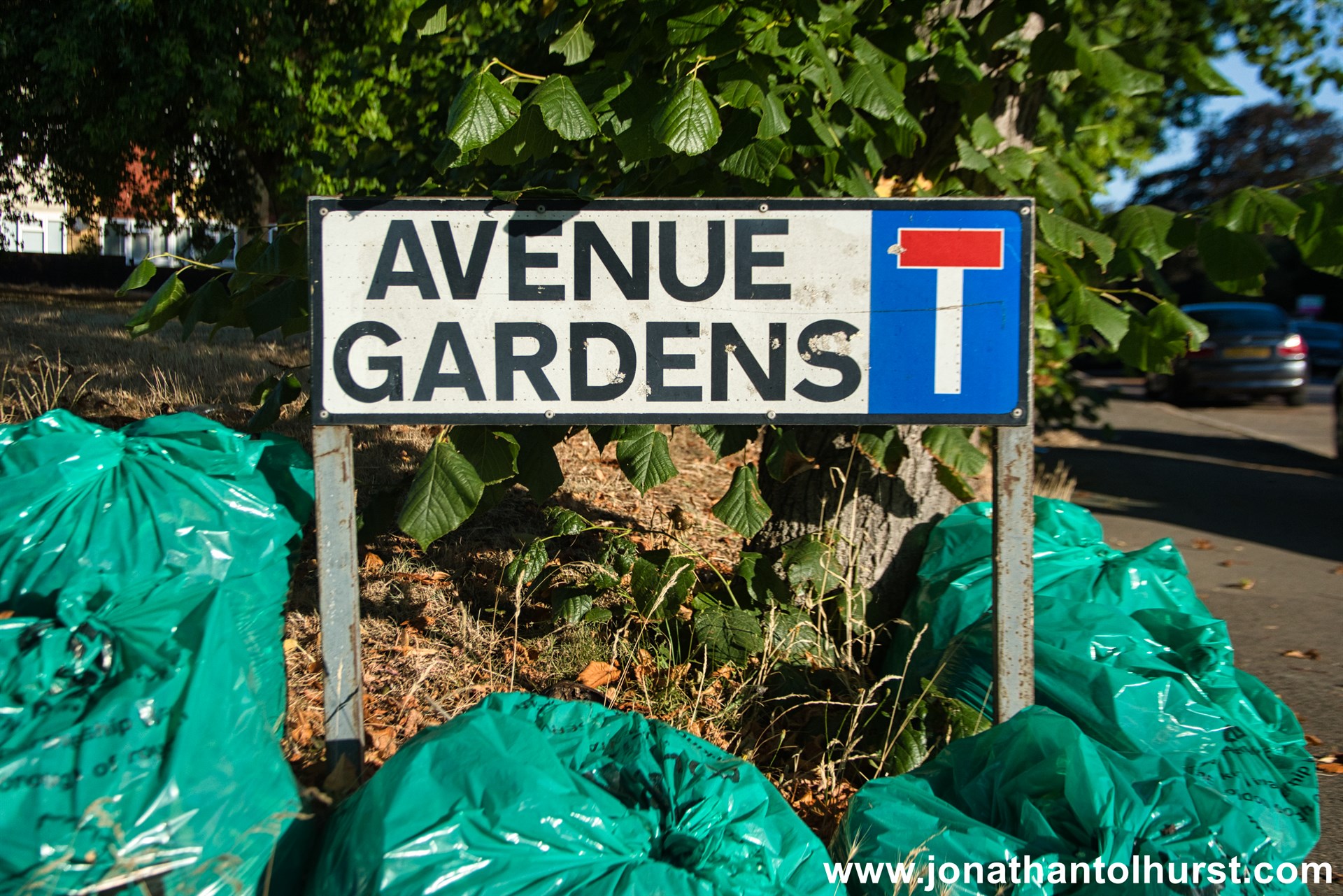
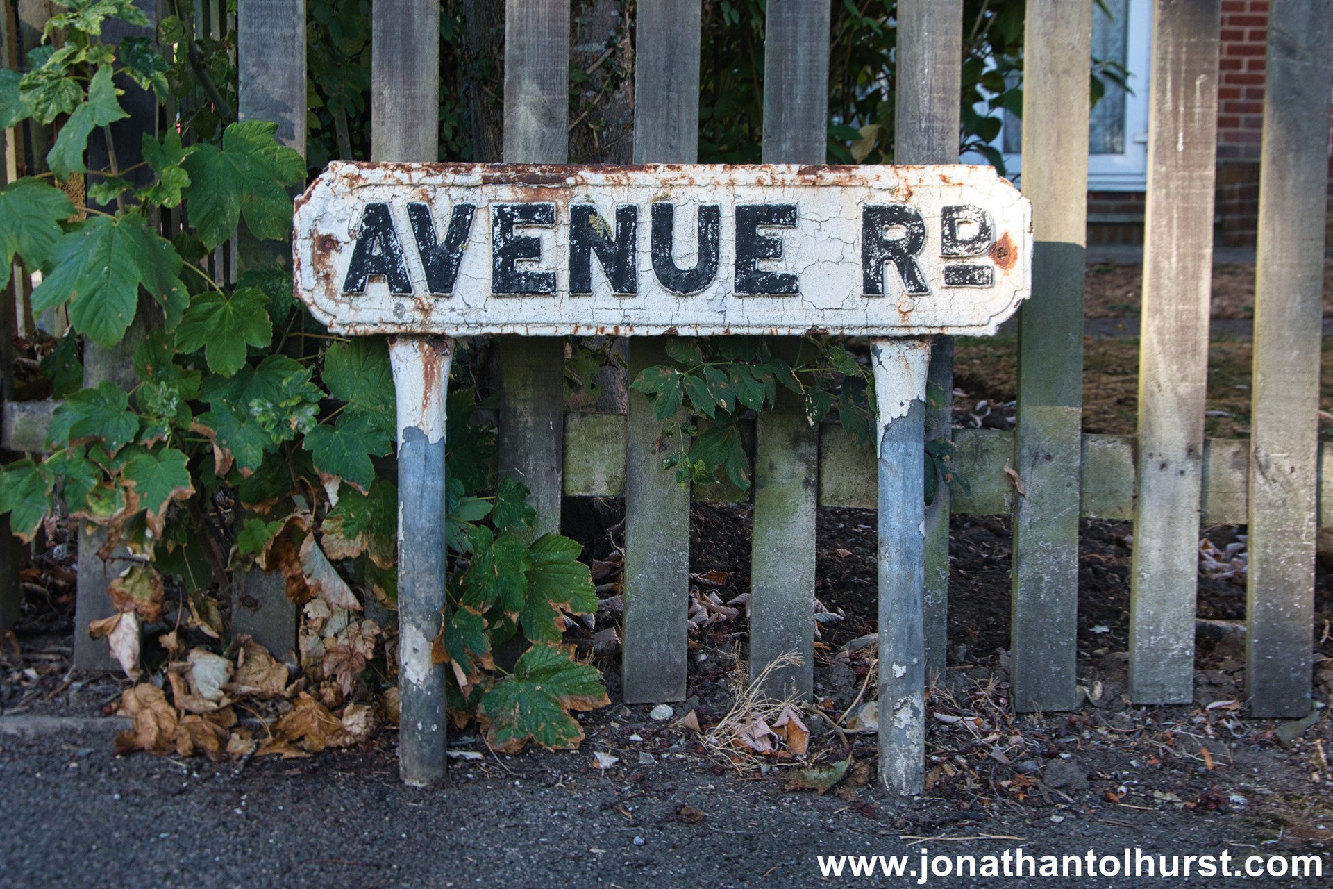
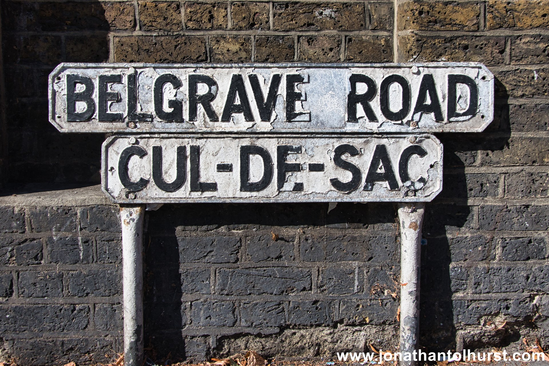
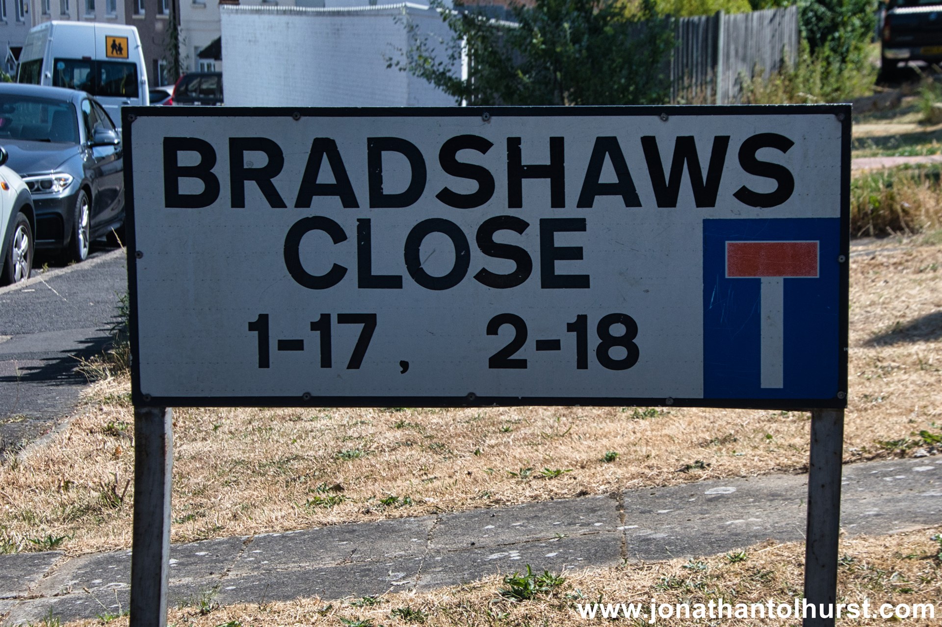
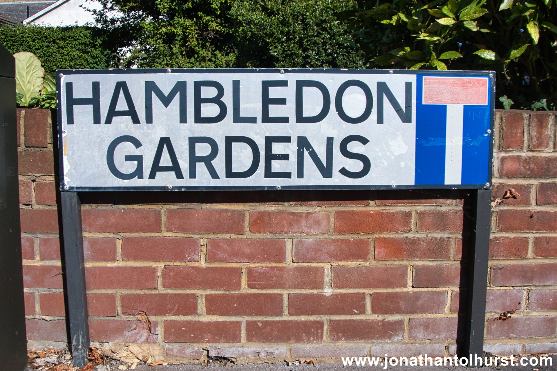
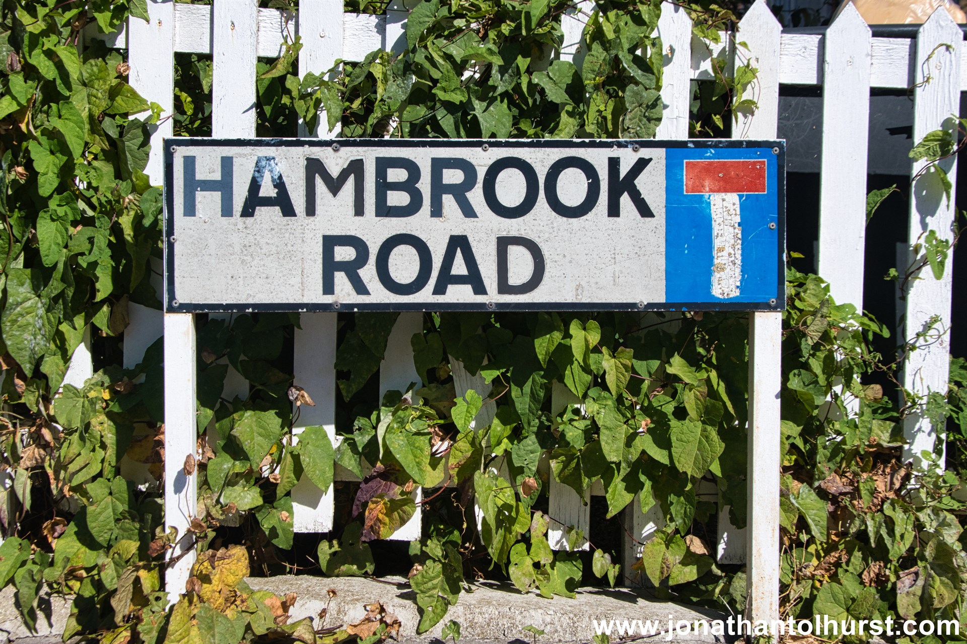
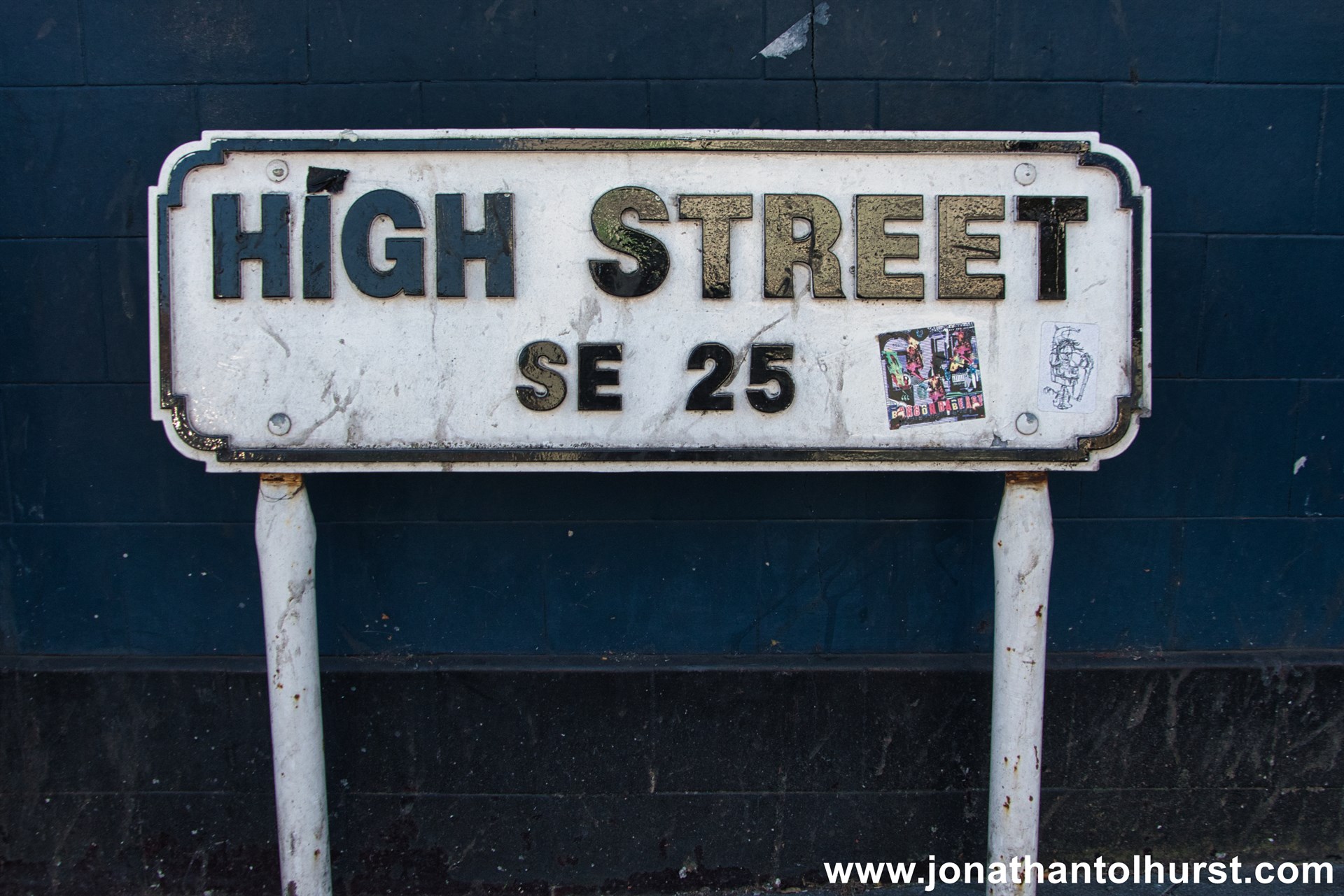
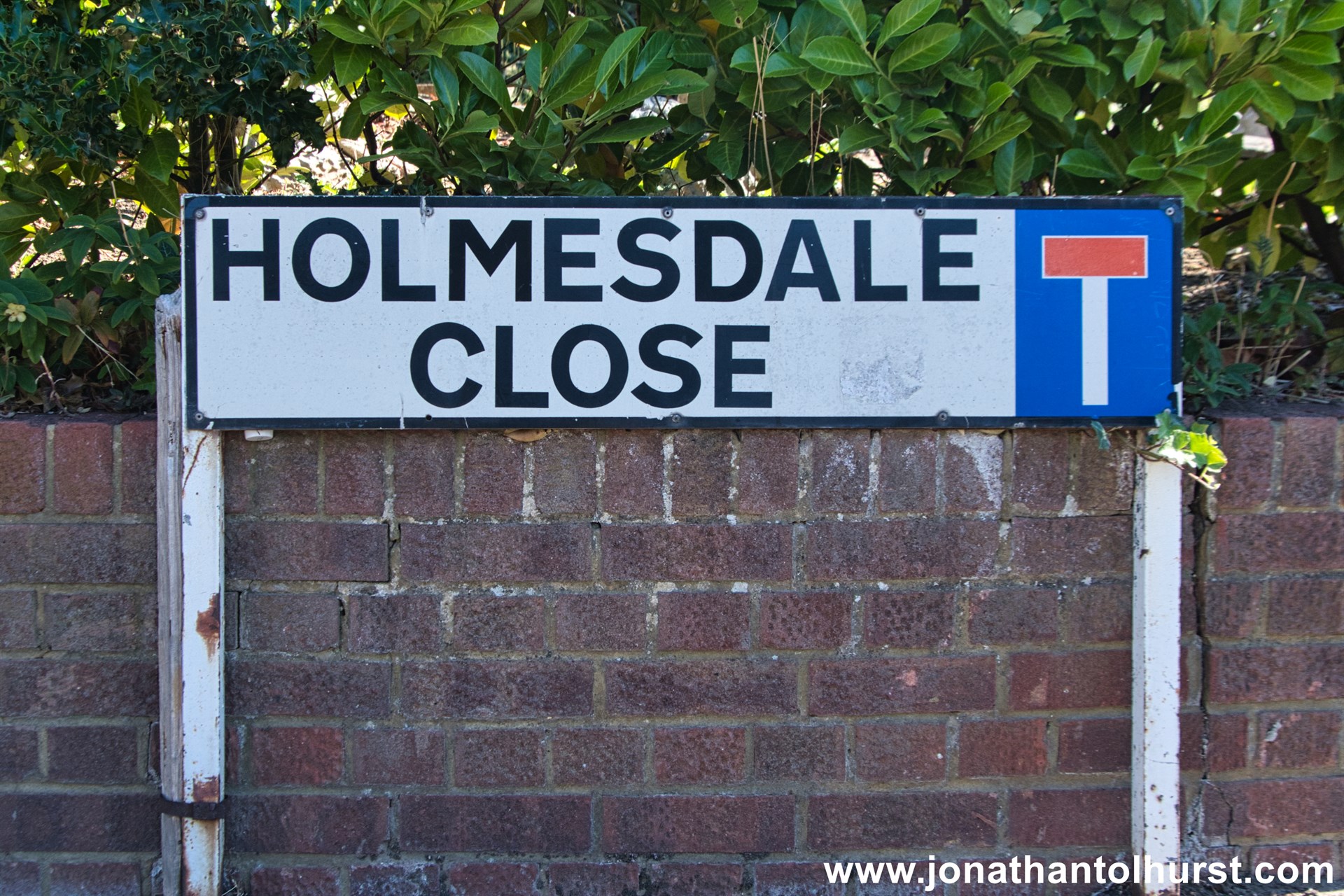
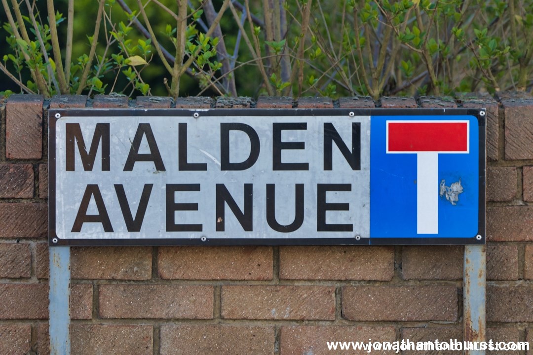
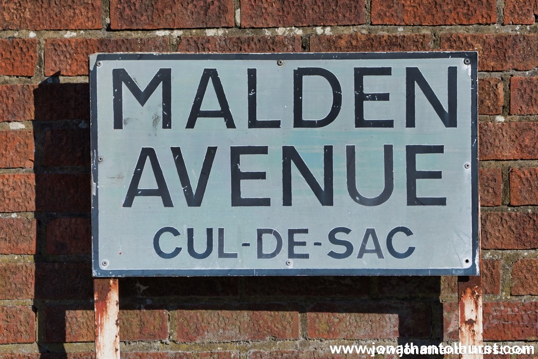
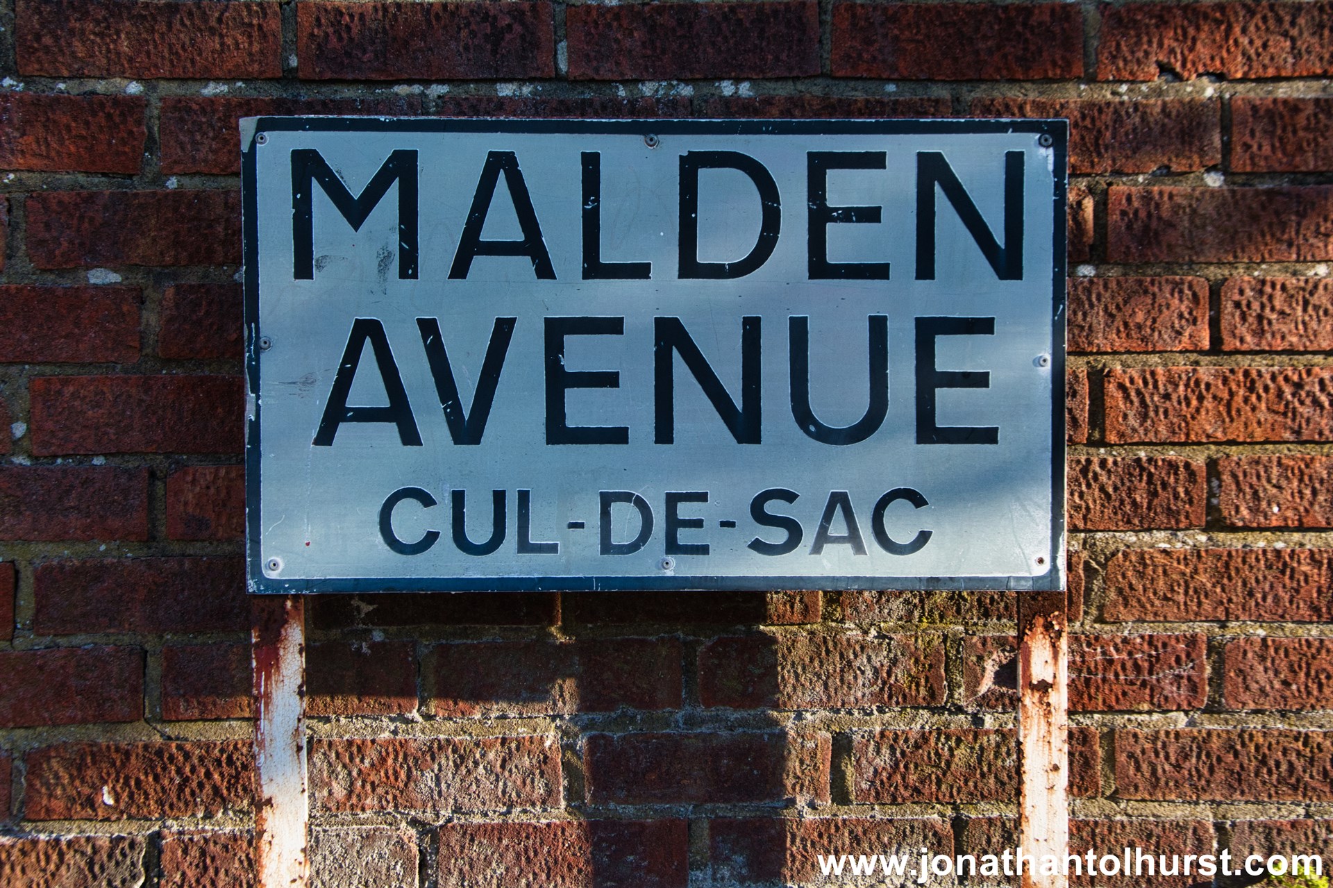
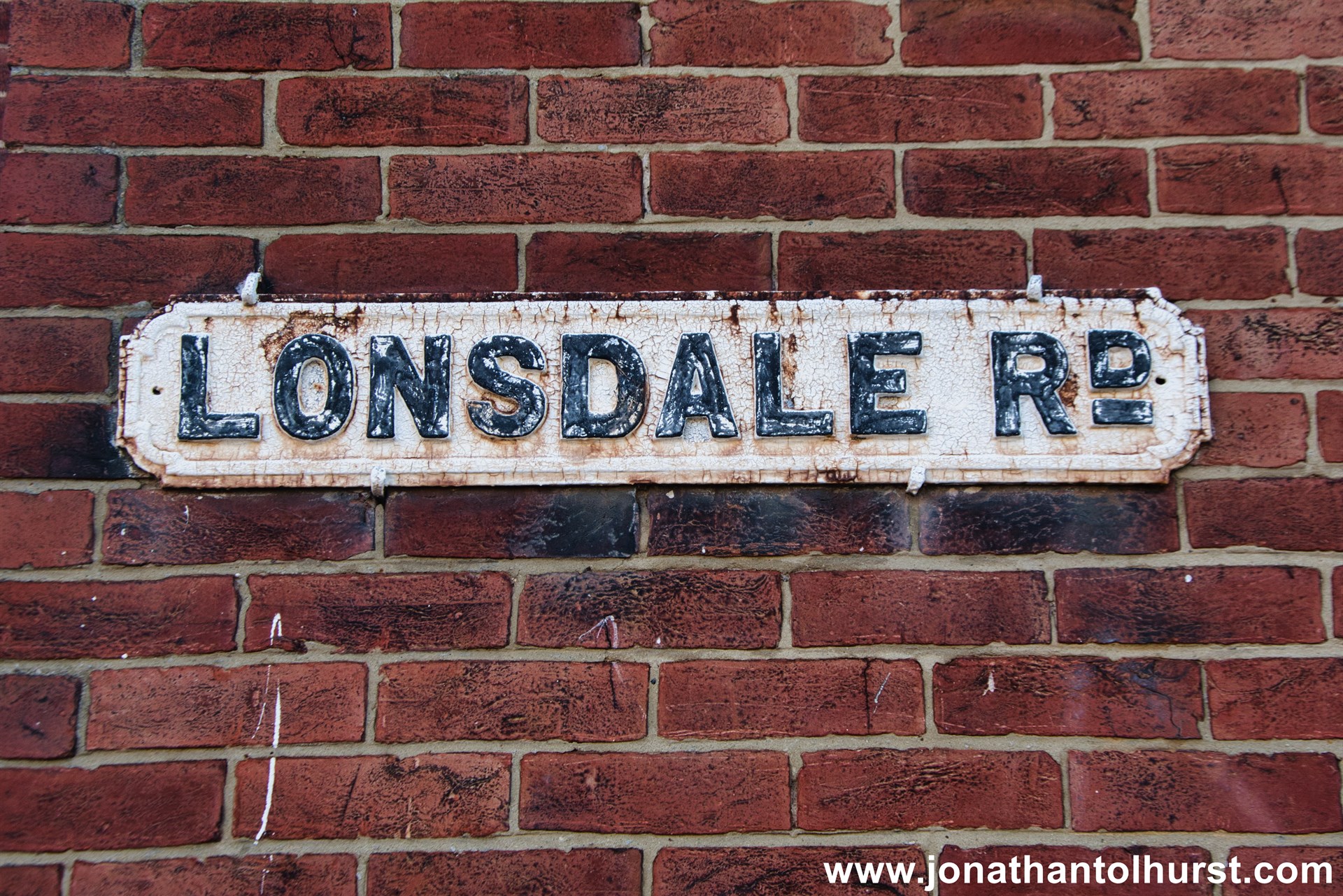
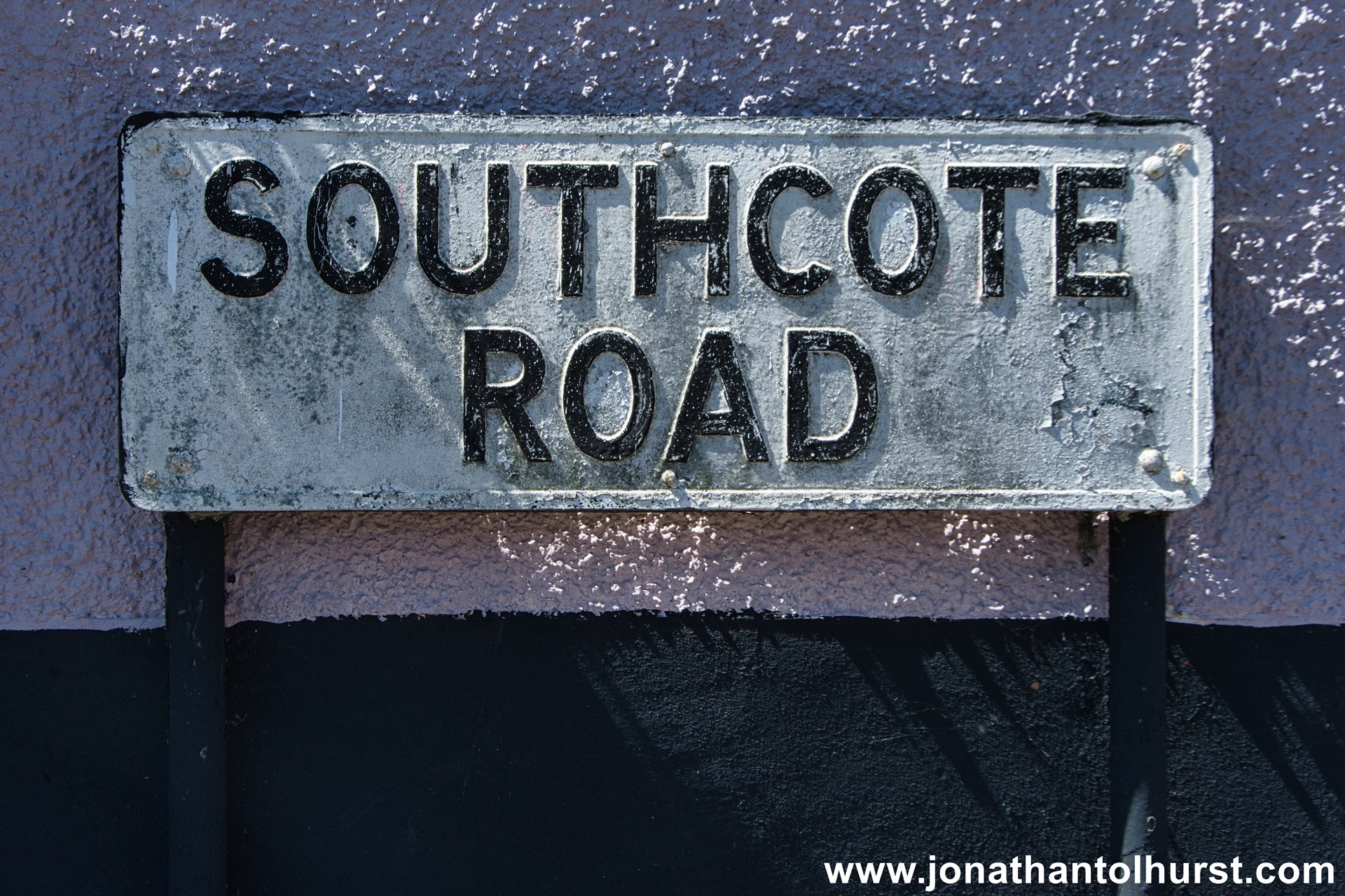
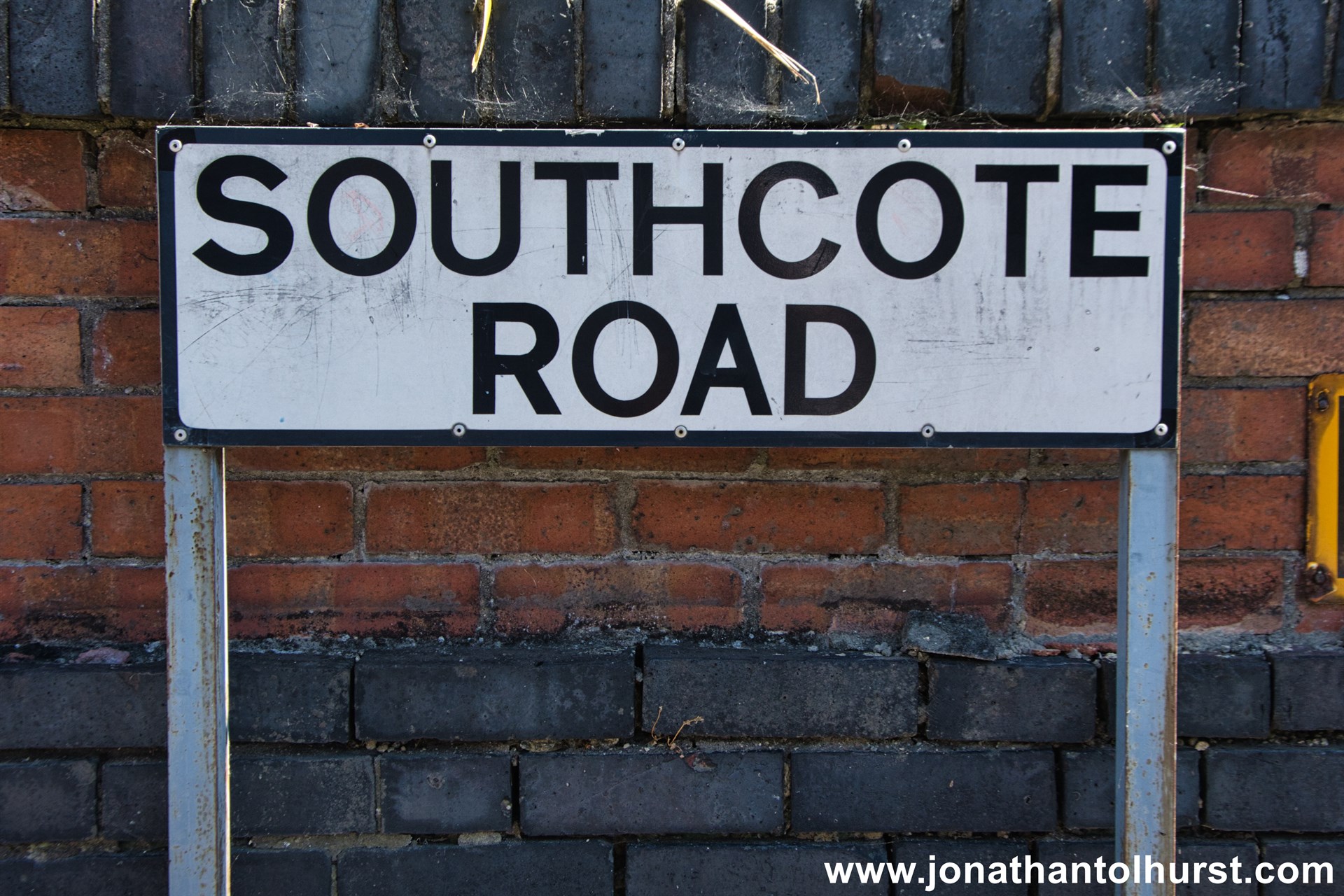
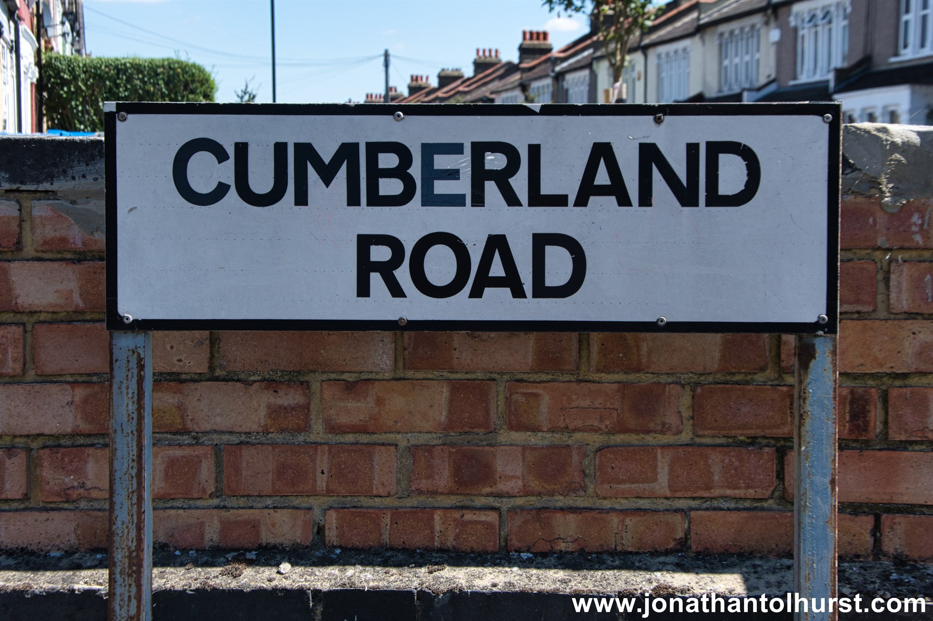
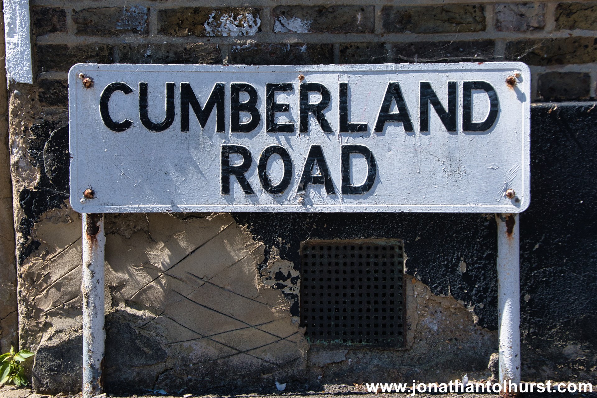
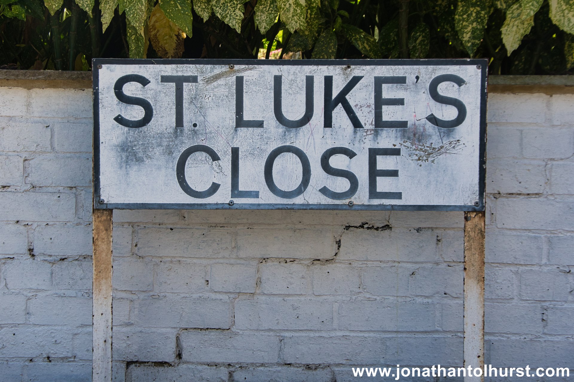
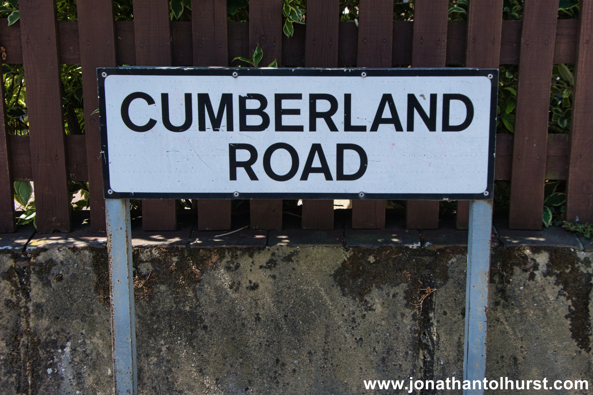
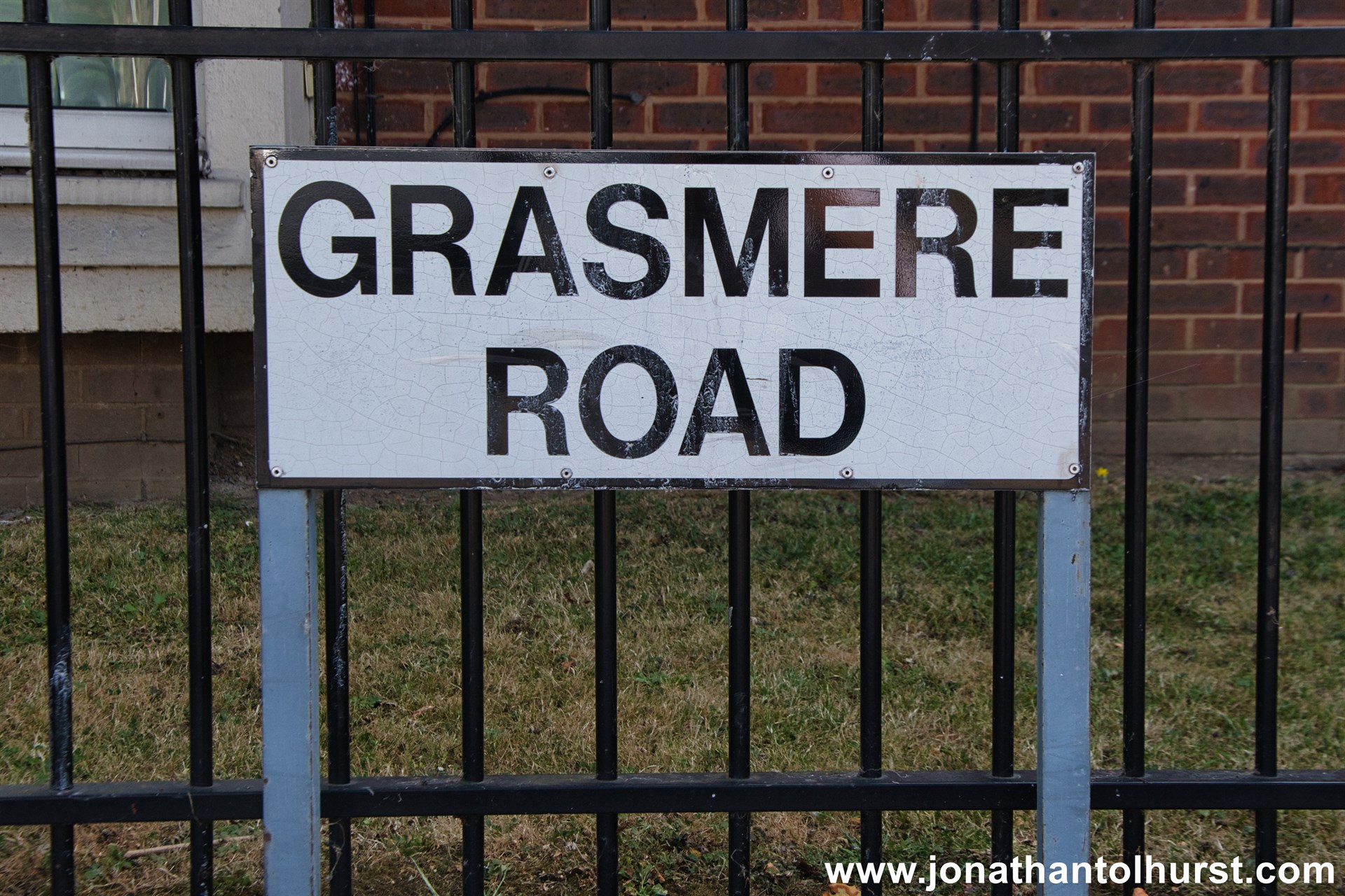
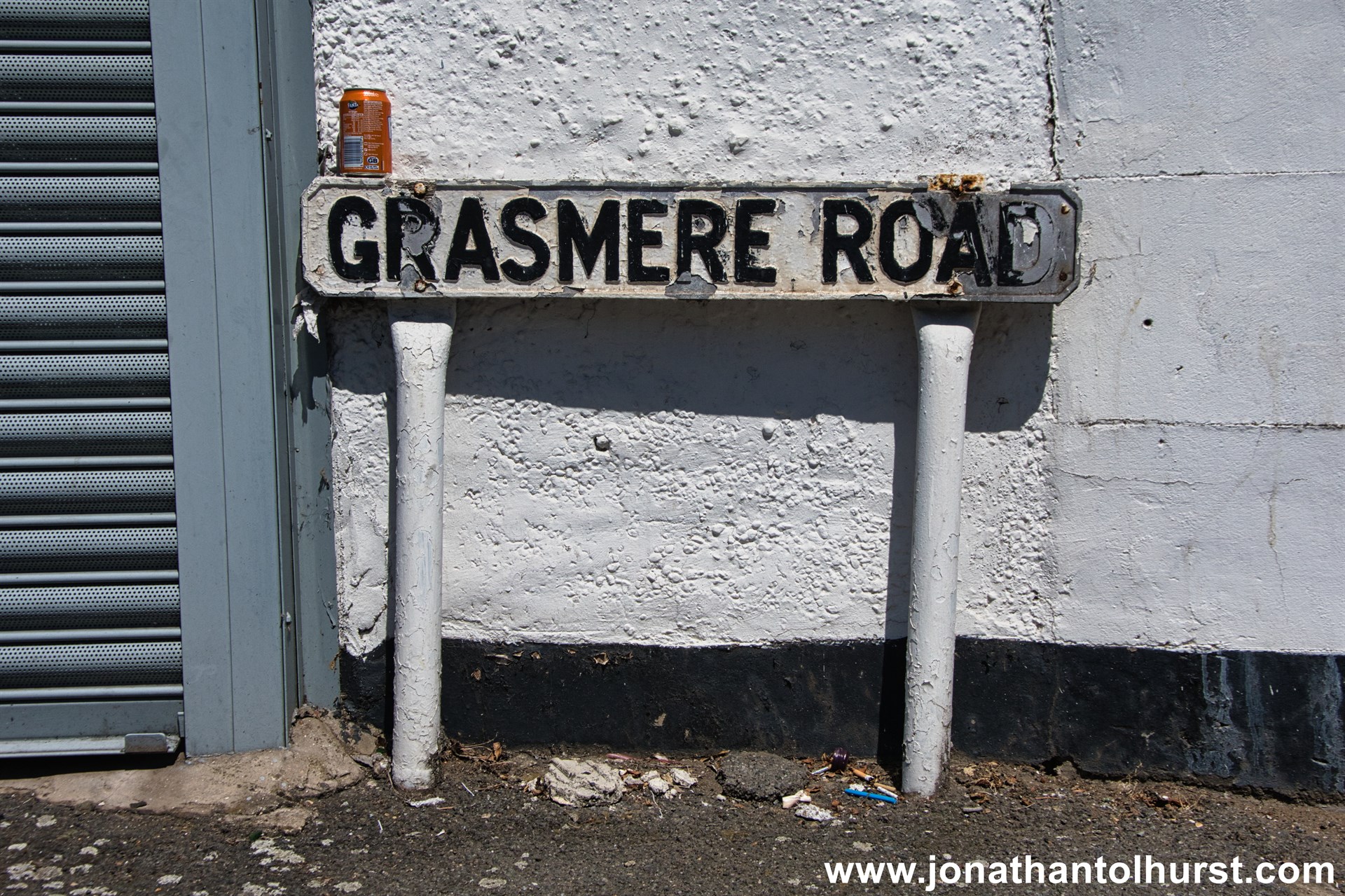
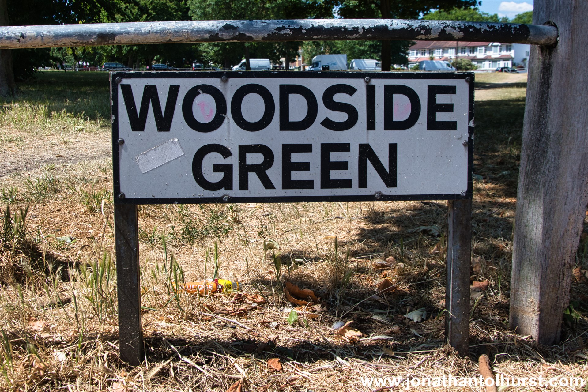
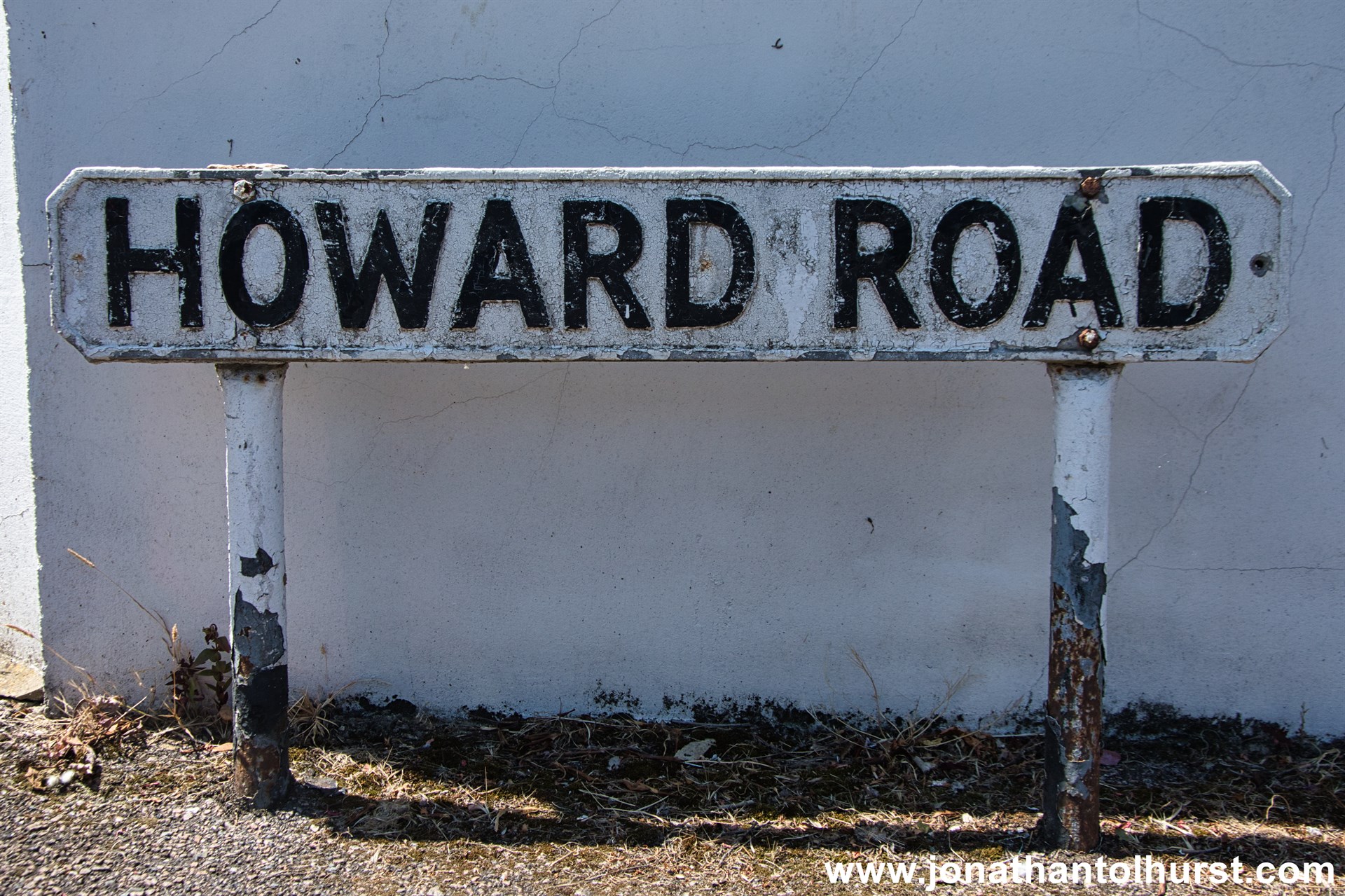
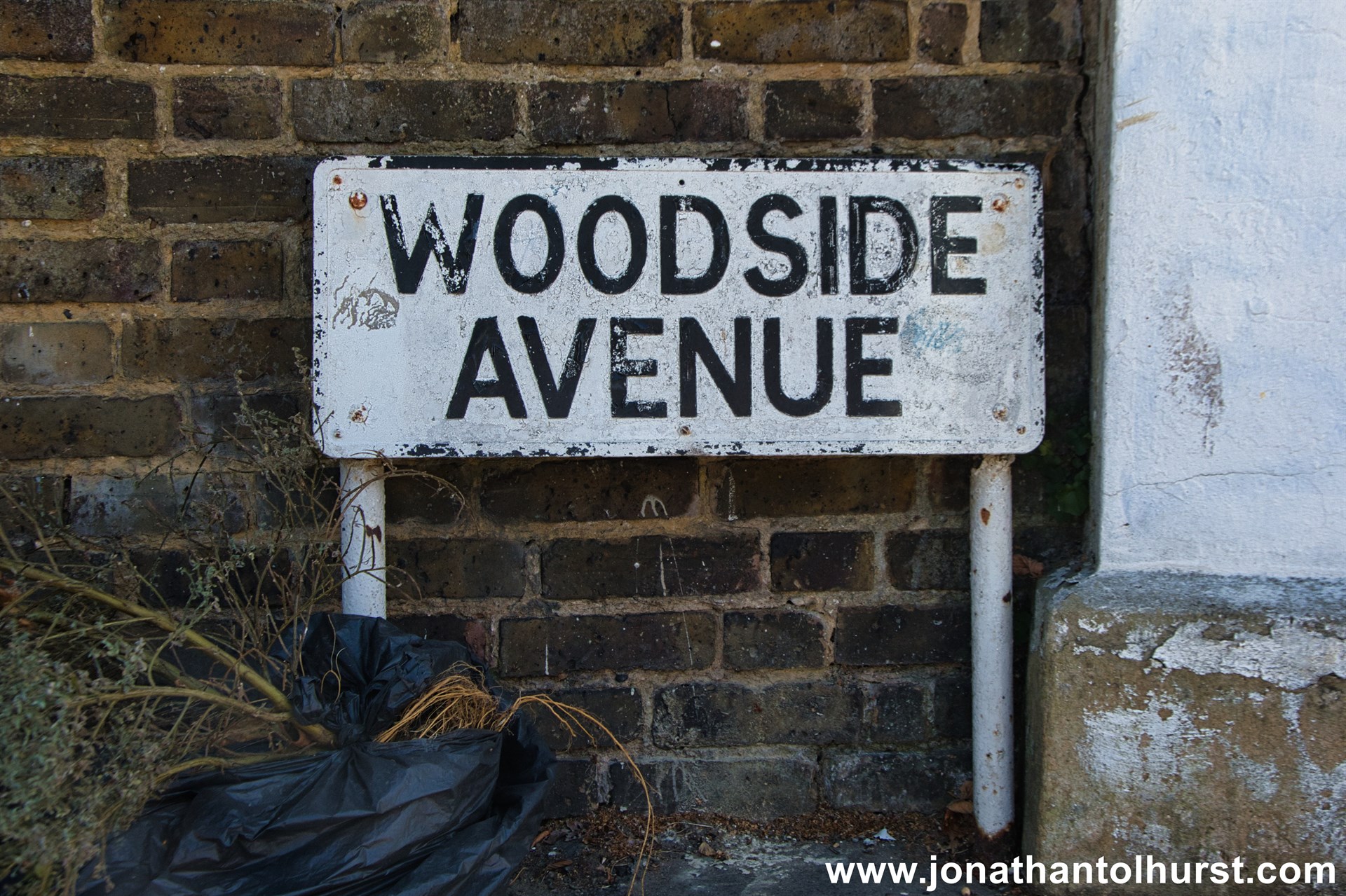
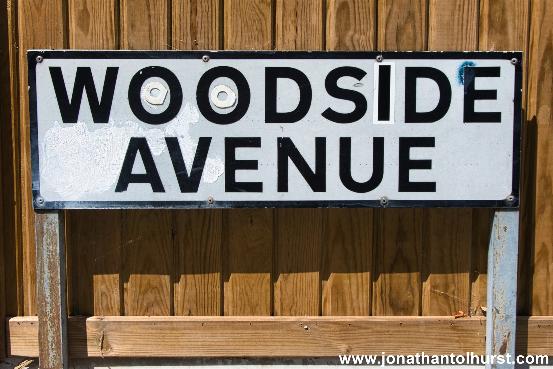
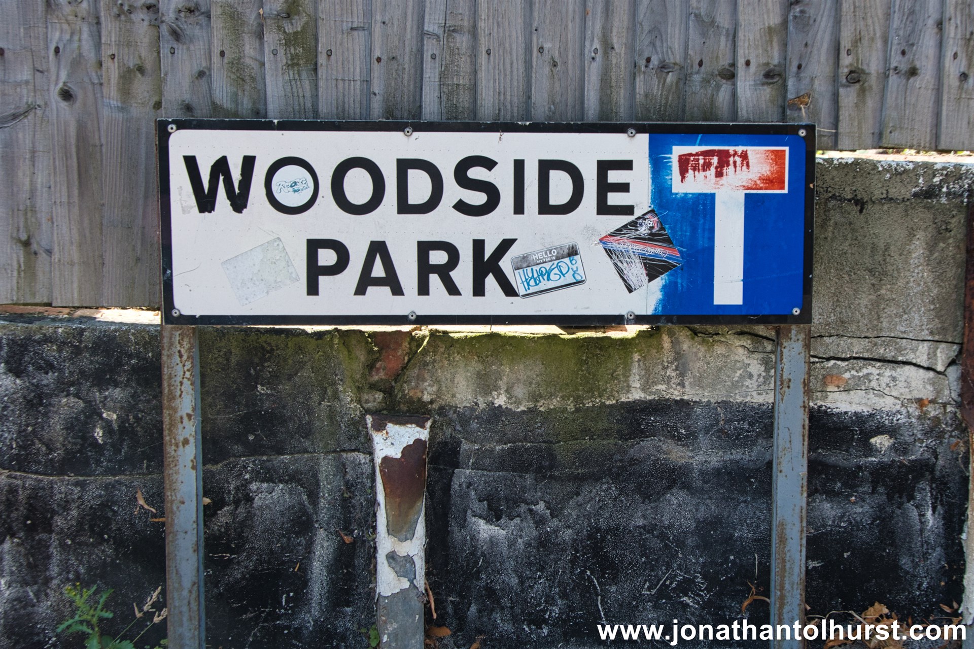
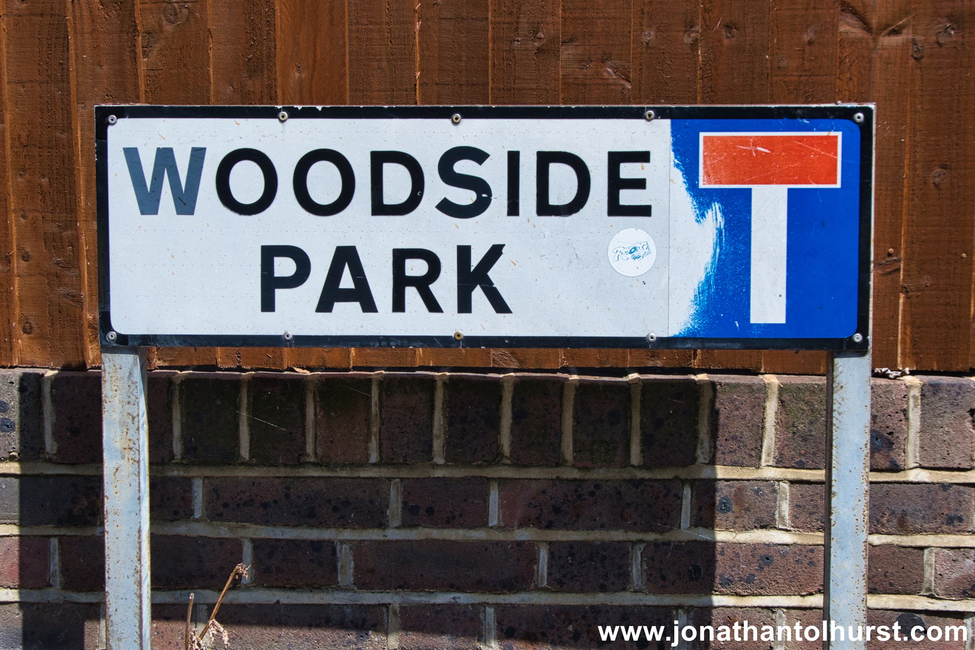
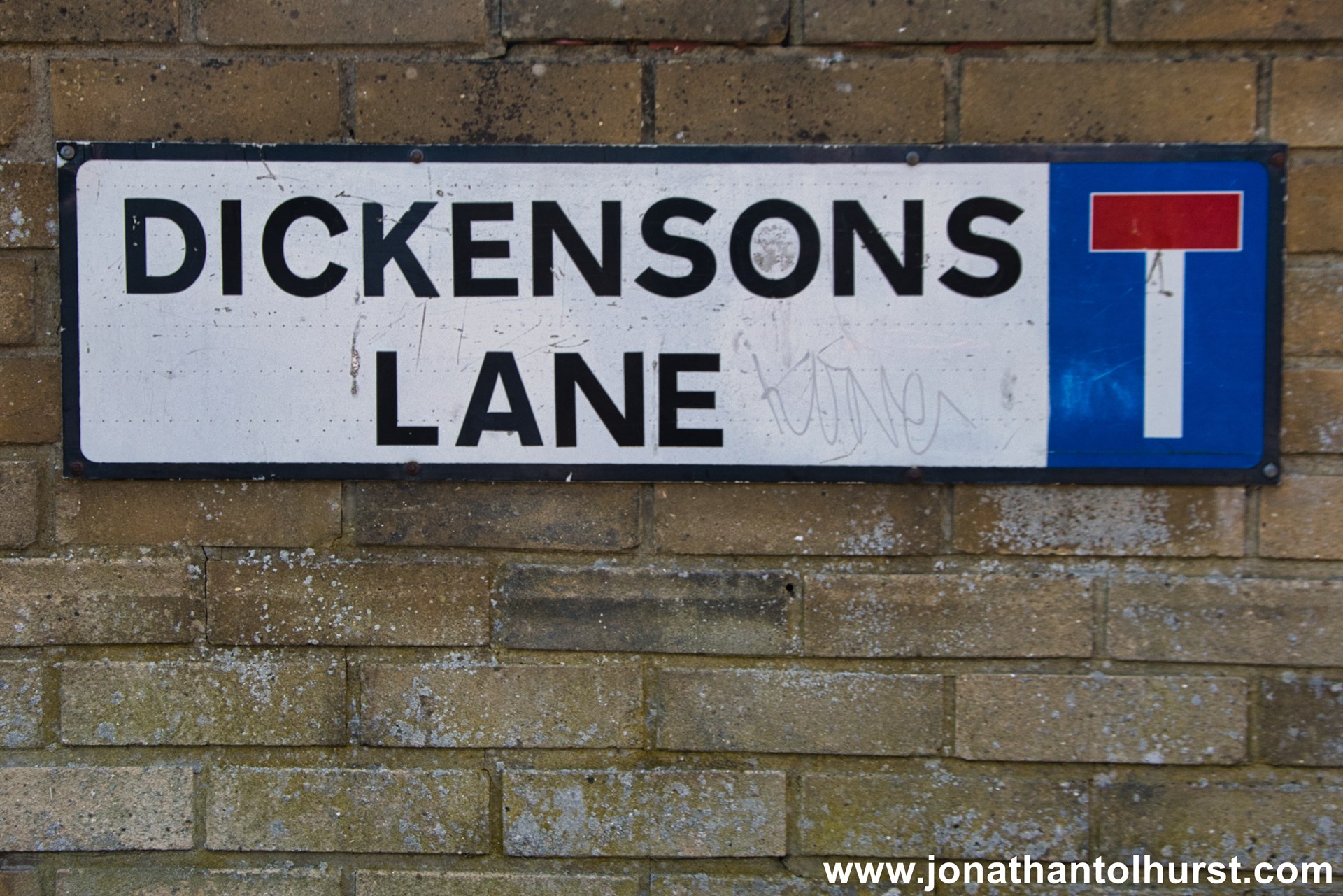
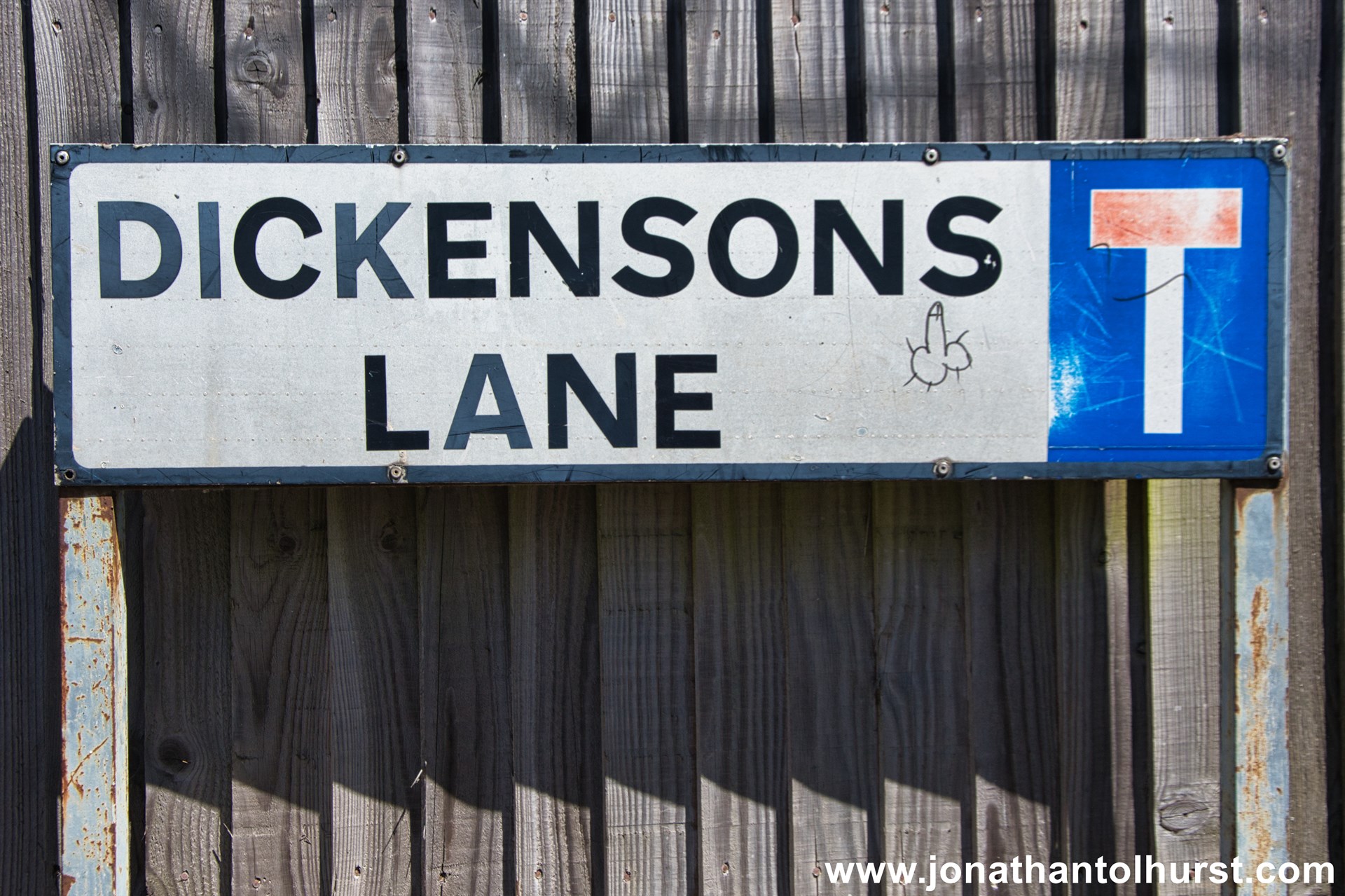
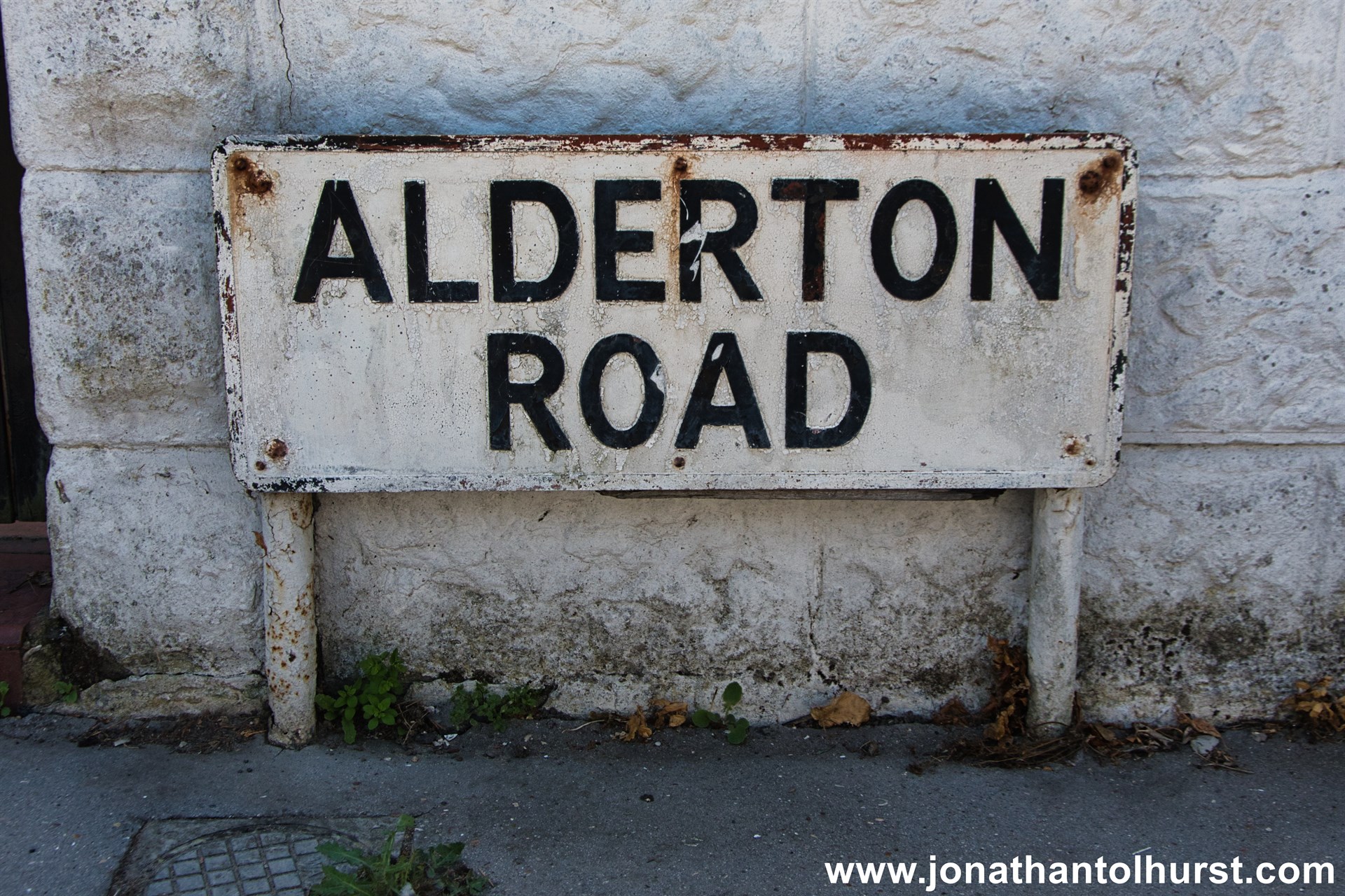
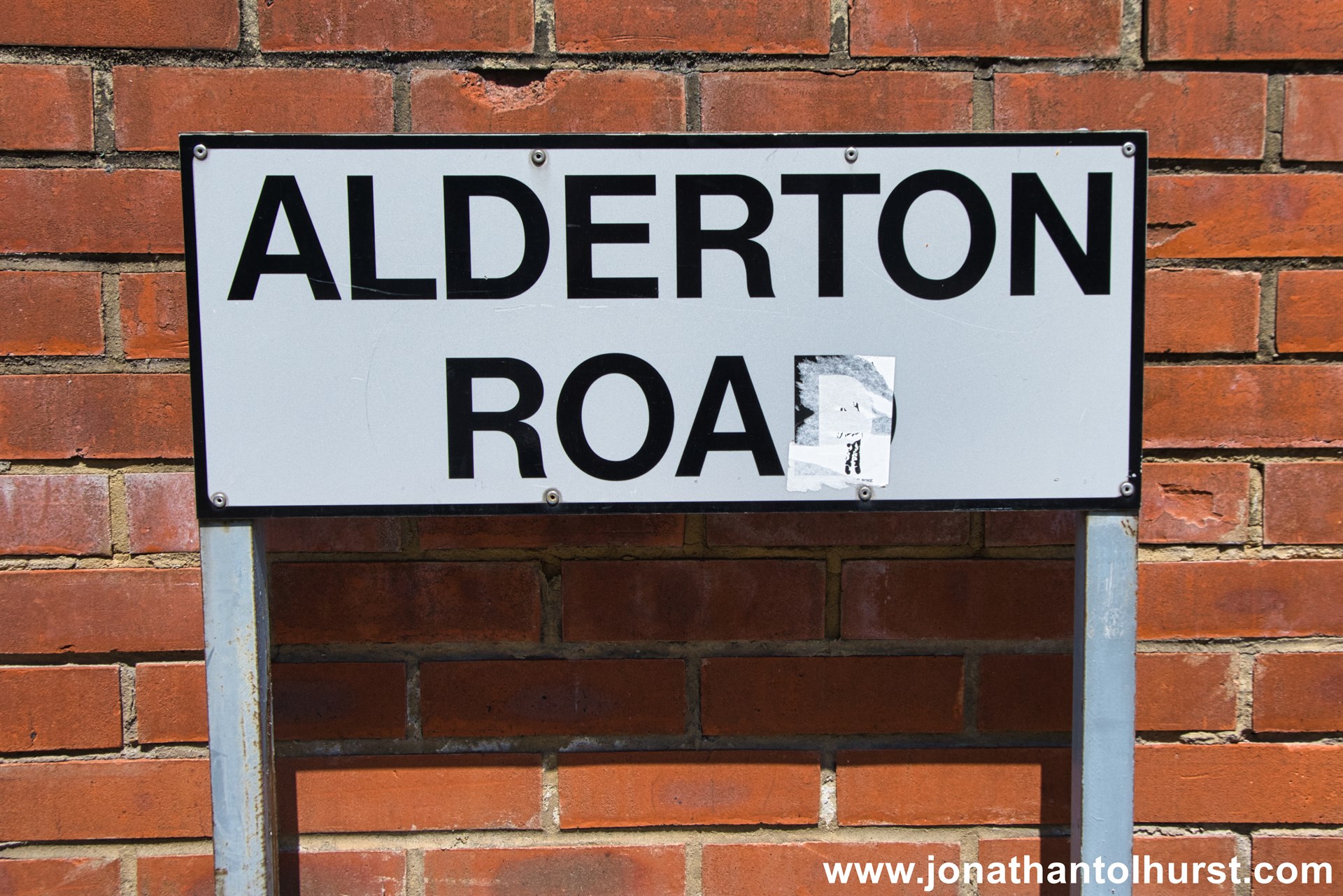
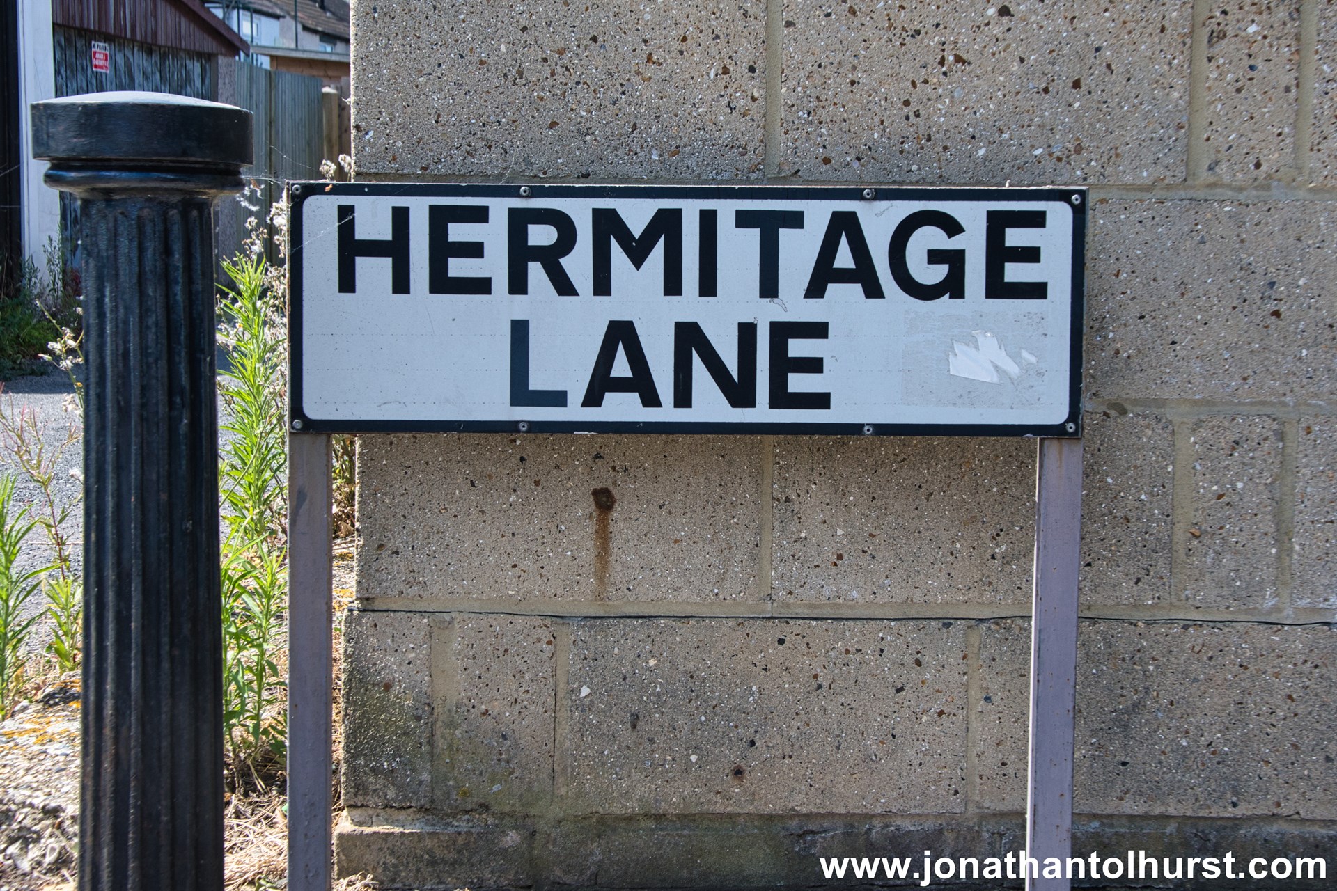
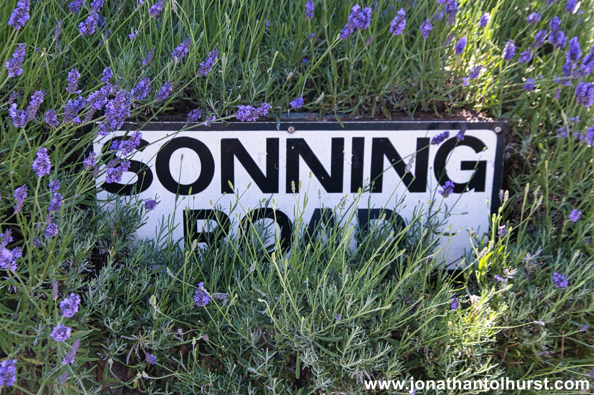
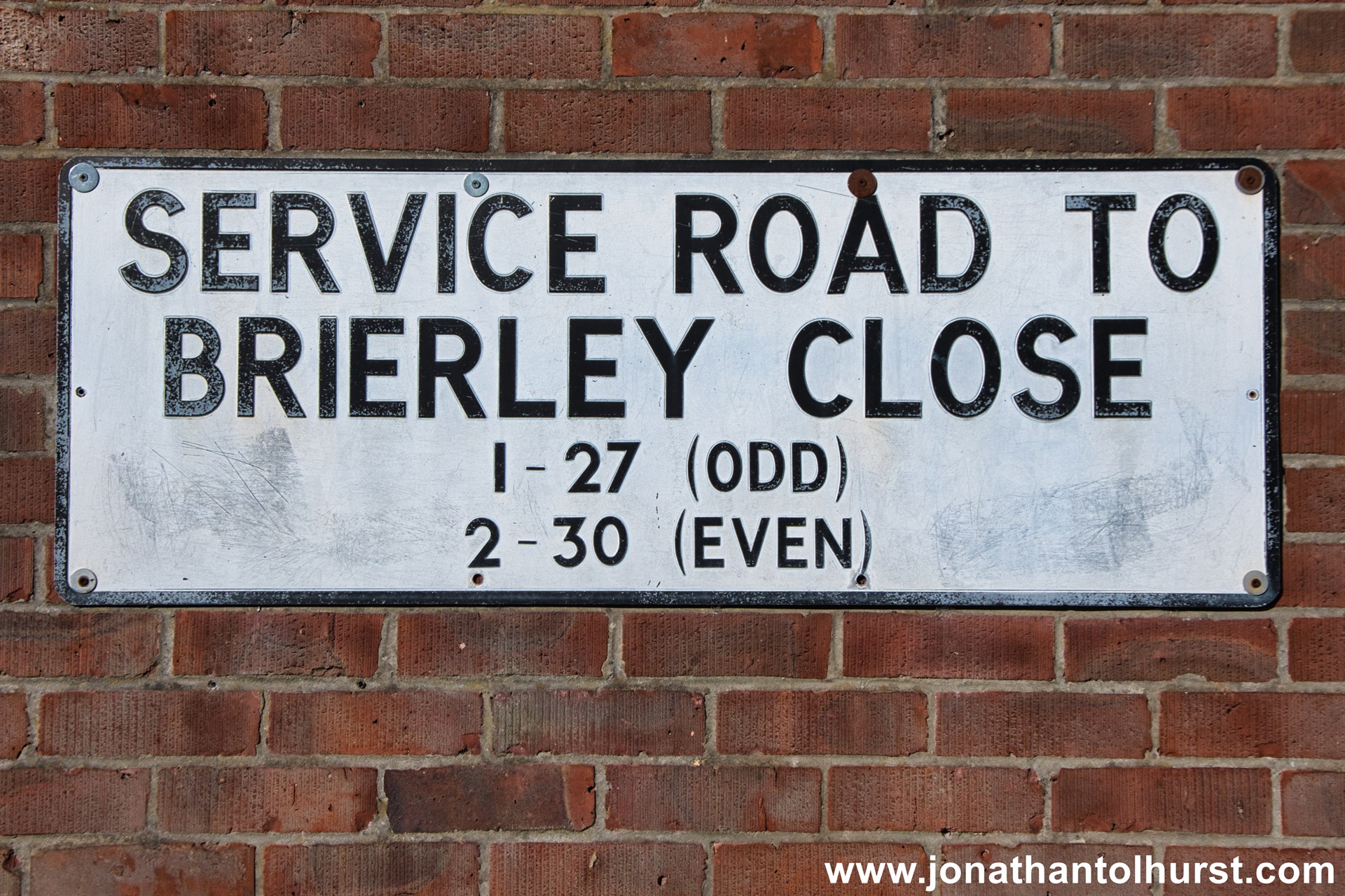
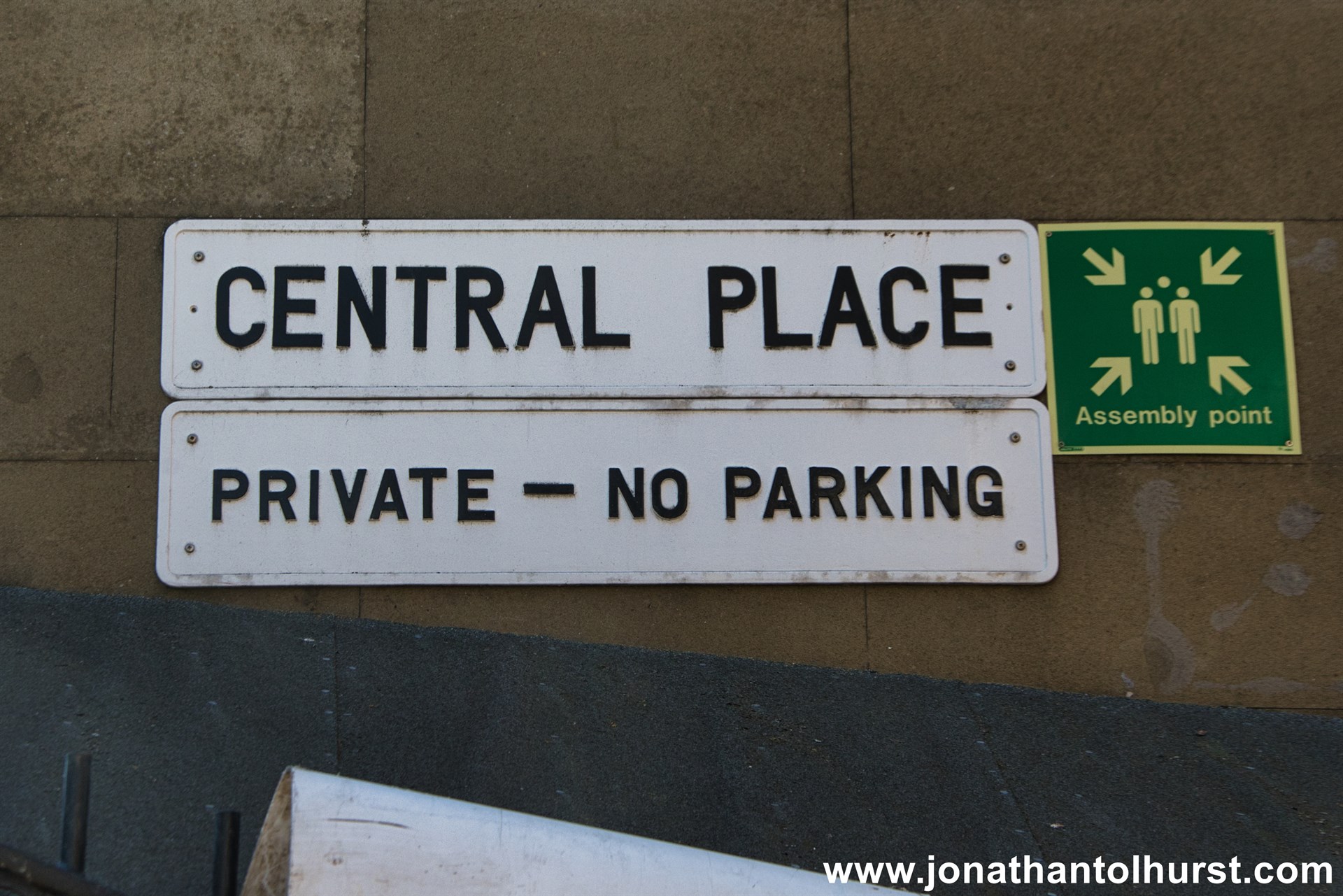
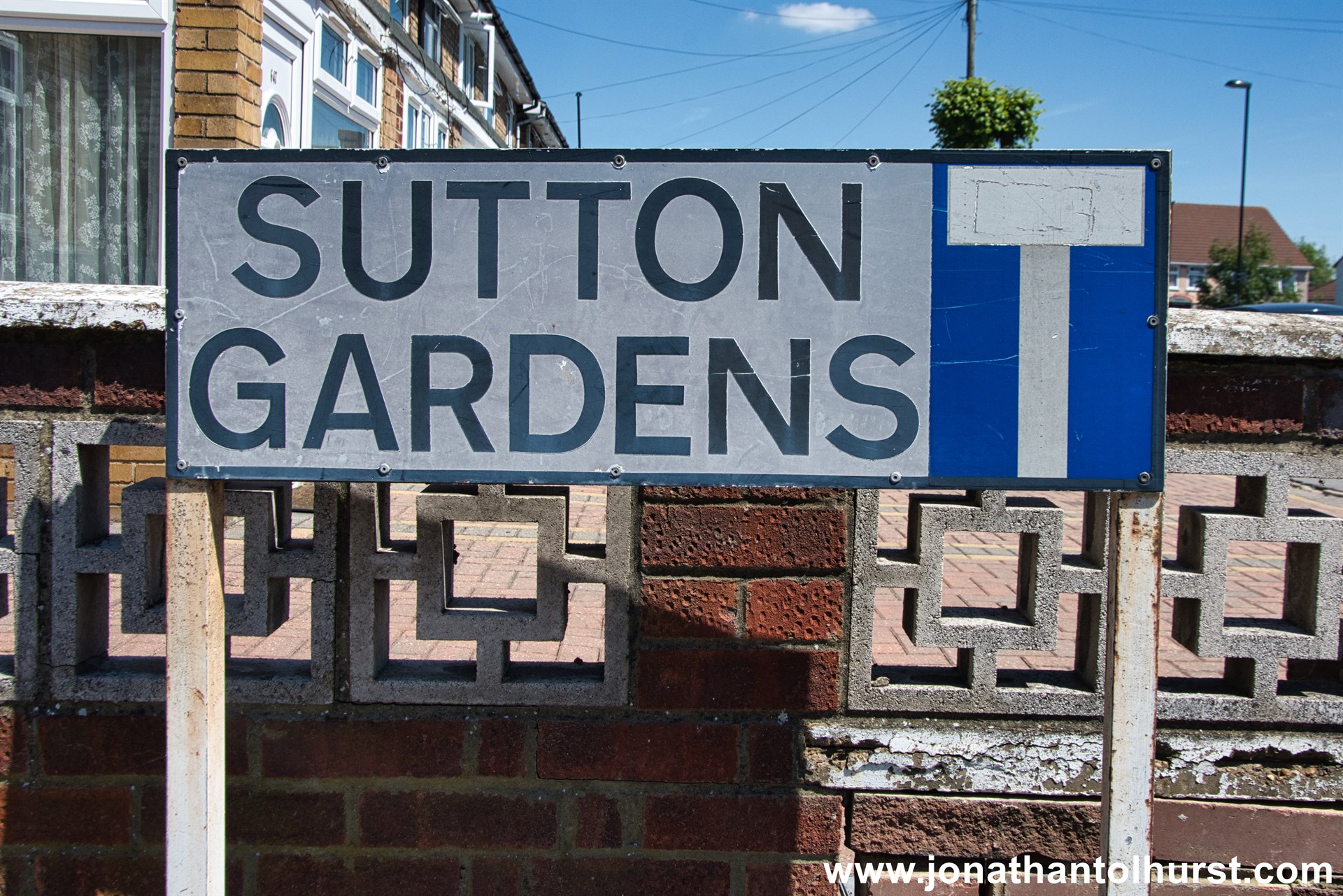
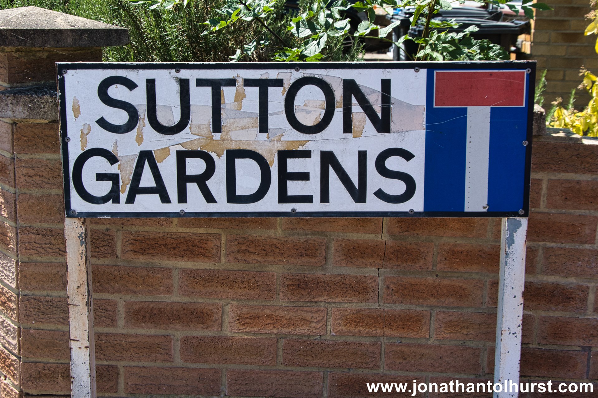
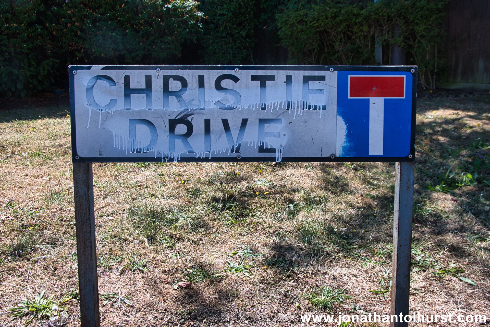
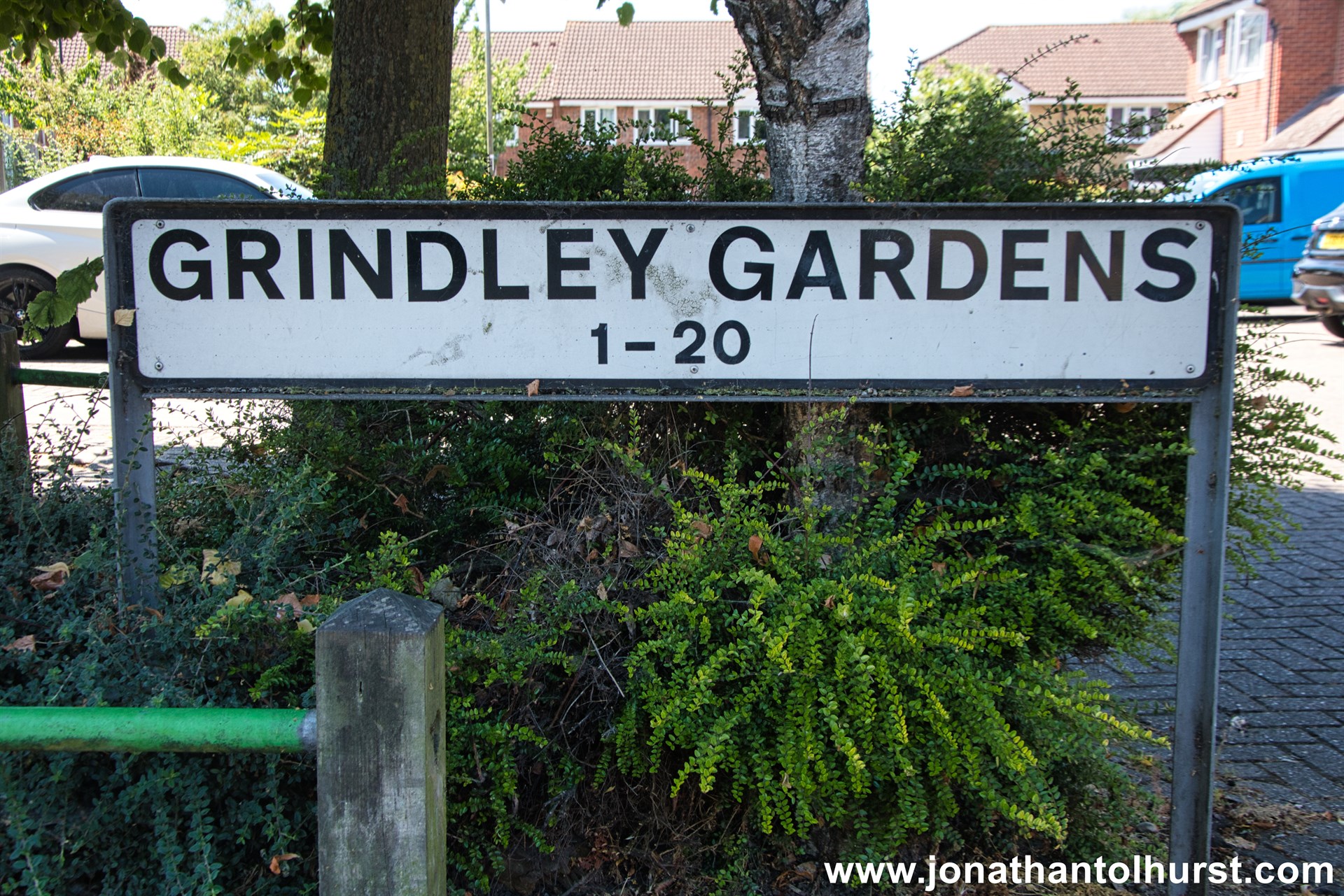
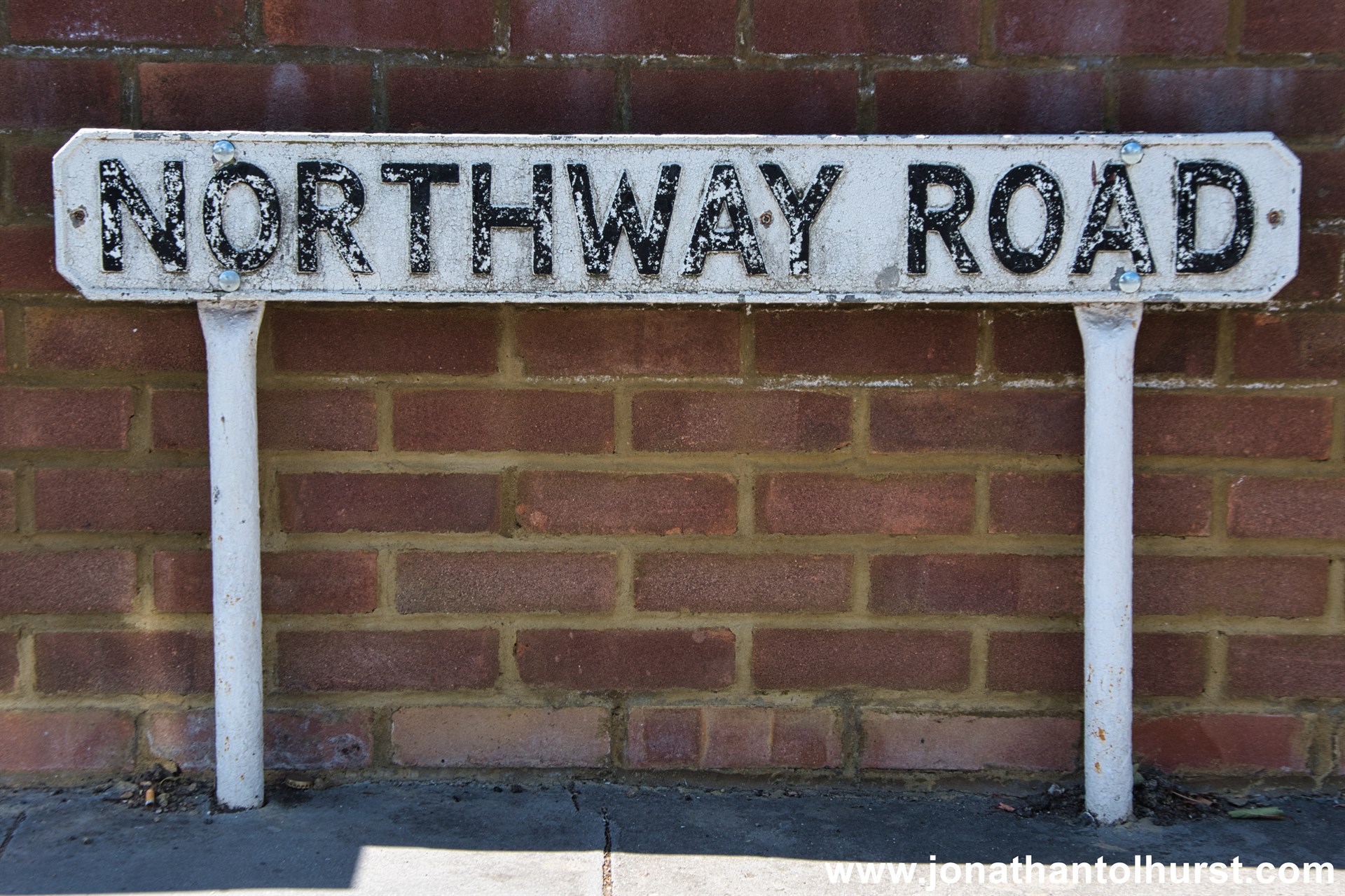
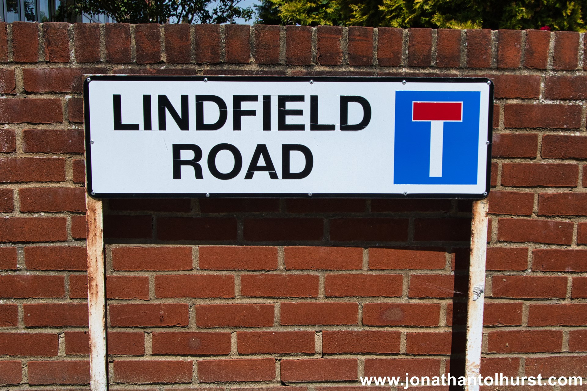
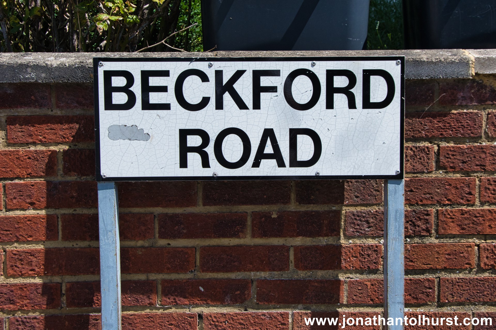
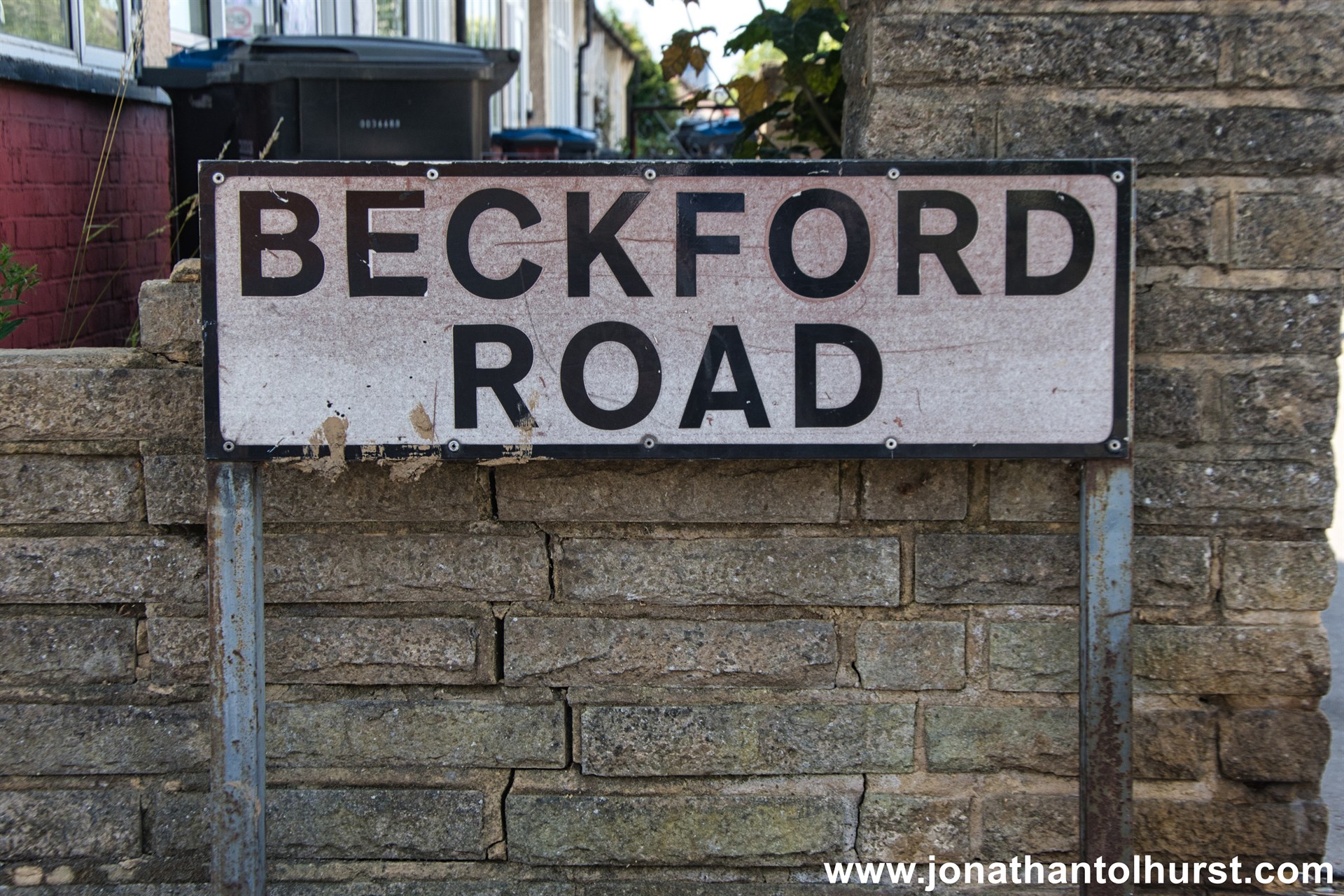
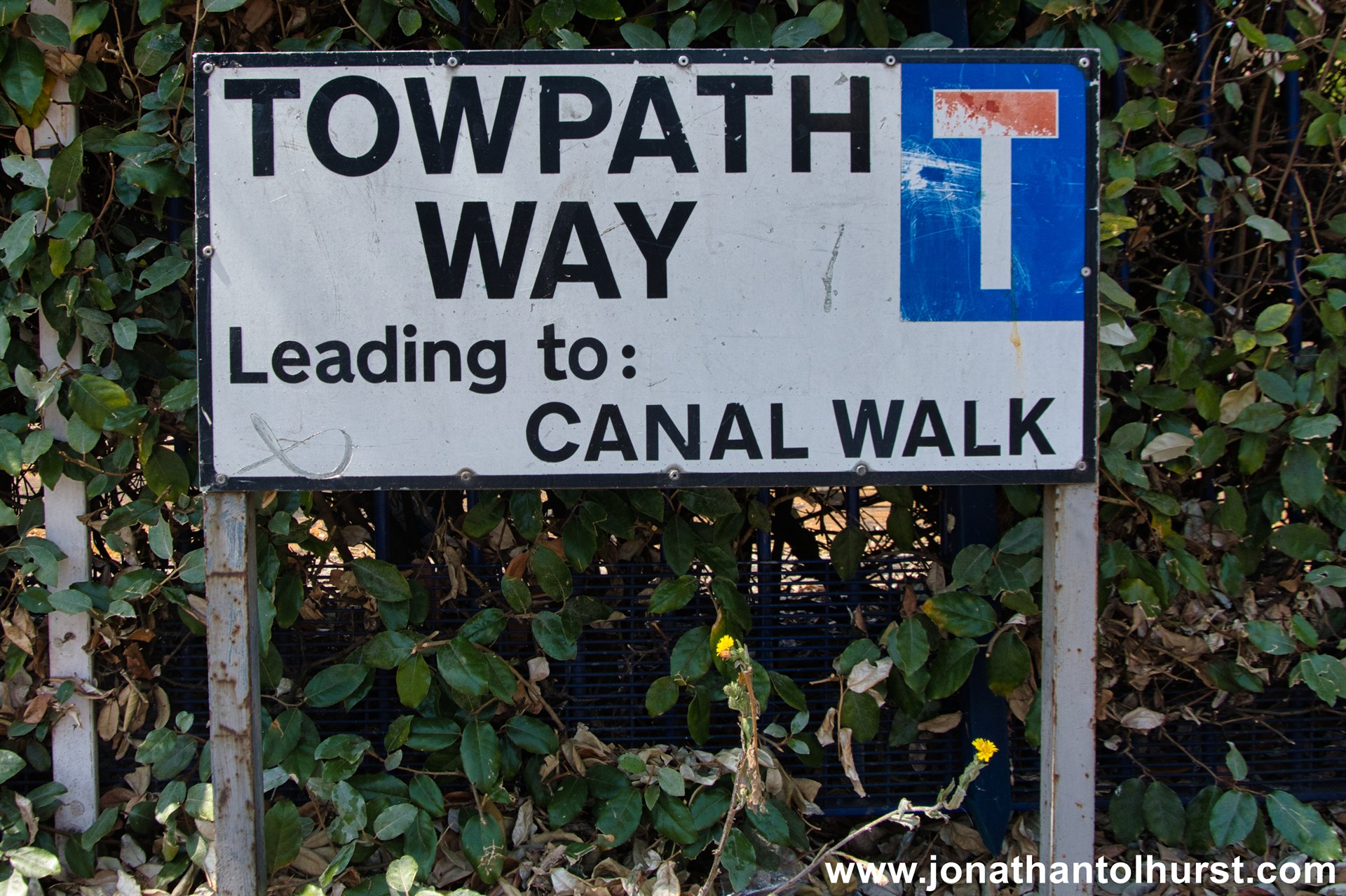
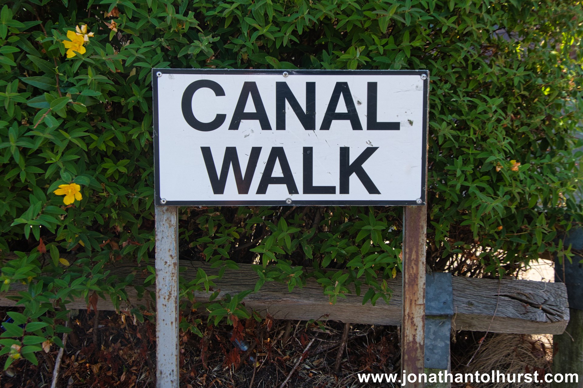
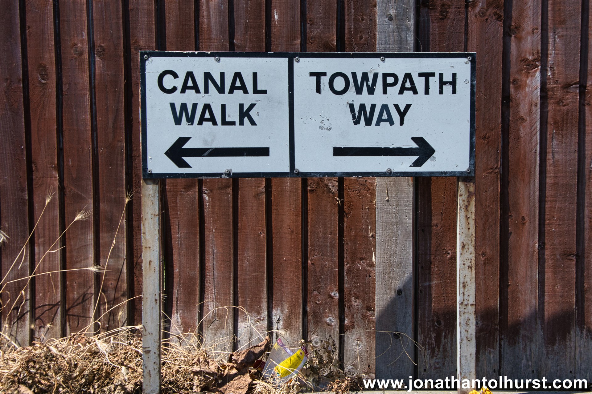
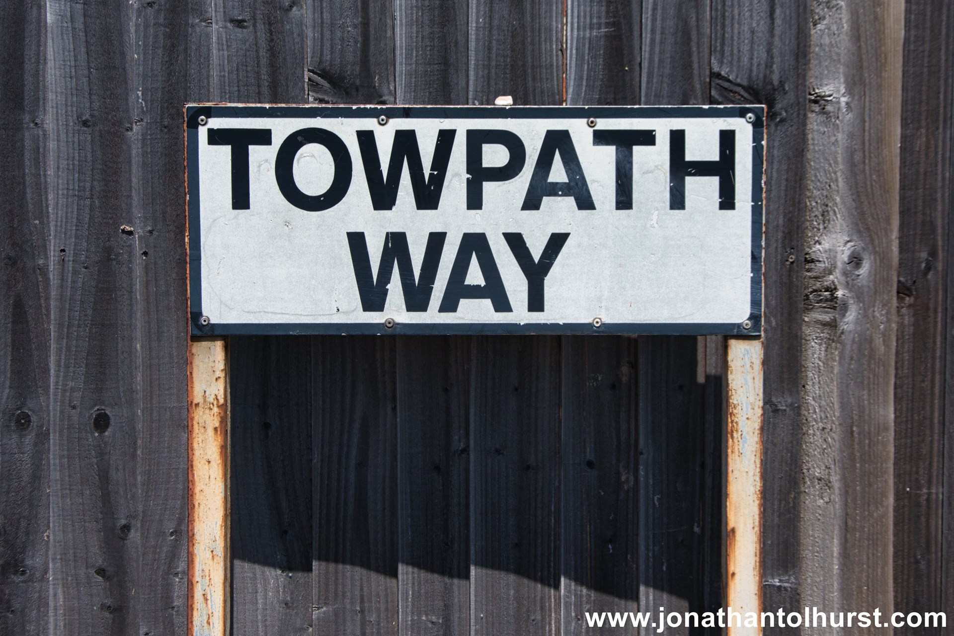
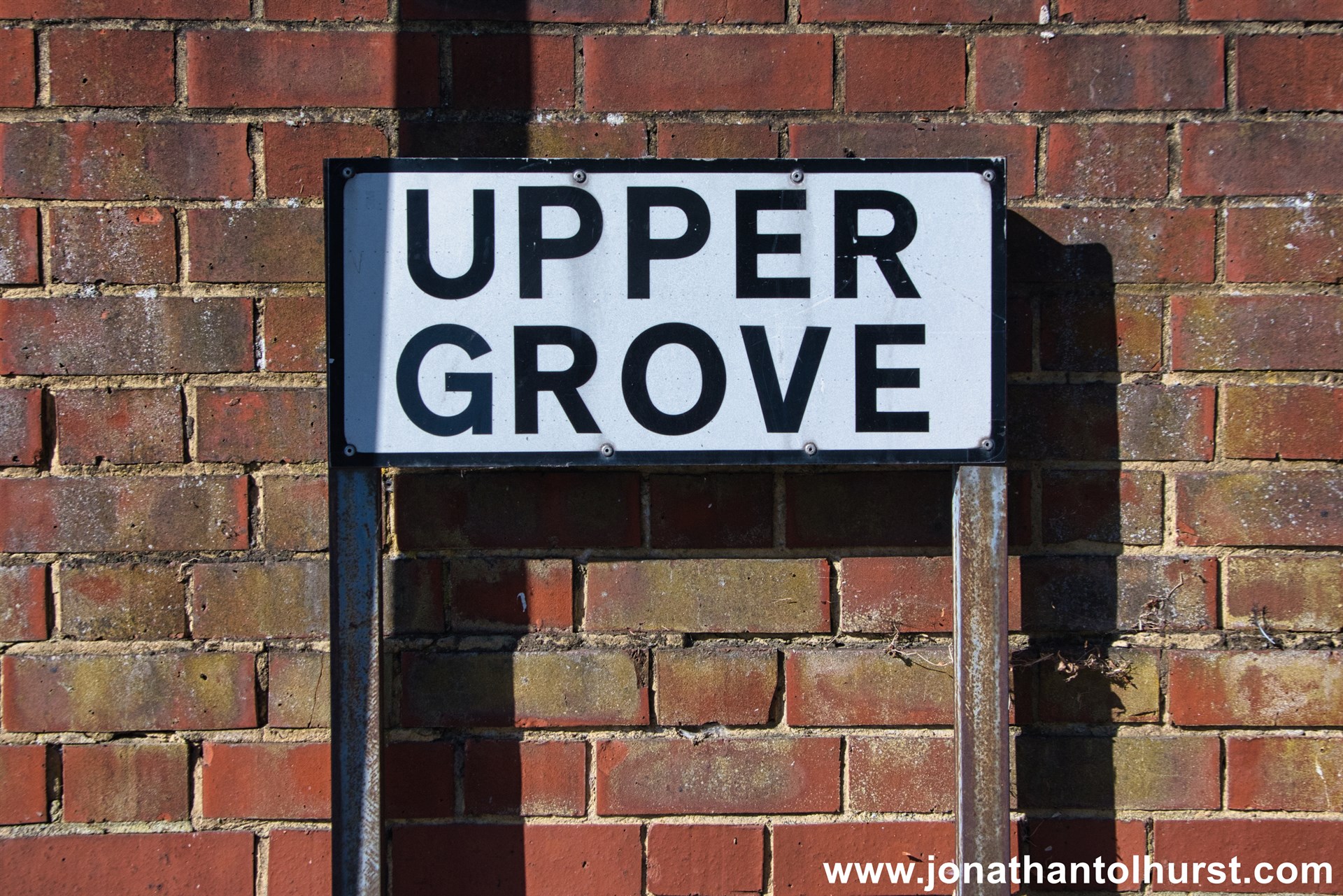
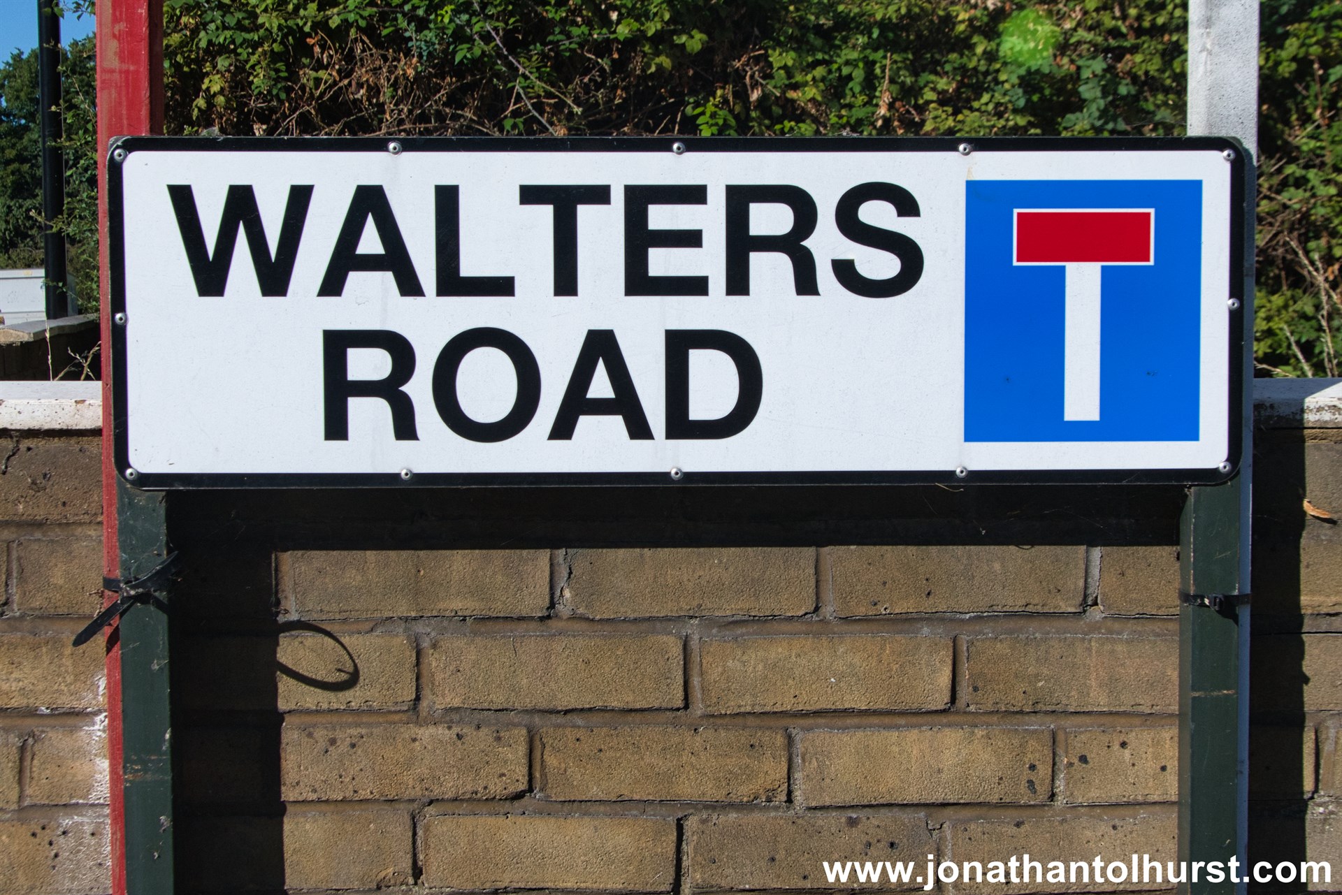
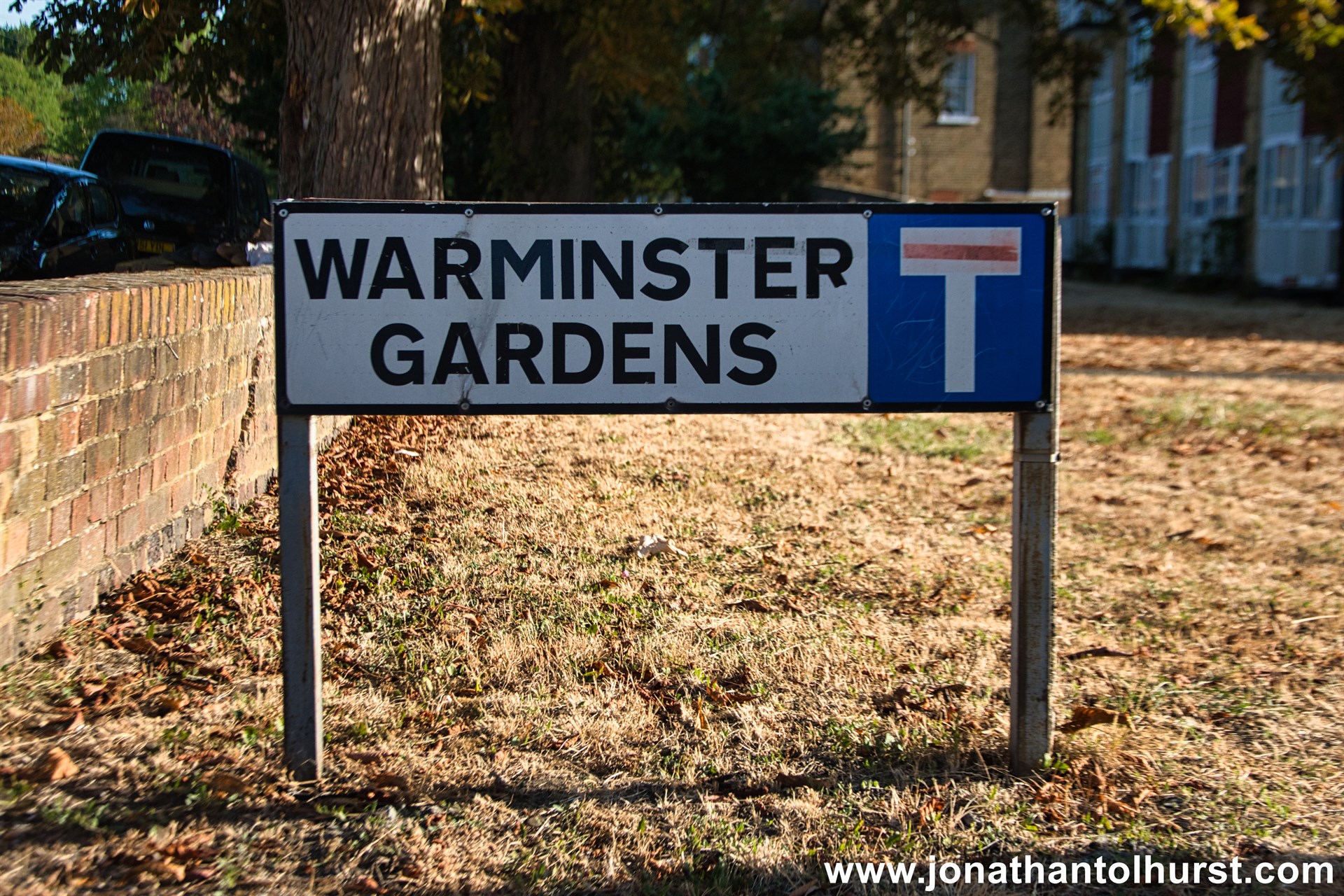
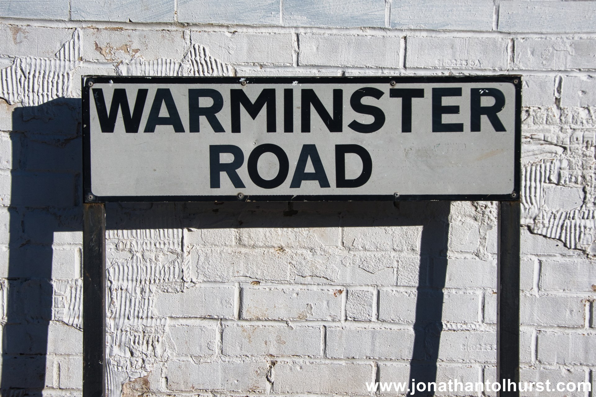
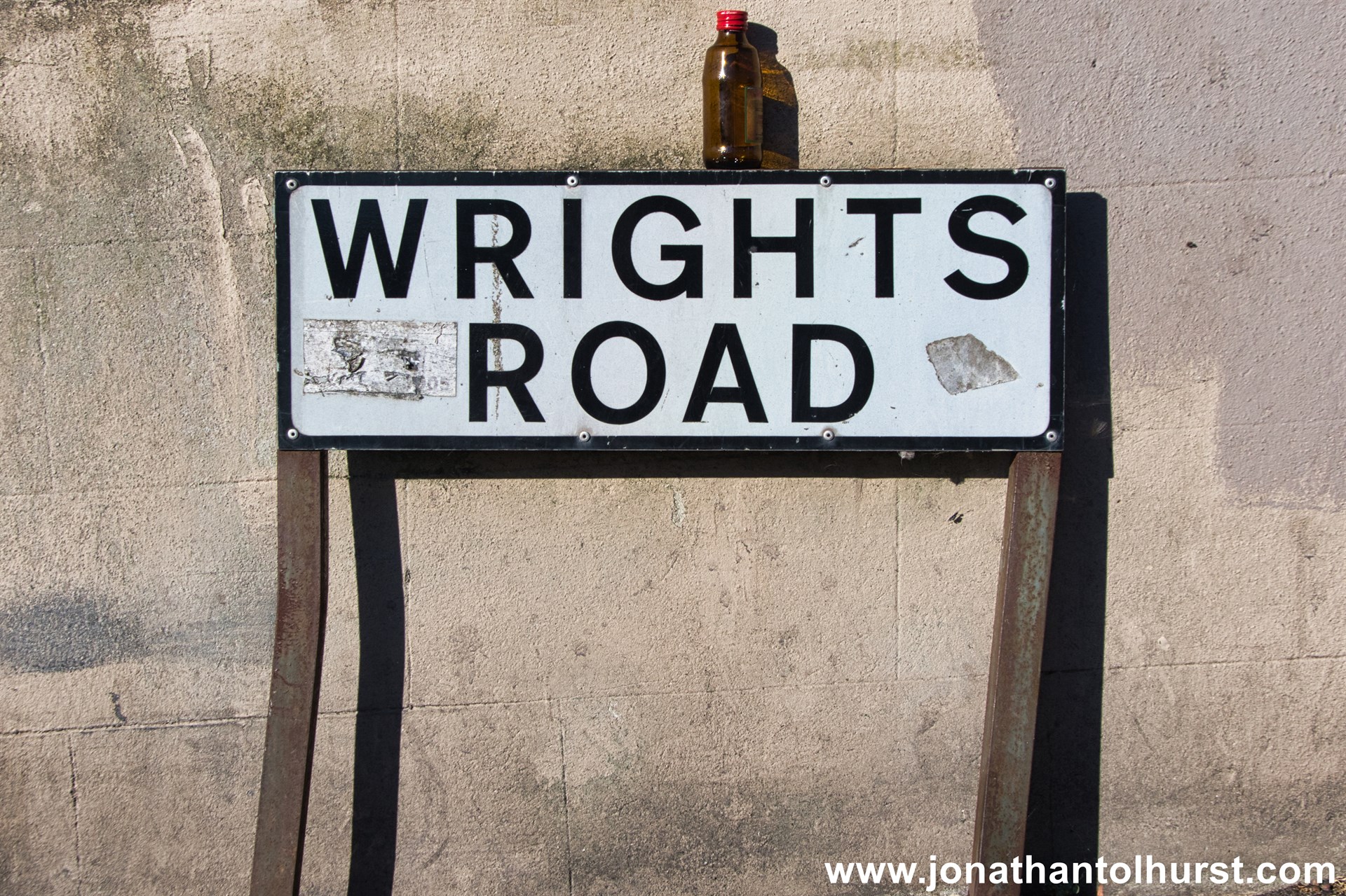
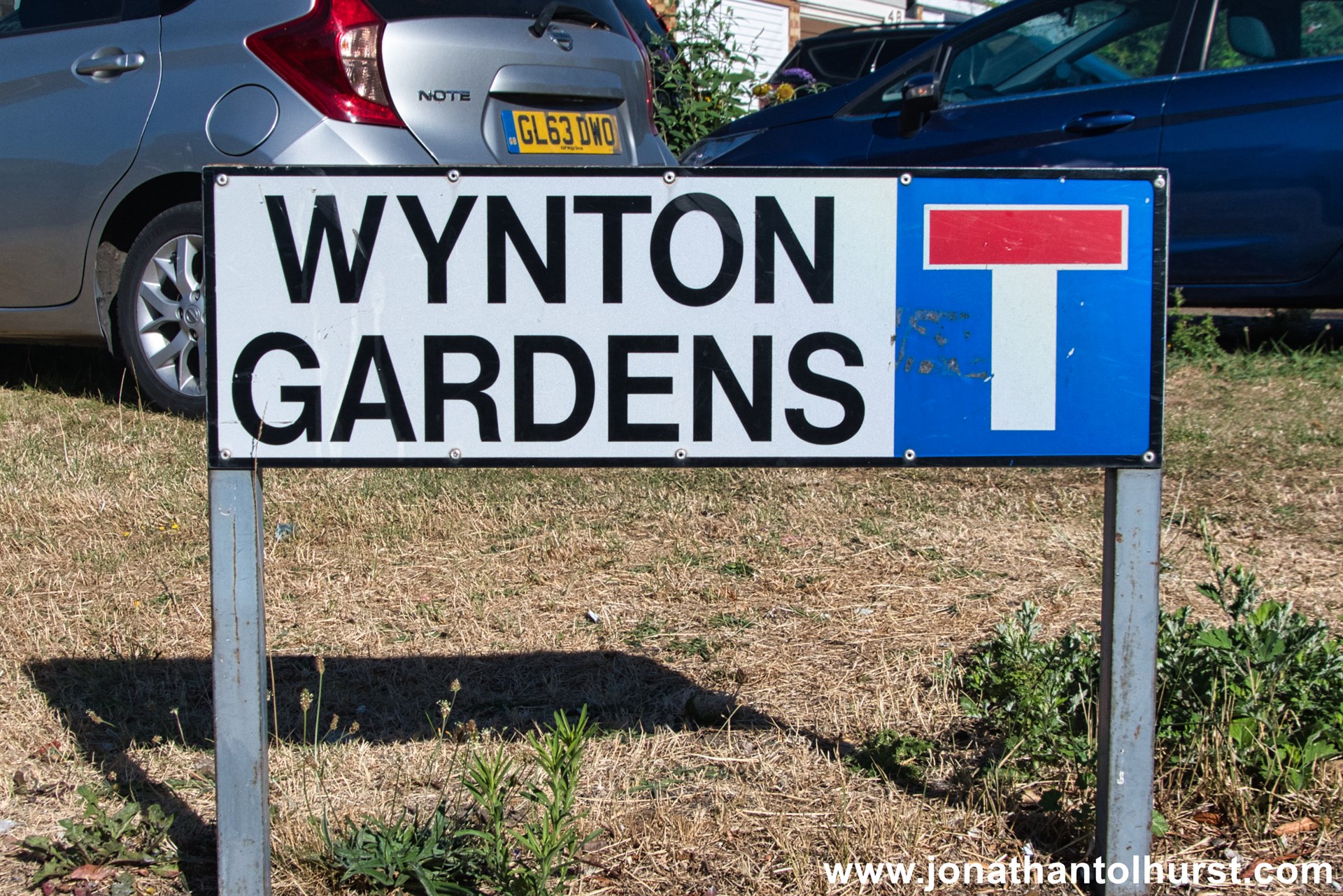
This page hosts a sample photograph of road signage from every road in Woodside (Croydon) Ward & South Norwood (Croydon) Ward..
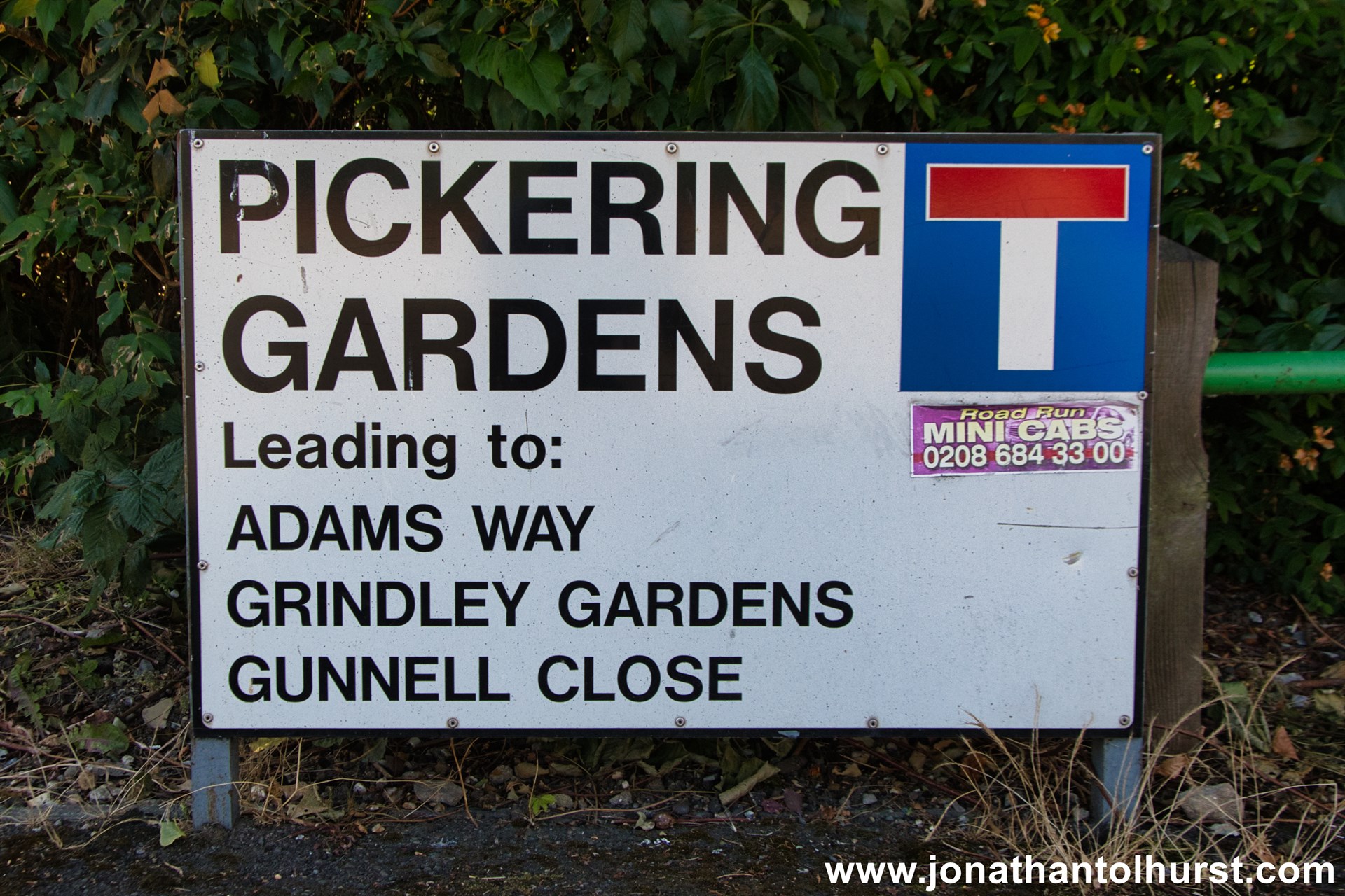
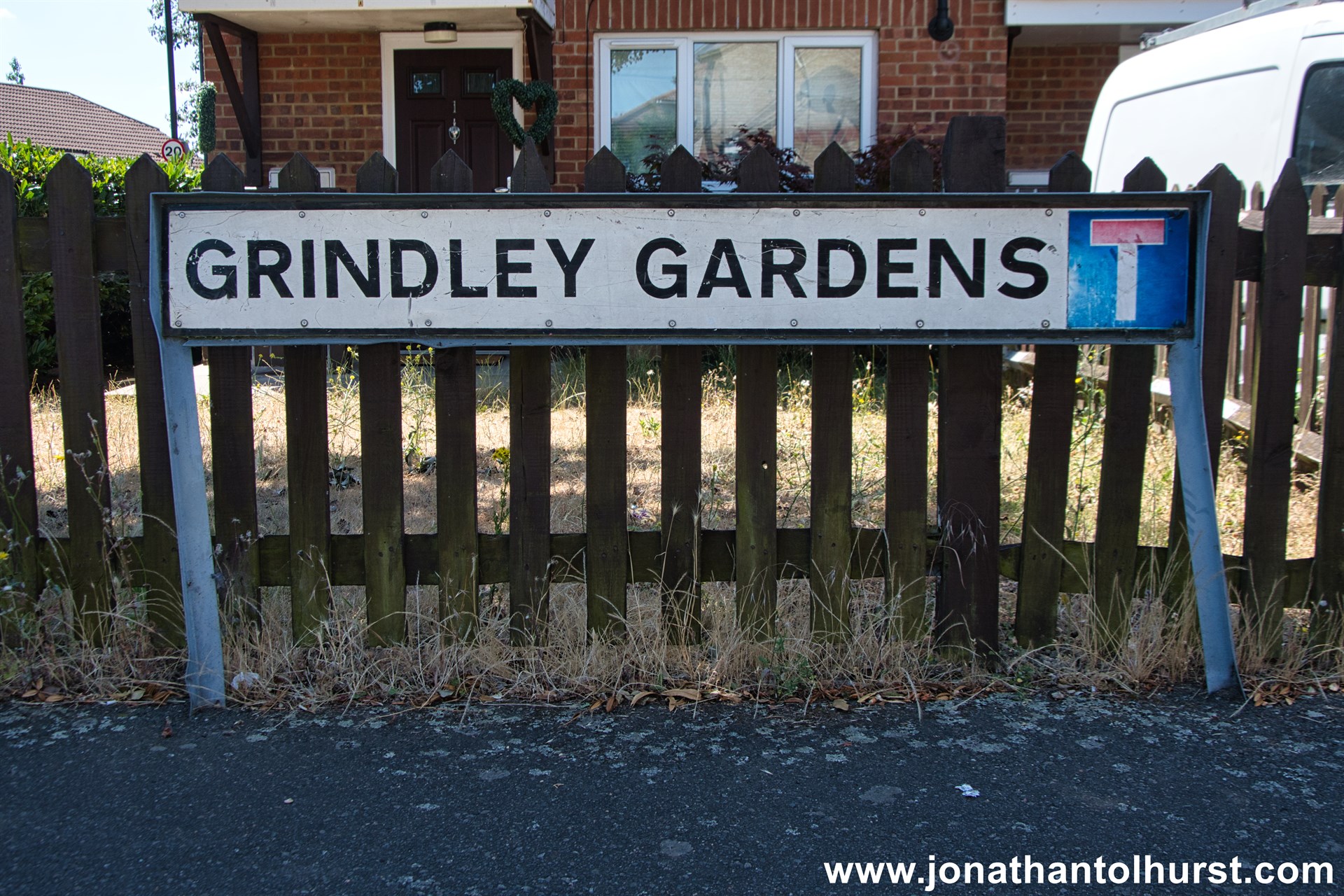
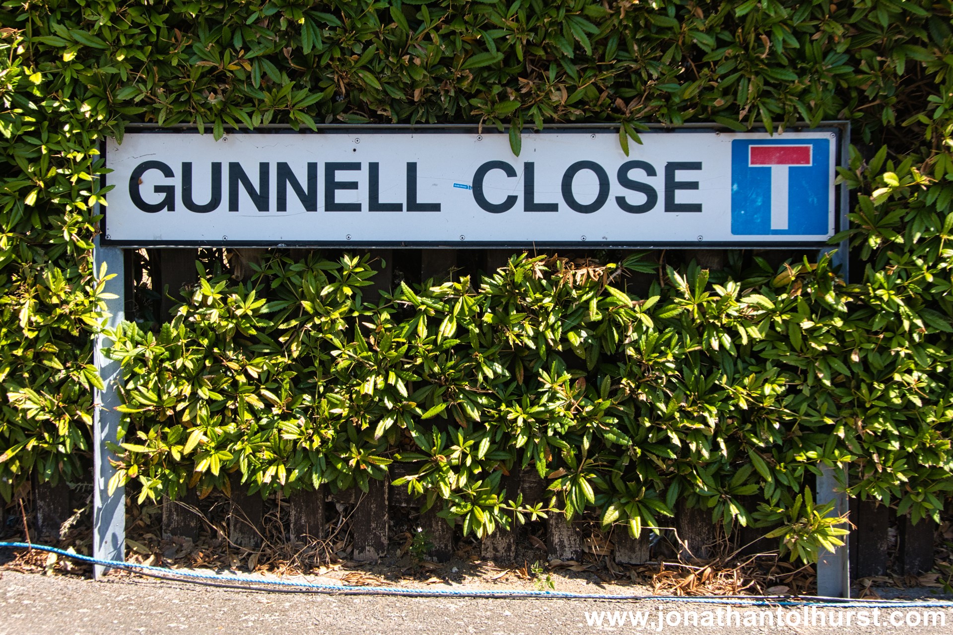
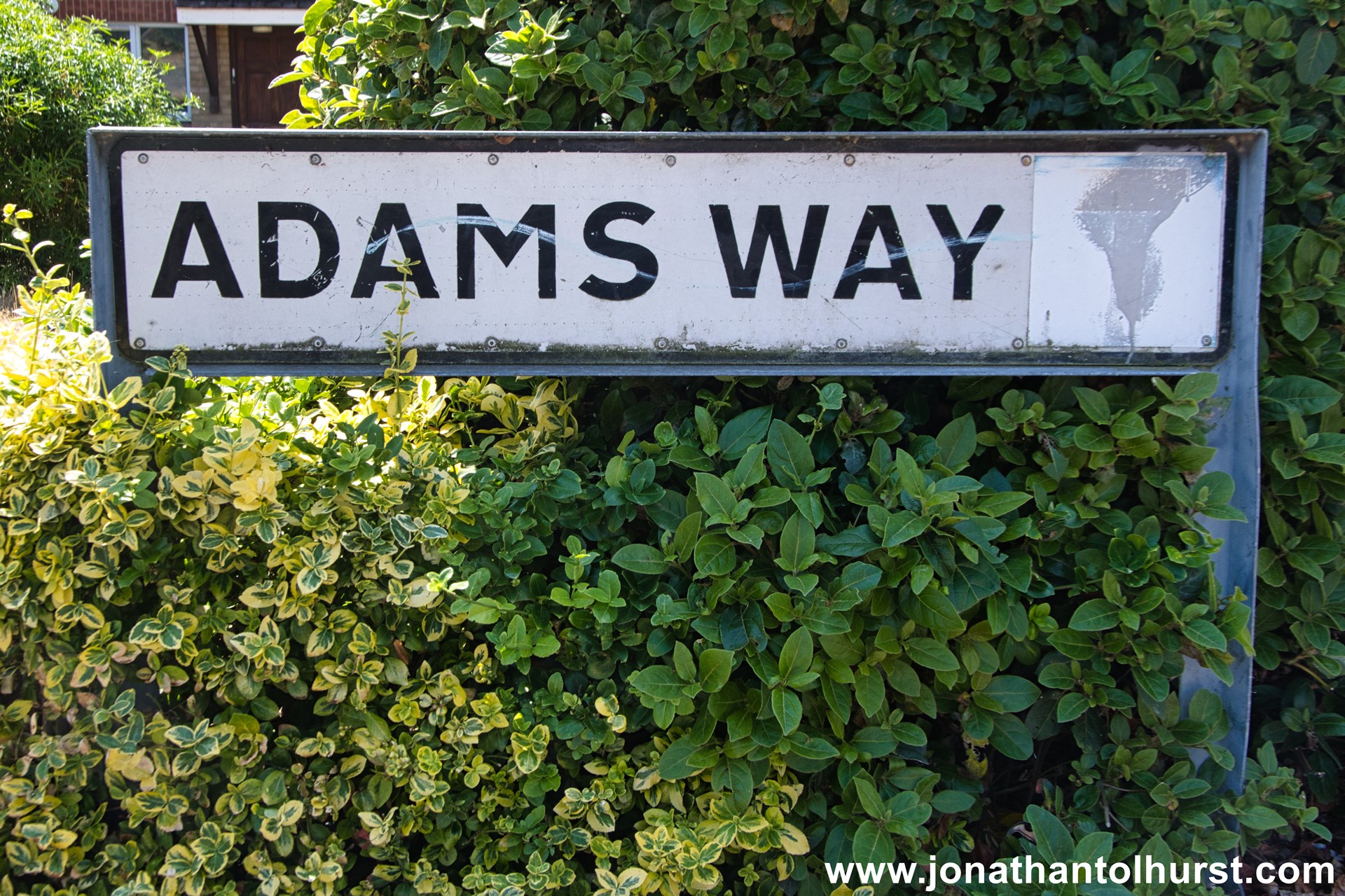
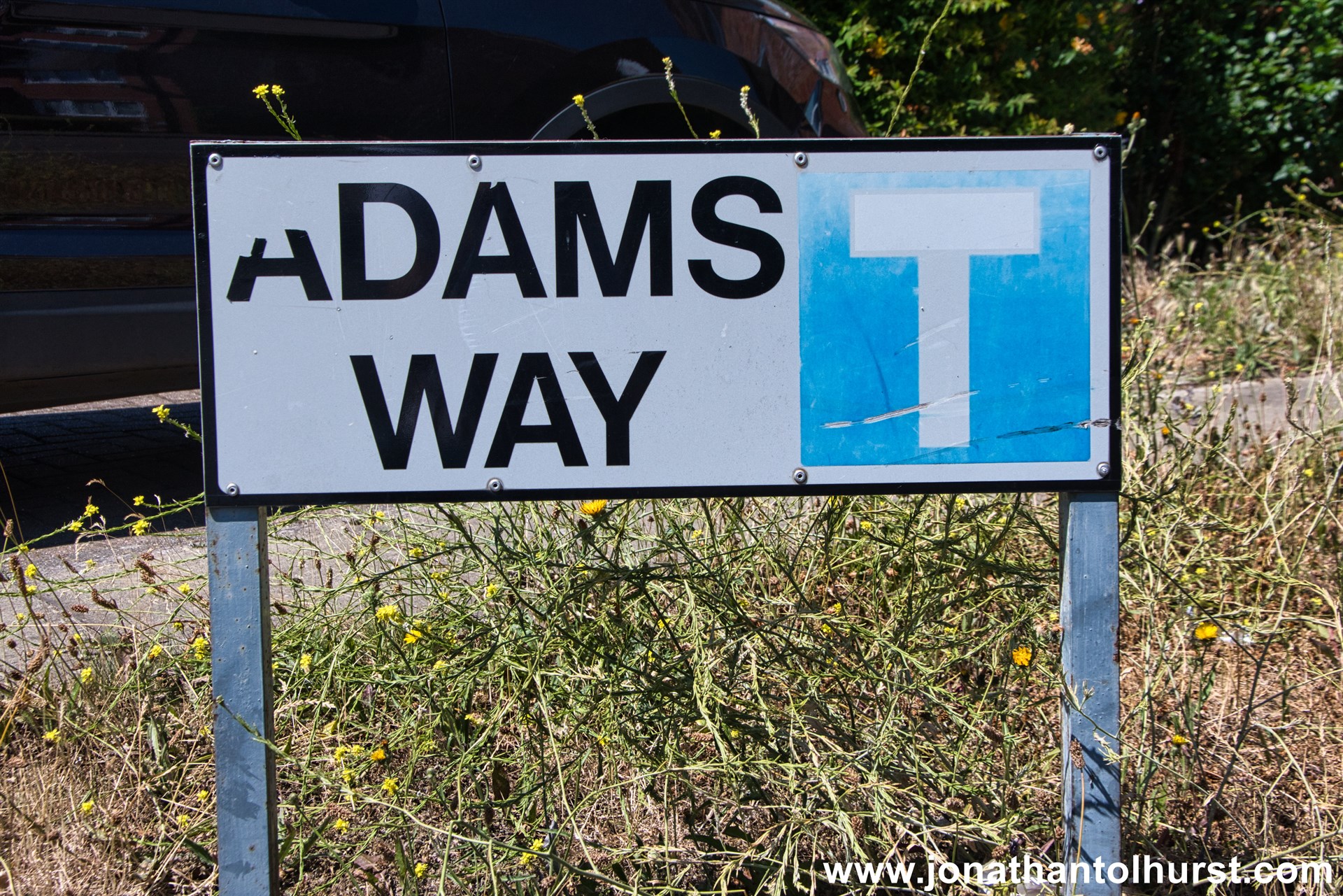
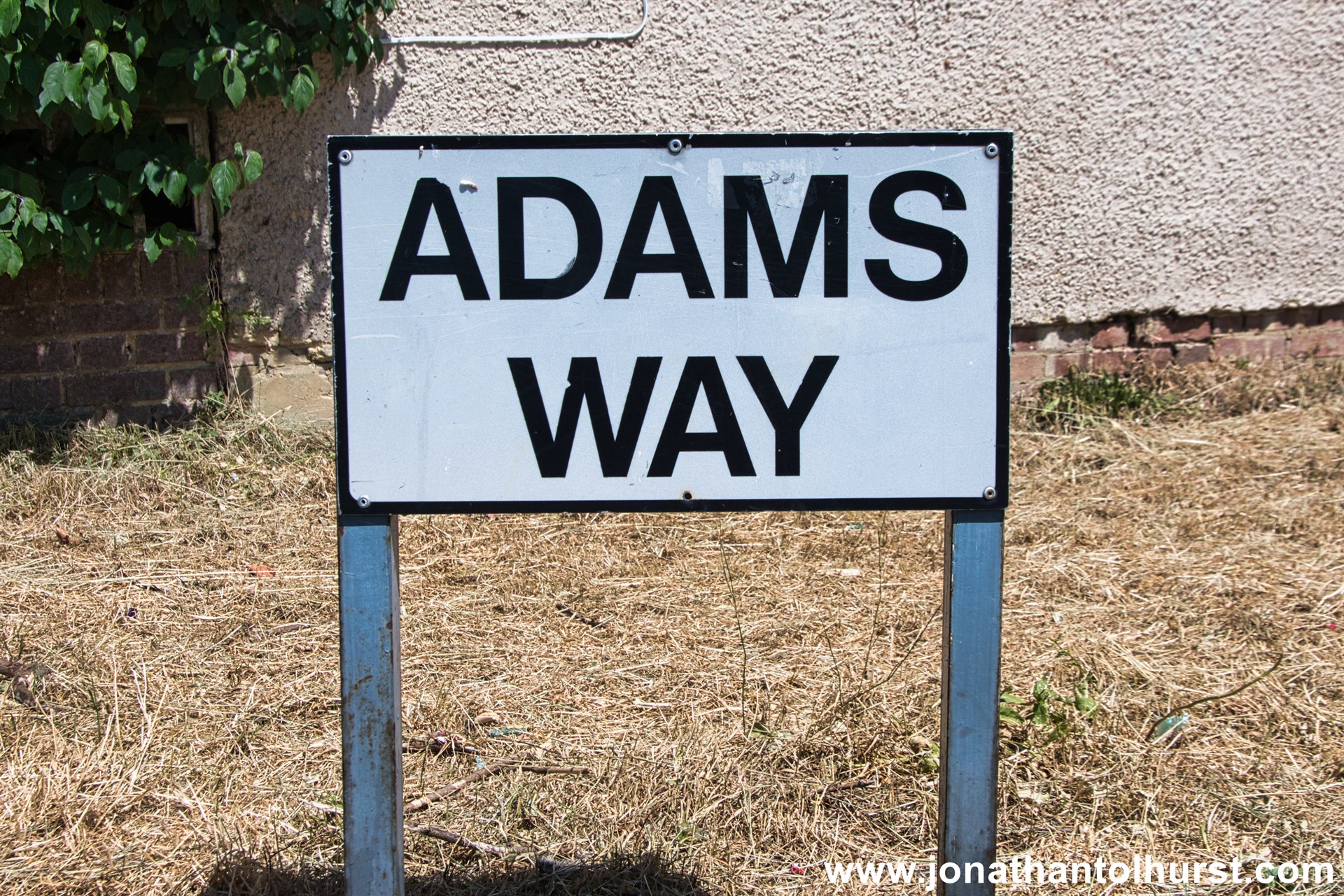
- Adams Way
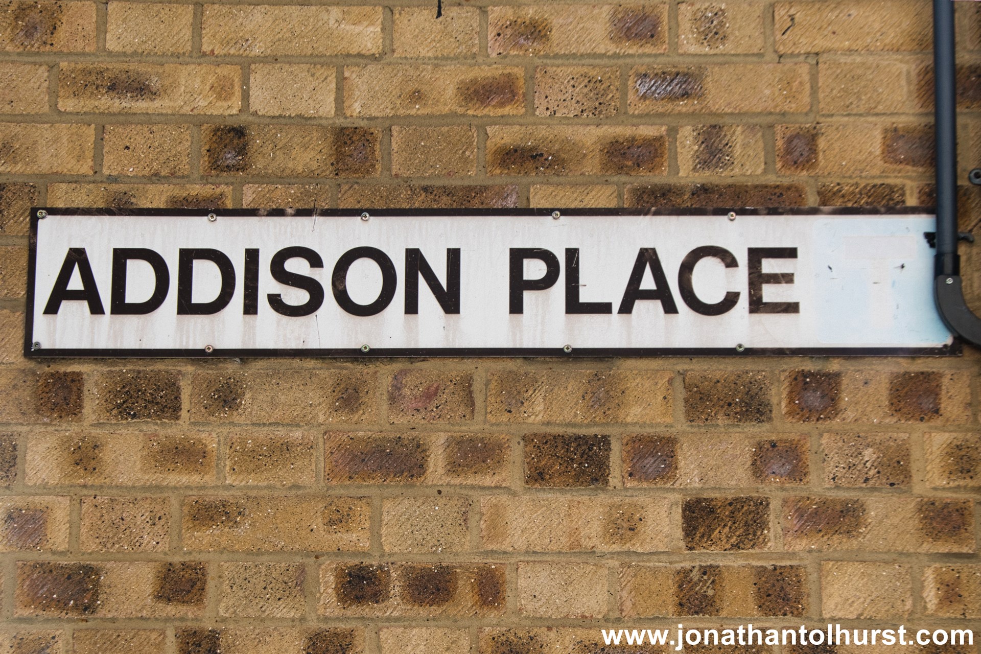
- Addison Place
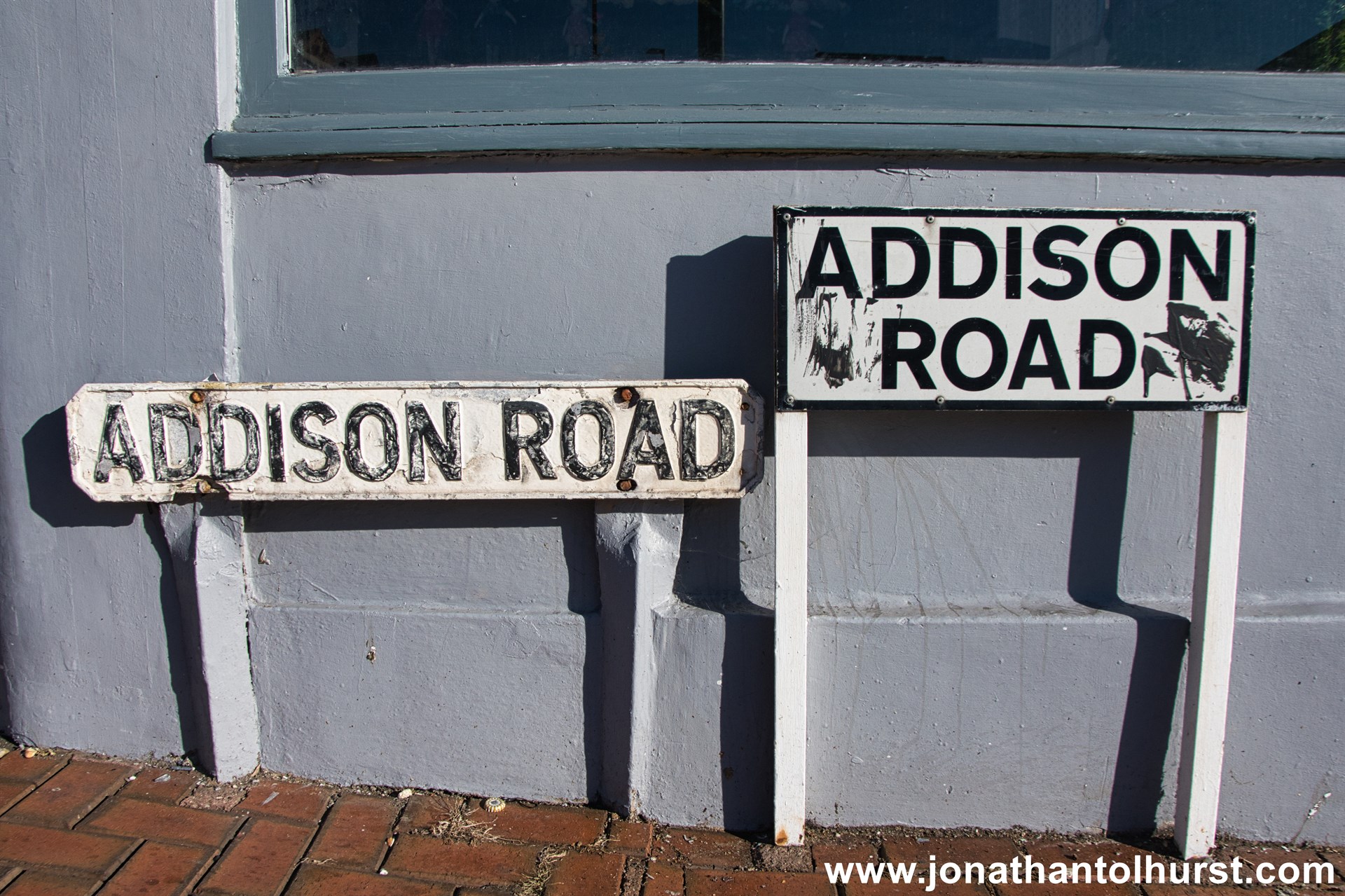
- Addison Road
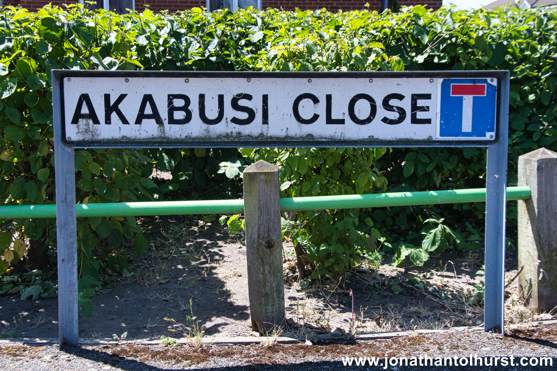
- Akabusi Close
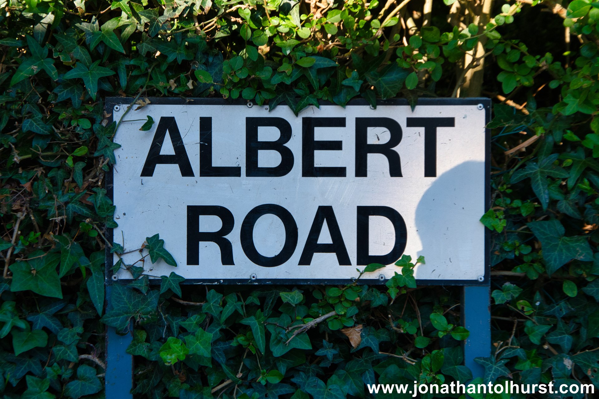
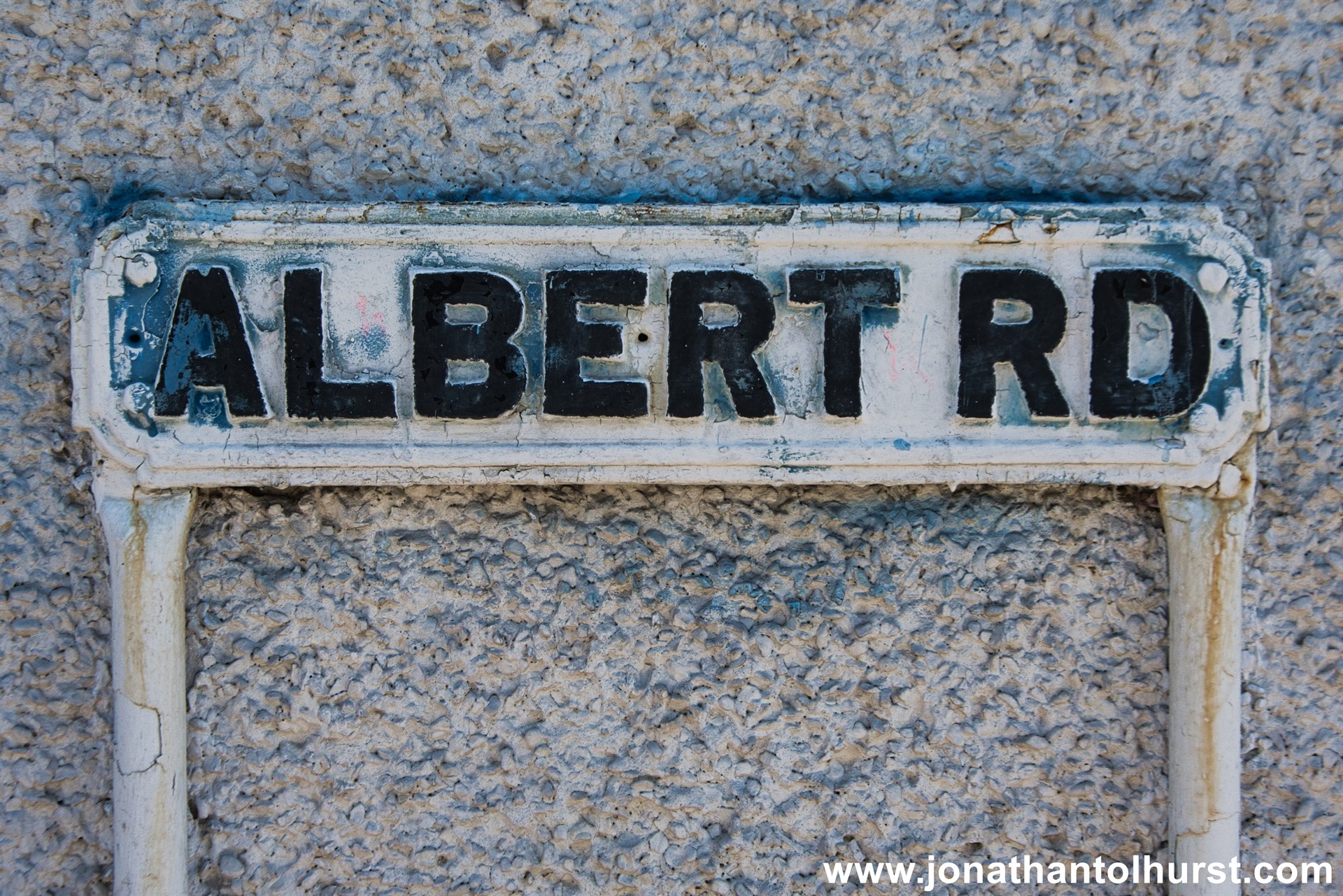
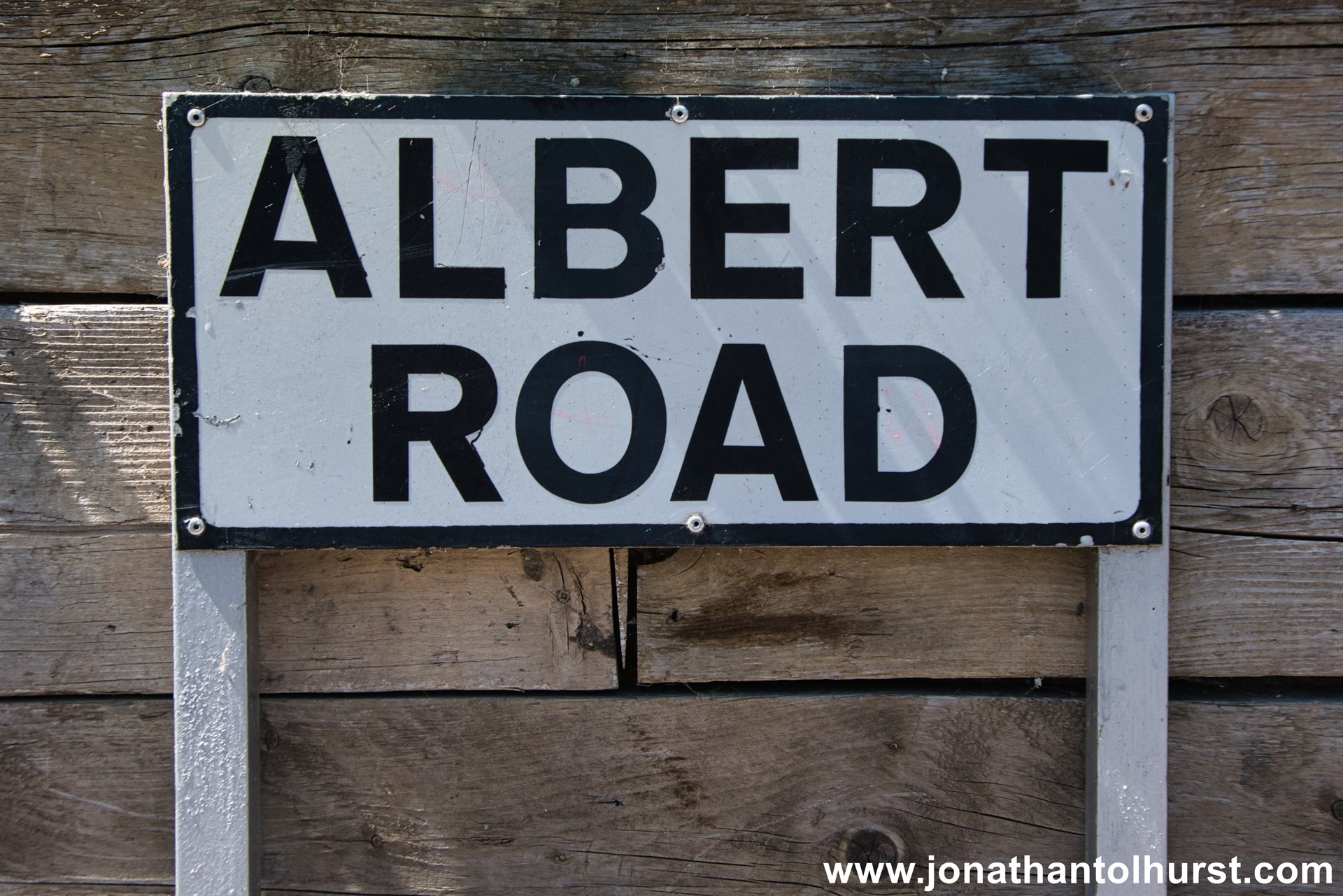
- Albert Road
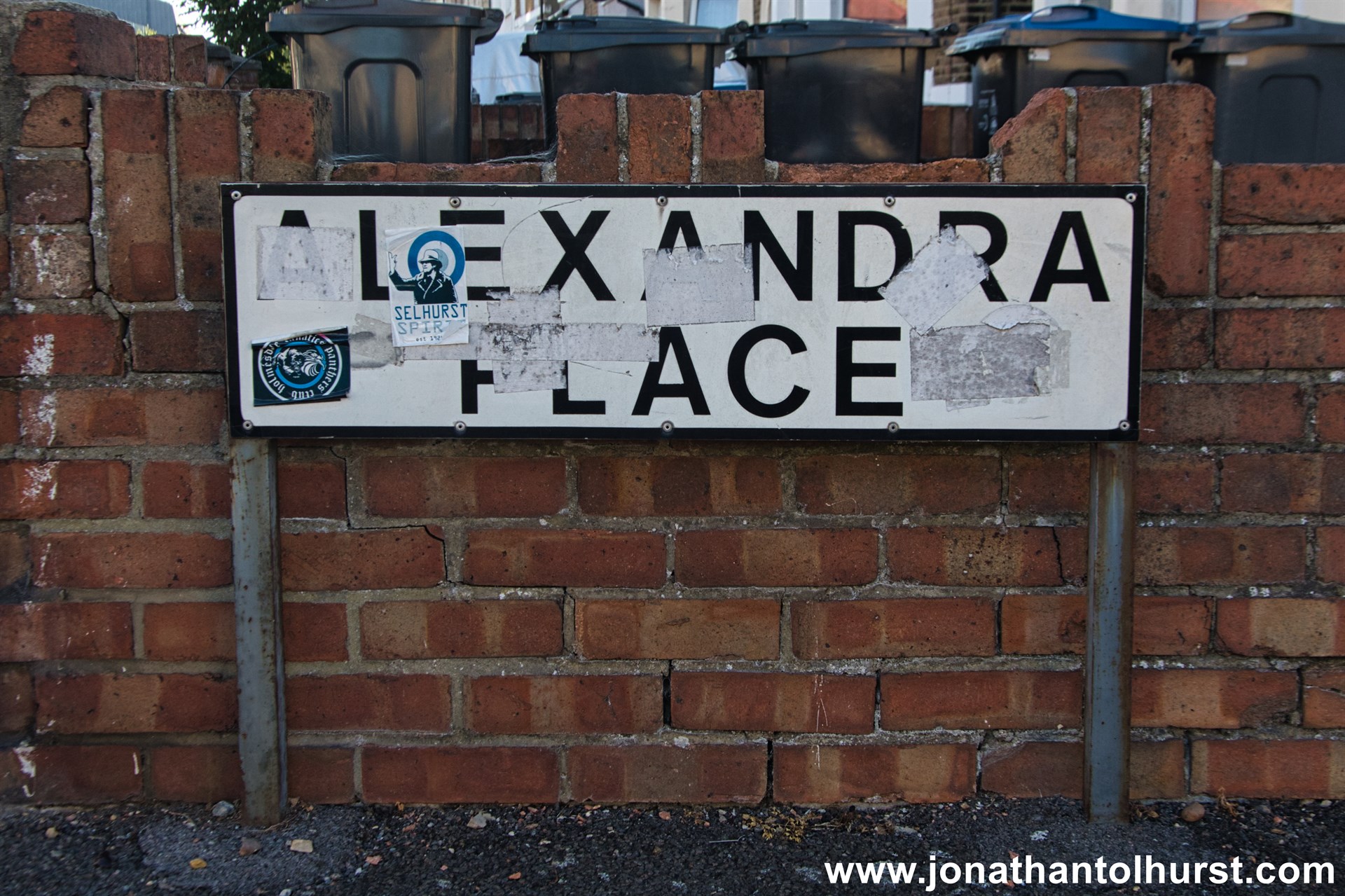
- Alexandra Place
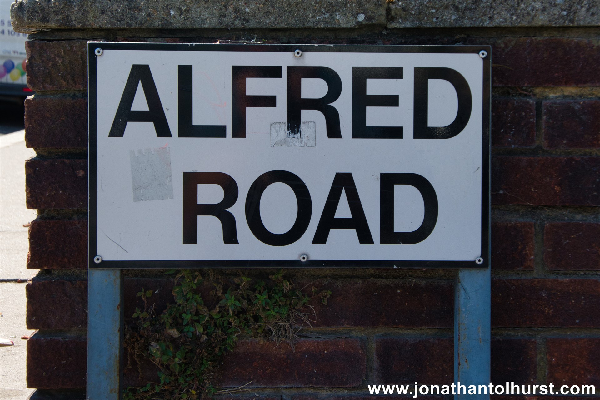
- Alfred Road
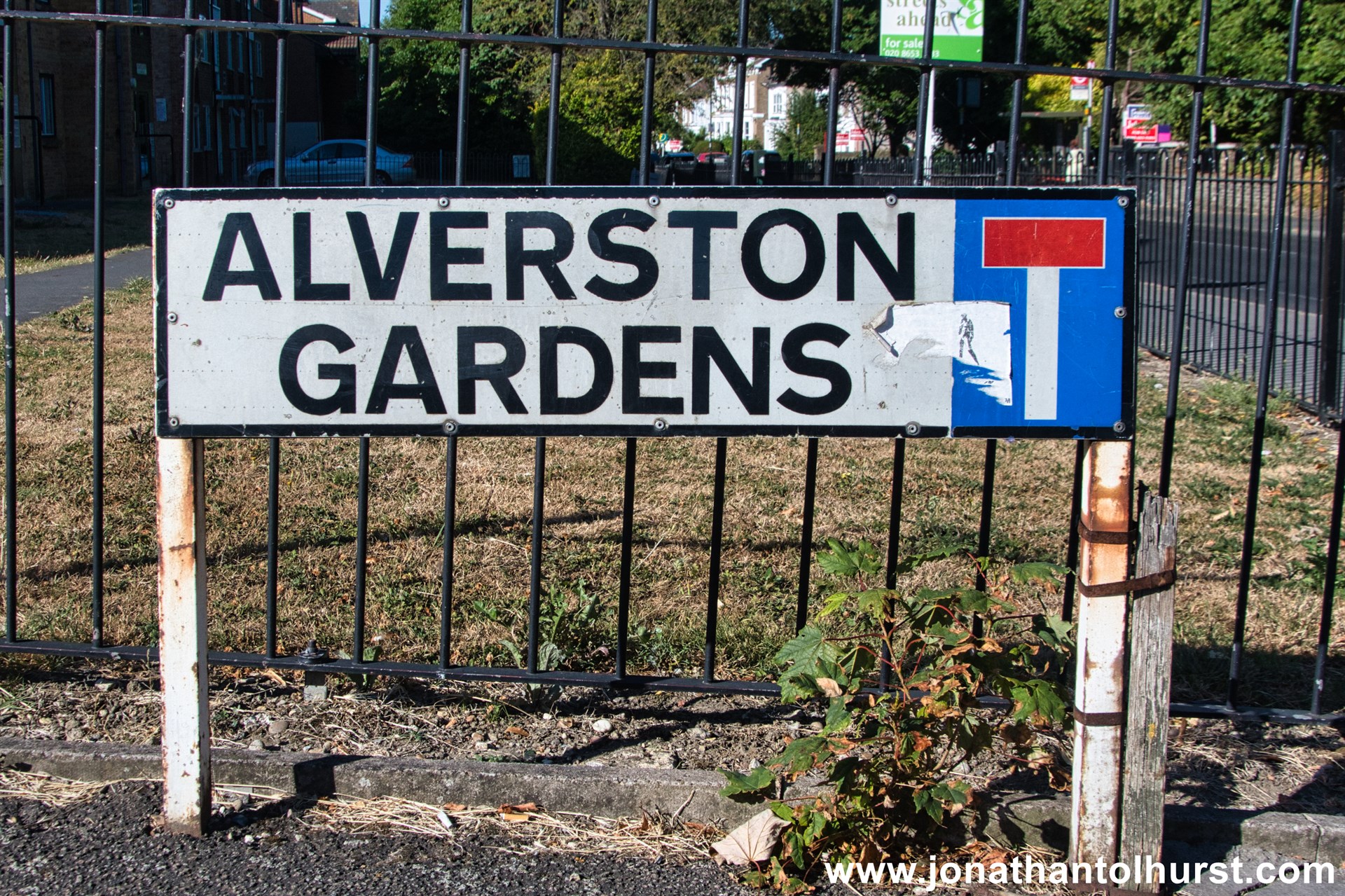
- Alverston Gardens
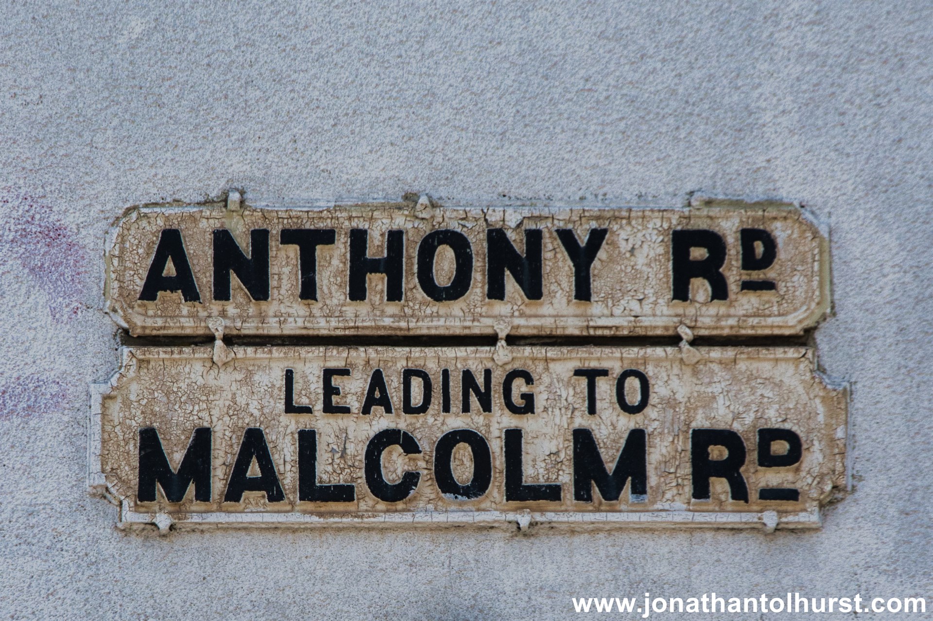
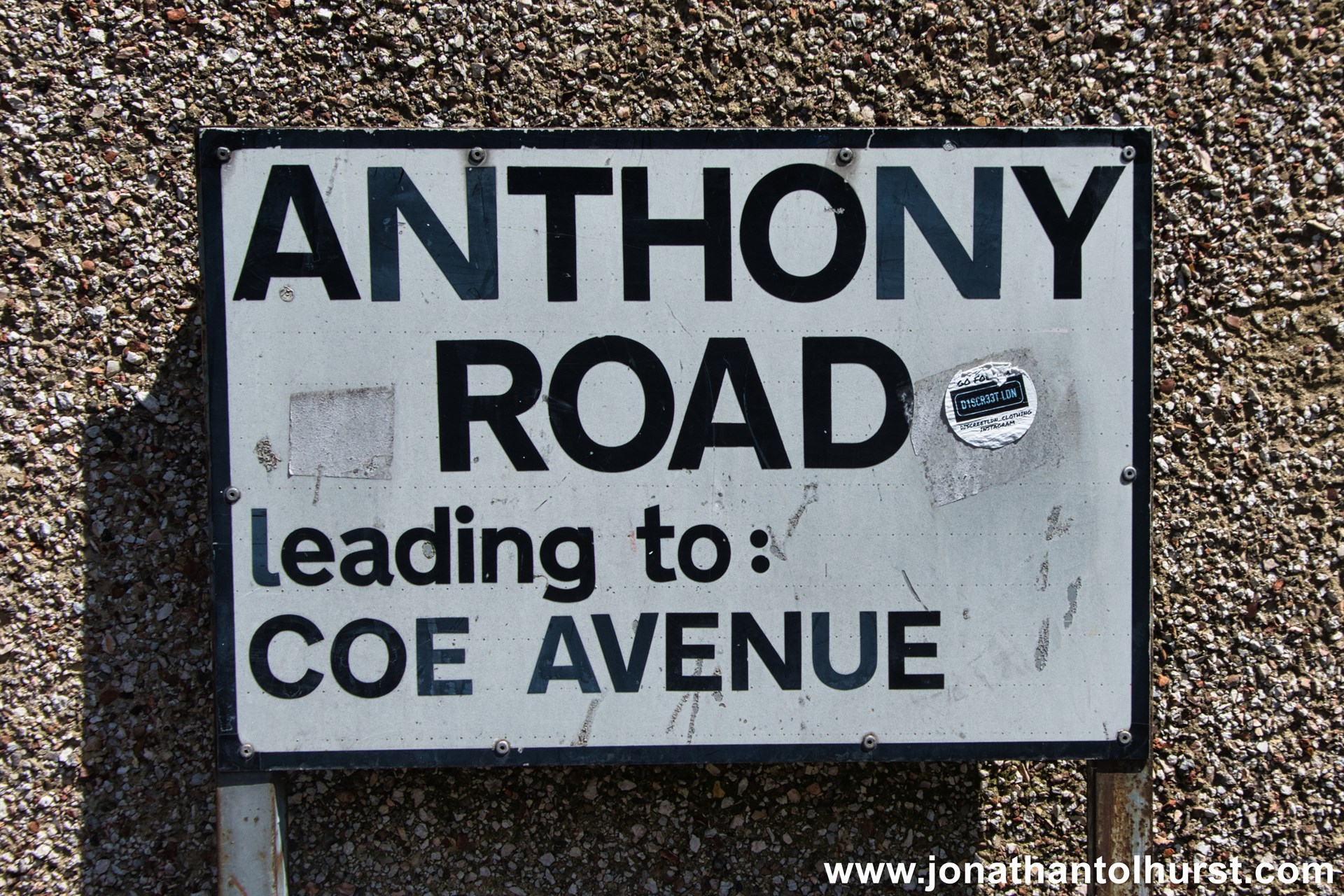
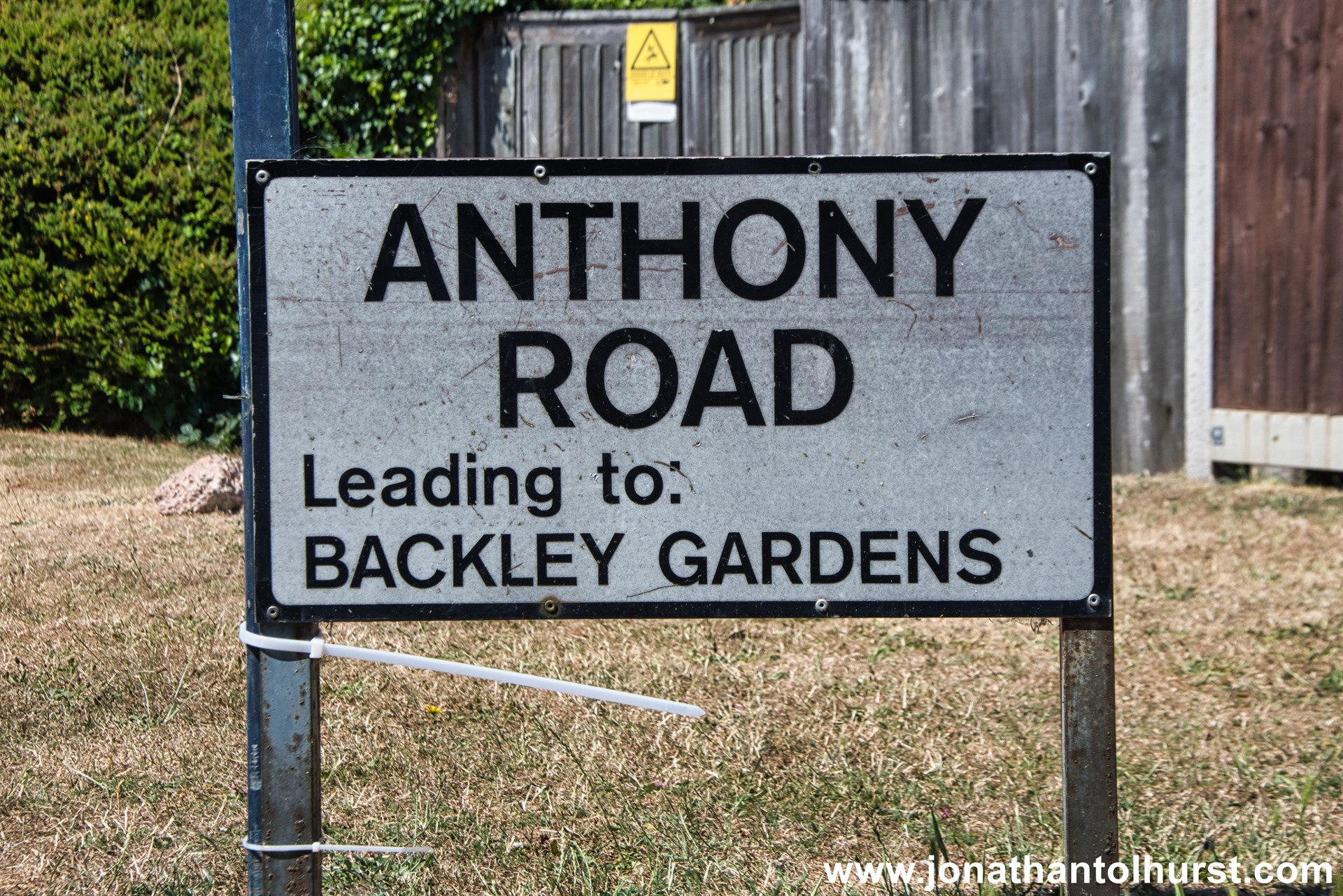
- Anthony Road
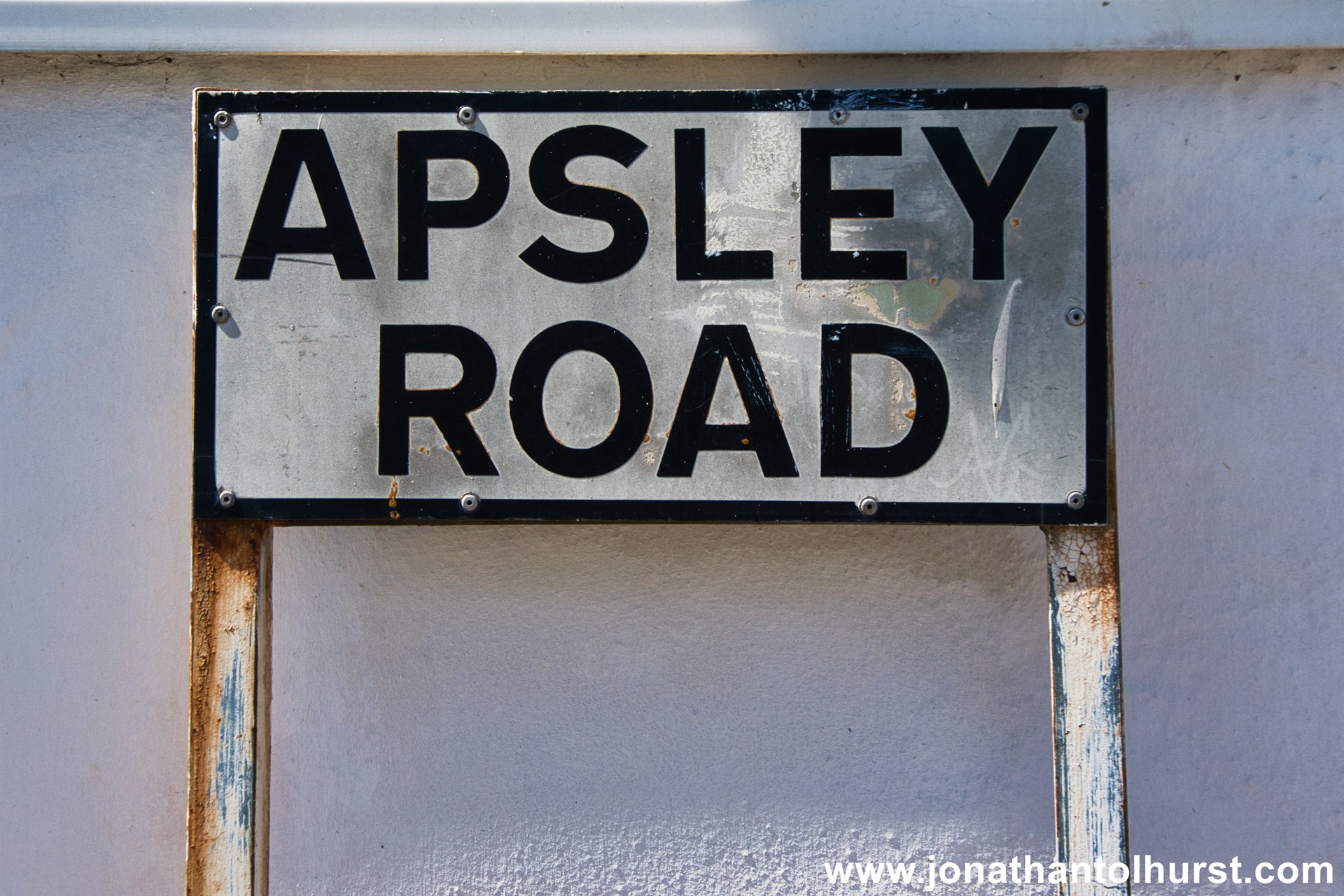
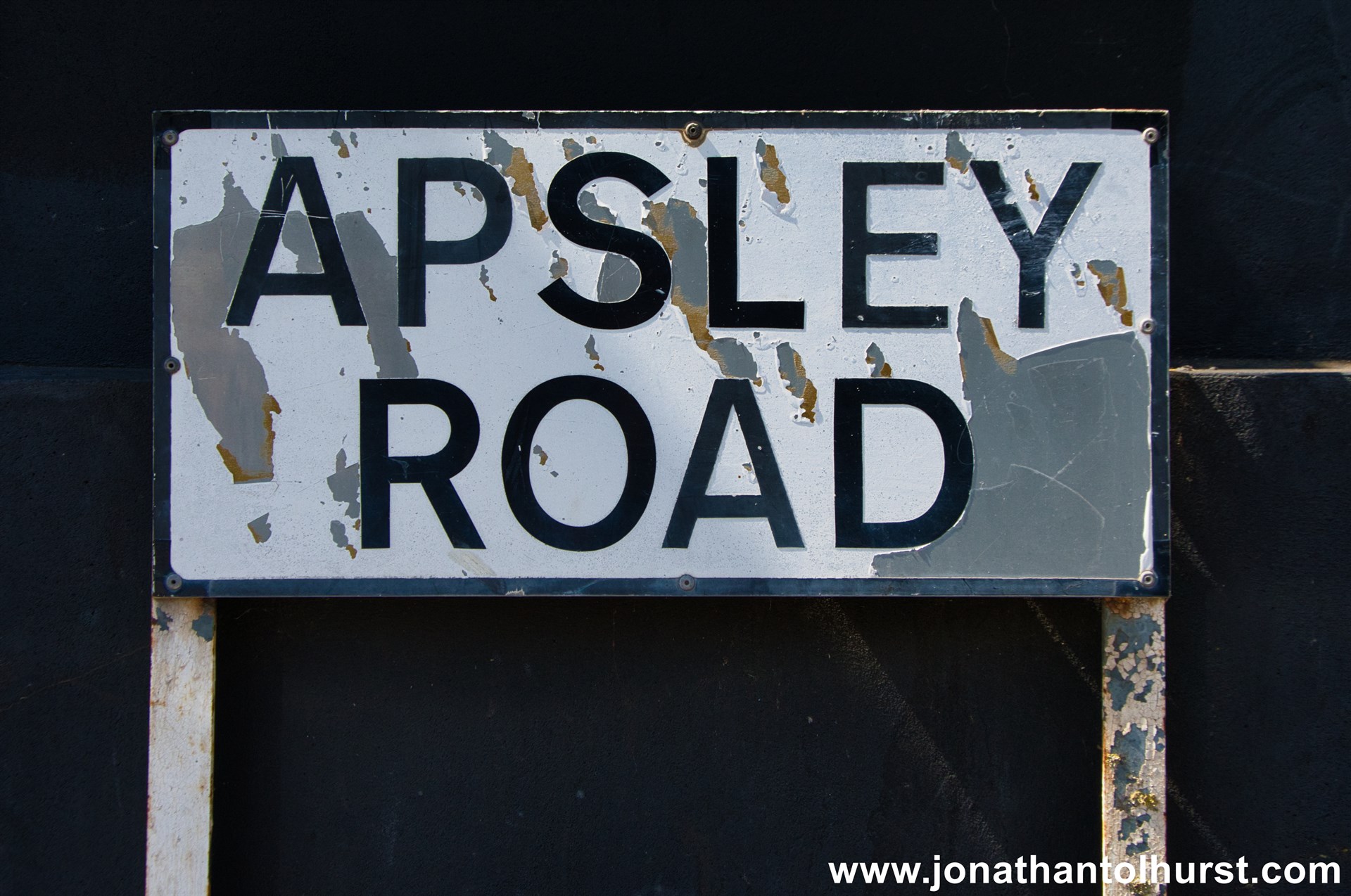
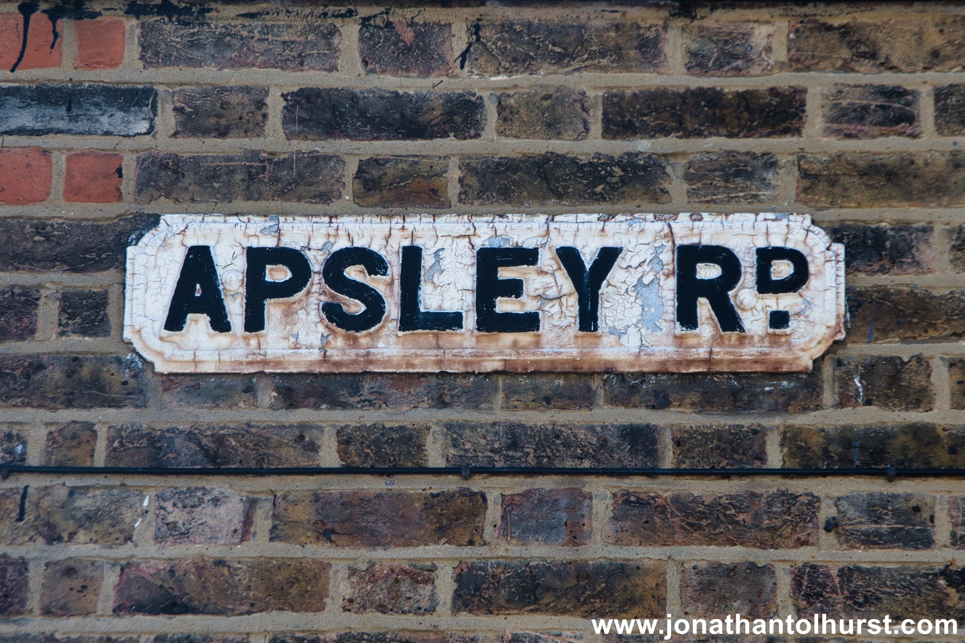
- Apsley Road
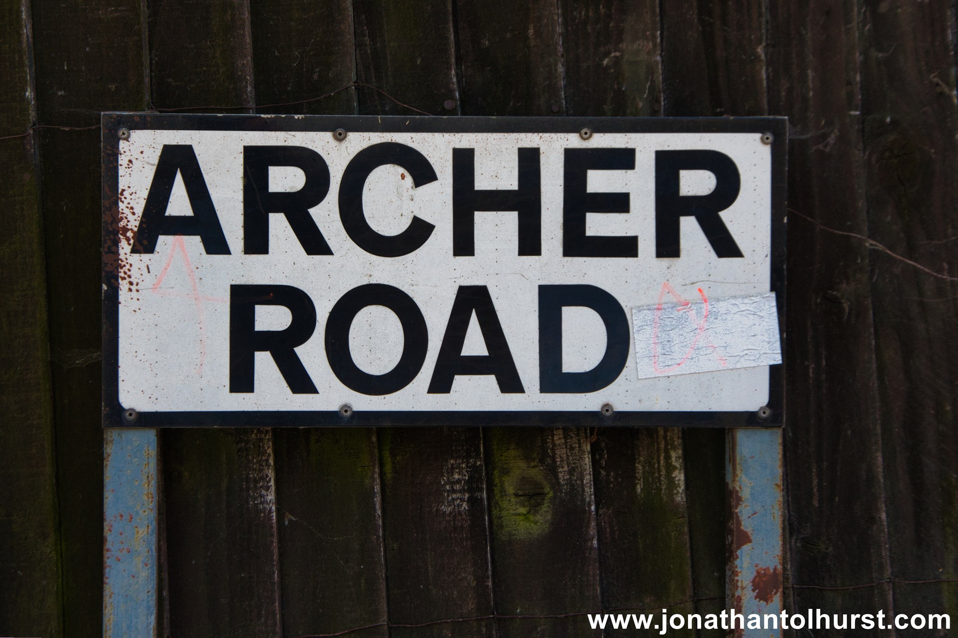
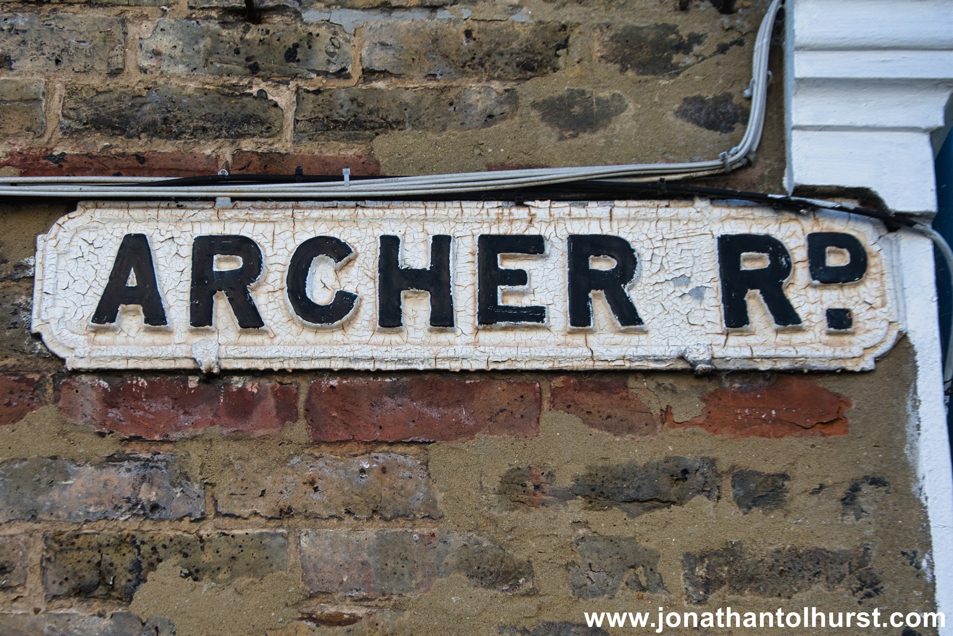
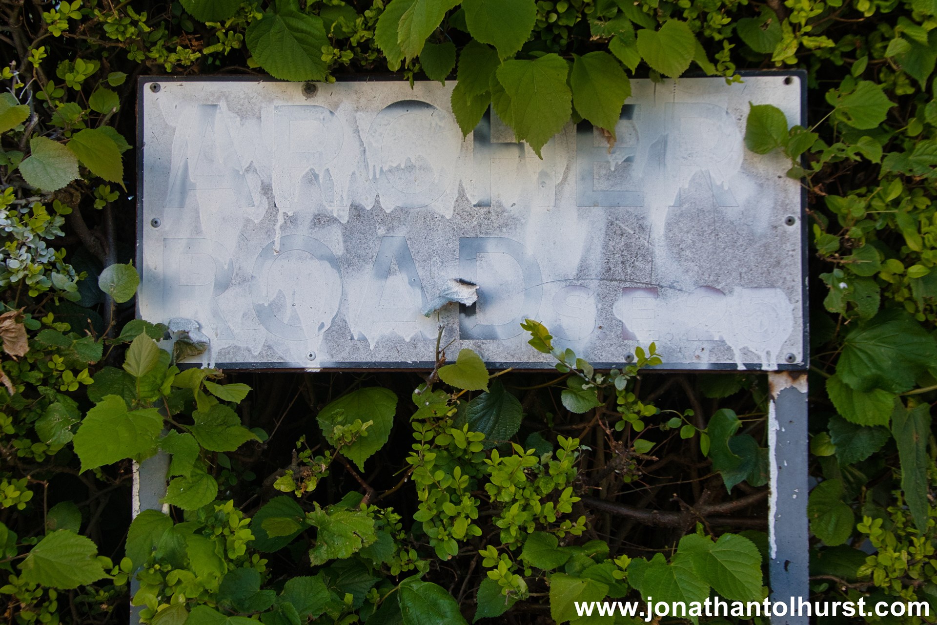
- Archer Road
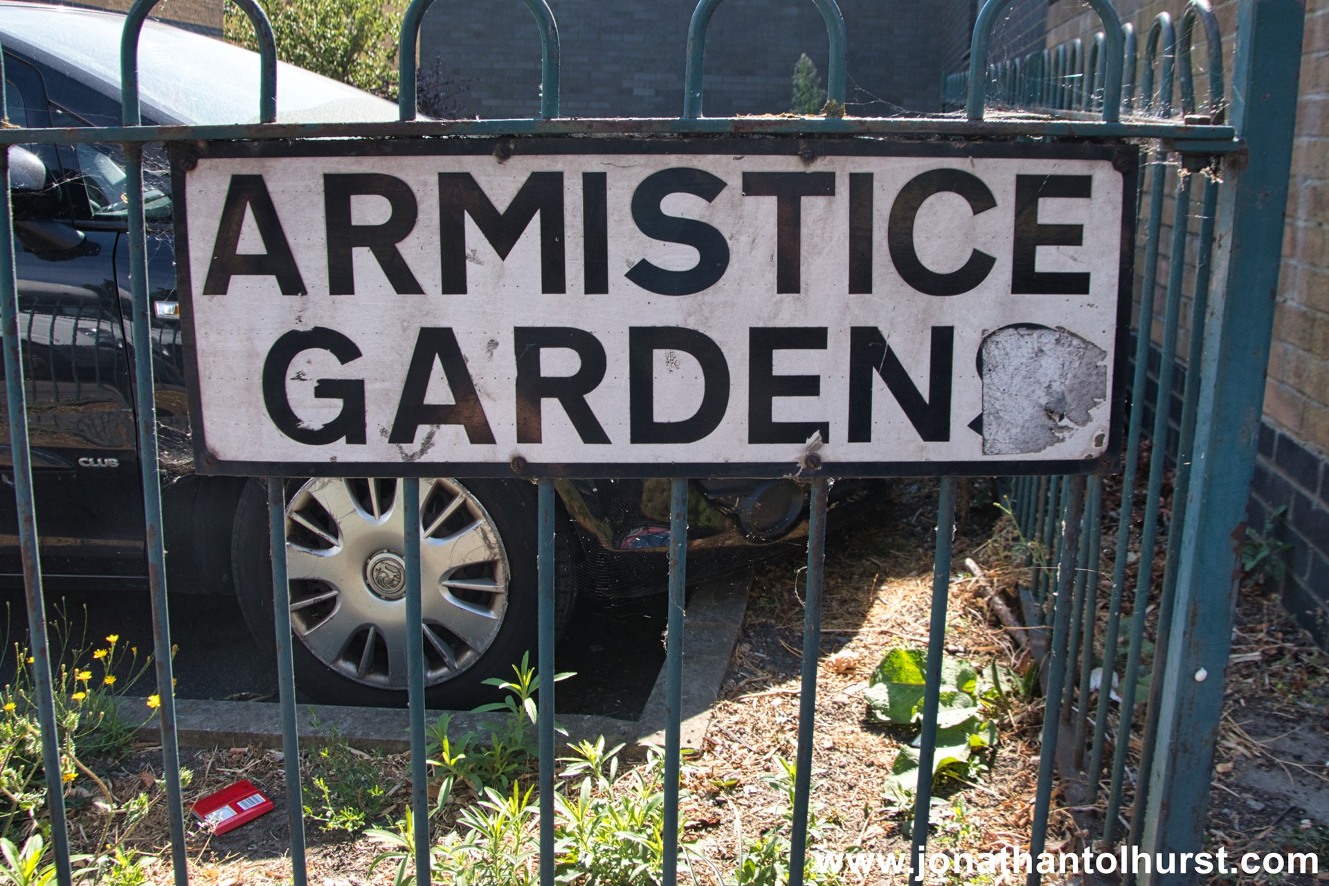
- Armistice Gardens
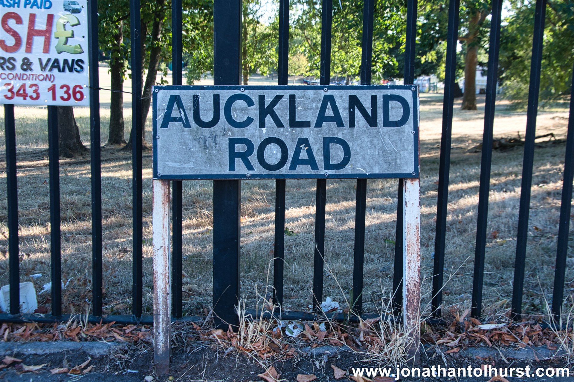
- Auckland Road
- Avenue Gardens
- Avenue Road
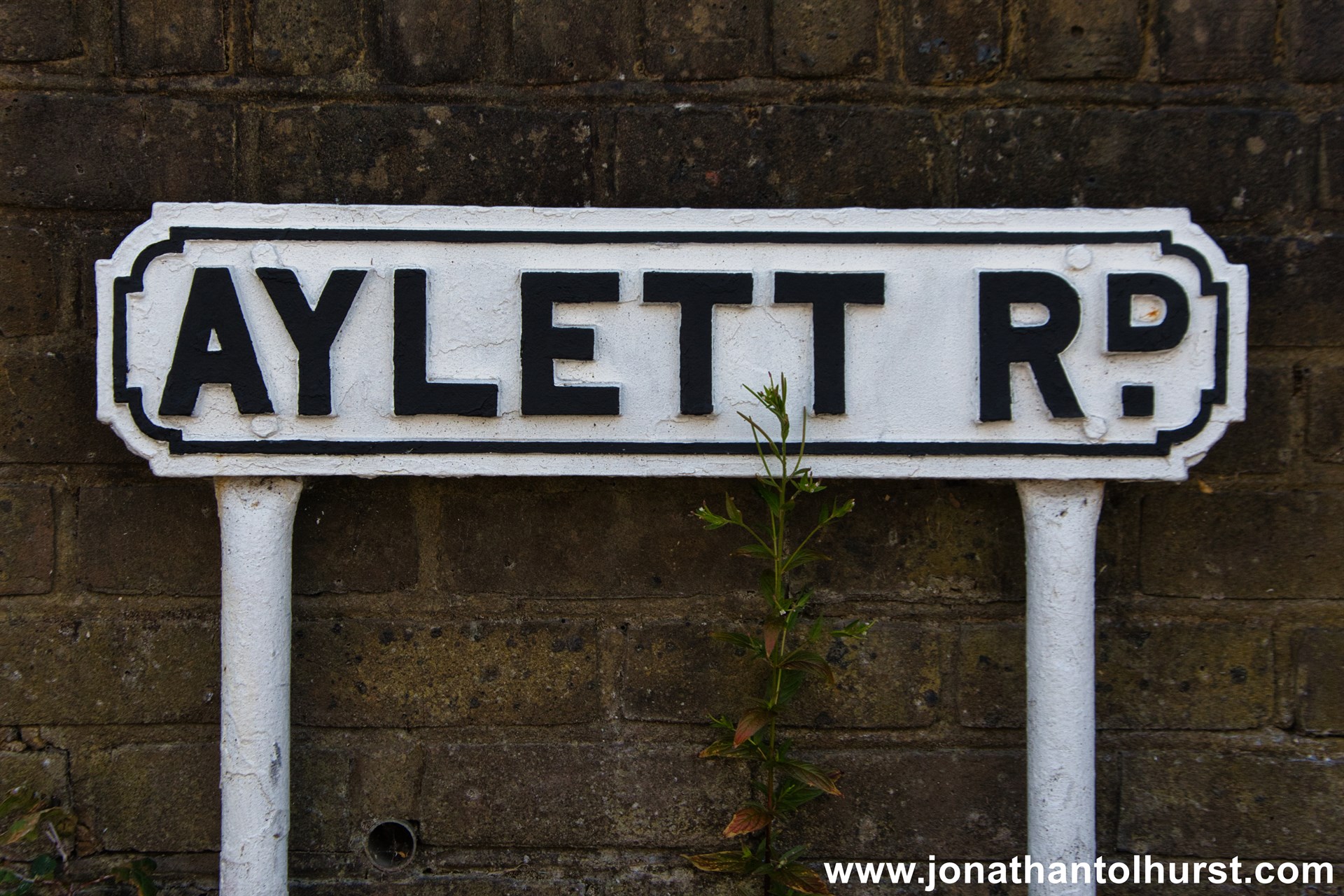
- Aylett Road
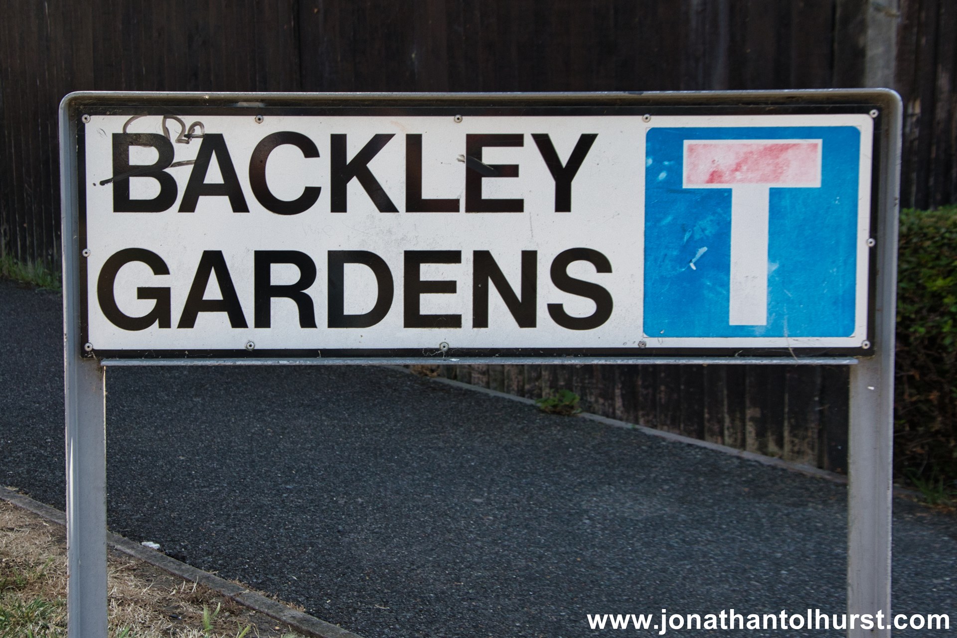
- Backley Gardens
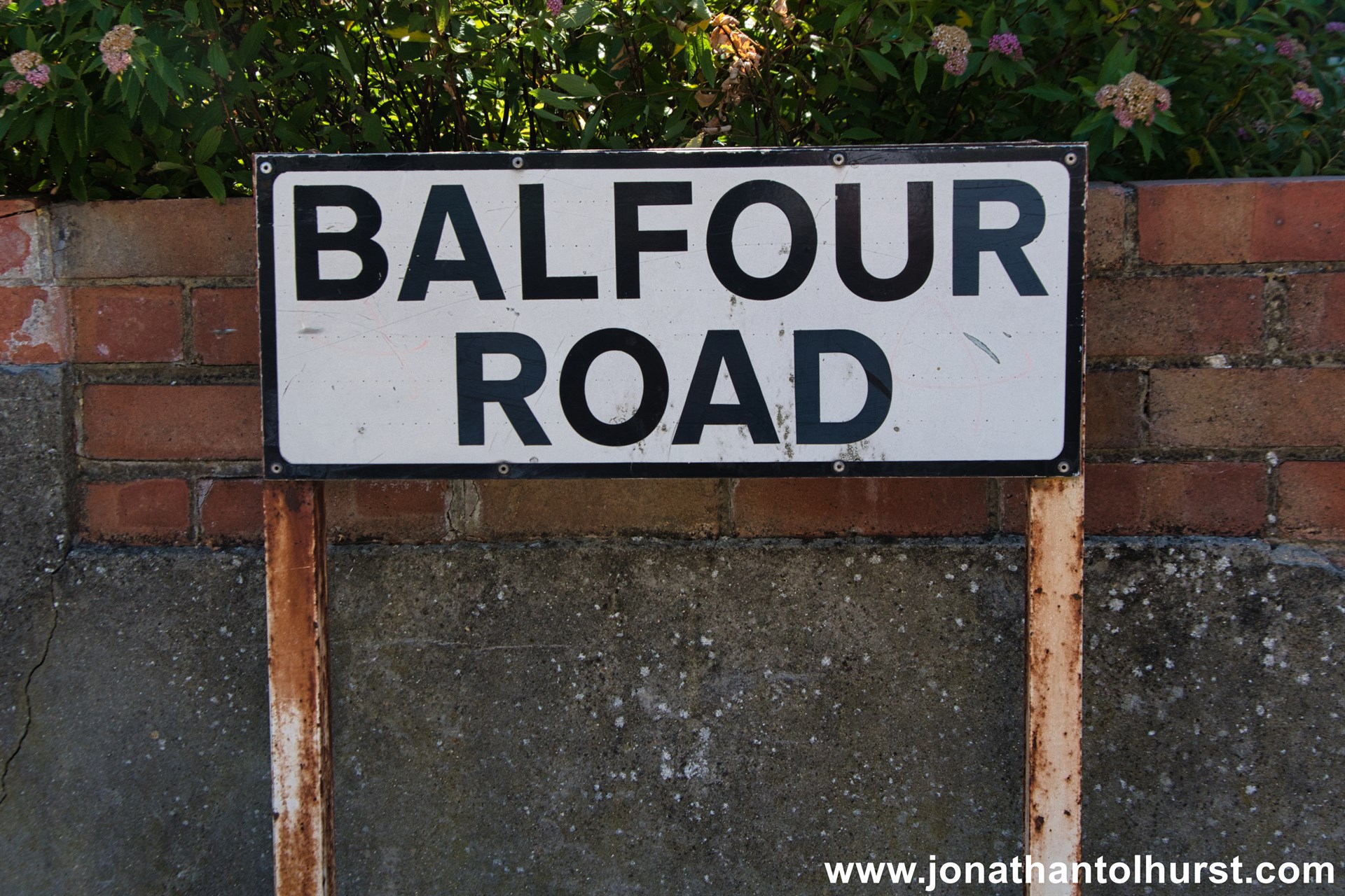
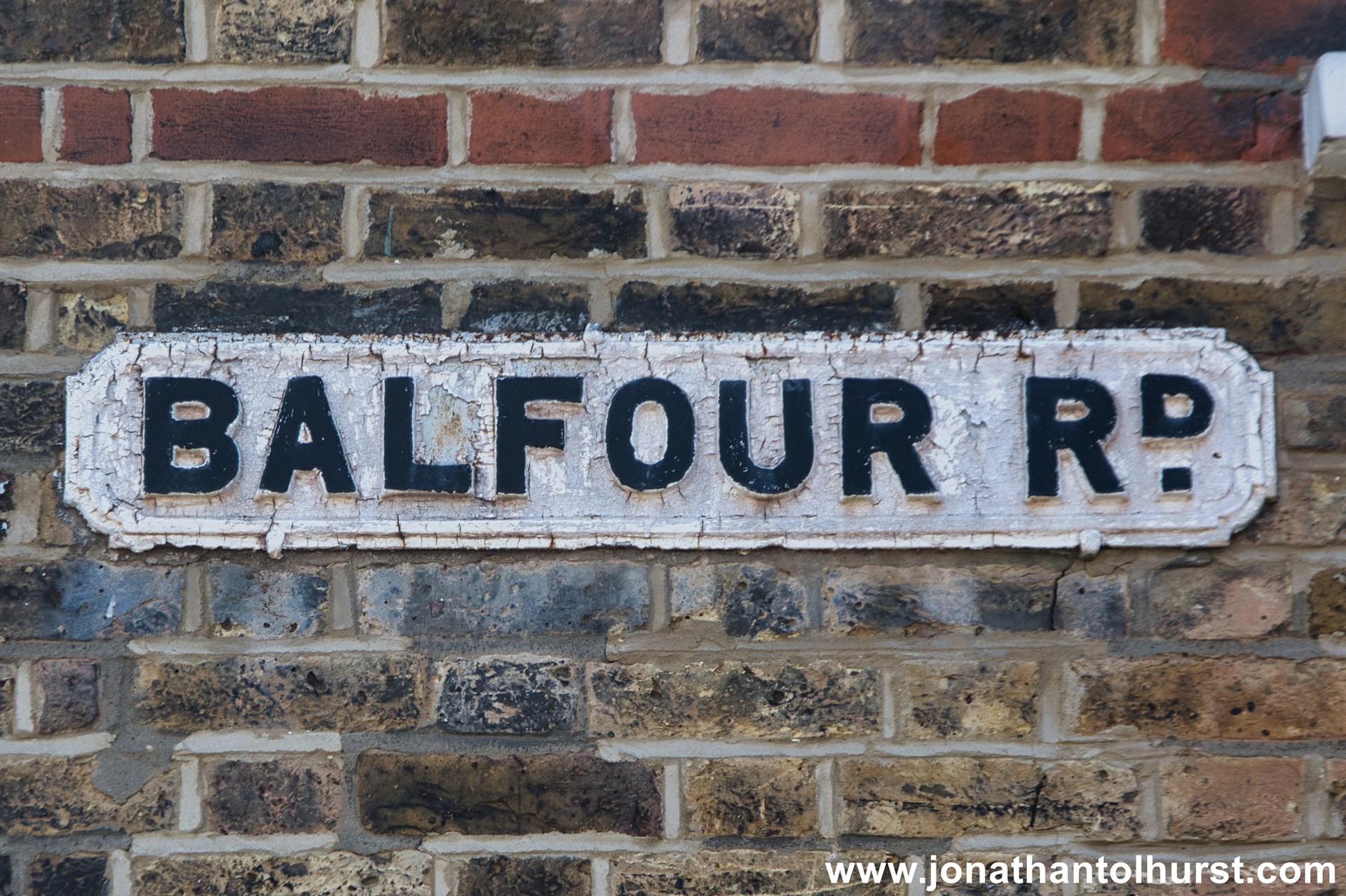
- Balfour Road
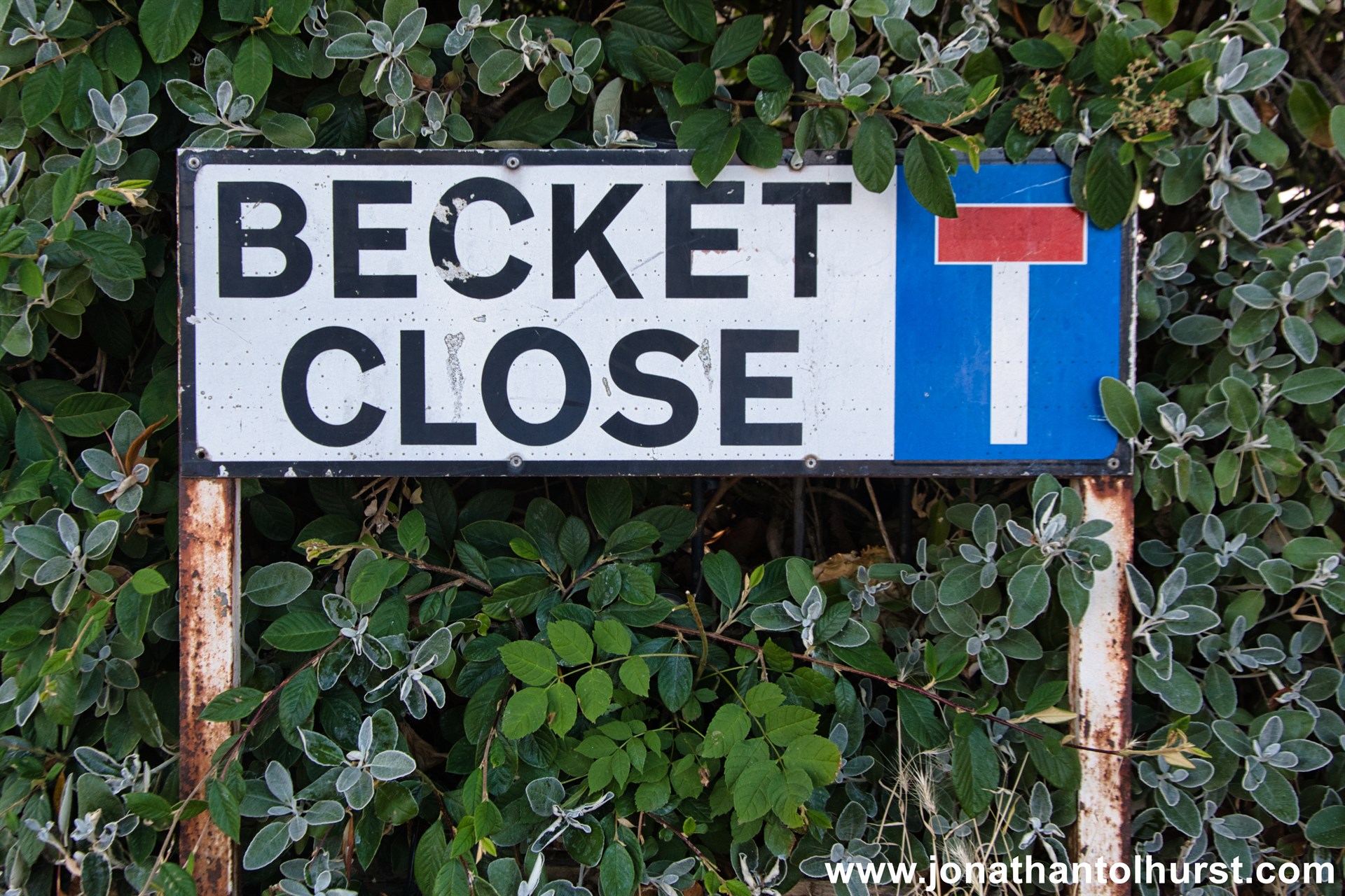
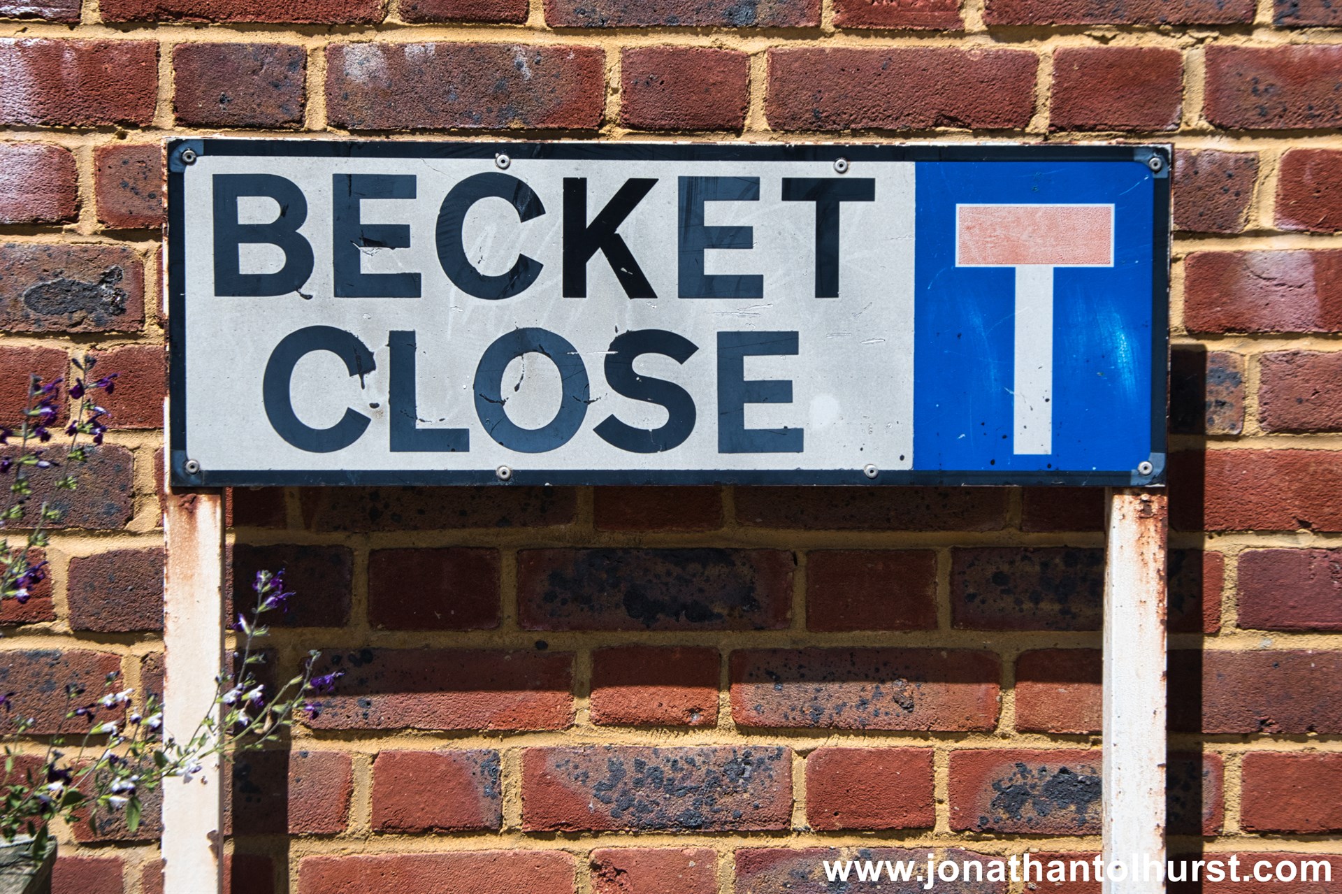
- Becket Close
- Beckford Road
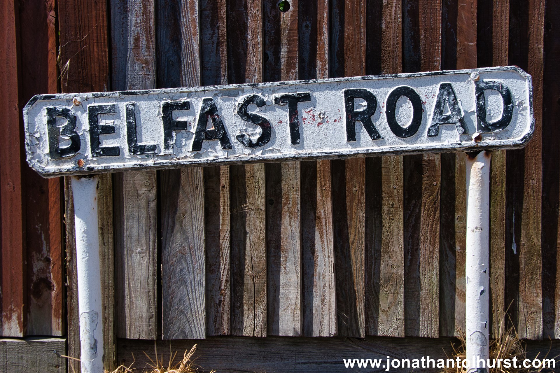
- Belfast Road
- Belgrave Road
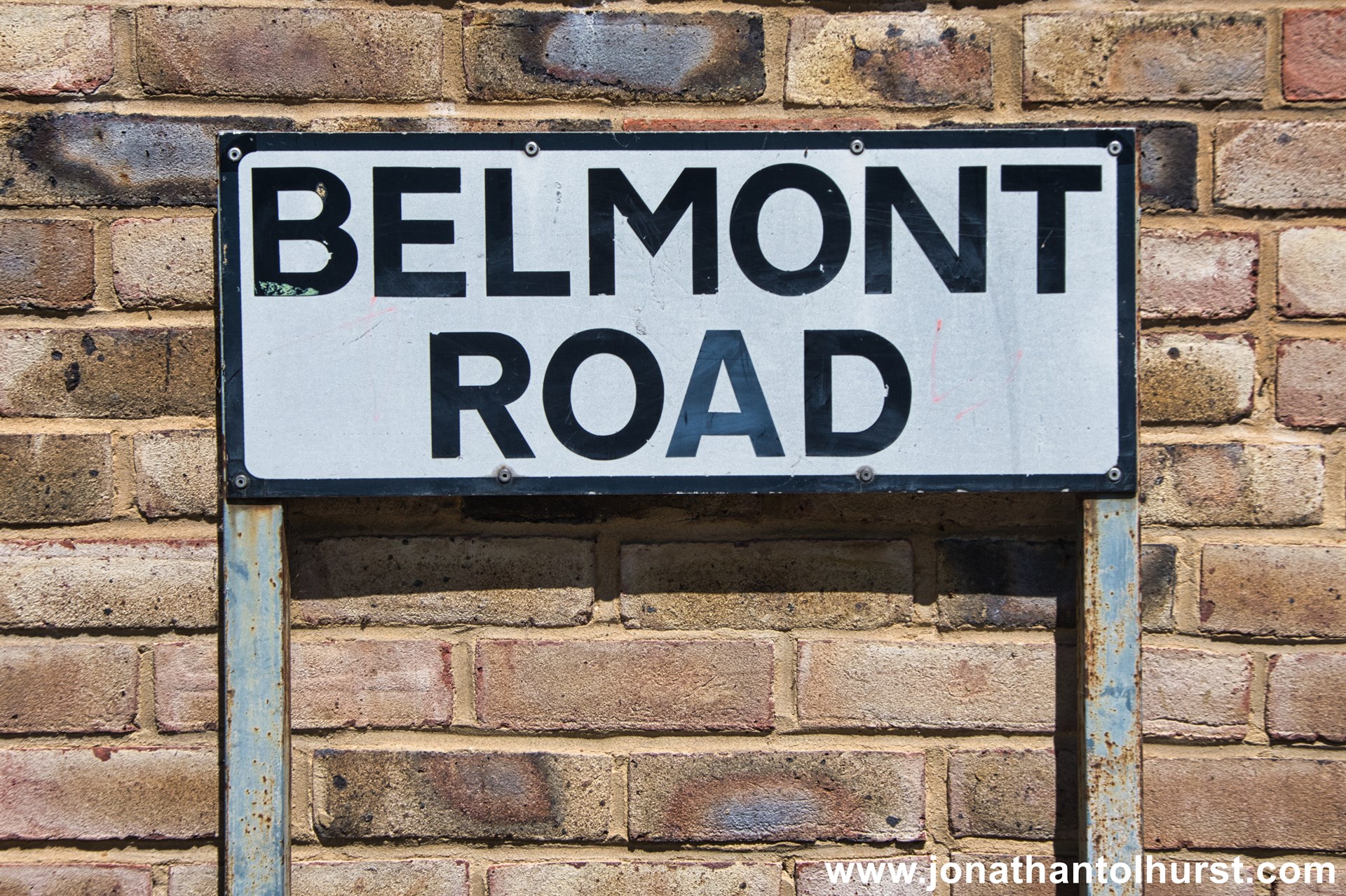
- Belmont Road
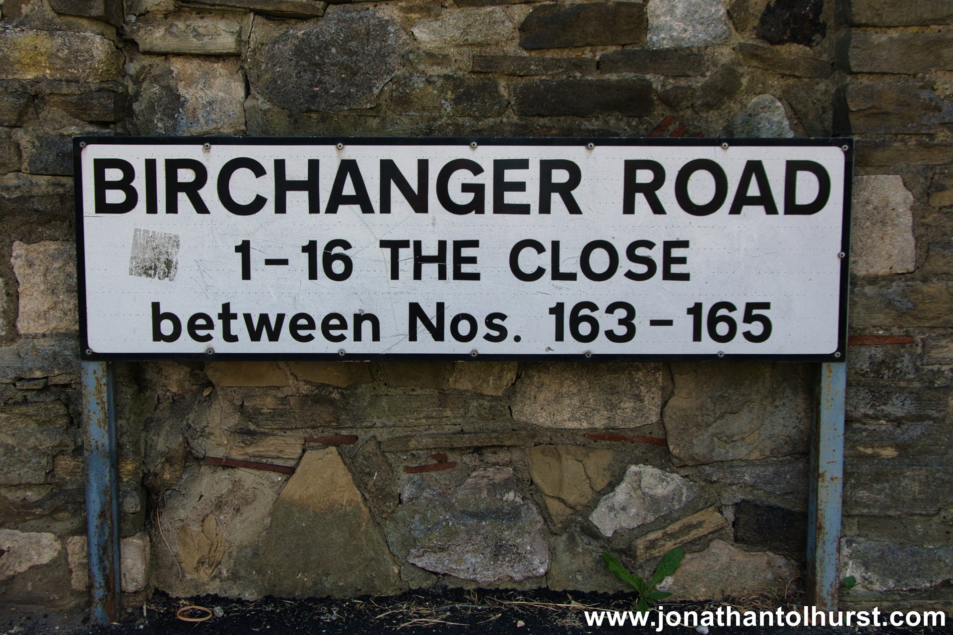
- Birchanger Road
- Blackhorse Lane
- Bradshaws Close
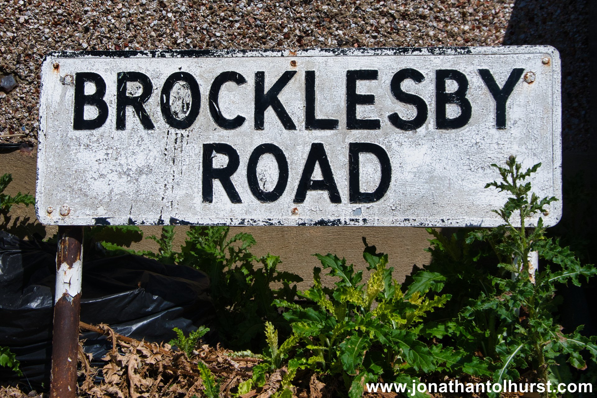
- Brocklesby Road
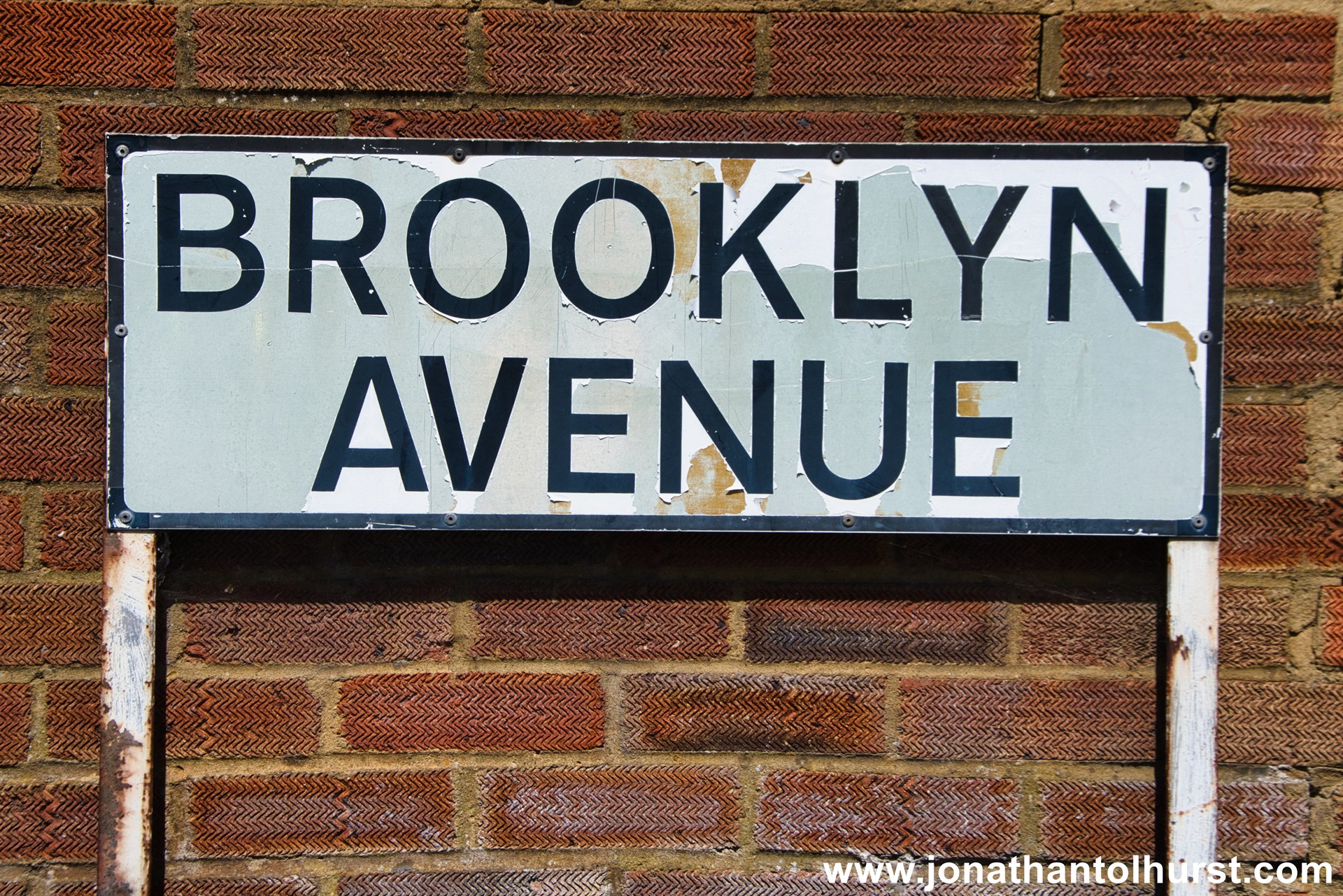
- Brooklyn Avenue
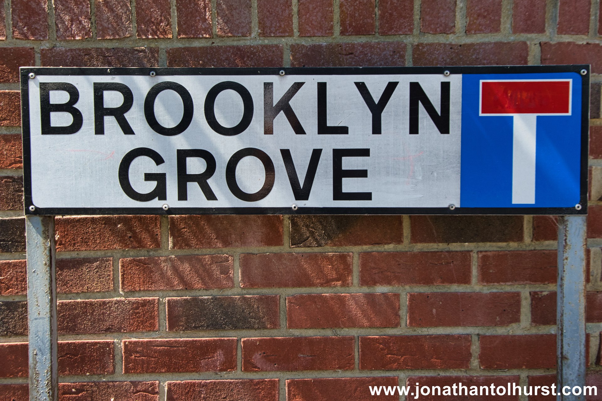
- Brooklyn Grove
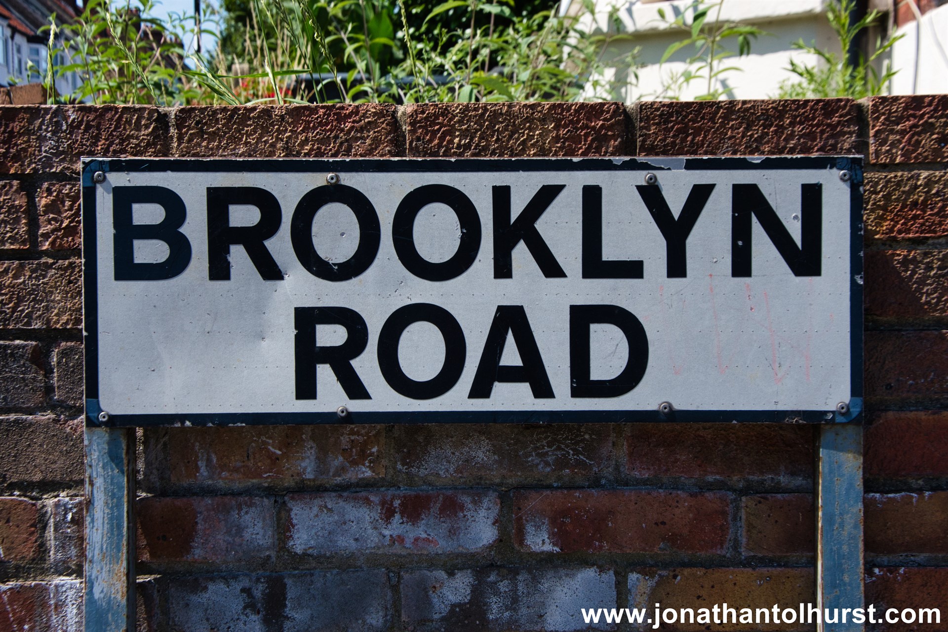
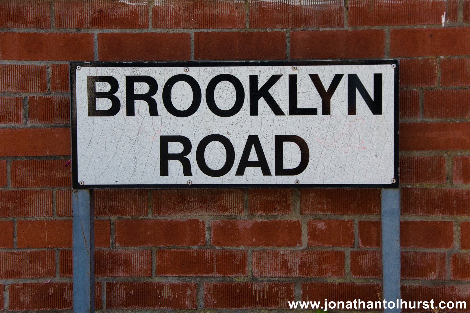
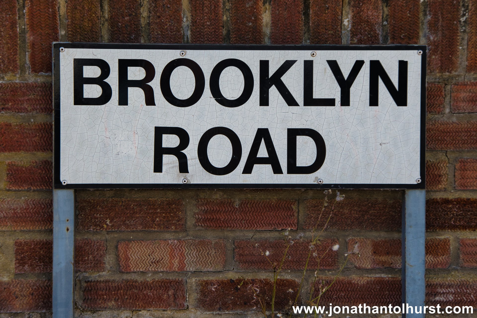
- Brooklyn Road
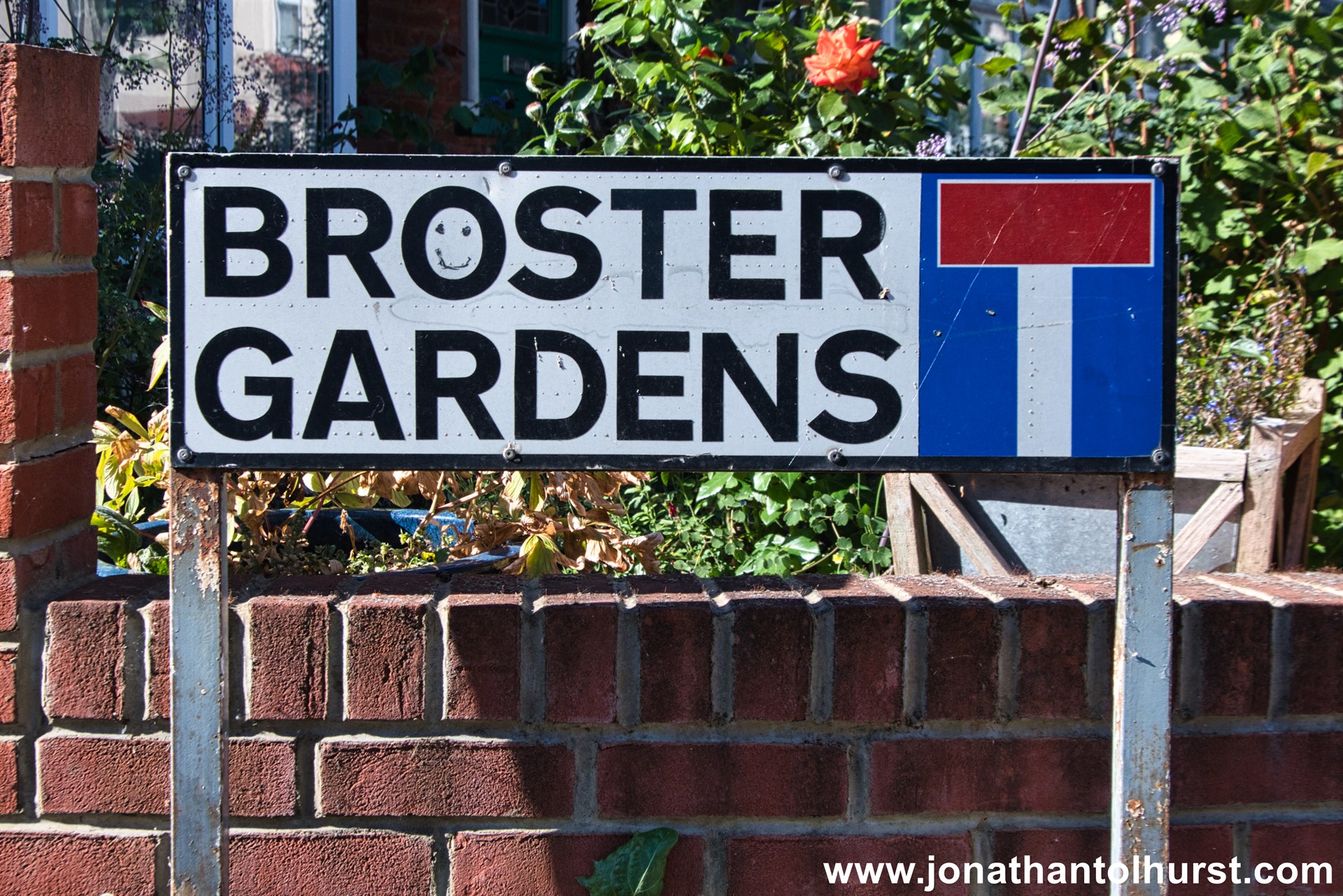
- Broster Gardens
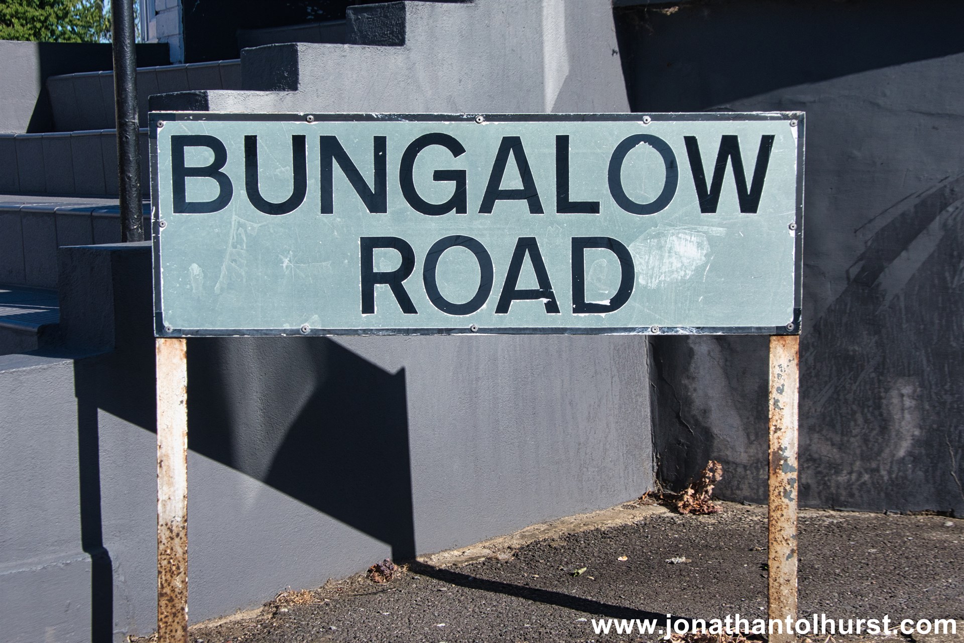
- Bungalow Road
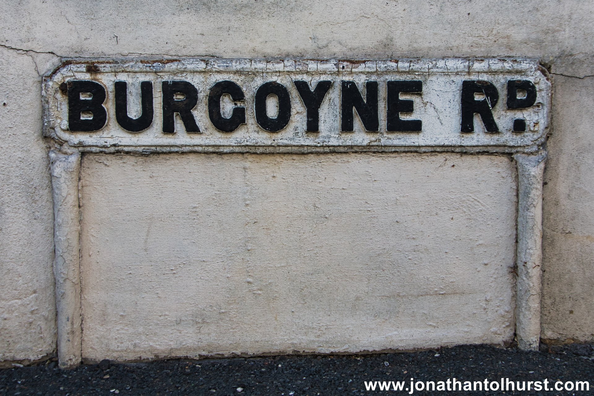
- Burgoyne Road
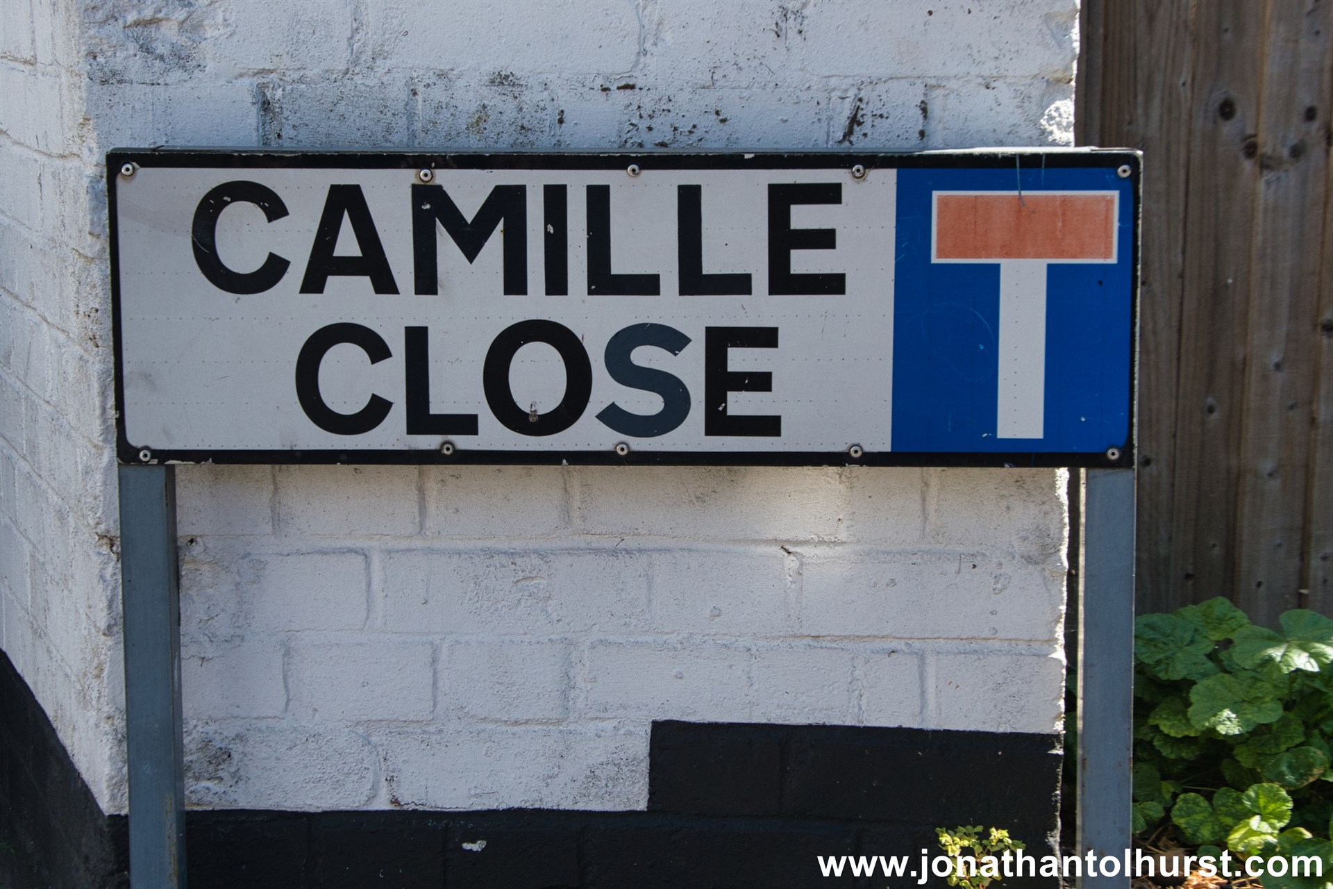
- Camille Close
- Canal Walk
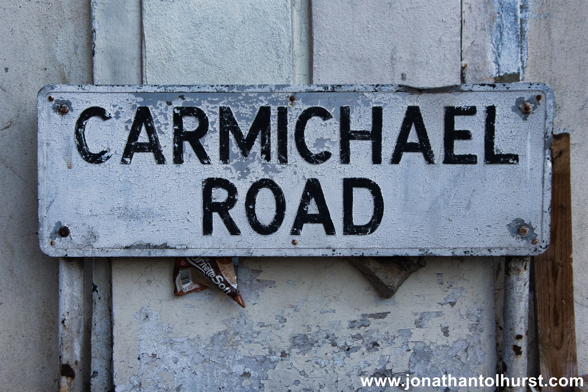
- Carmichael Road
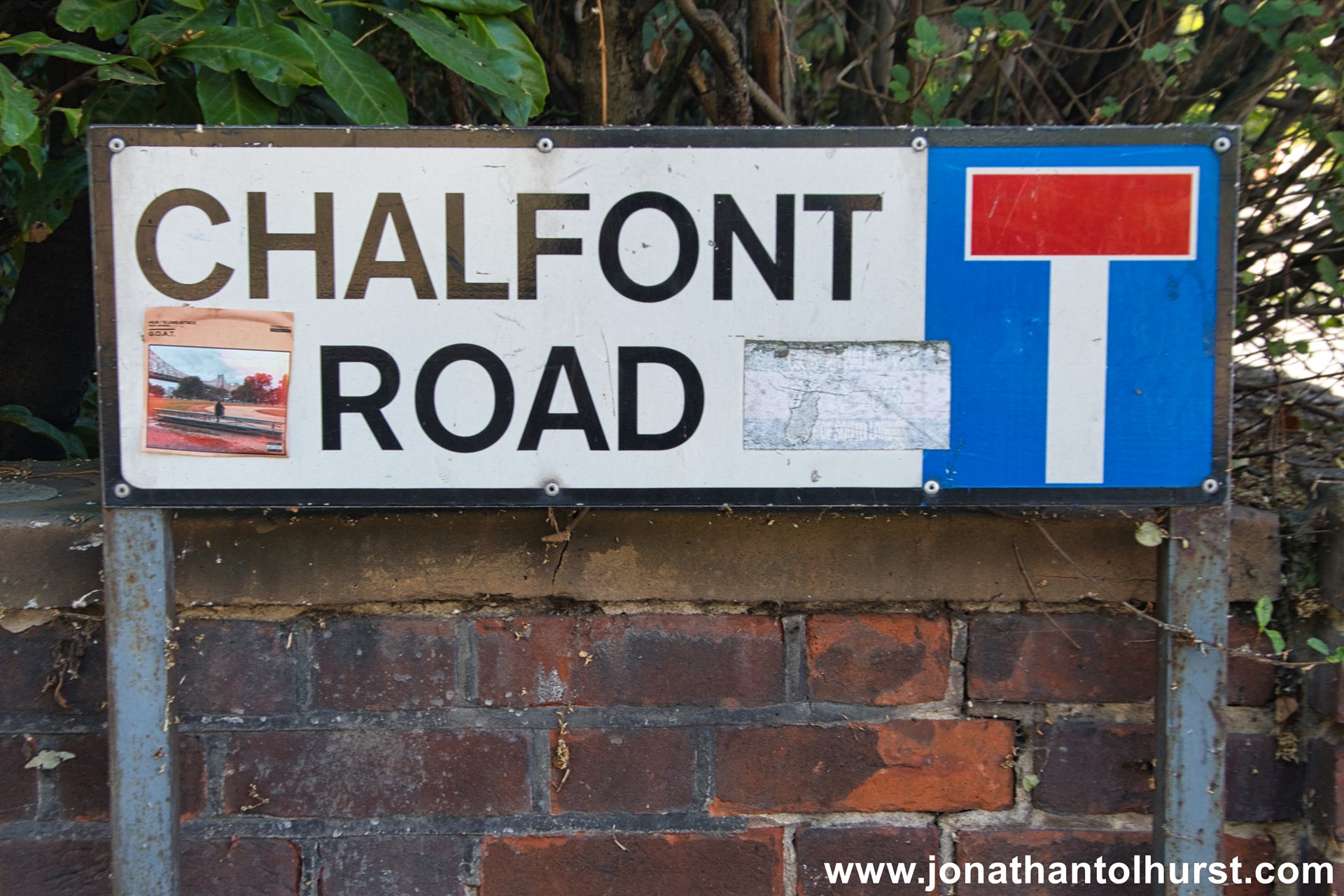
- Chalfont Road
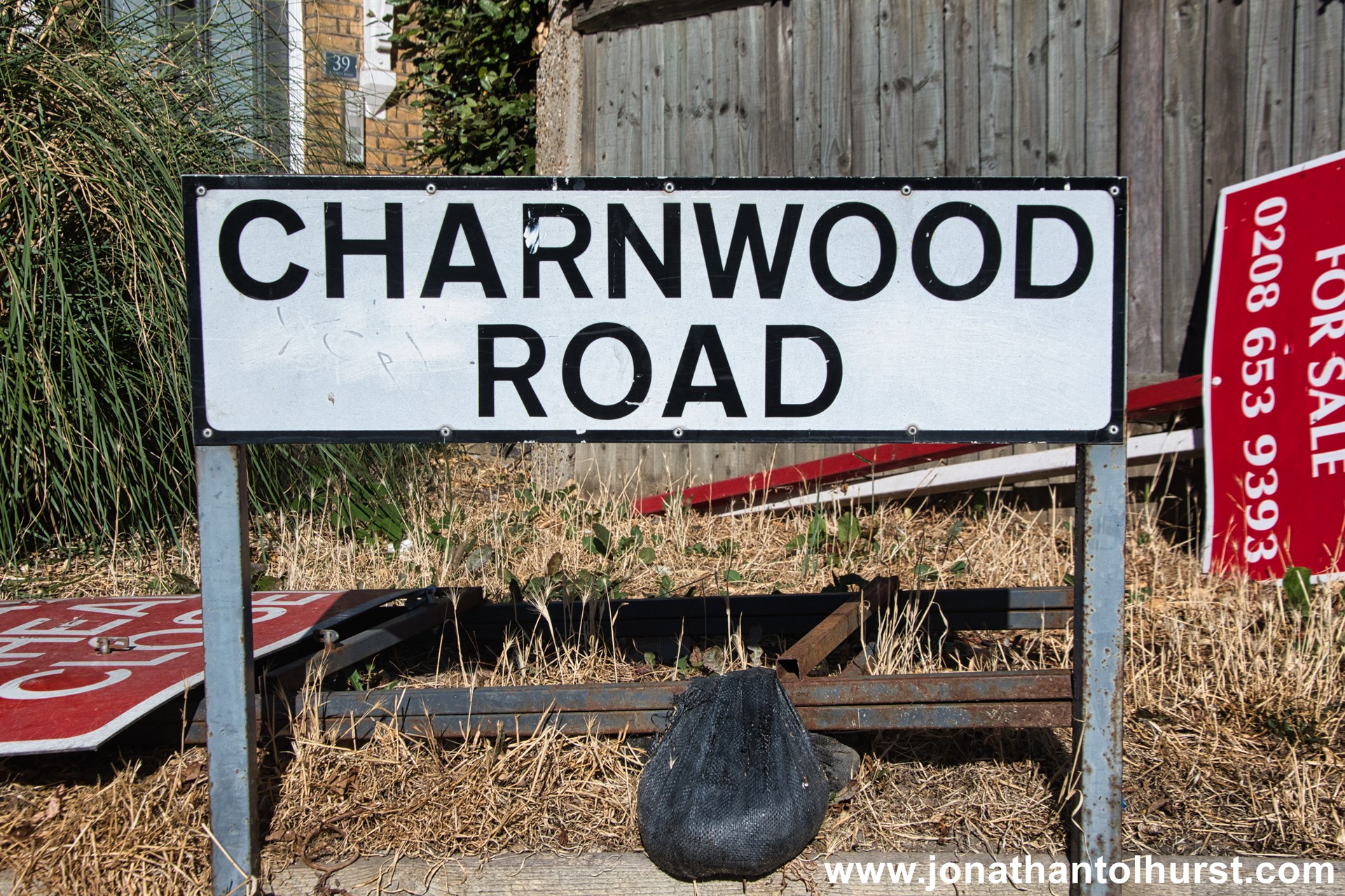
- Charnwood Road
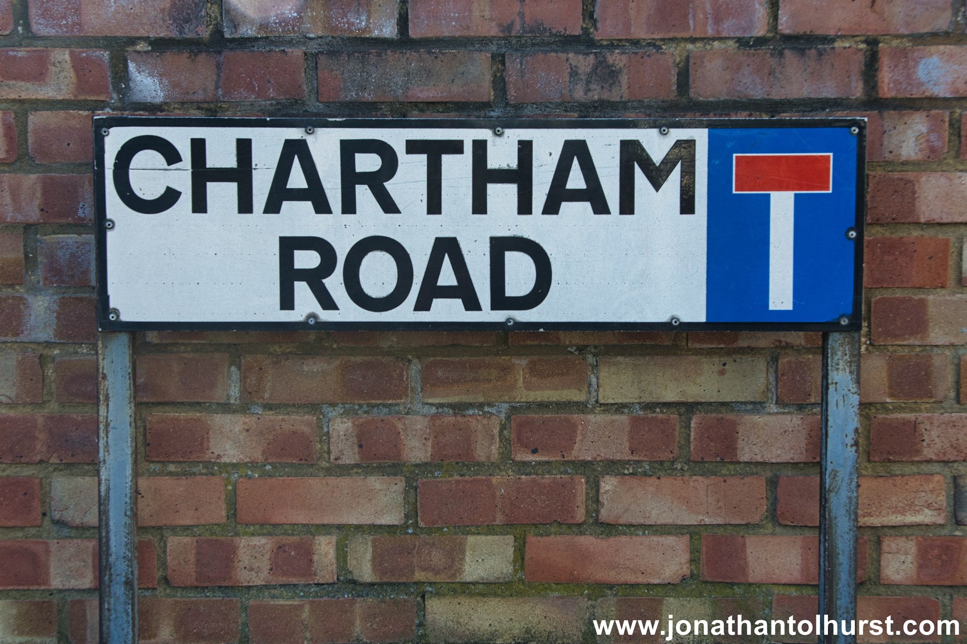
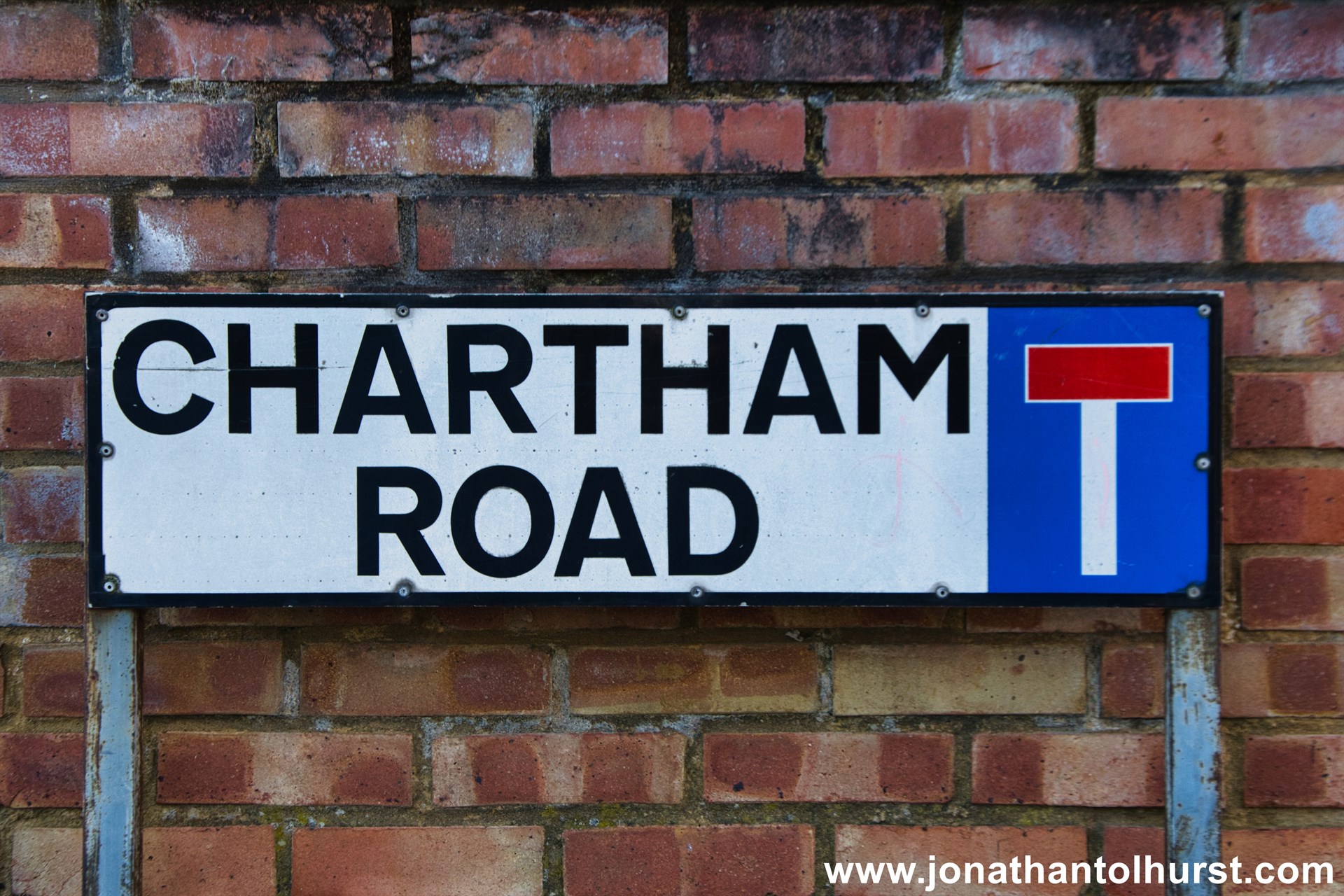
- Chartham Road
- Cheriton Road
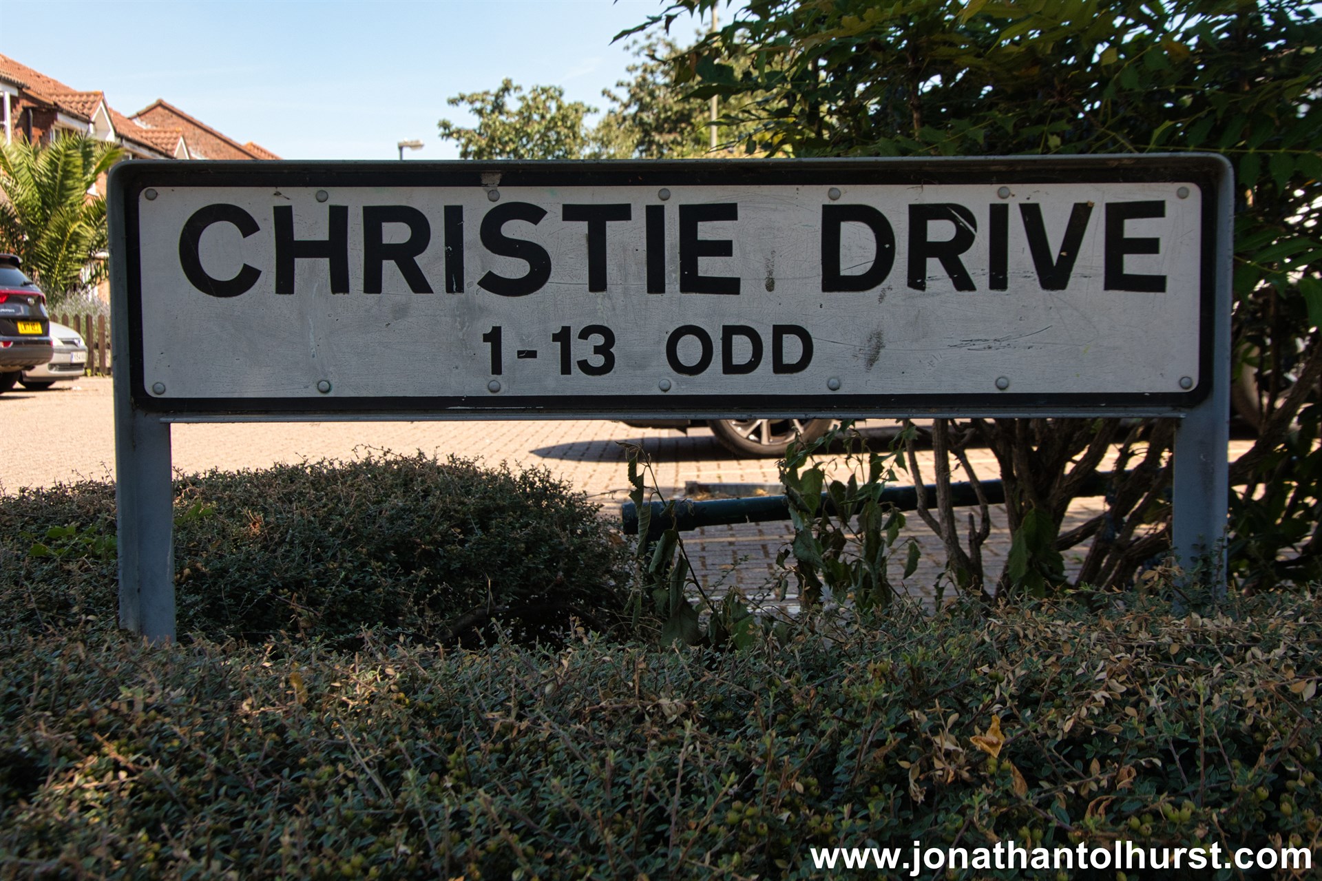
- Christie Drive
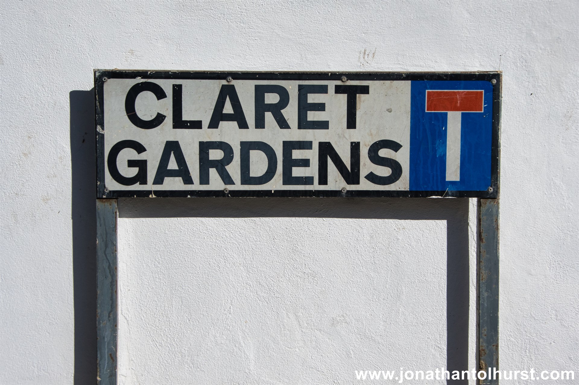
- Claret Gardens
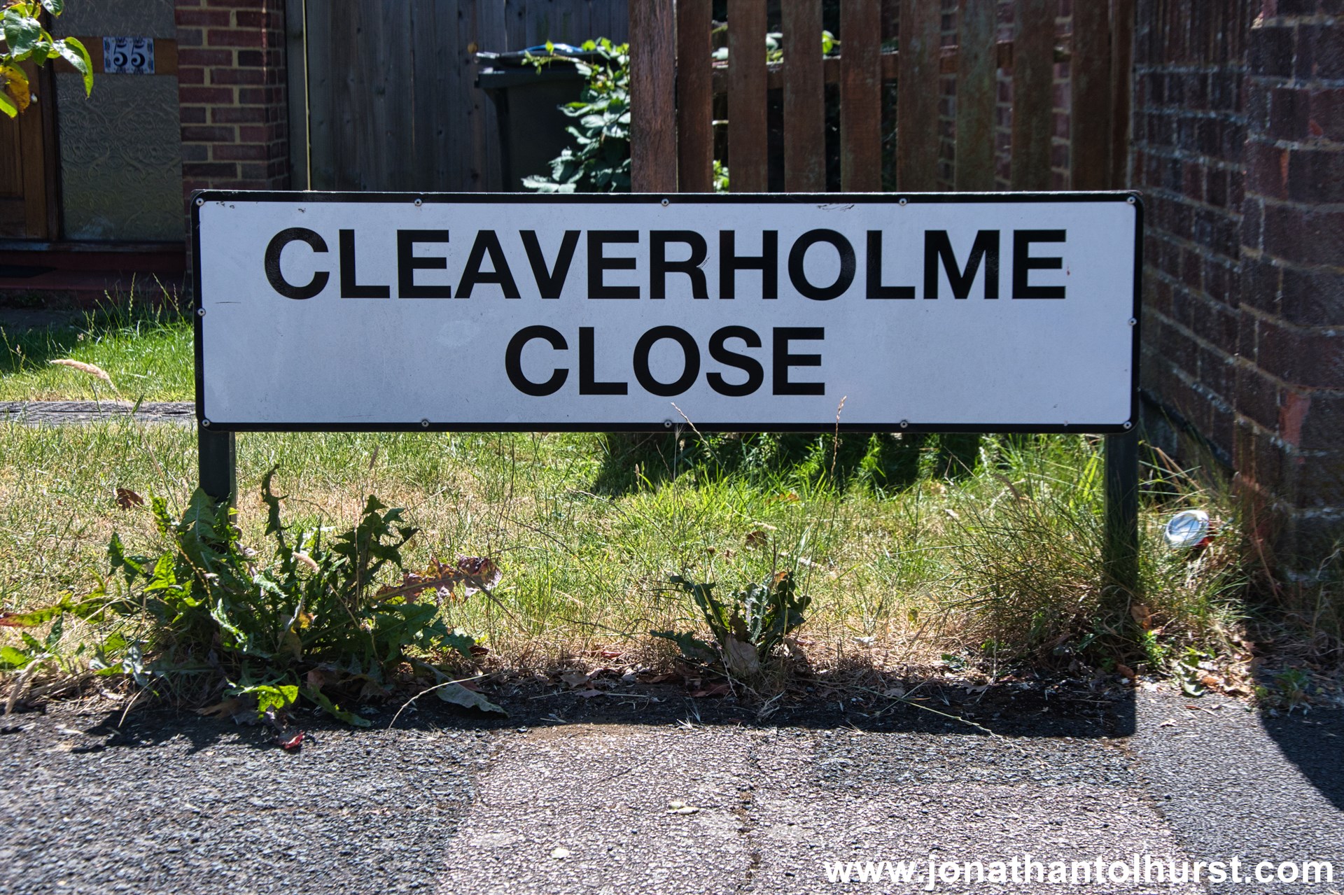
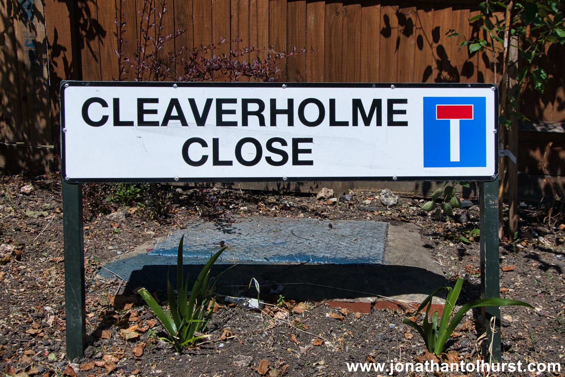
- Cleaverholme Close
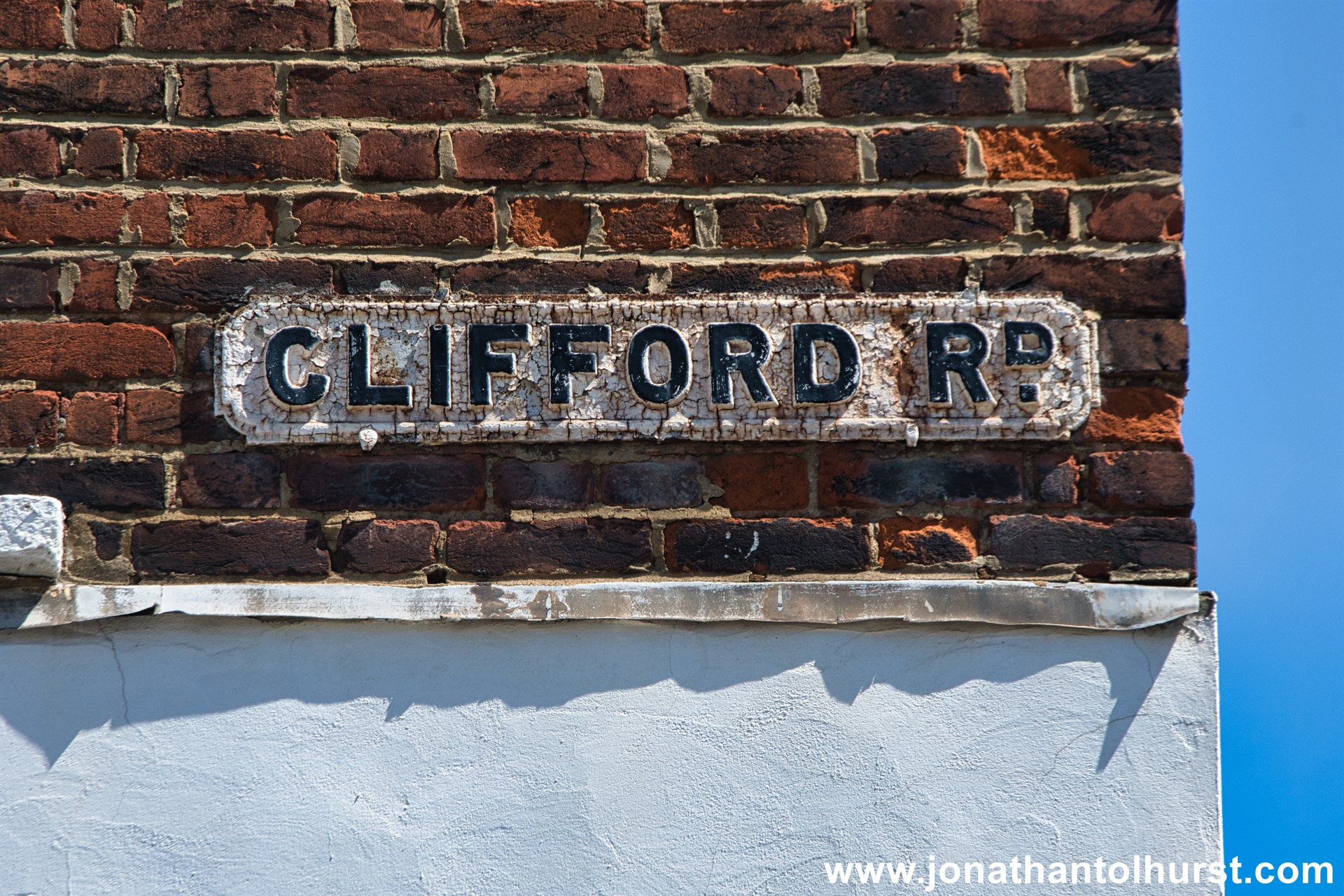
- Clifford Road
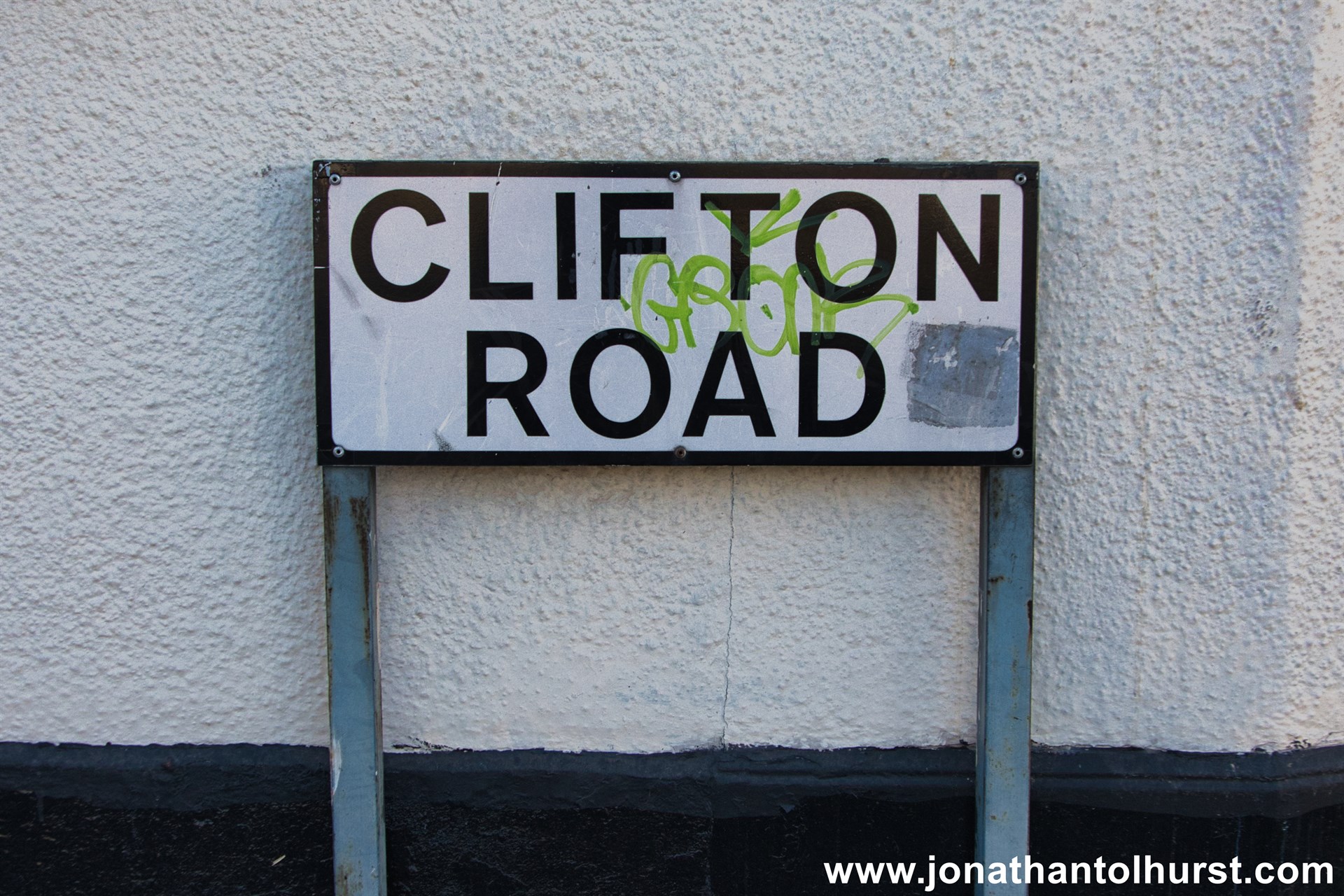
- Clifton Road
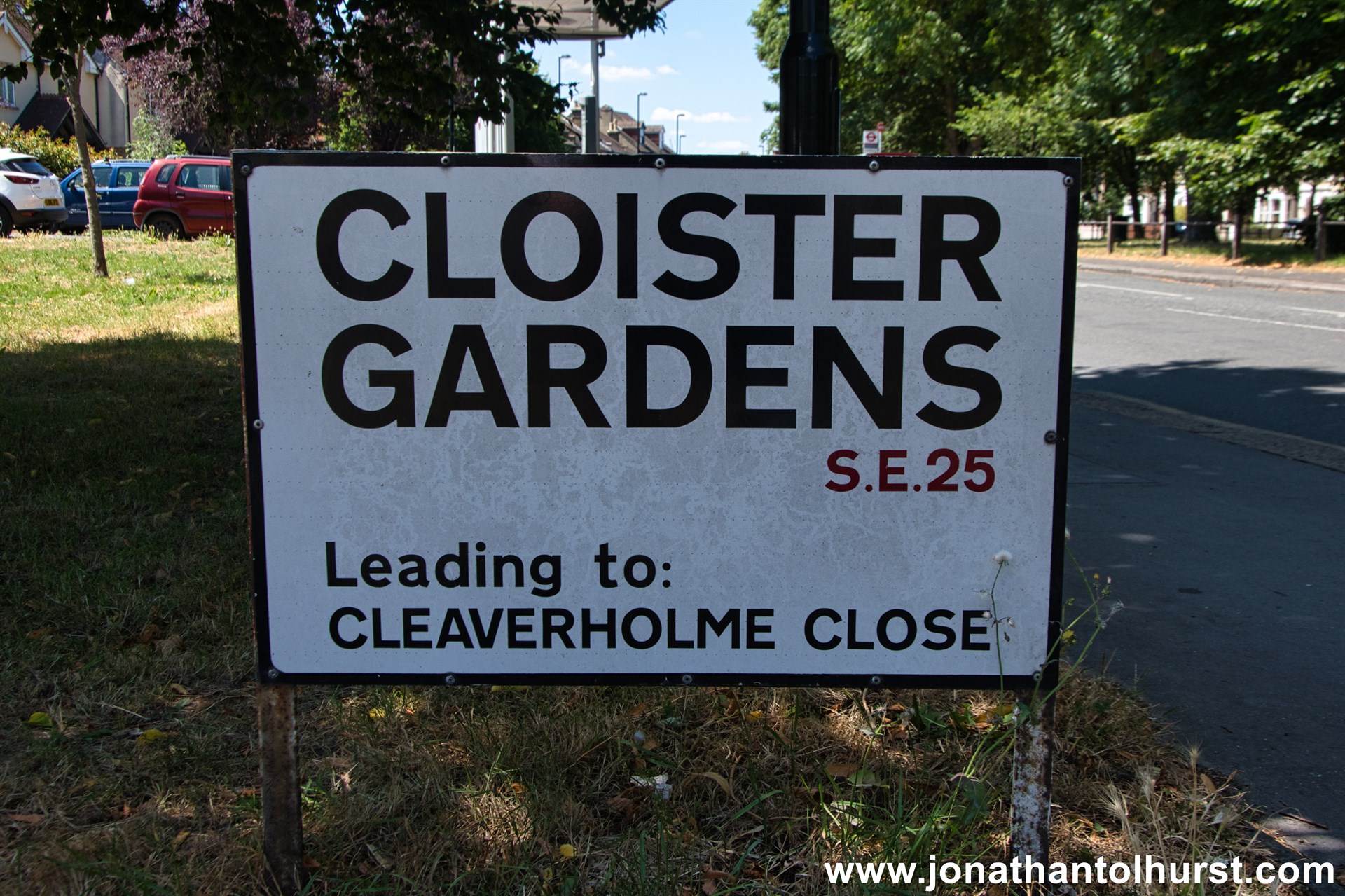
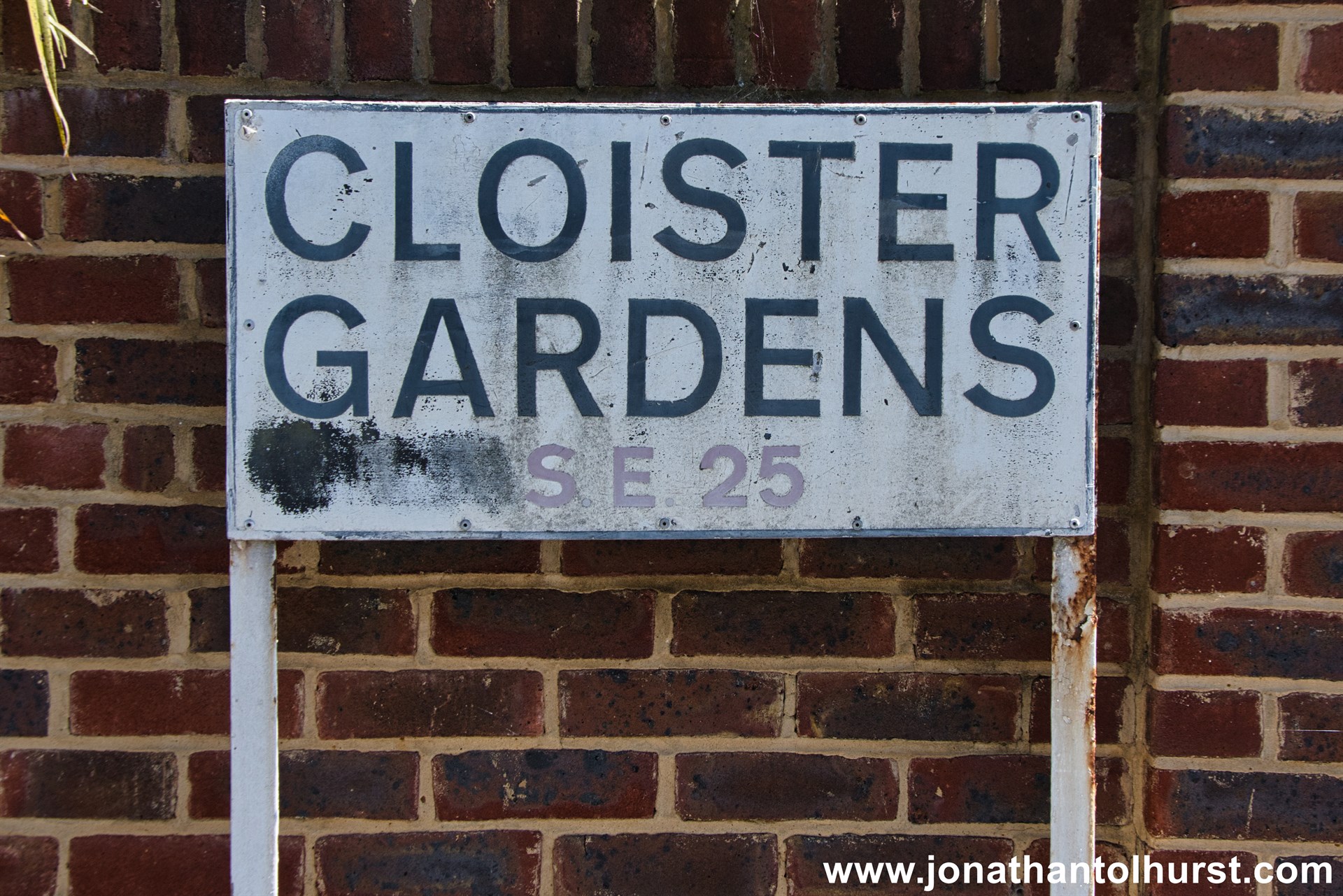
- Cloister Gardens
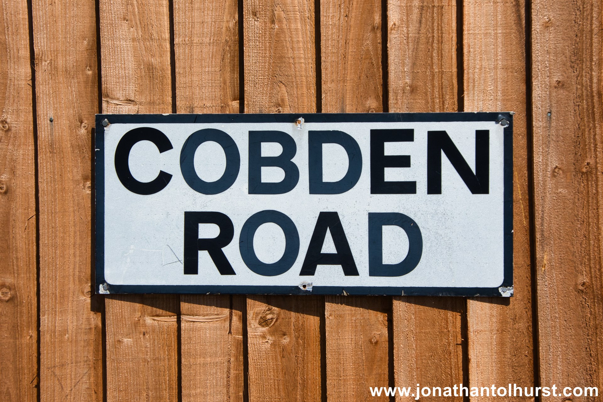
- Cobden Road
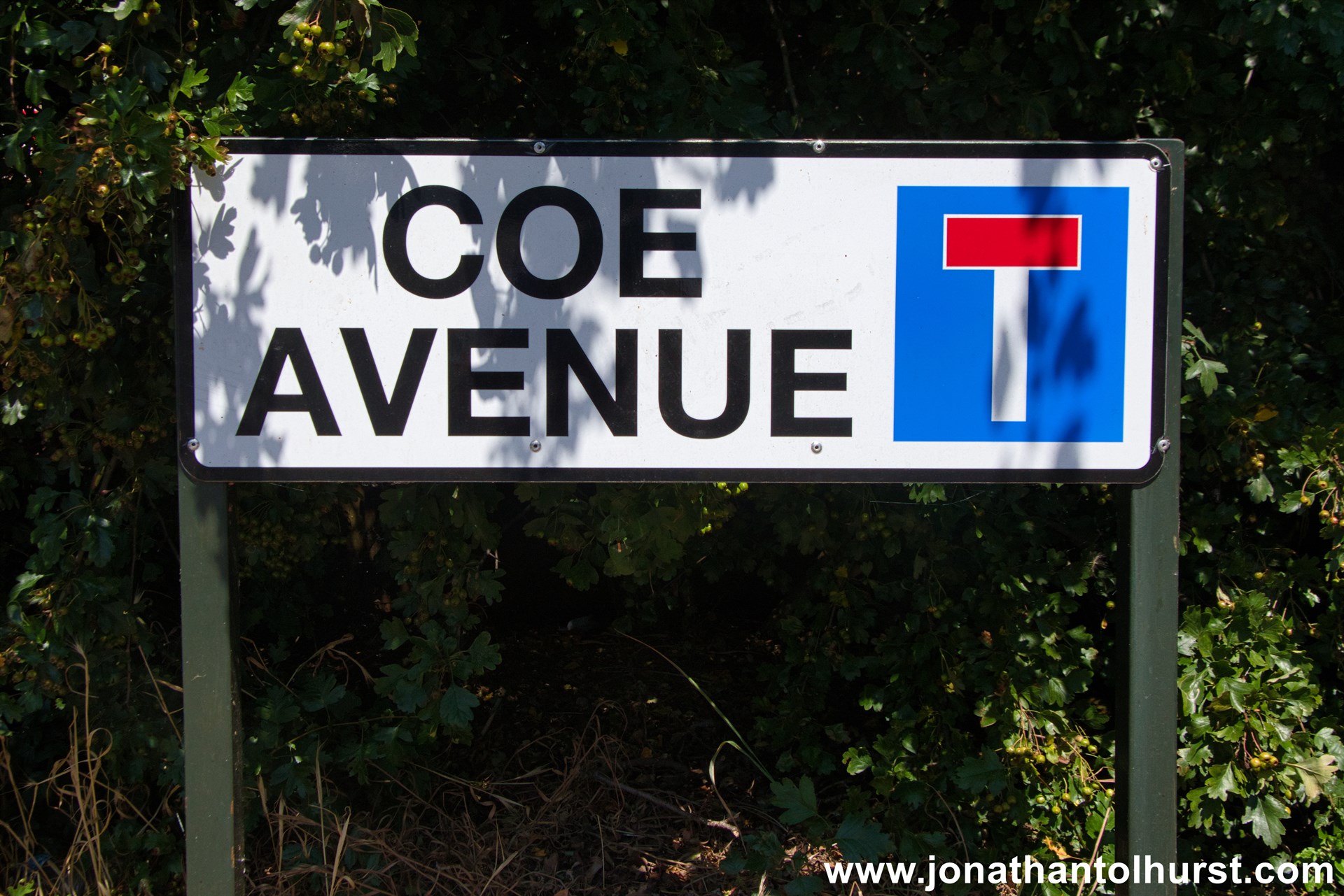
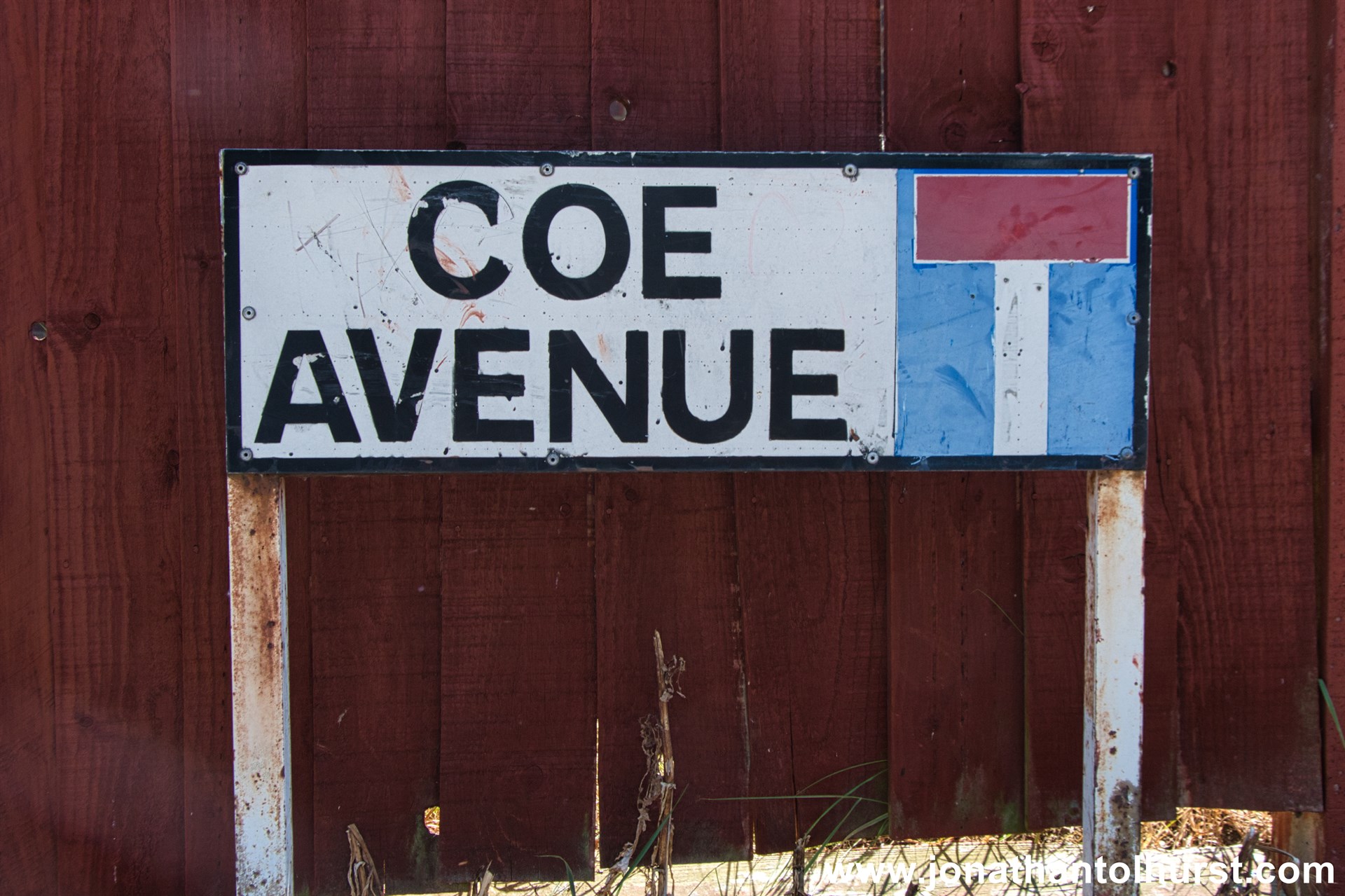
- Coe Avenue
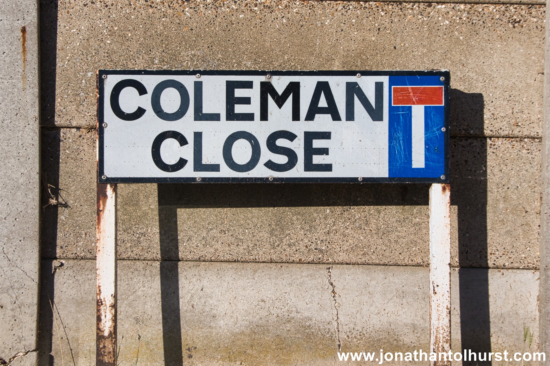
- Coleman Close
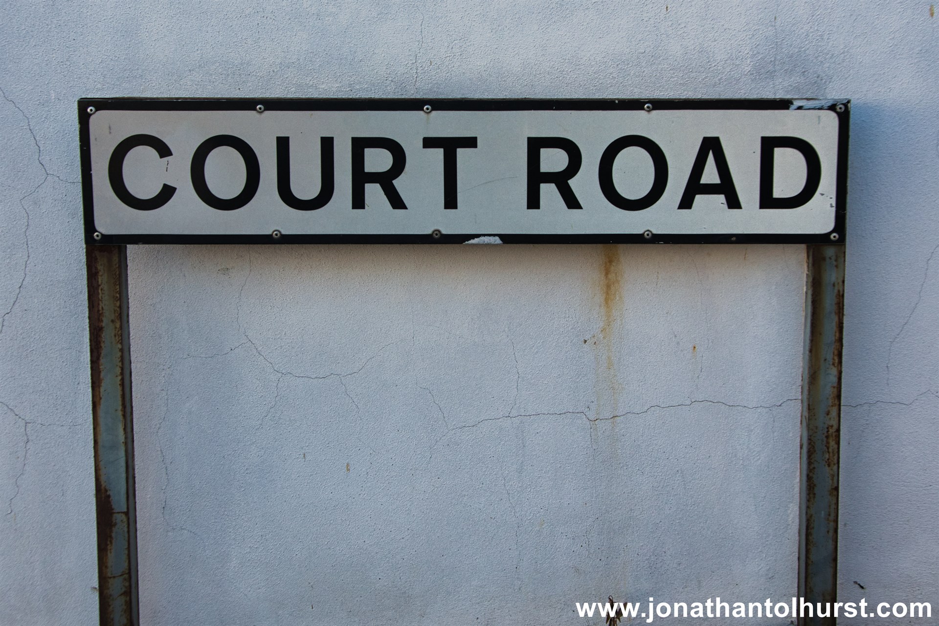
- Court Road
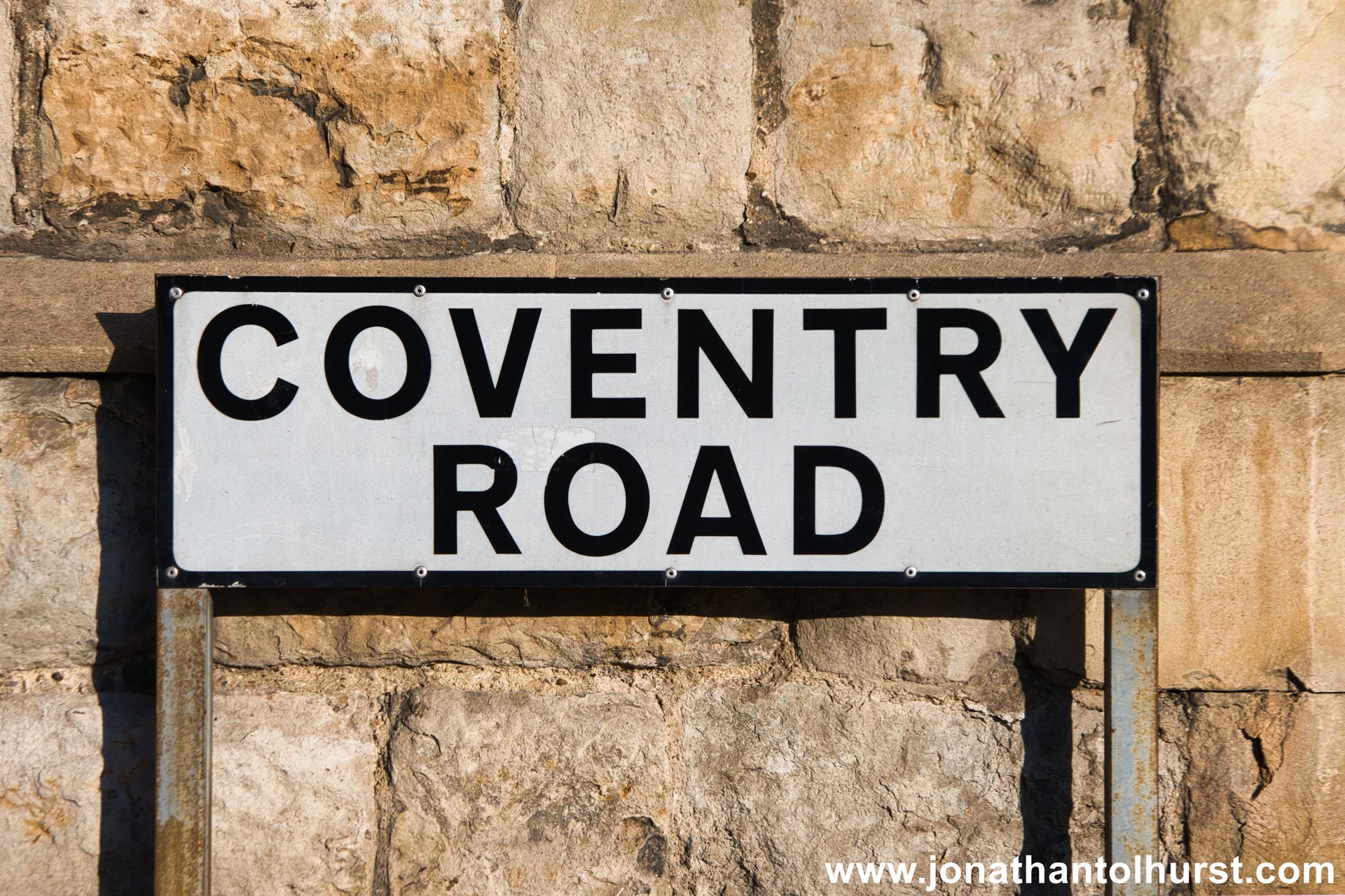
- Coventry Road
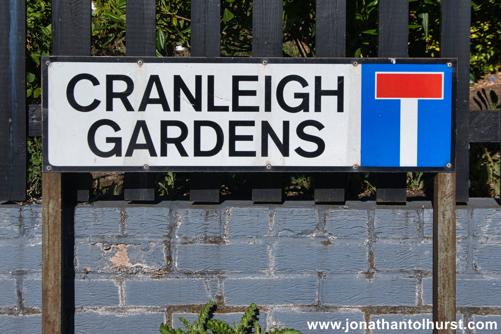
- Cranleigh Gardens
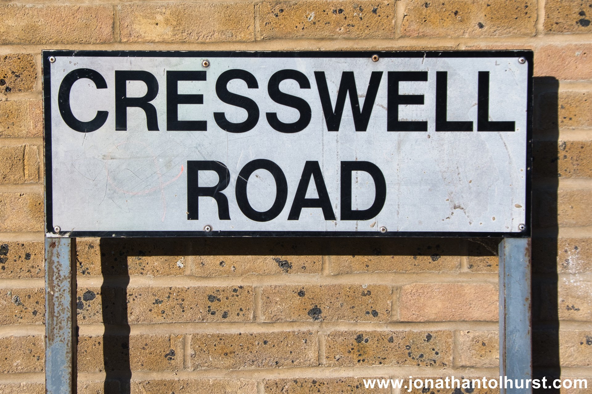
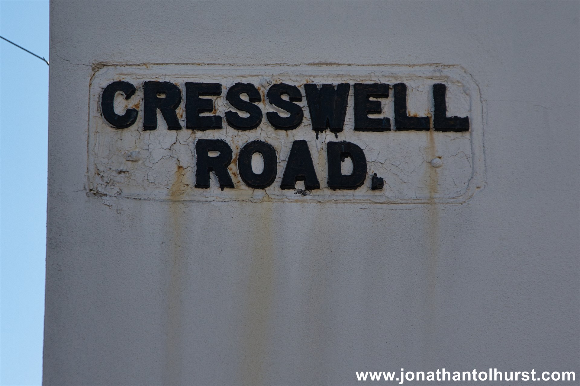
- Cresswell Road
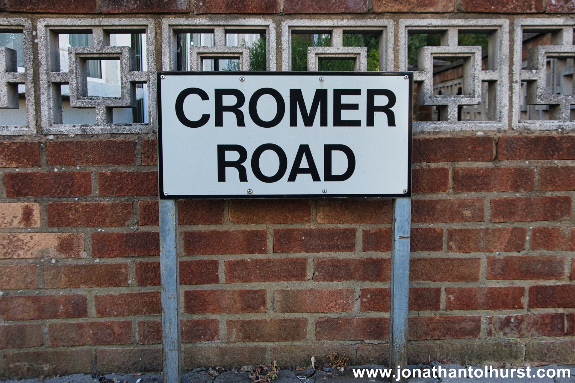
- Cromer Road
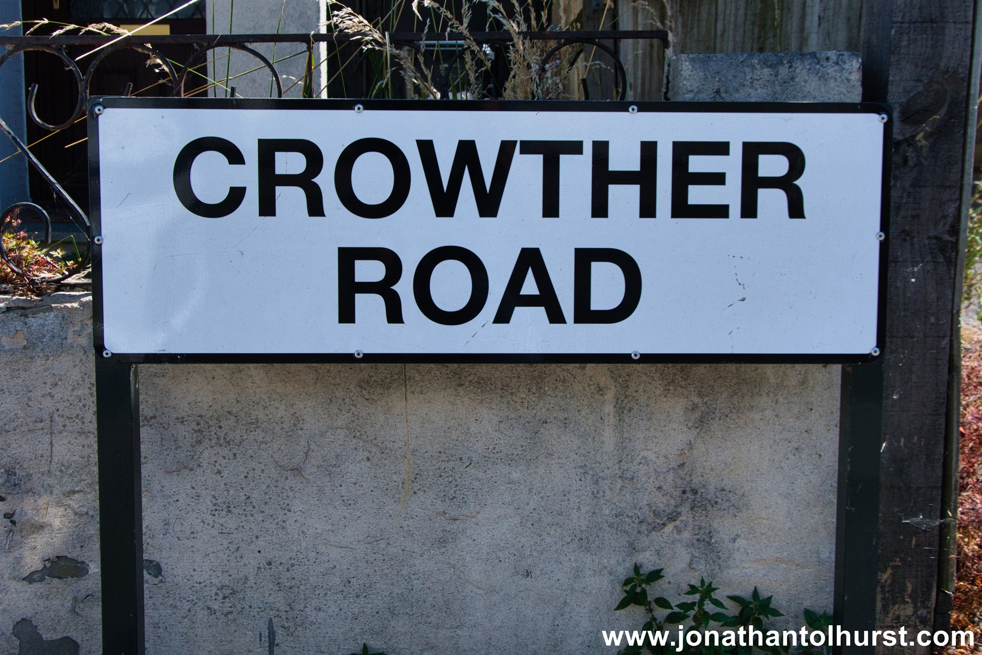
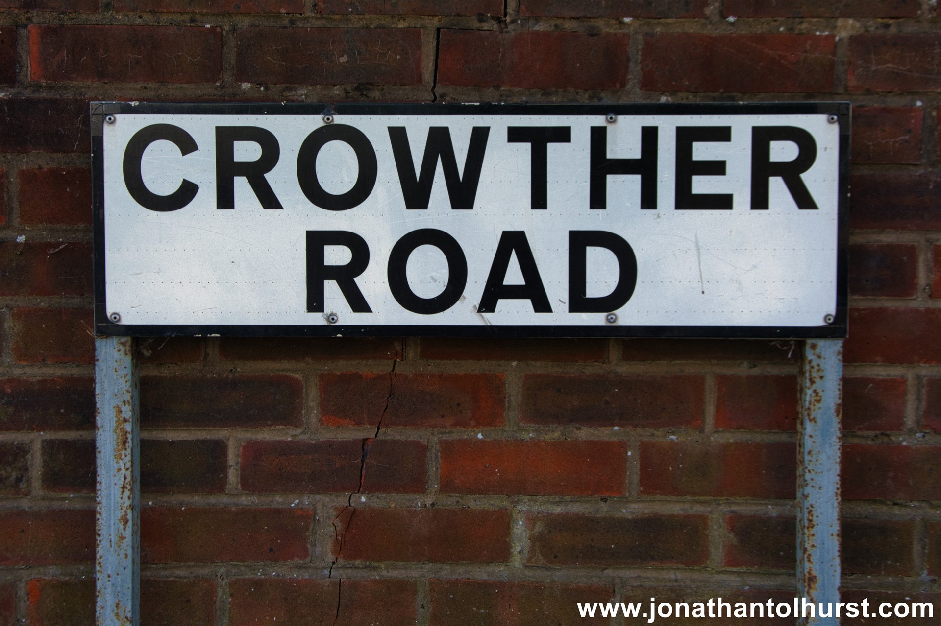
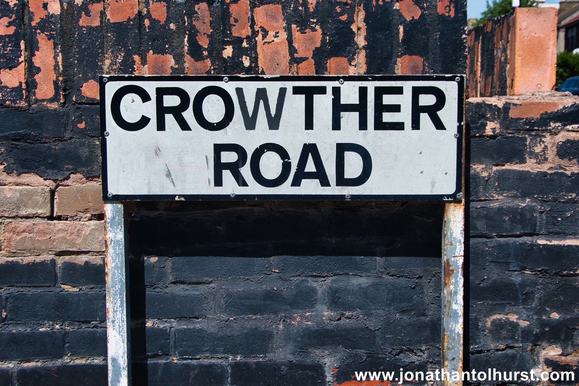
- Crowther Road
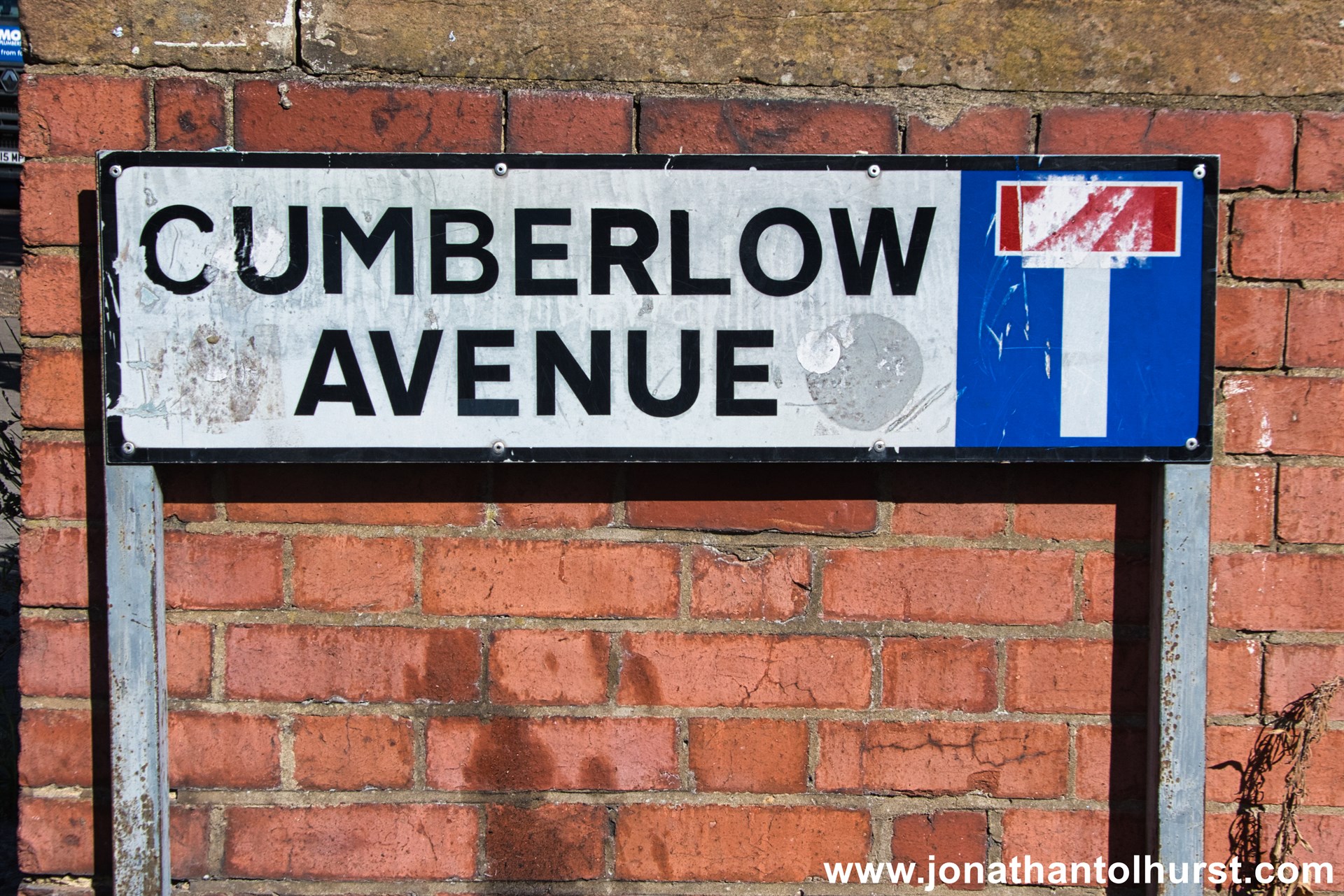
- Cumberlow Avenue
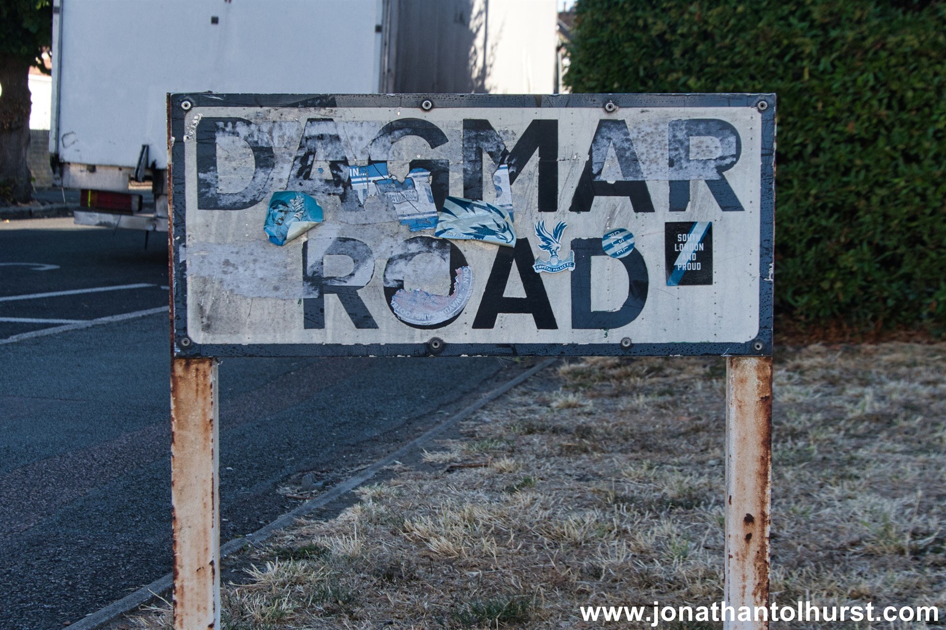
- Dagmar Road
- Dagnall Park
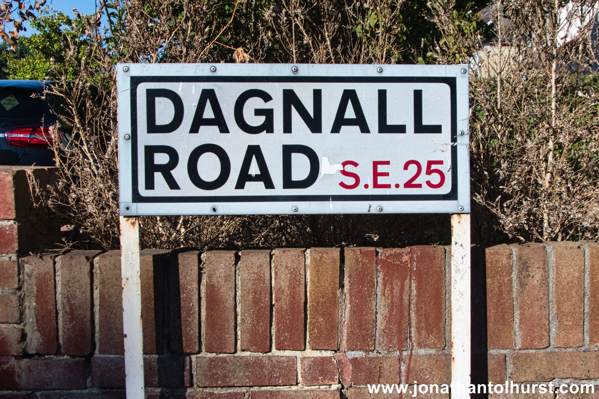
- Dagnall Road
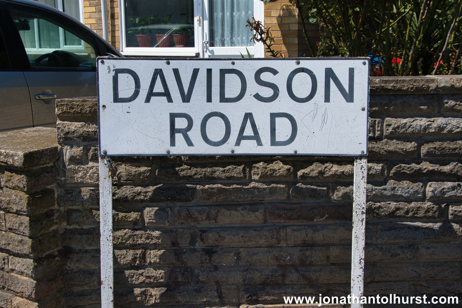
- Davidson Road
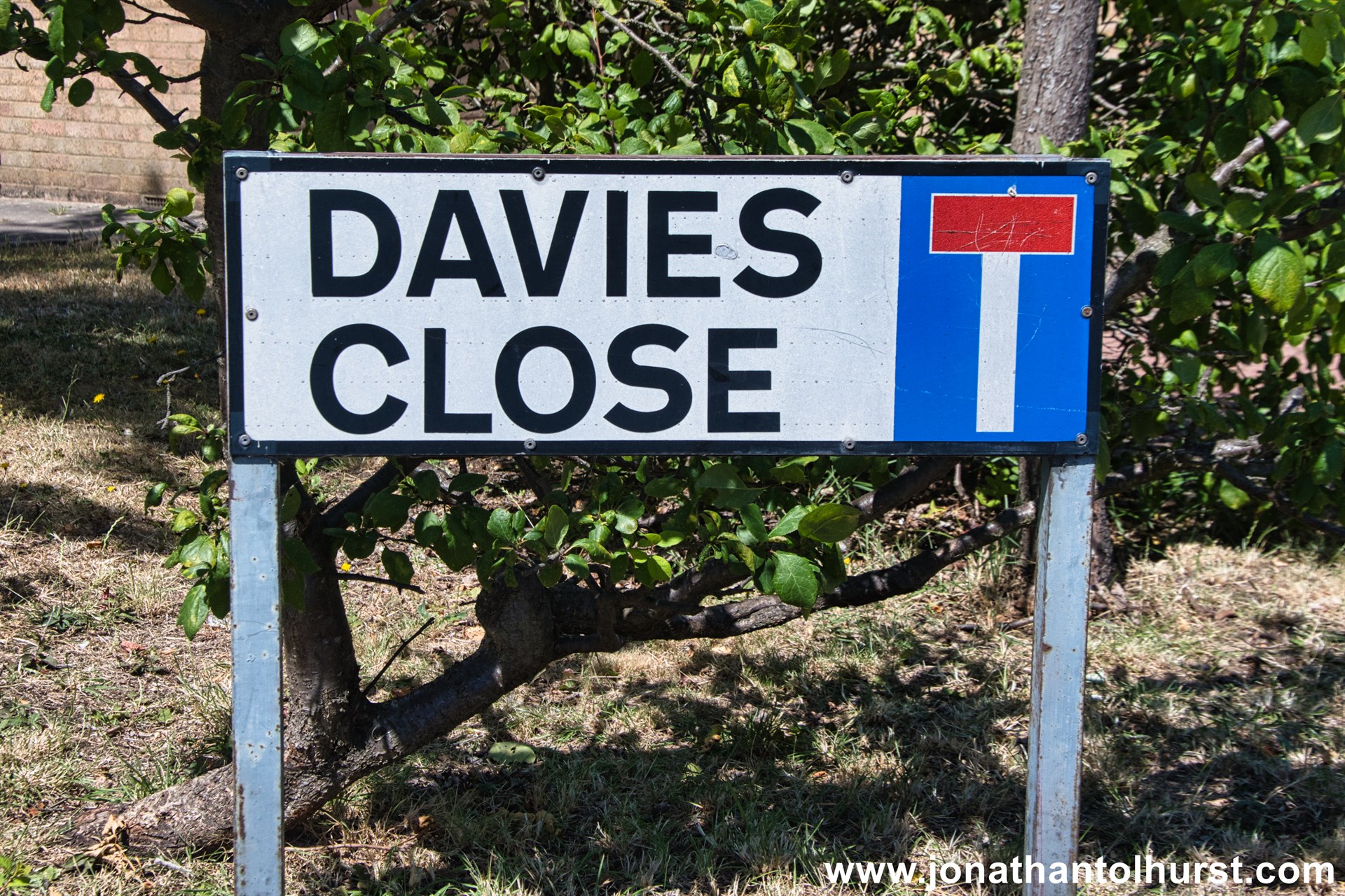
- Davies Close
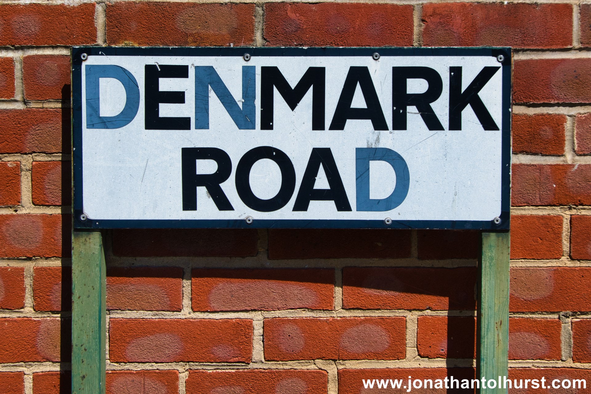
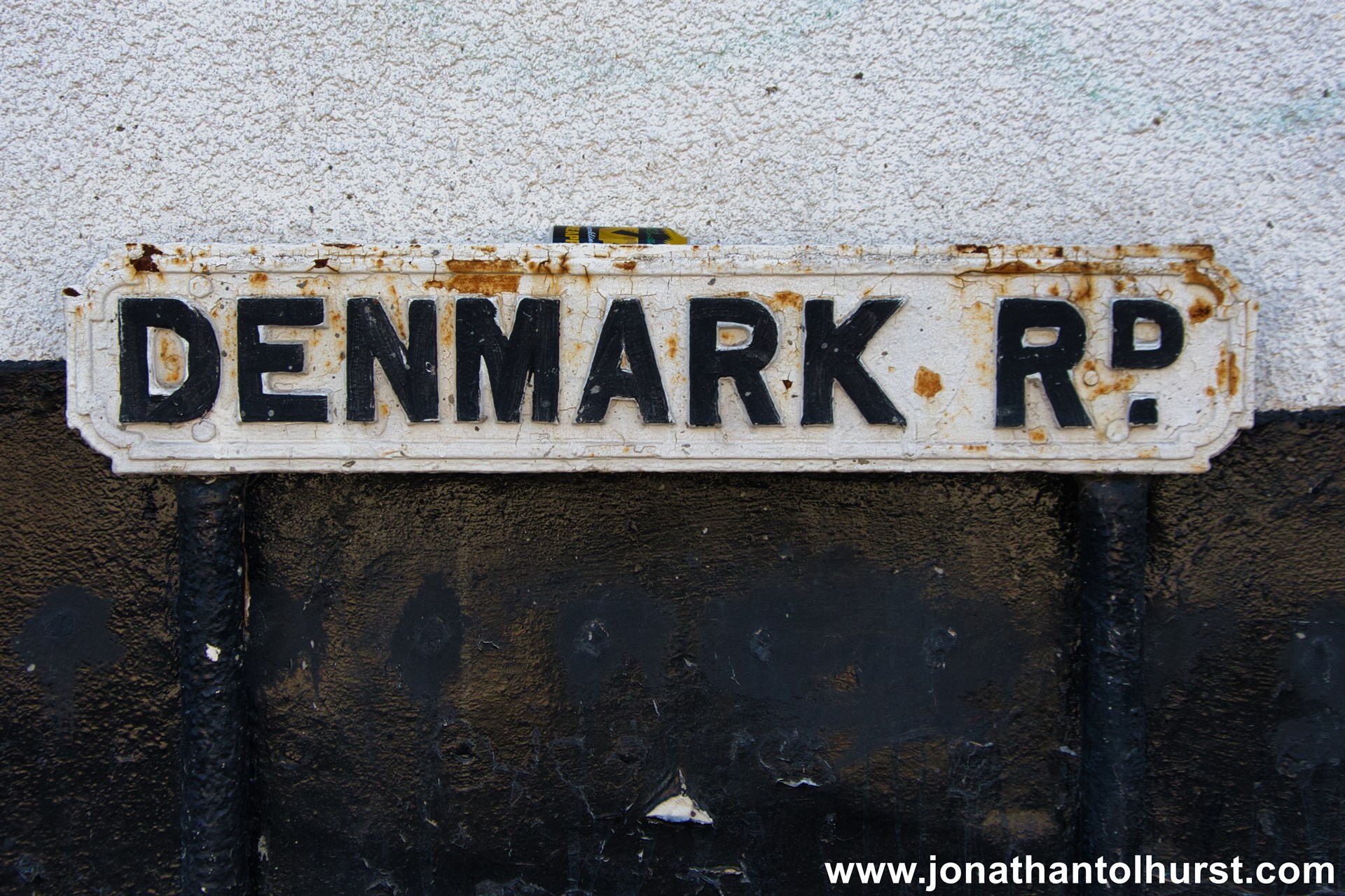
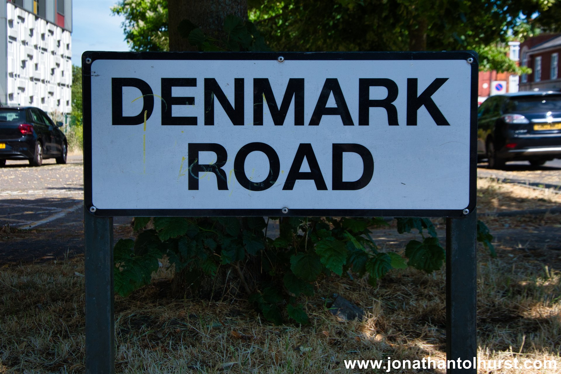
- Denmark Road
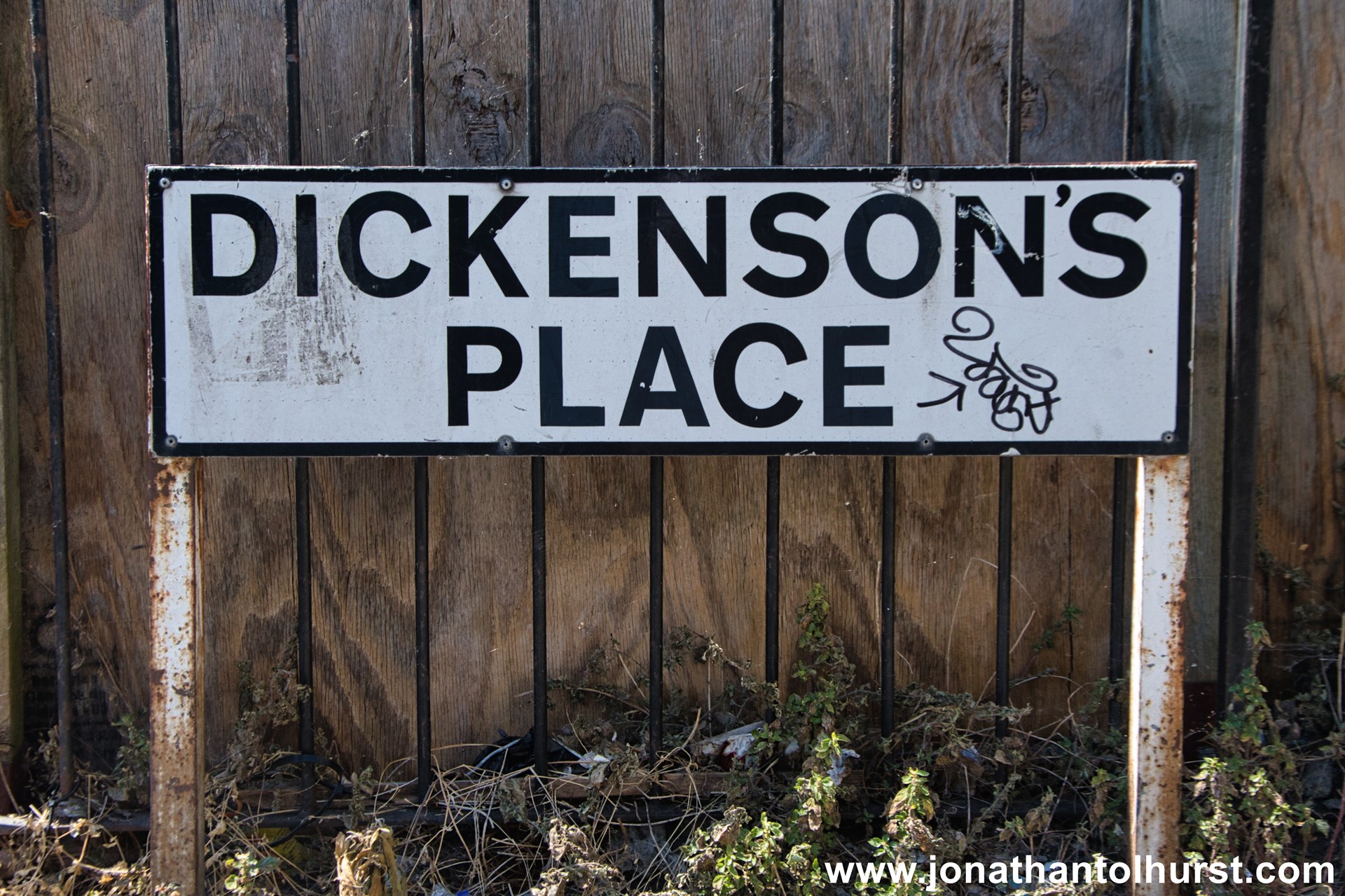
- Dickenson’s Place
- Dickensons Lane
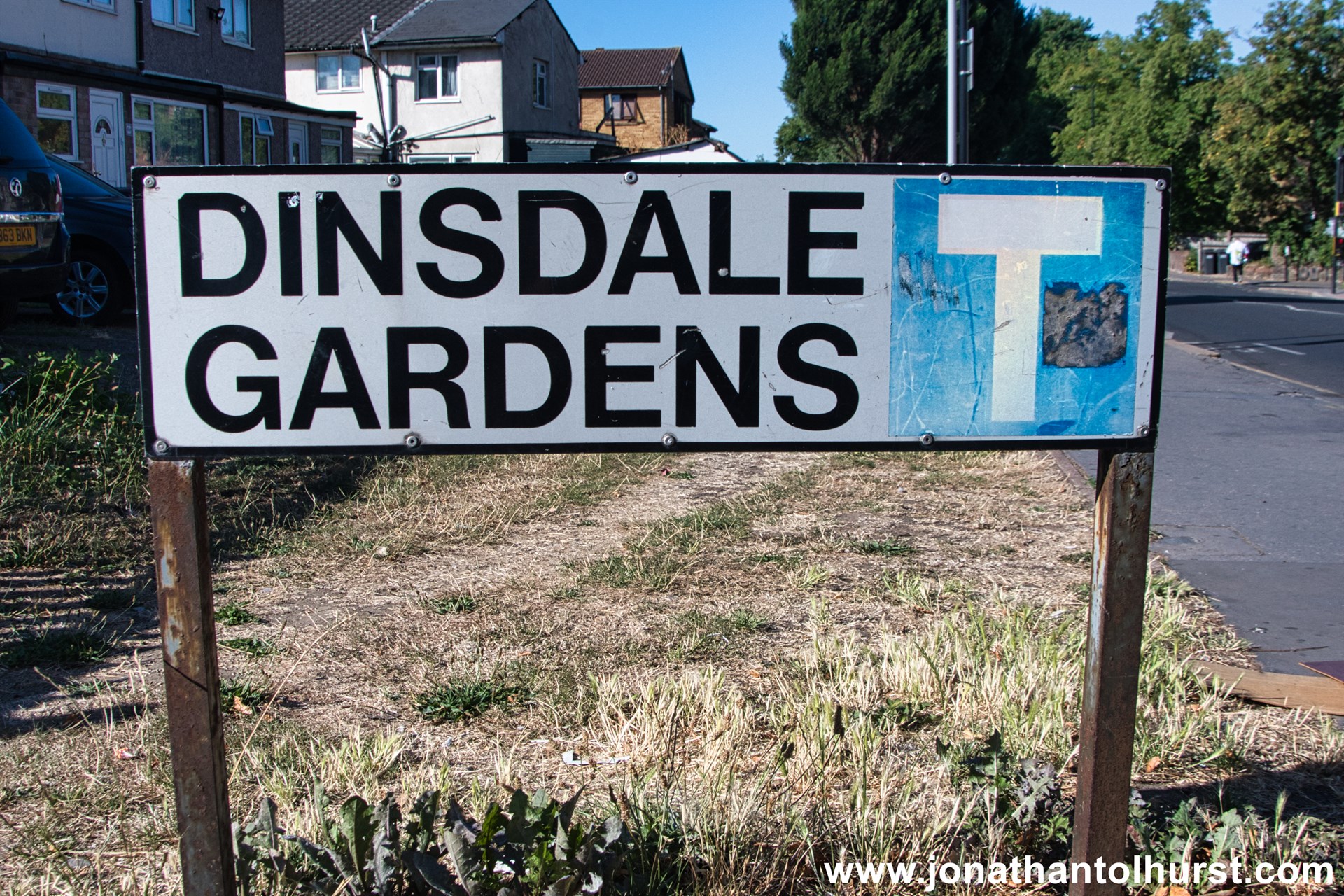
- Dinsdale Gardens
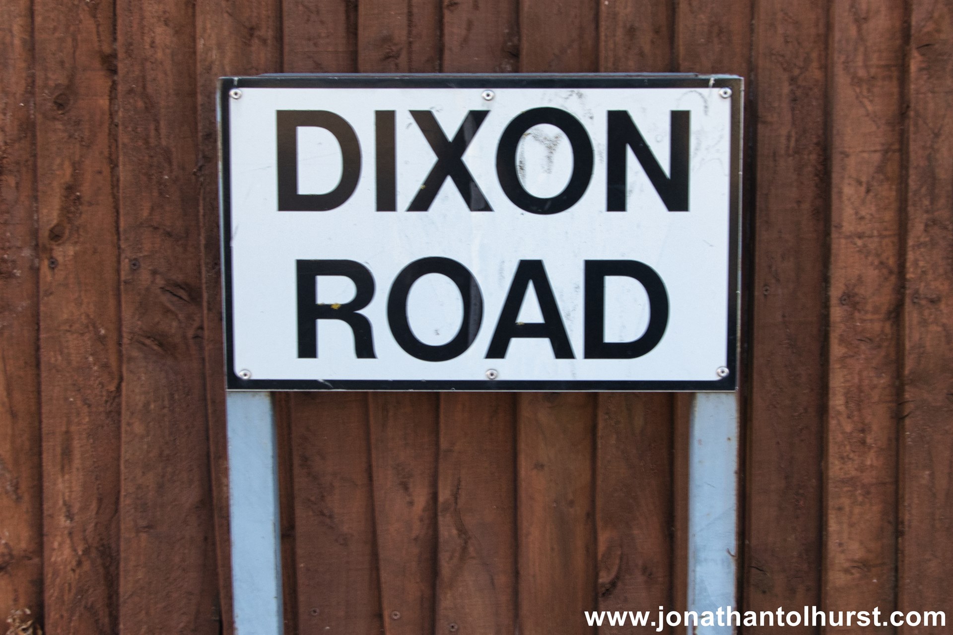
- Dixon Road
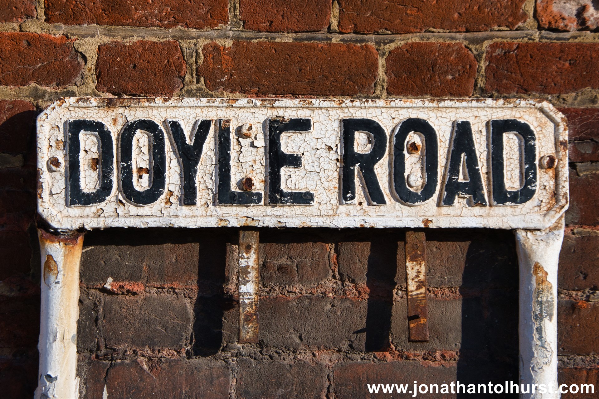
- Doyle Road
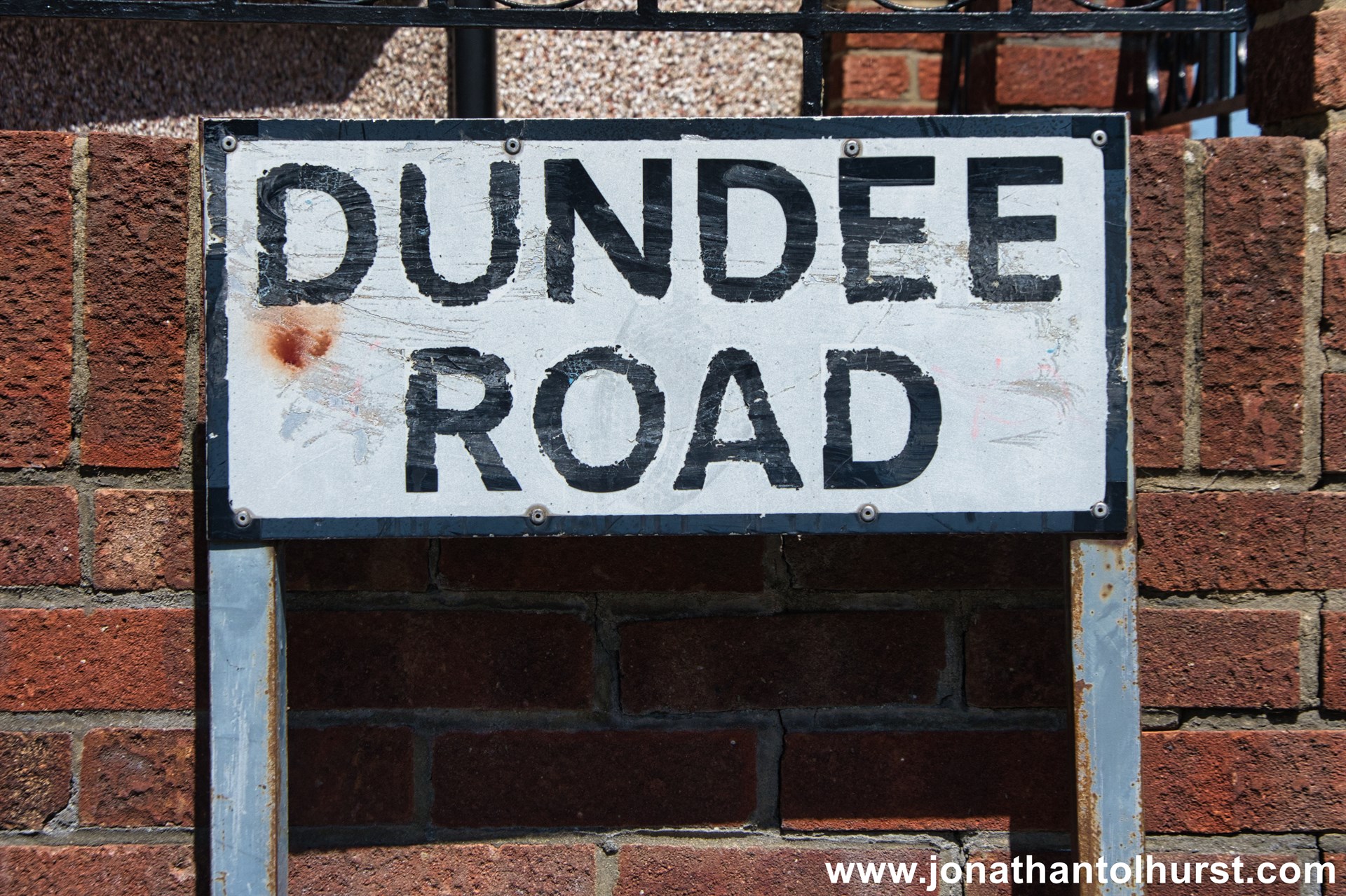
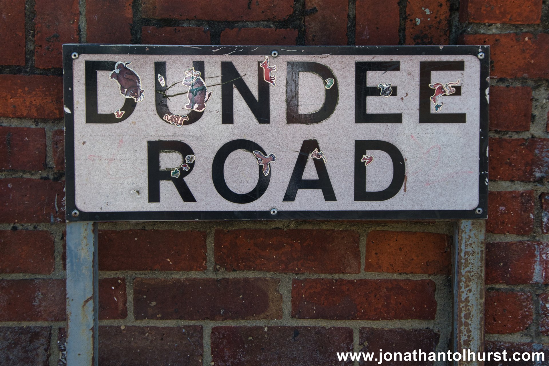
- Dundee Road
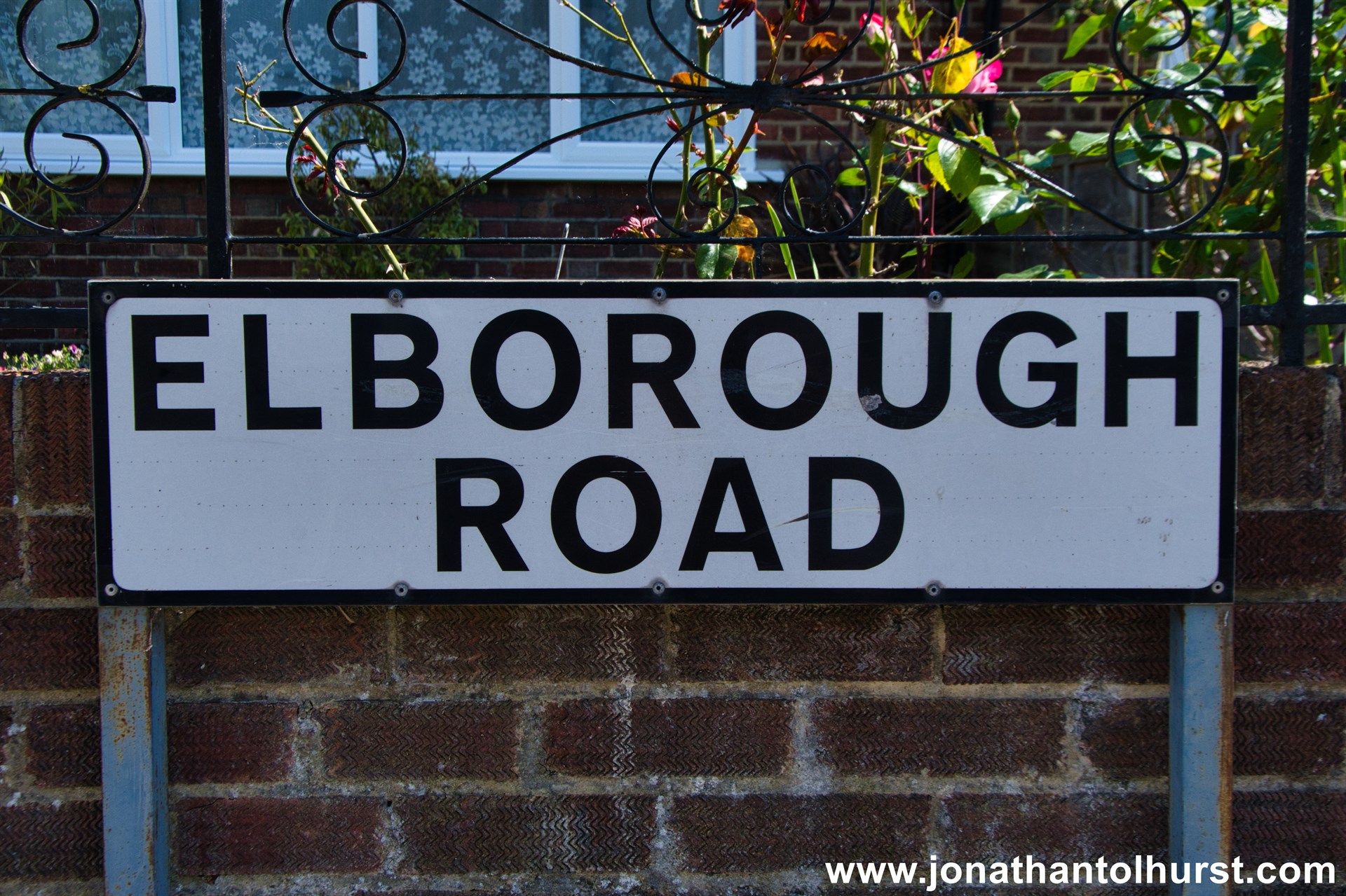
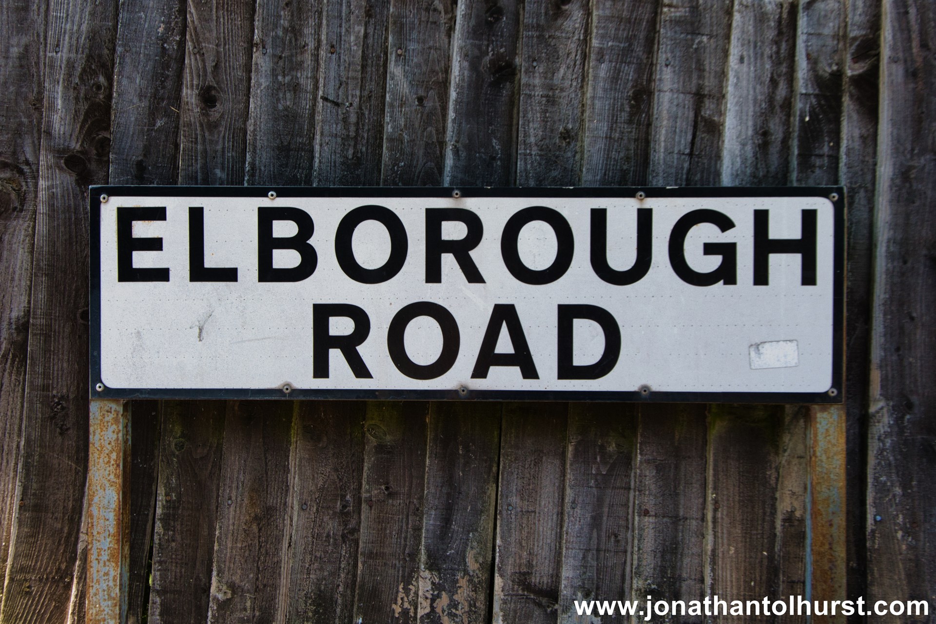
- Elborough Road
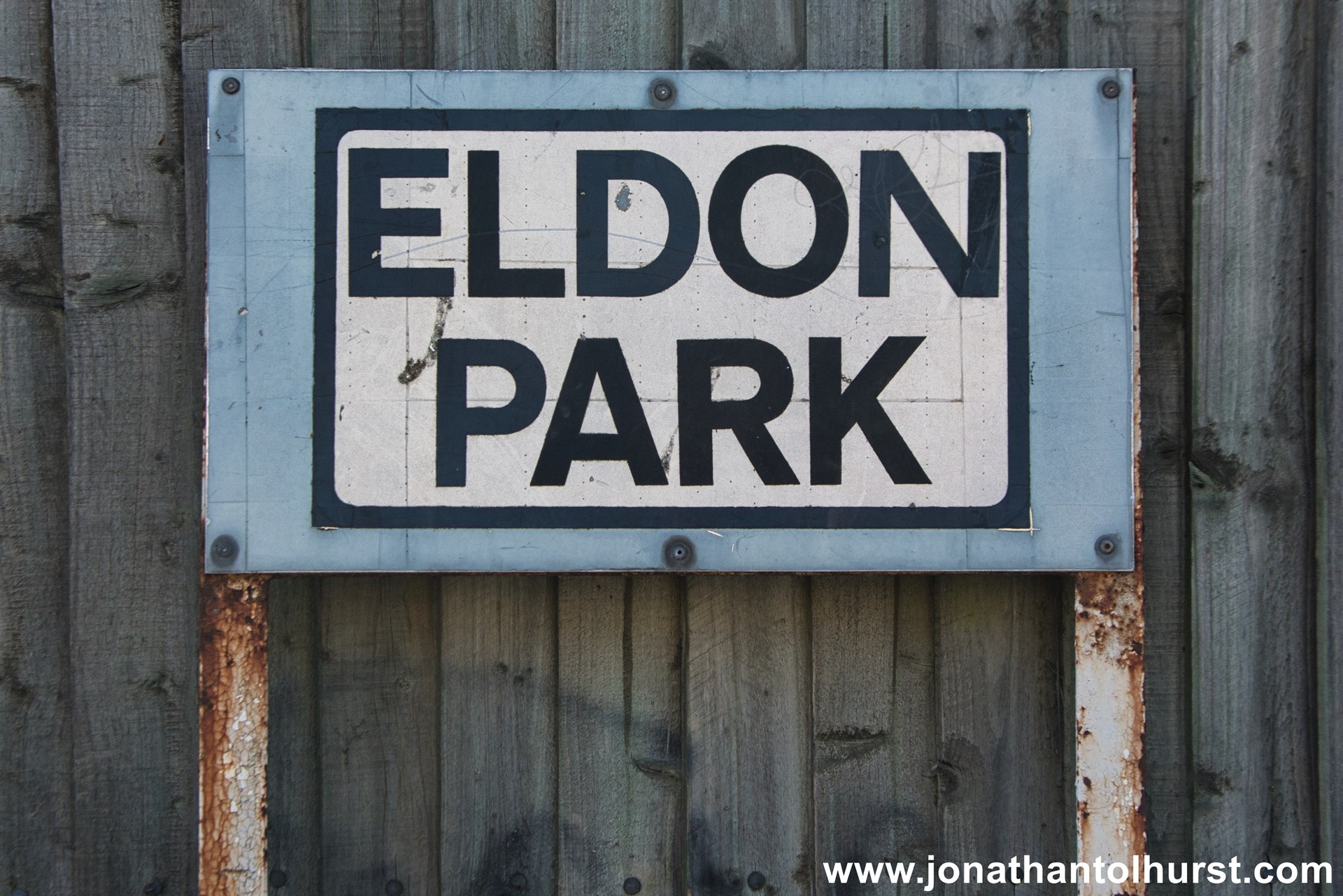
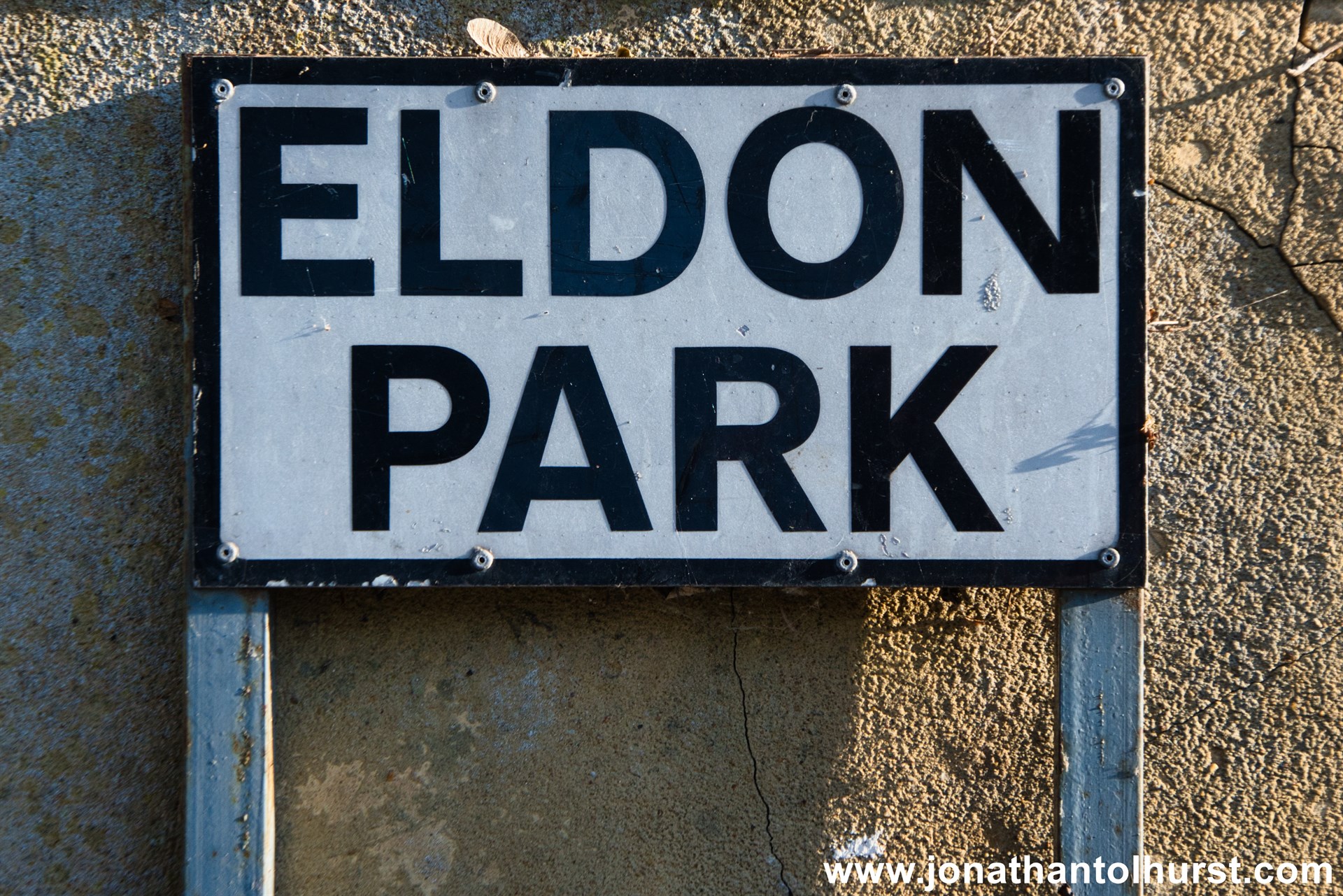
- Eldon Park
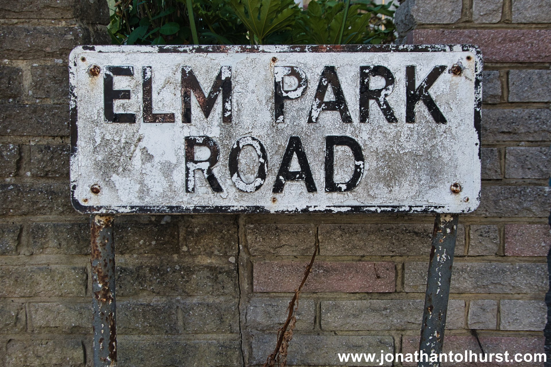
- Elm Park Road
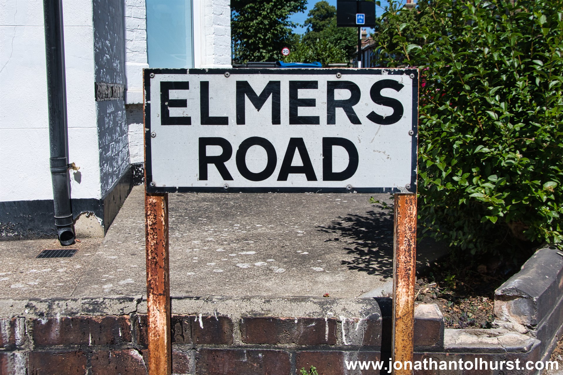
- Elmers Road
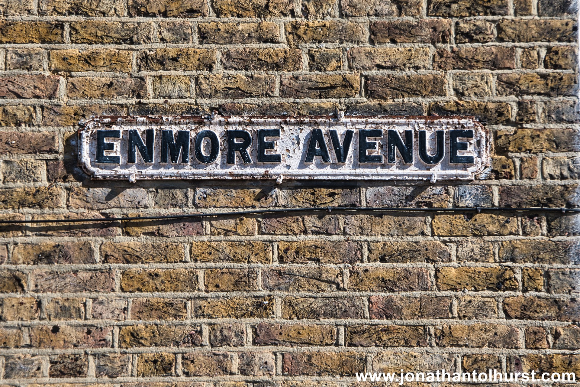
- Enmore Avenue
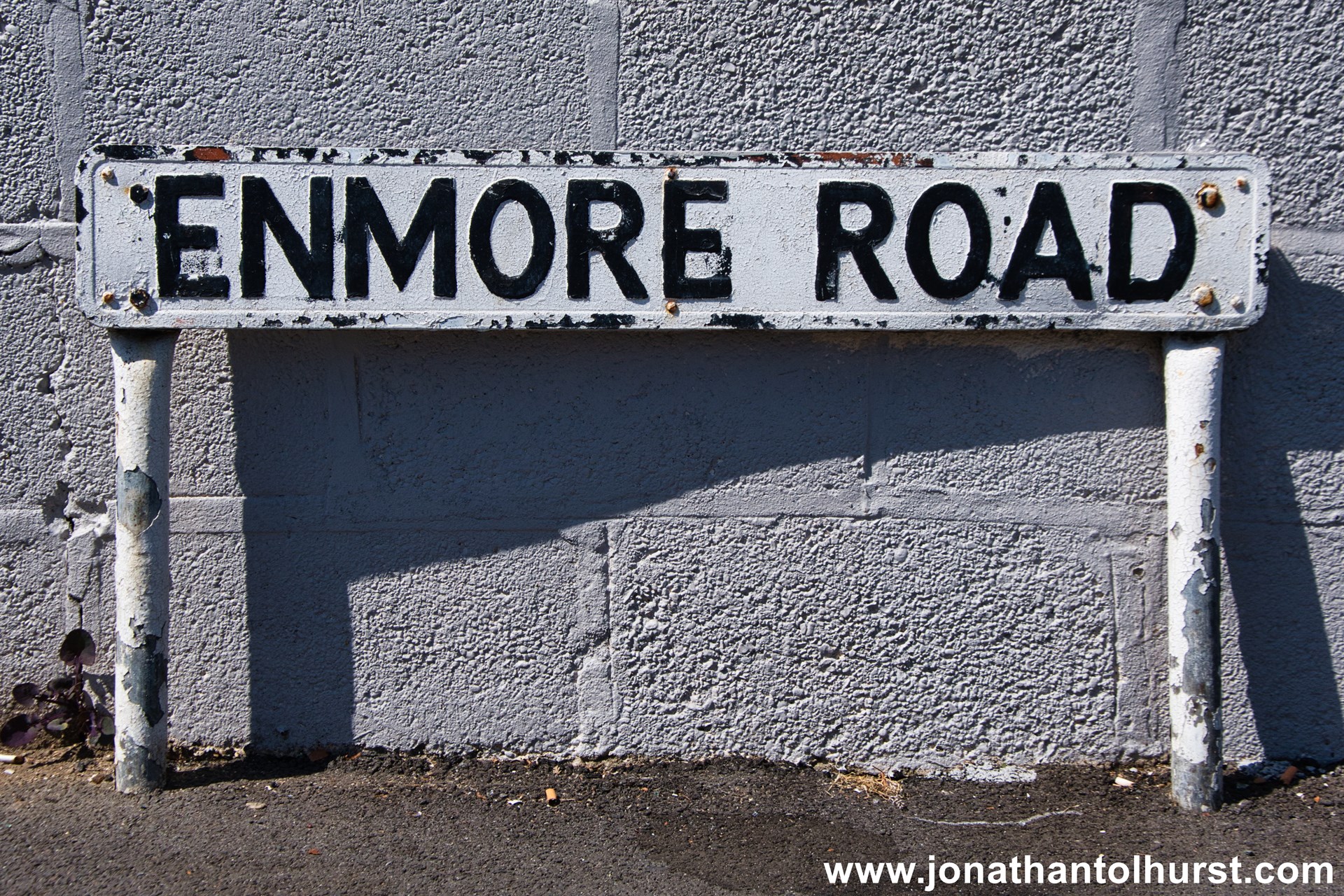
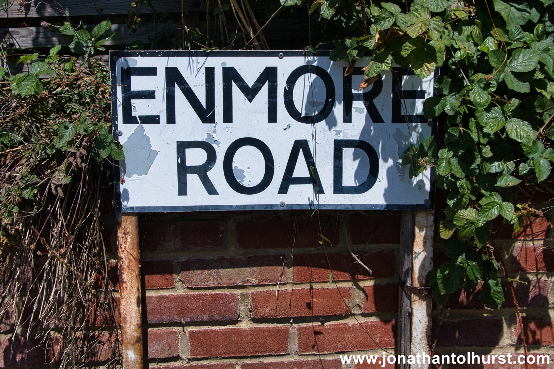
- Enmore Road
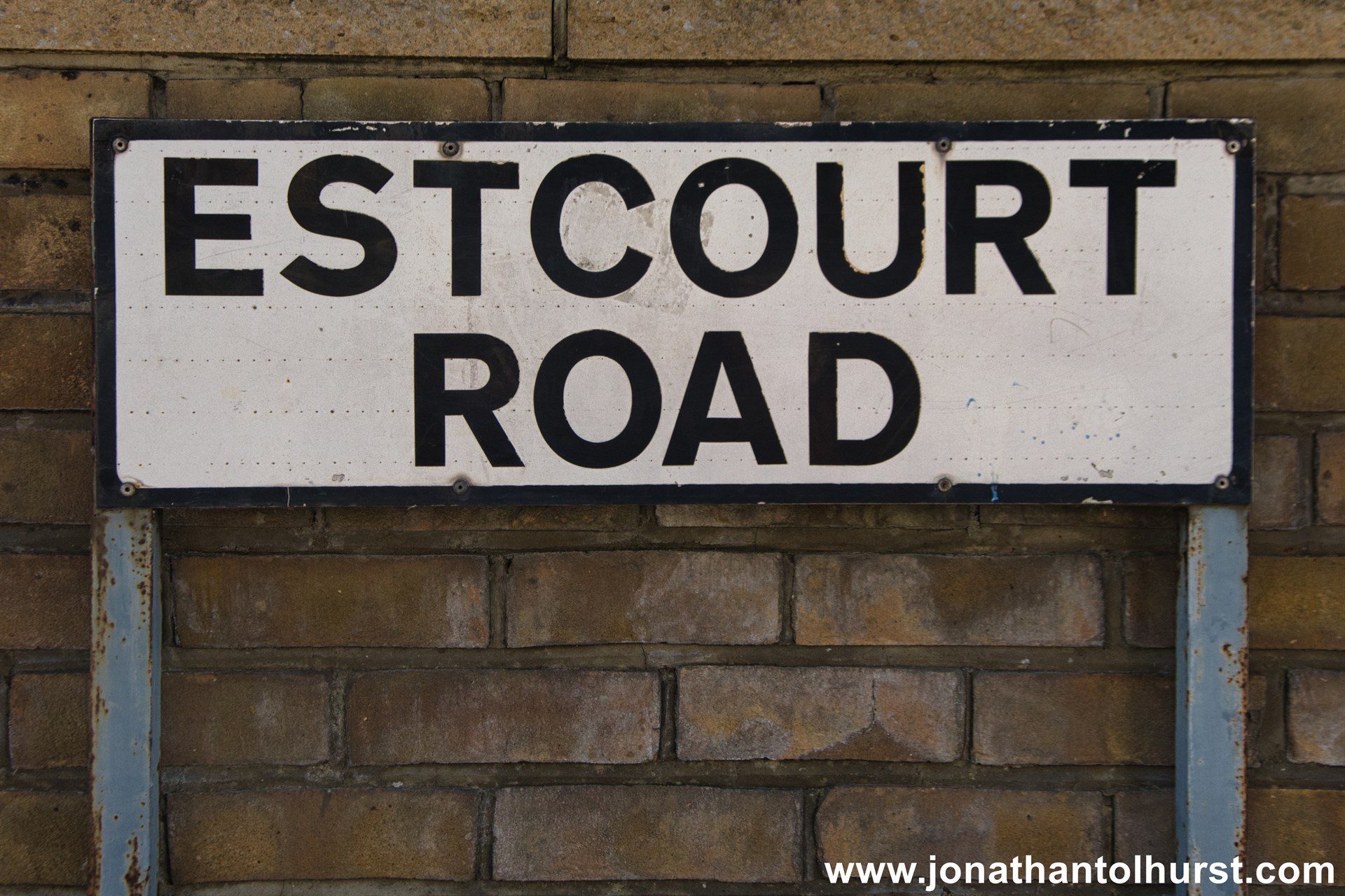
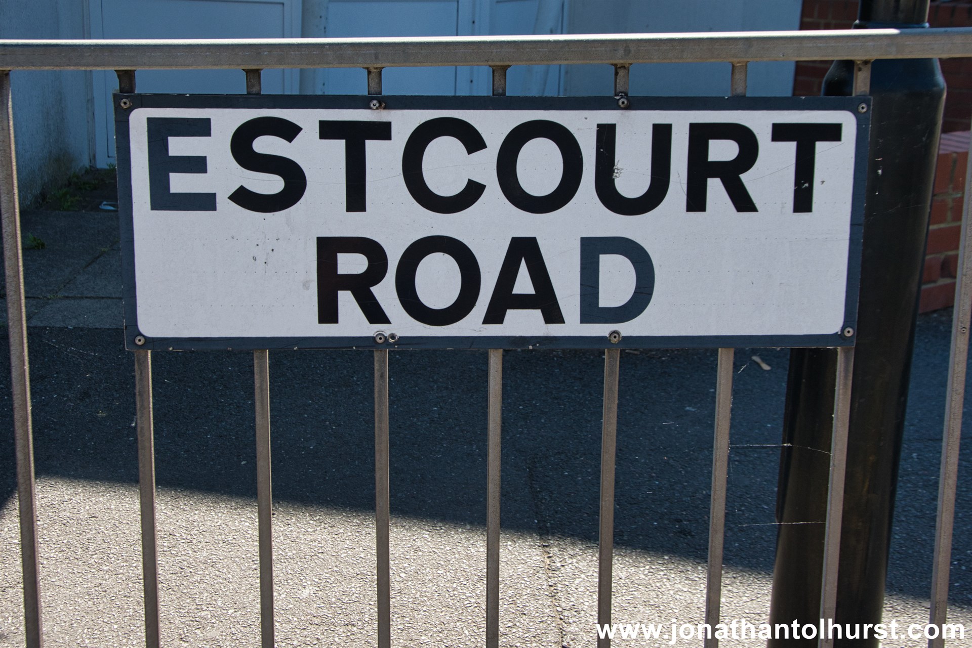
- Estcourt Road
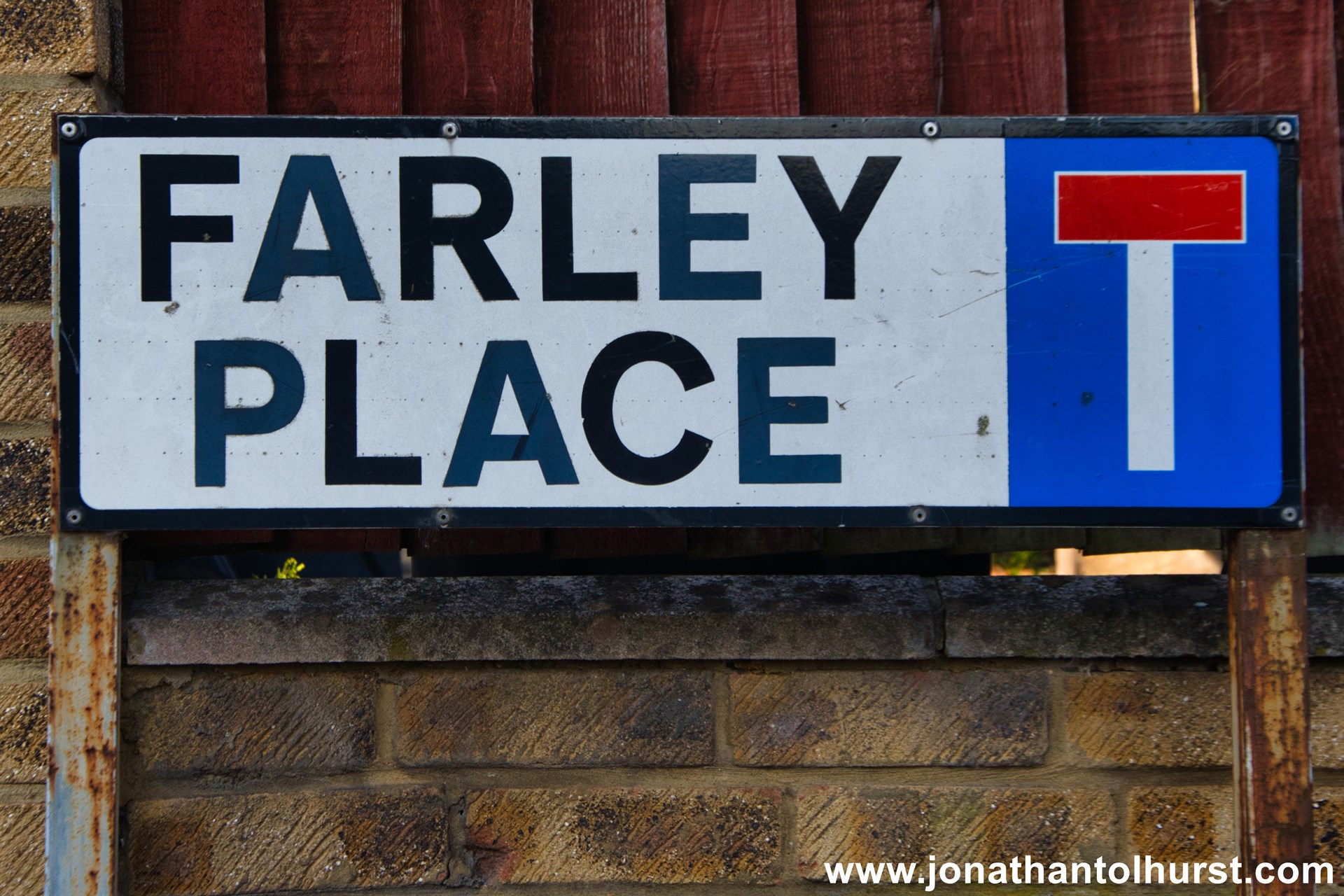
- Farley Place
- Farnely Road
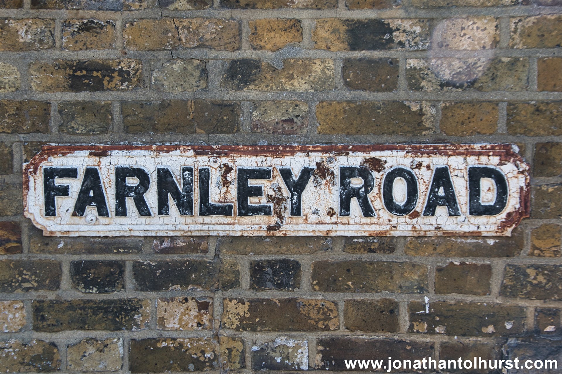
- Farnley Road
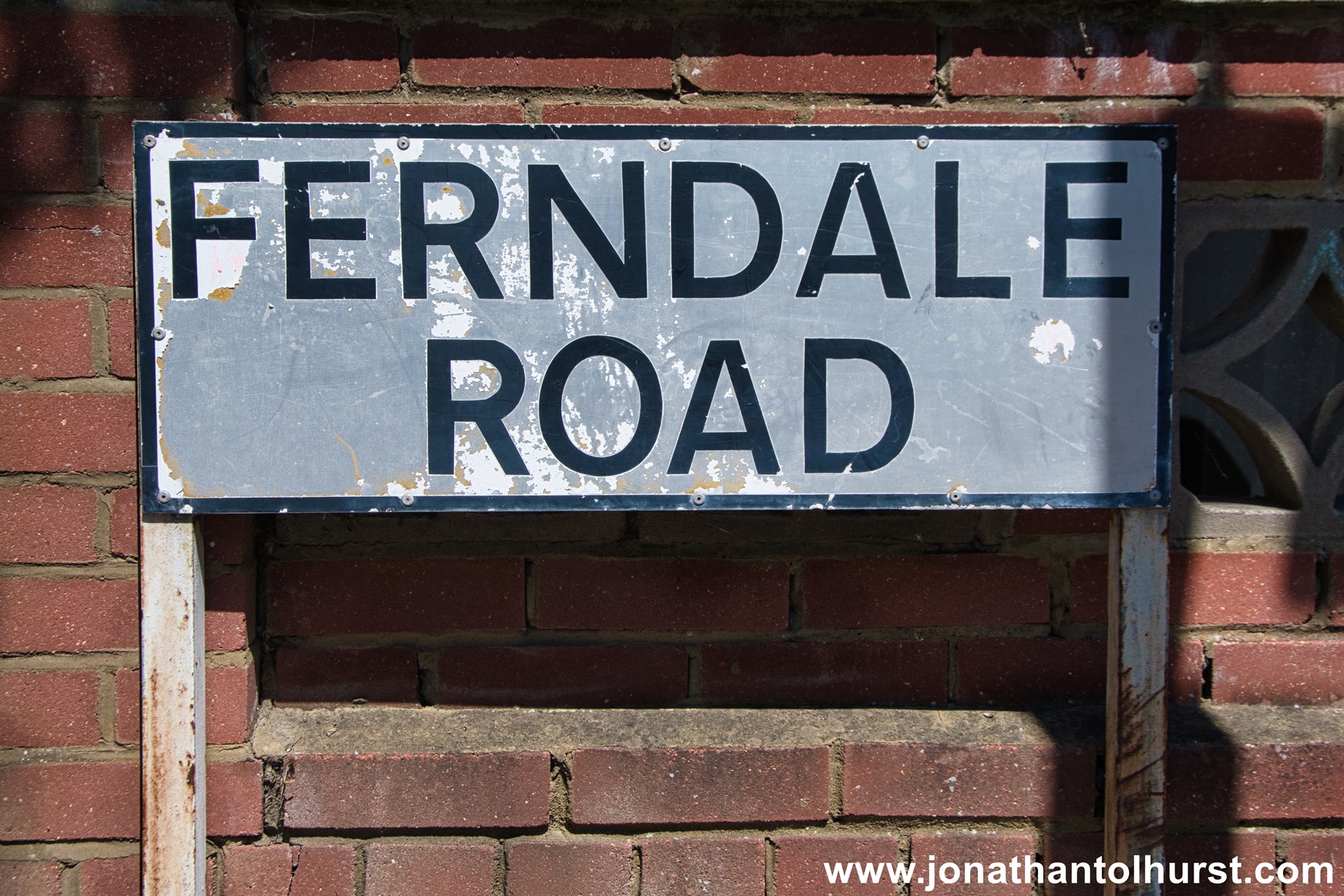
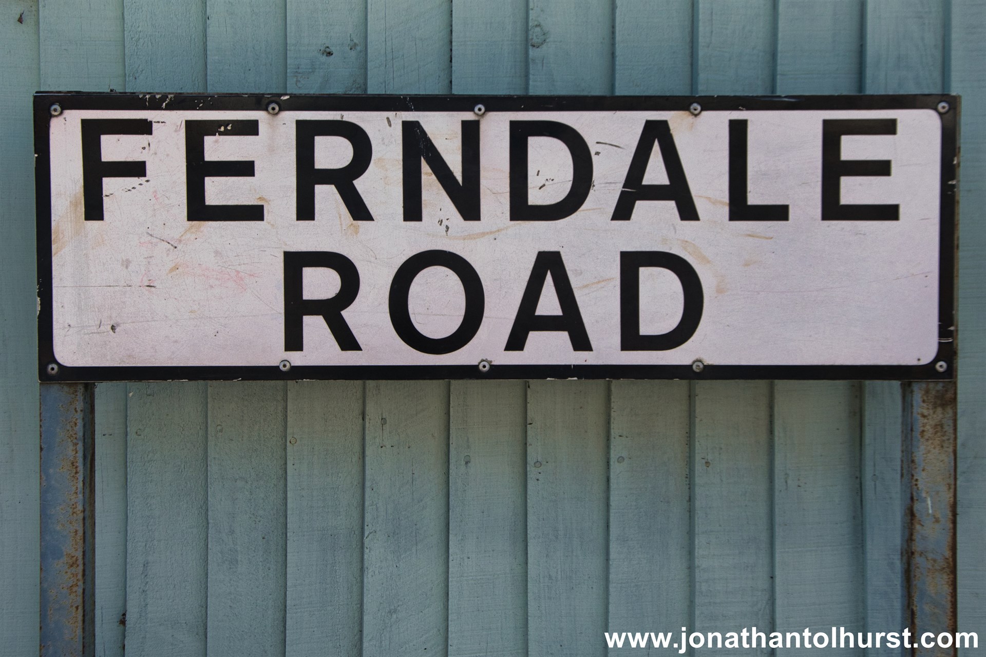
- Ferndale Road
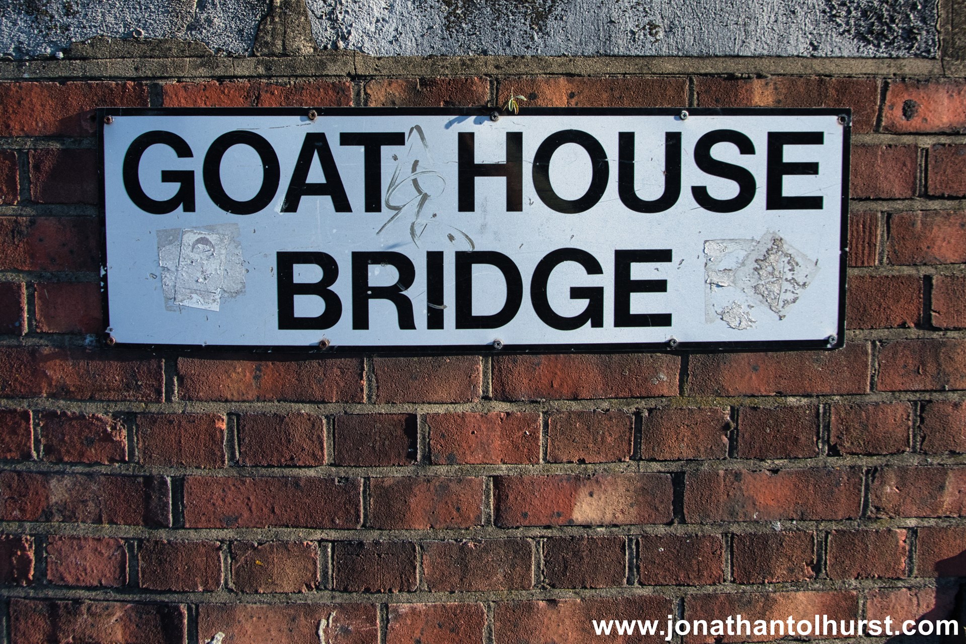
- Goat House Bridge
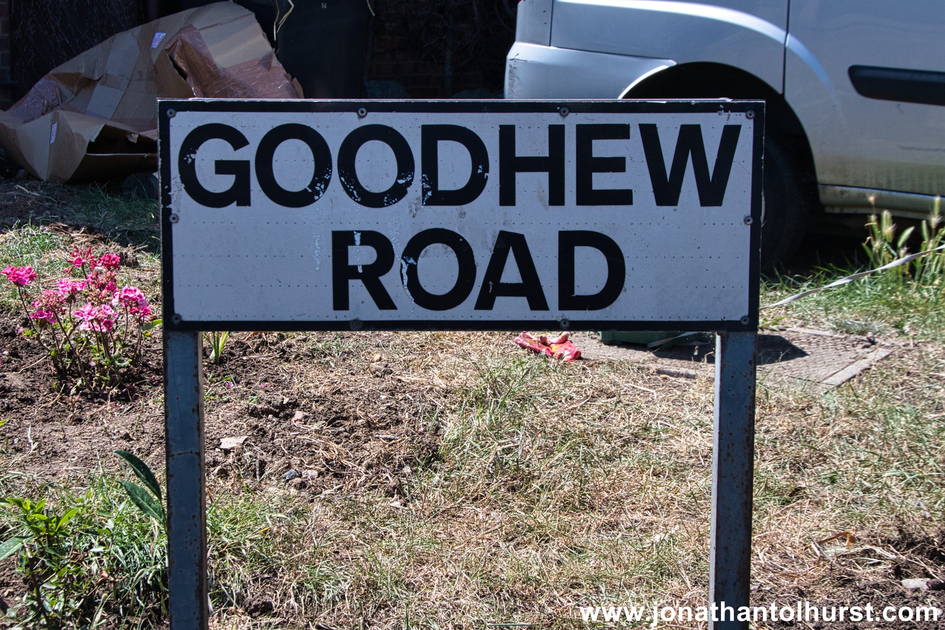
- Goodhew Road
- Greenmead Close
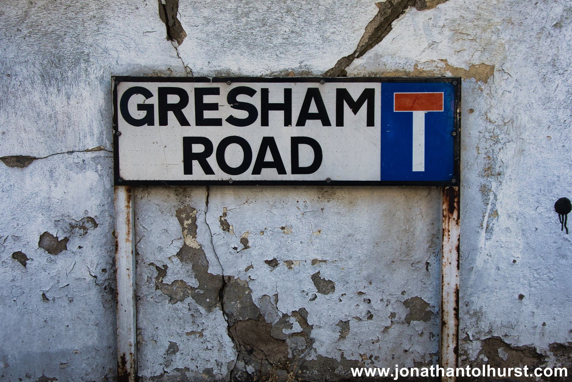
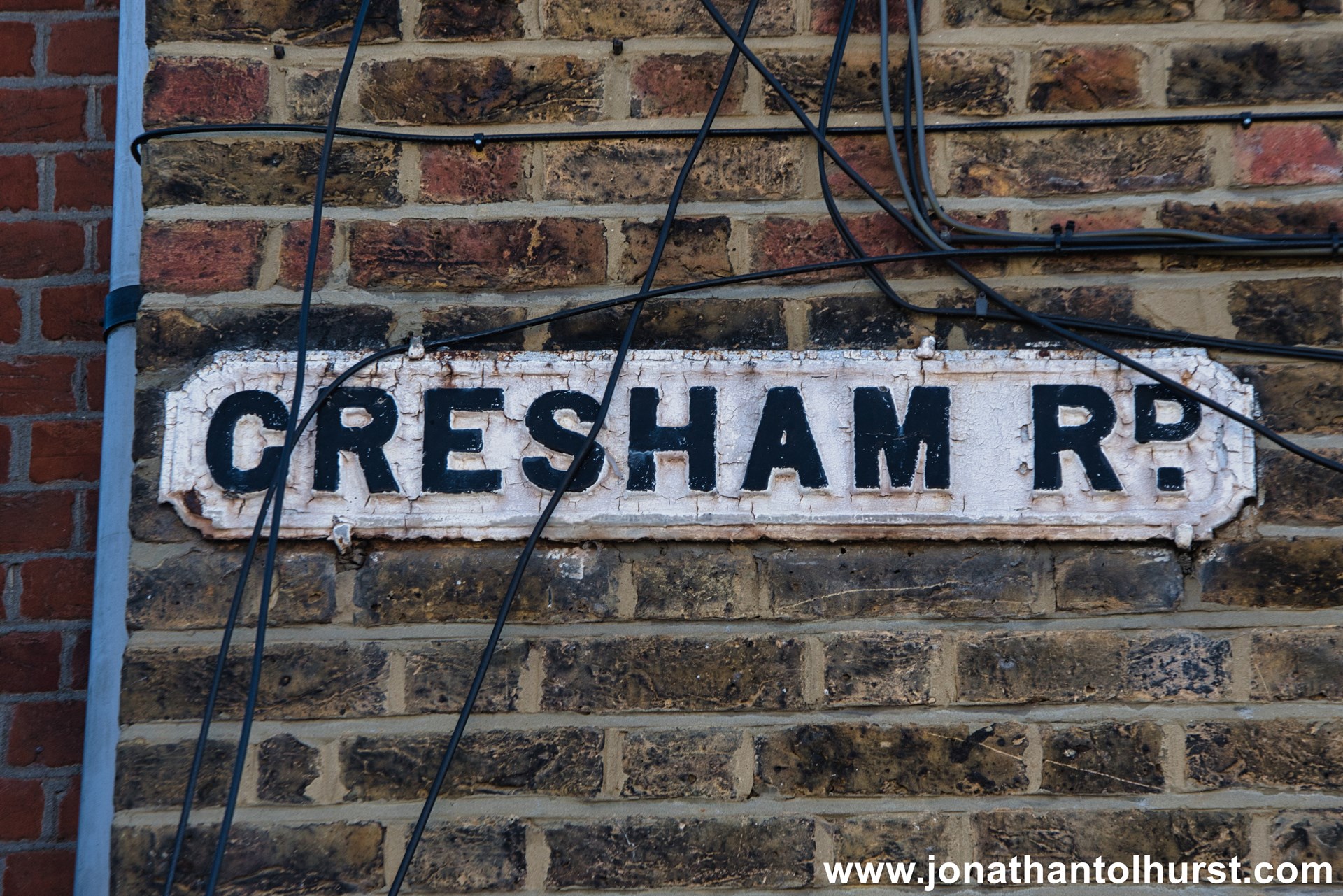
- Gresham Road
- Grindley Gardens
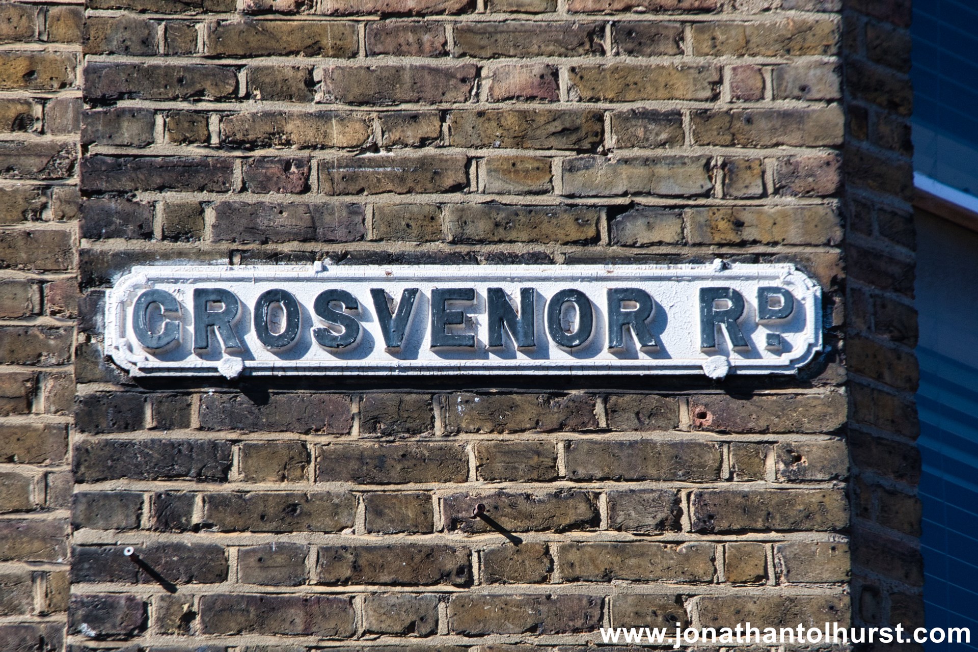
- Grosvenor Road
- Gunnell Close
- Hambledon Gardens
- Hambrook Road
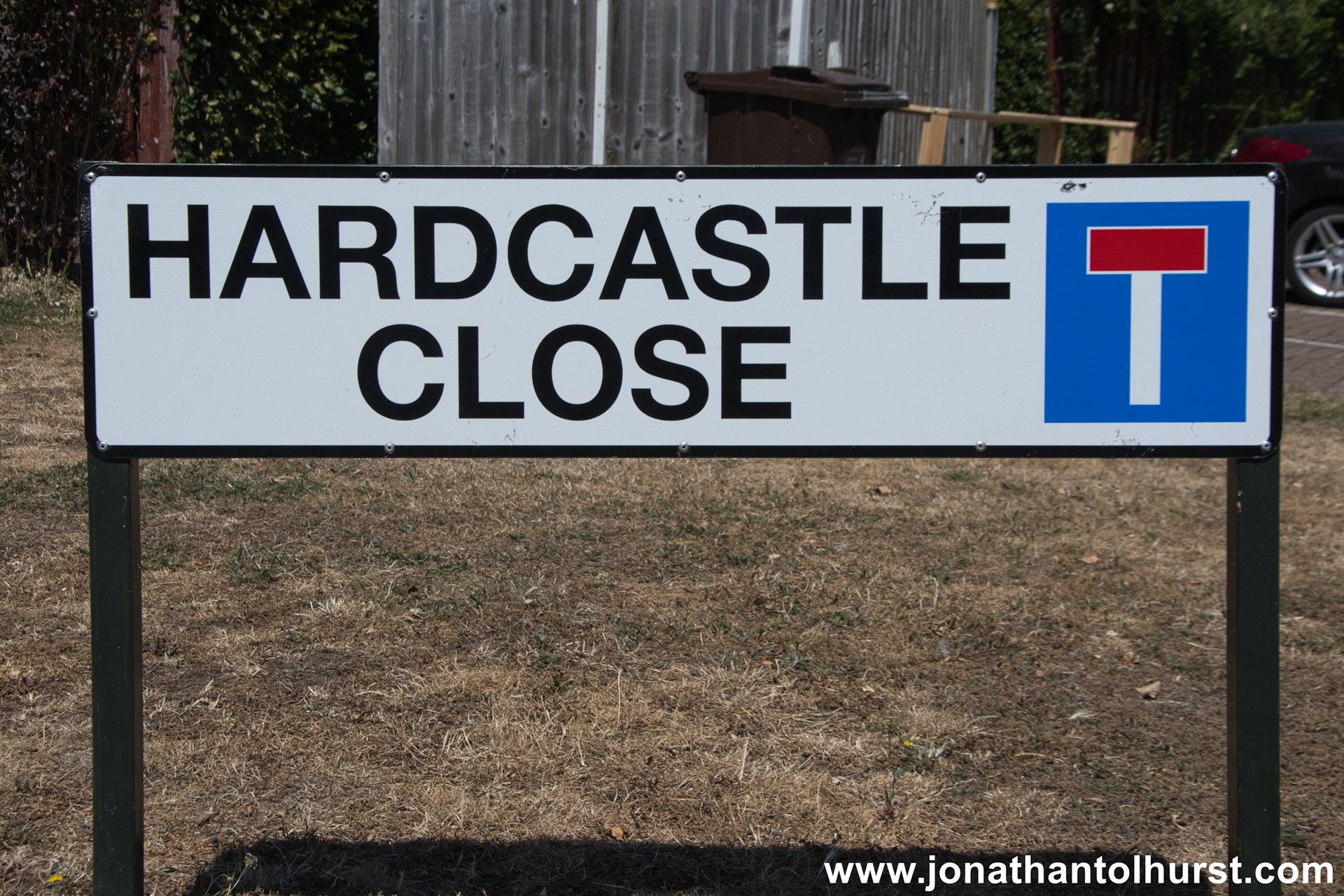
- Hardcastle Close
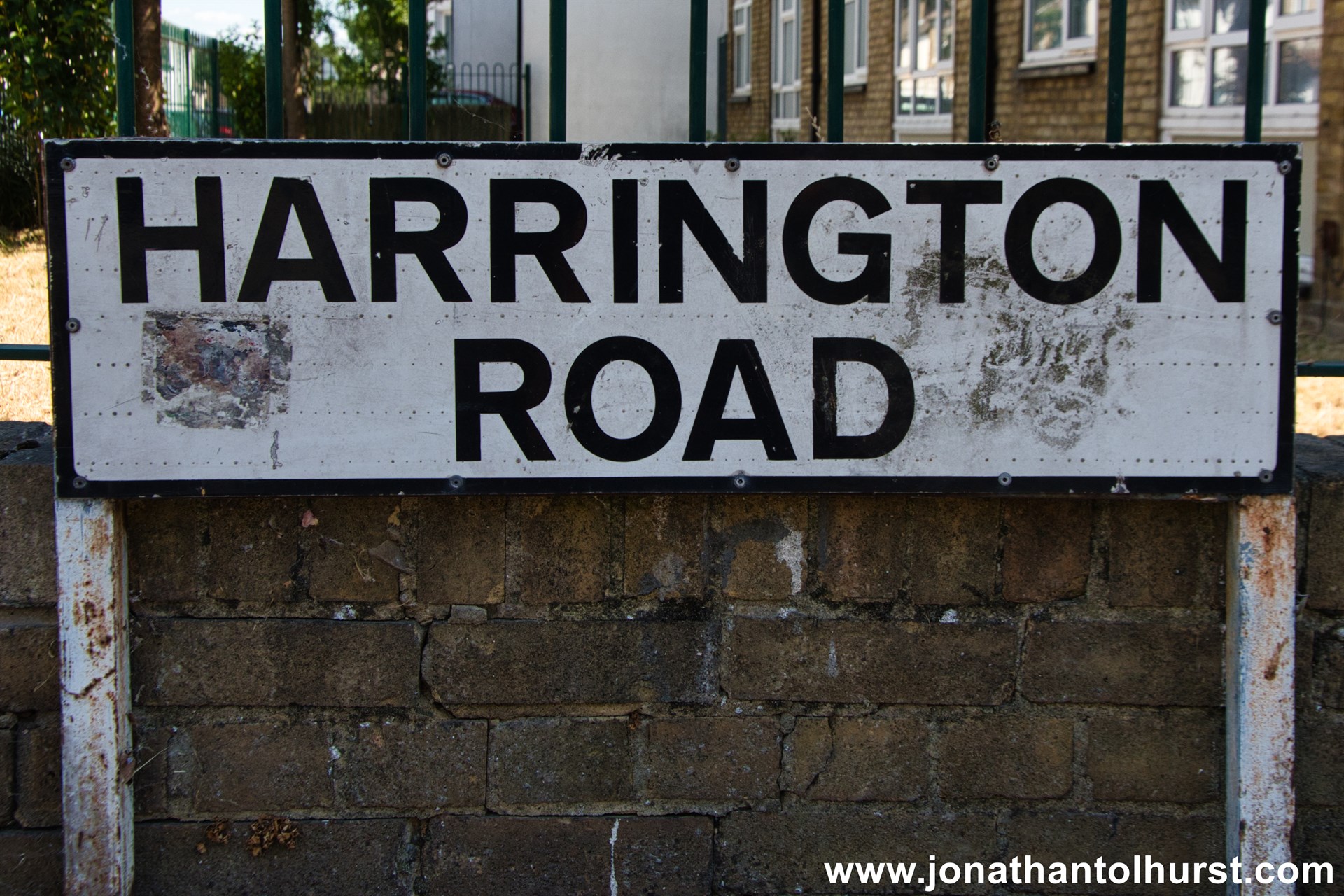
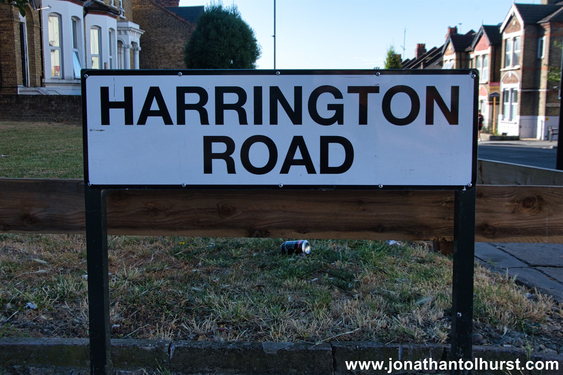
- Harrington Road
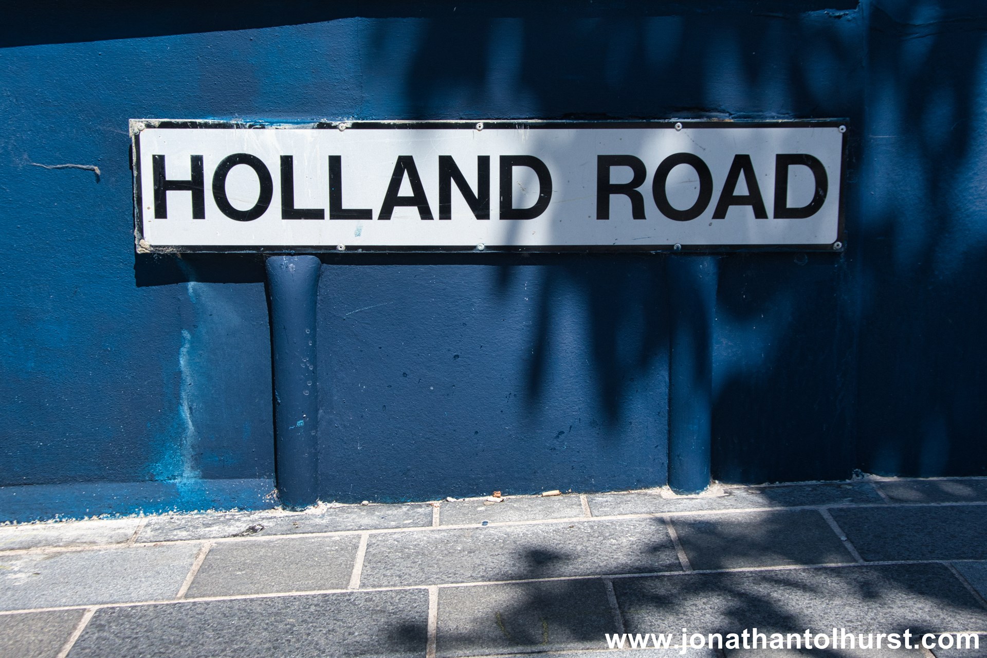
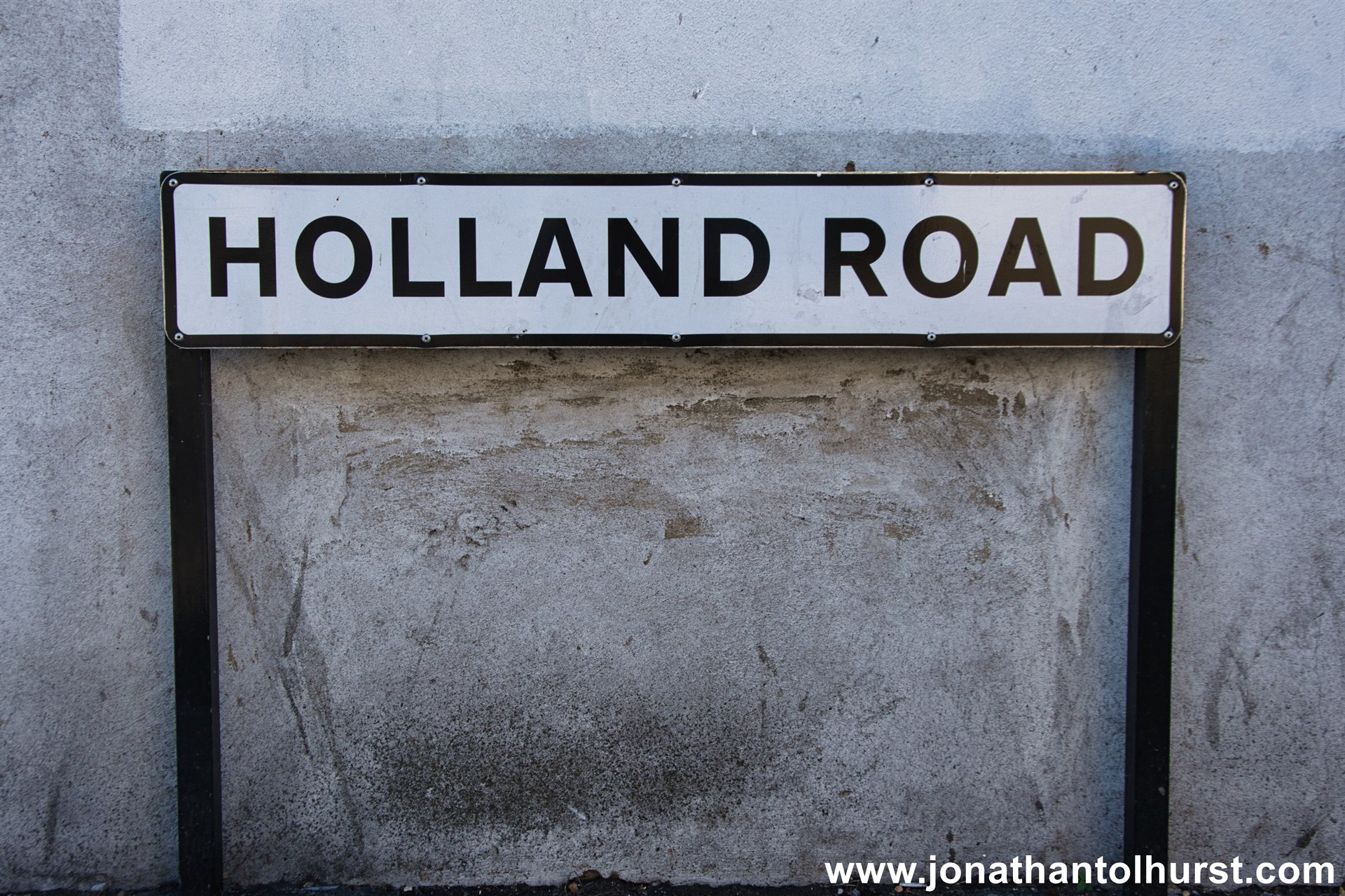
- Holland Road
- Holmesdale Close
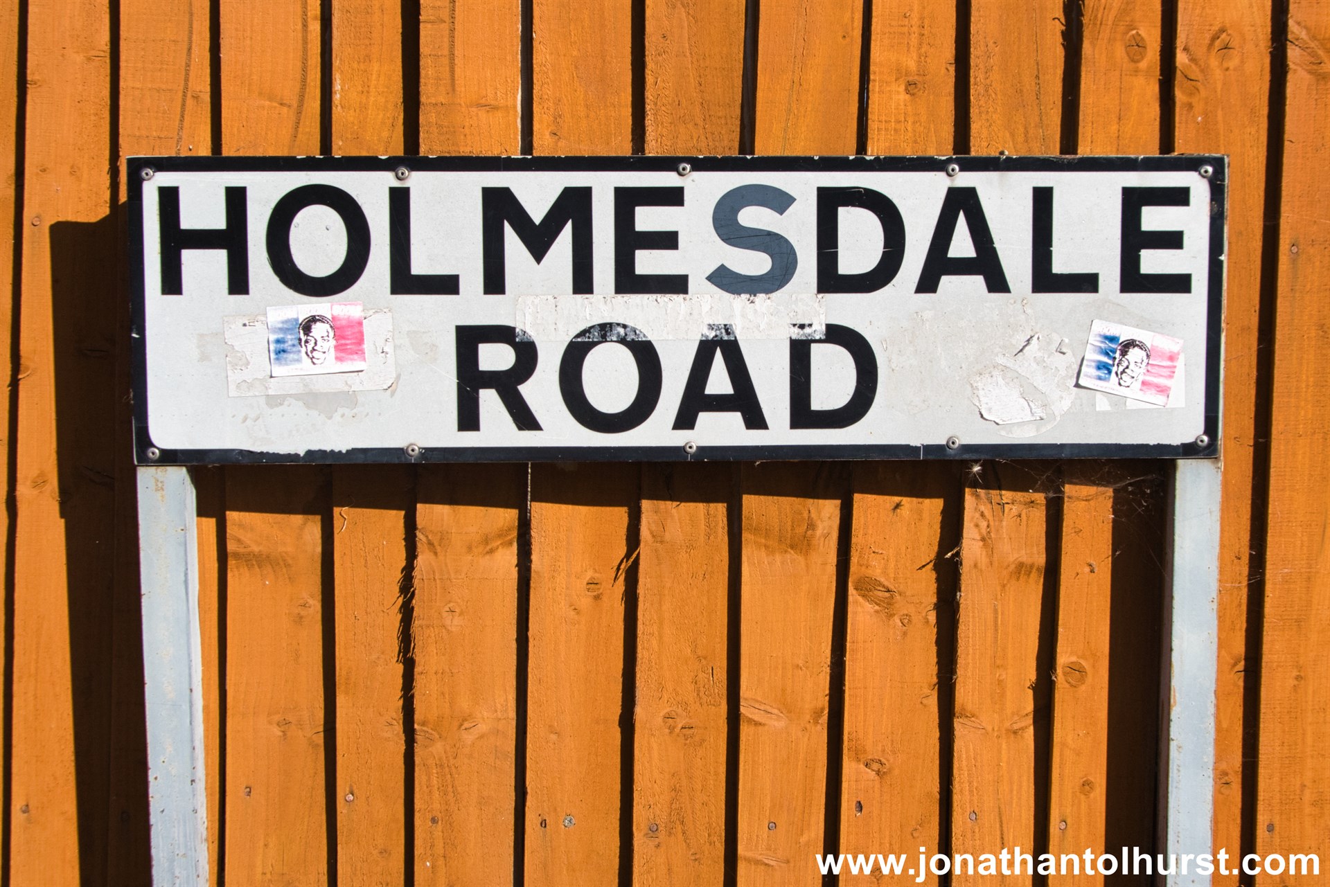
- Holmesdale Road
- Holmewood Road
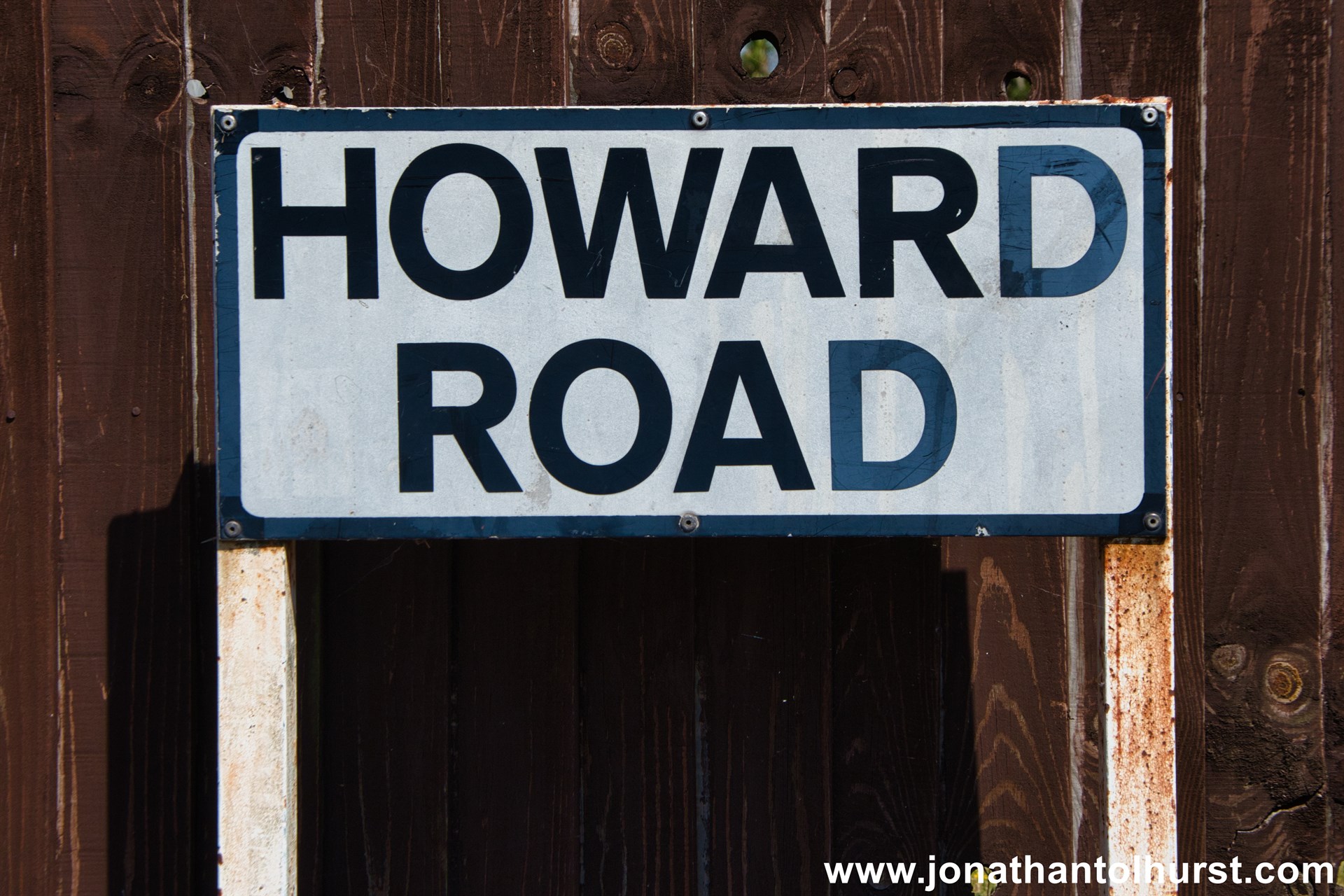
- Howard Road
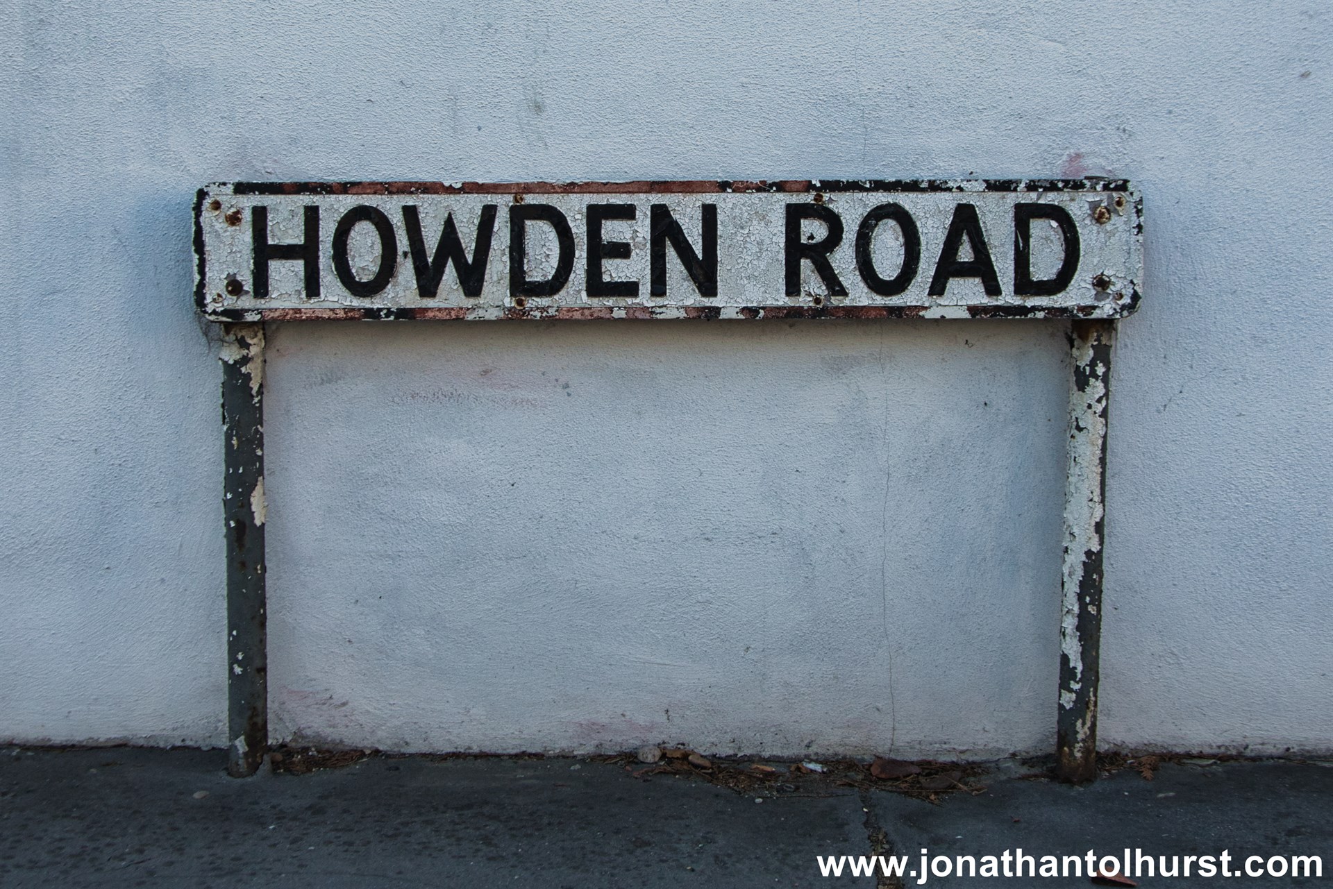
- Howden Road
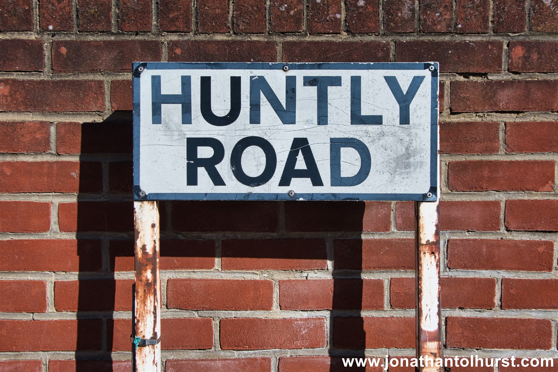
- Huntley Road
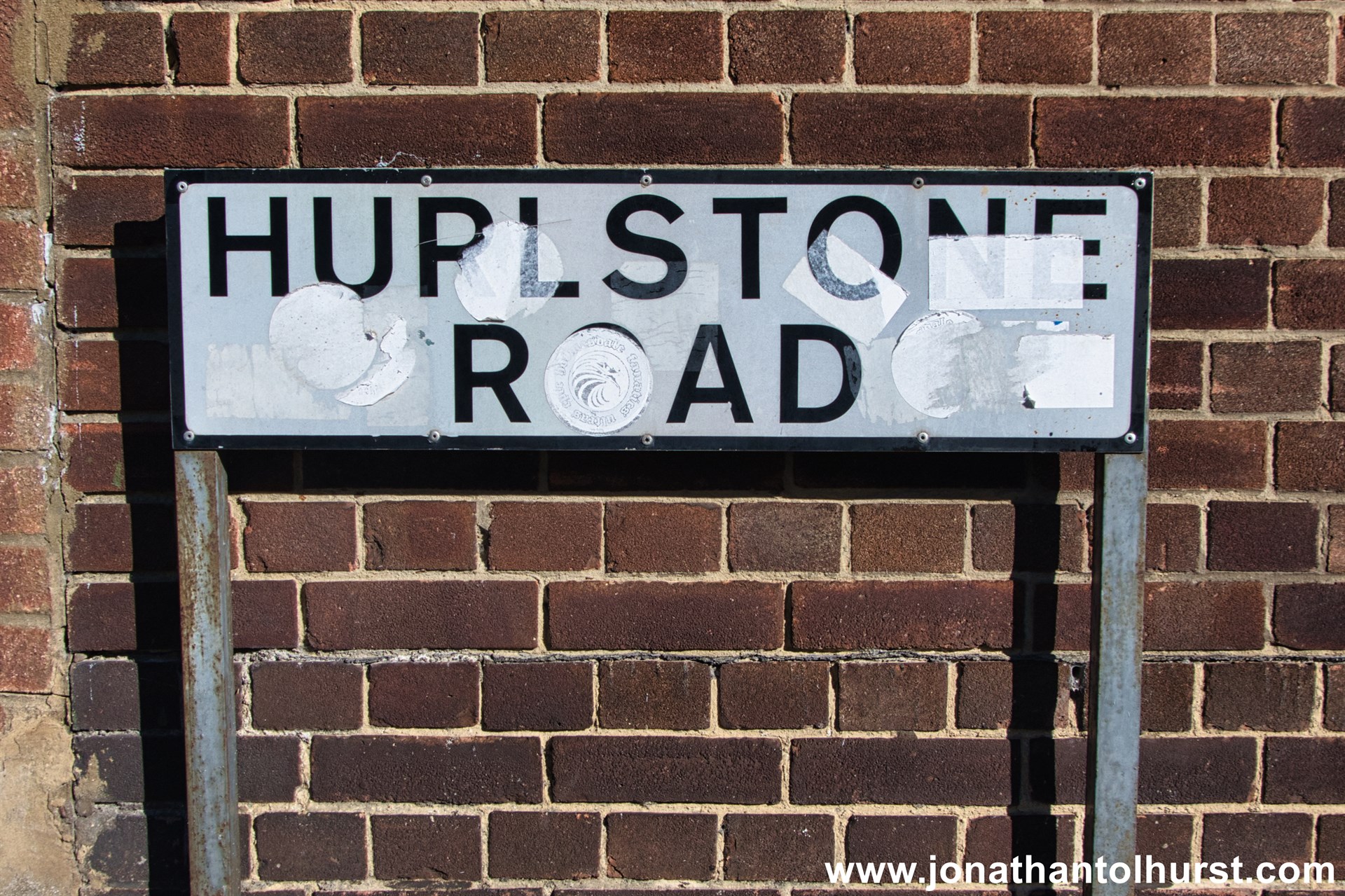
- Hurlestone Road
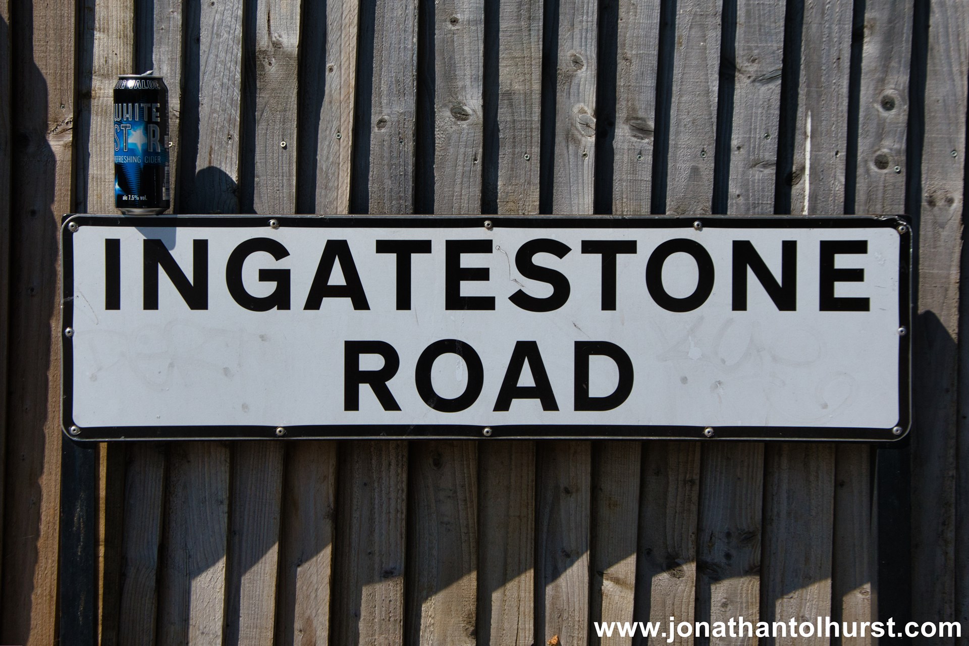
- Ingatestone Road
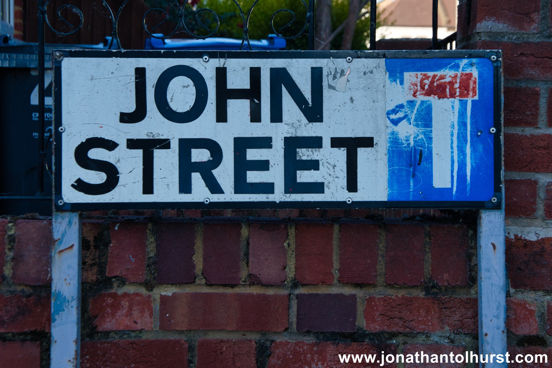
- John Street
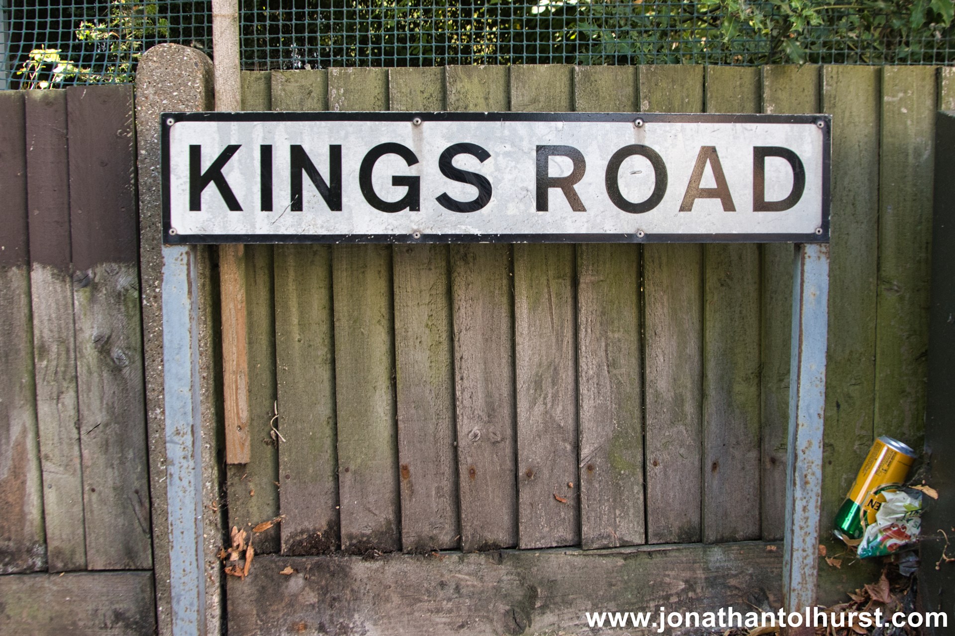
- Kings Road
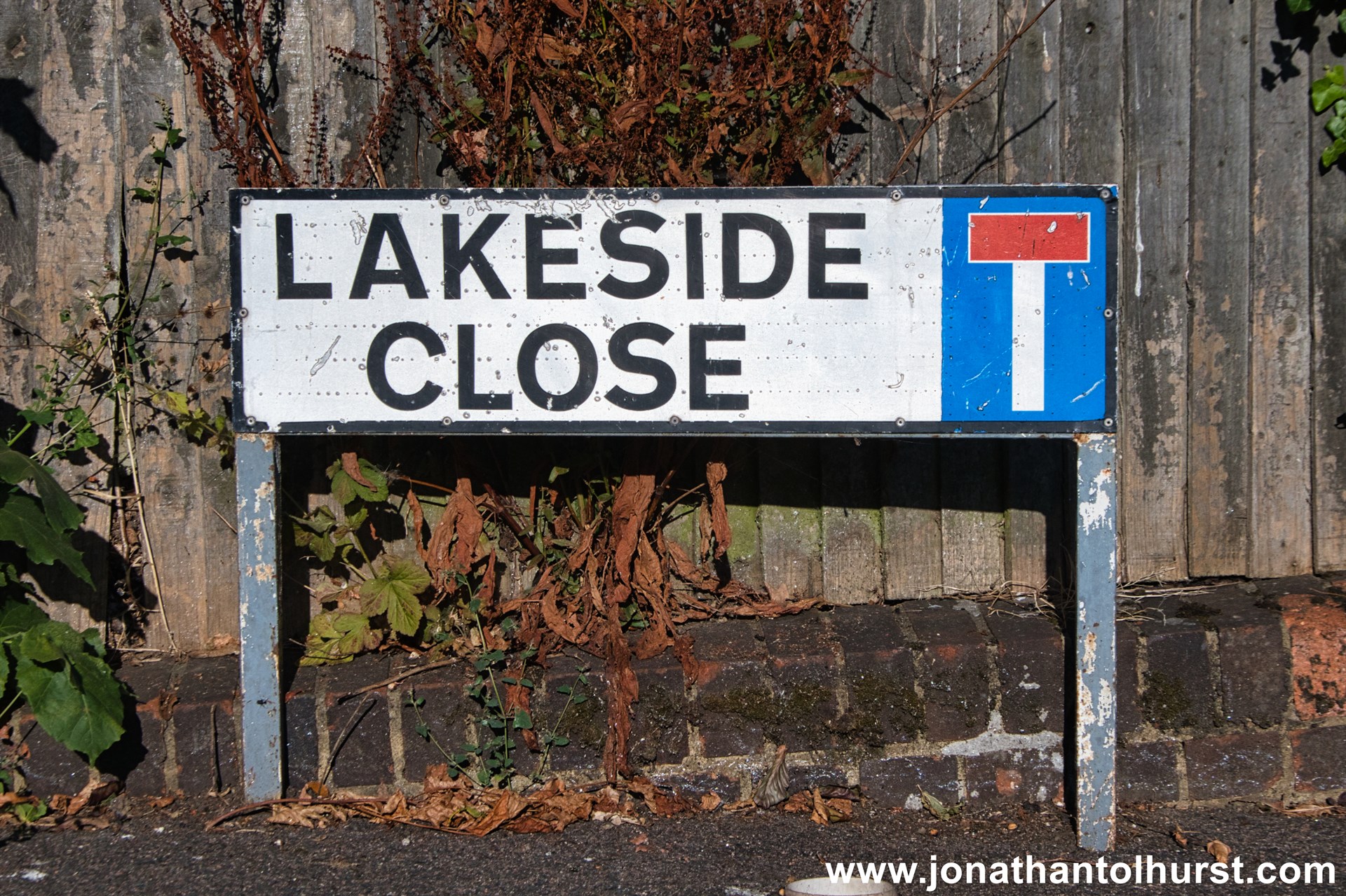
- Lakeside Close
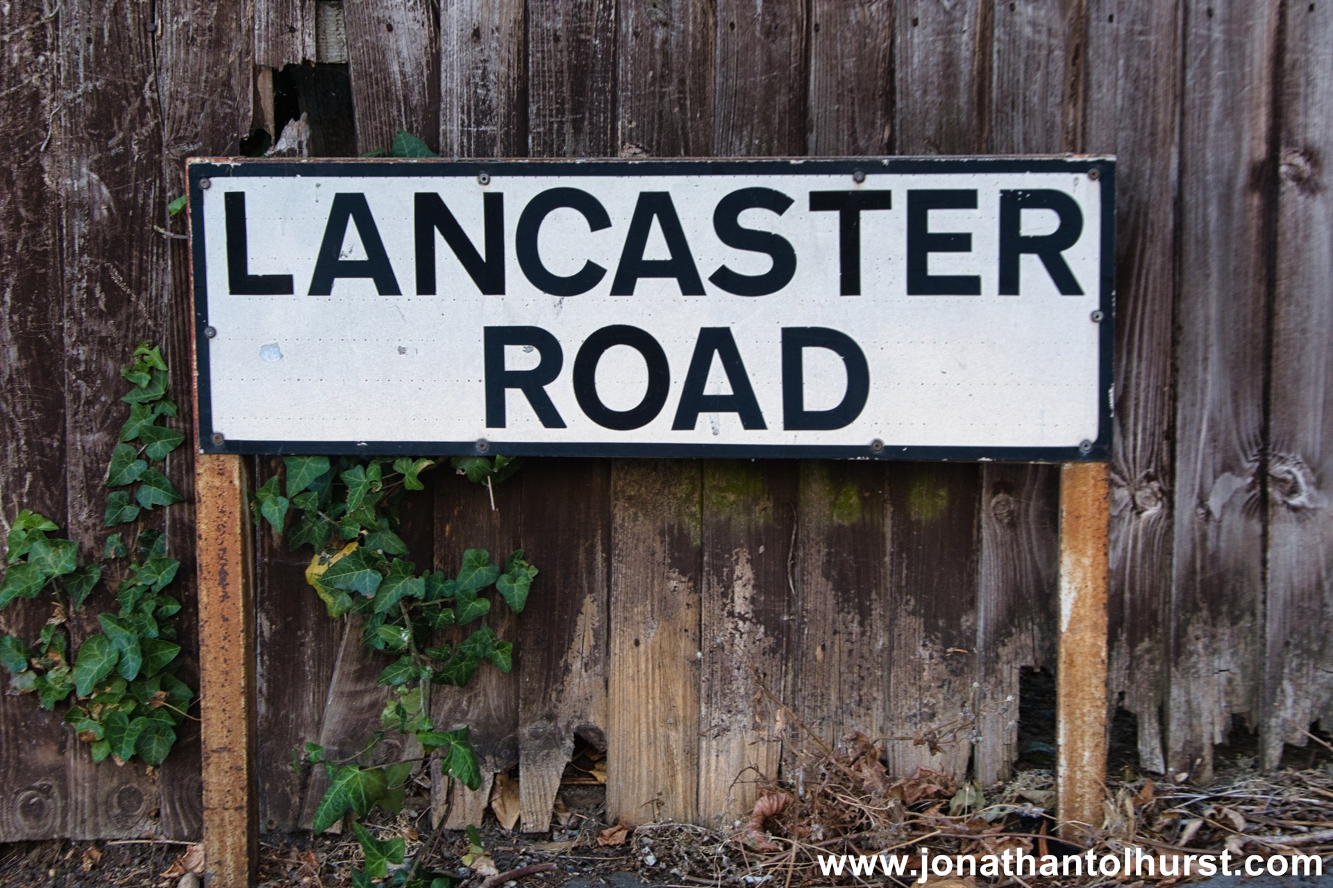
- Lancaster Road
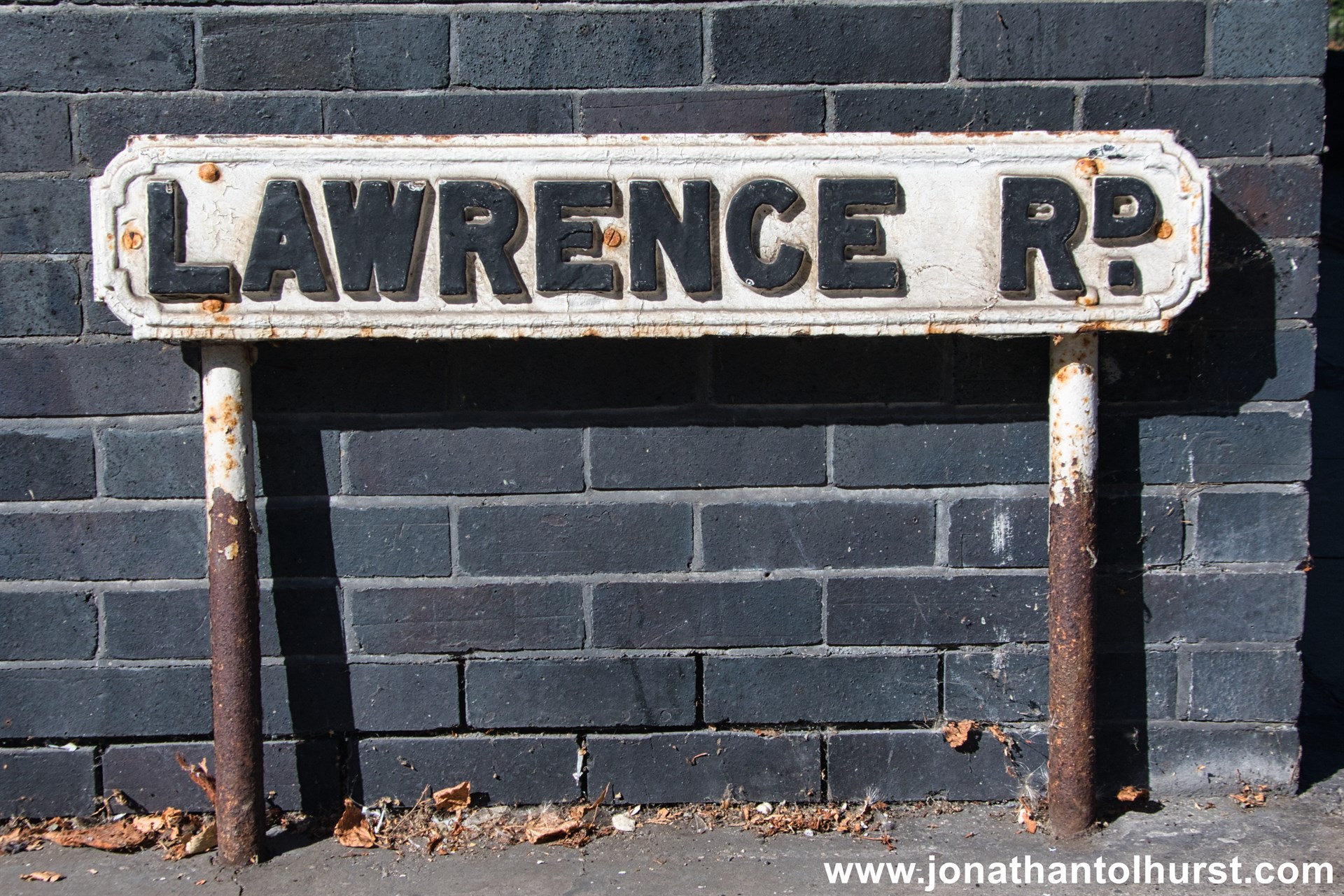
- Lawrence Road
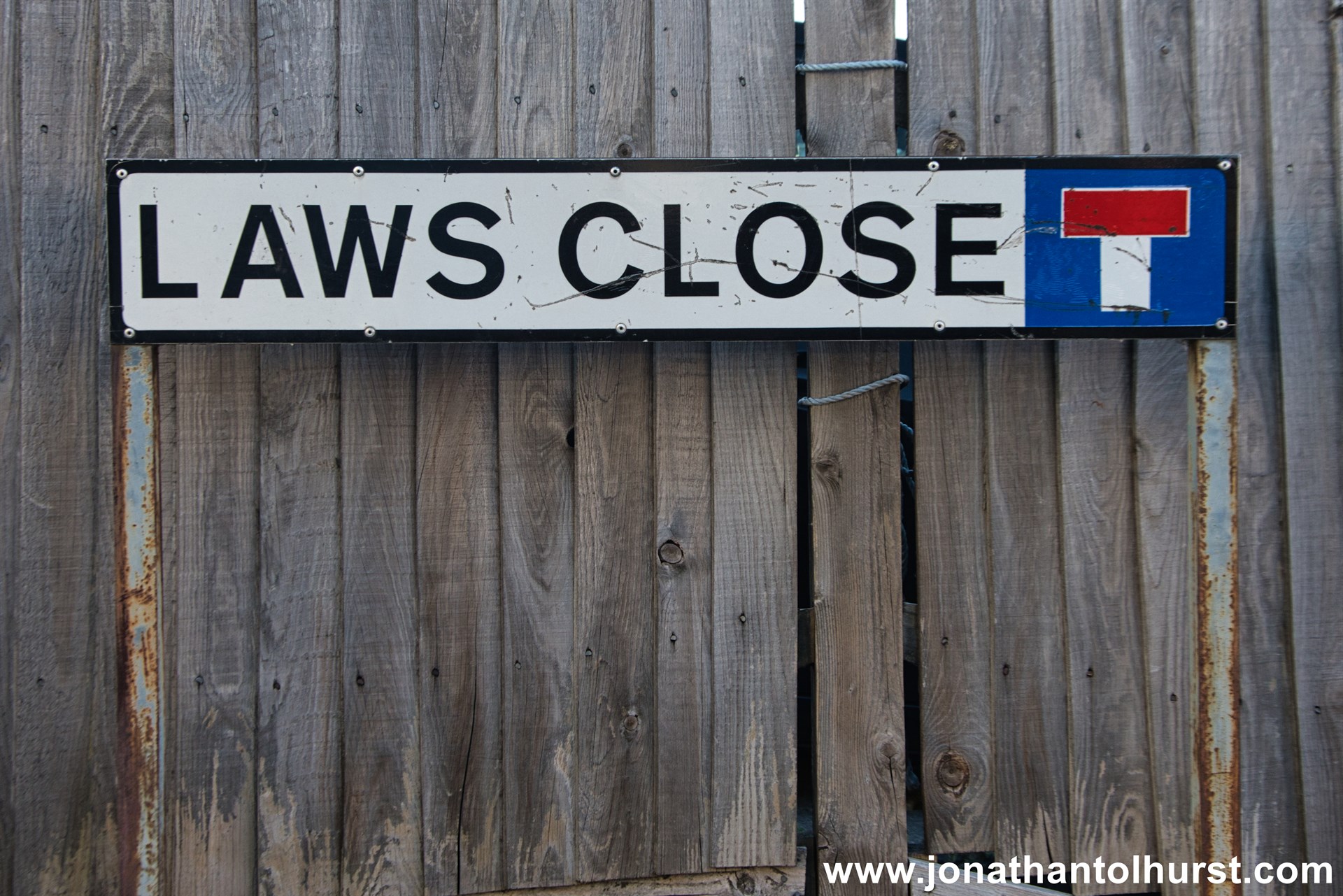
- Laws Close
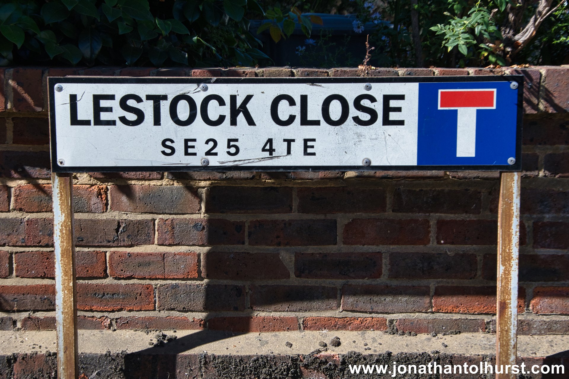
- Lestock Close
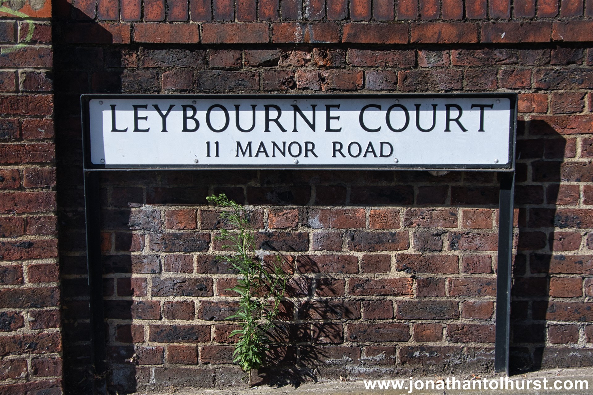
- Leybourne Court
- Lincoln Close
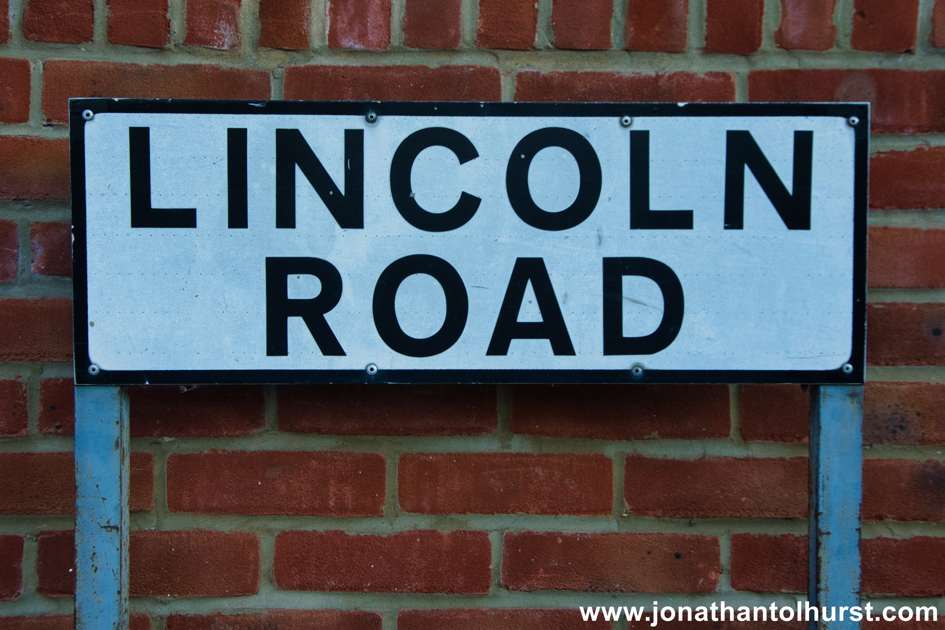
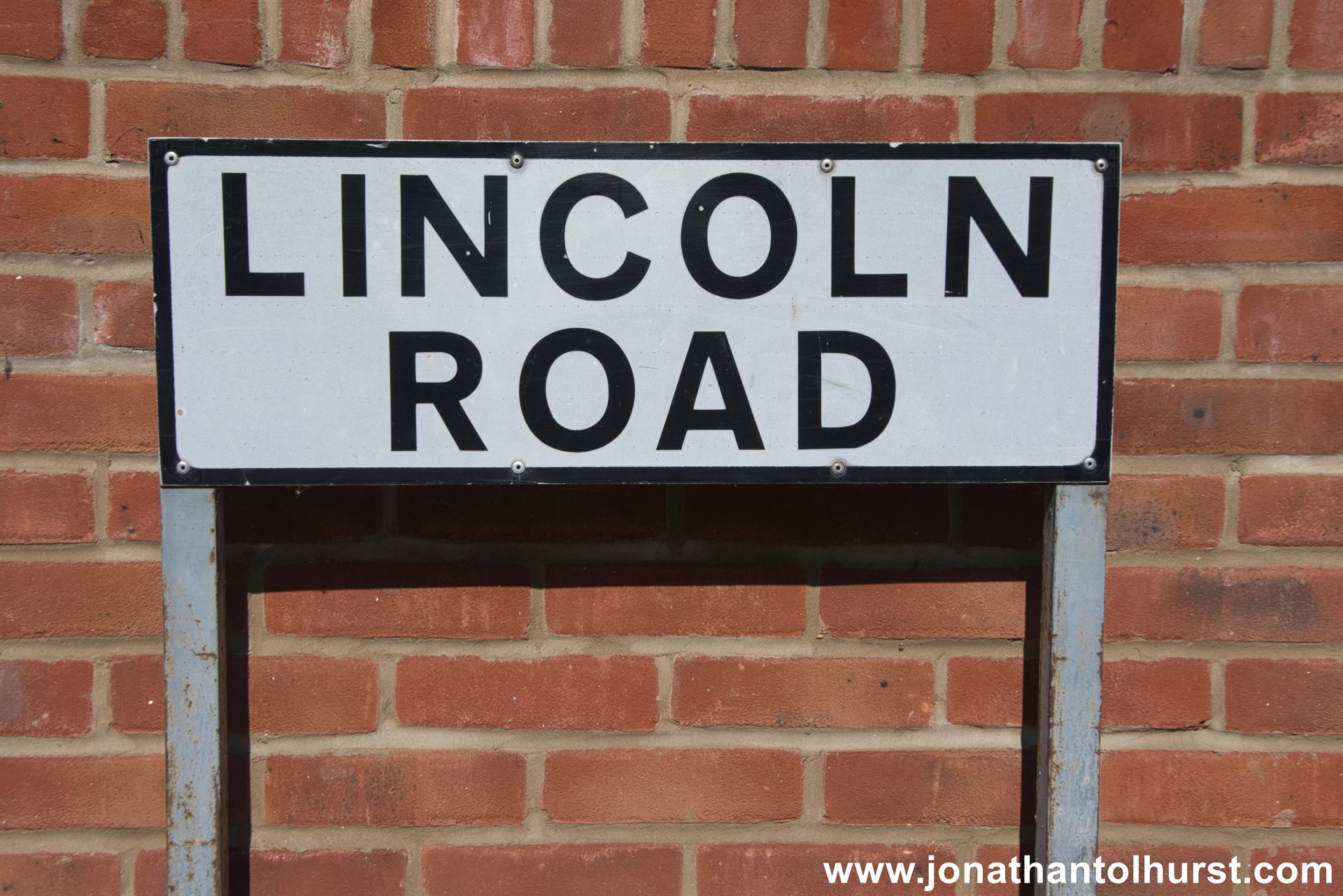
- Lincoln Road
- Lindfield Road
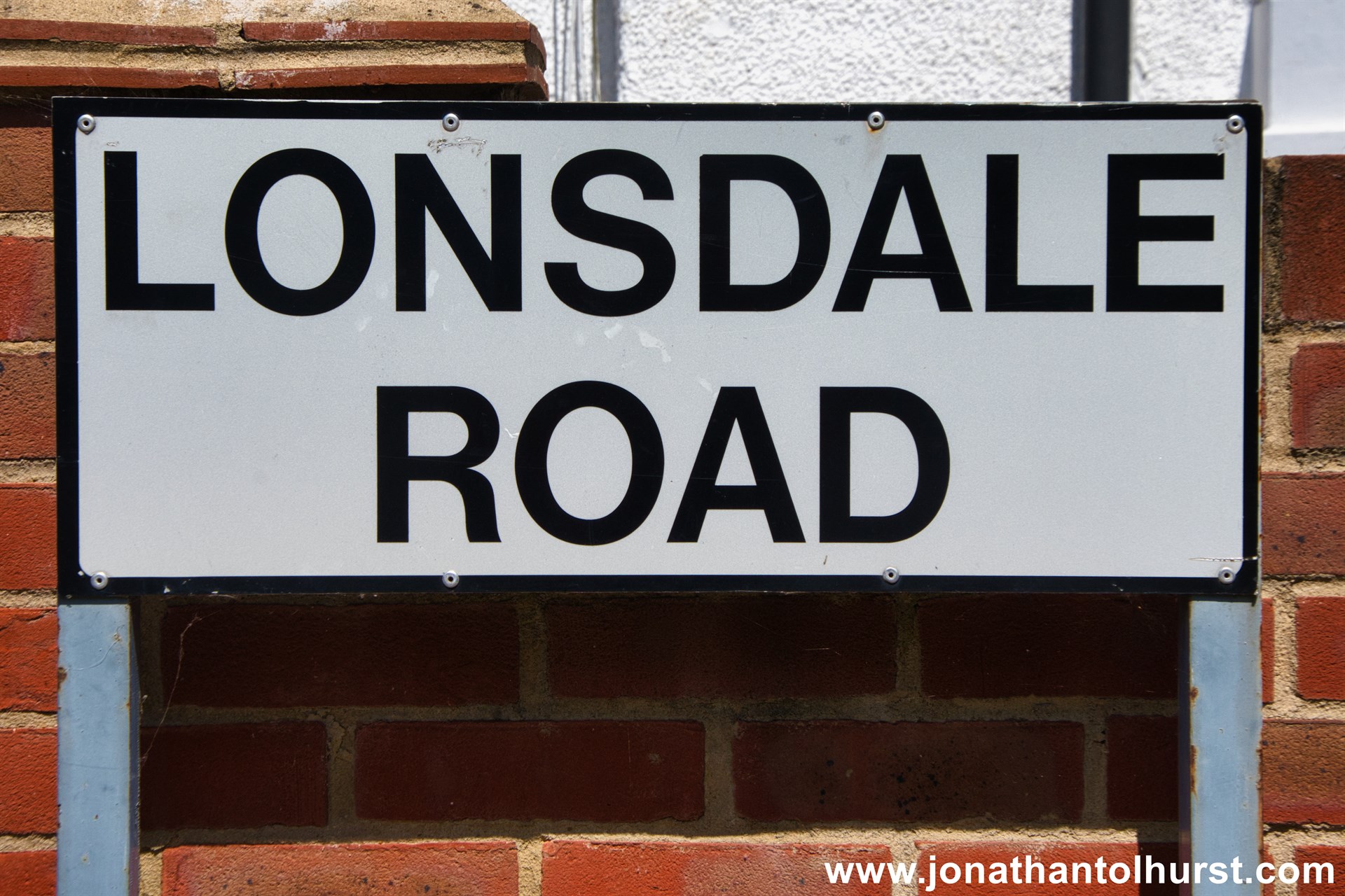
- Lonsdale Road
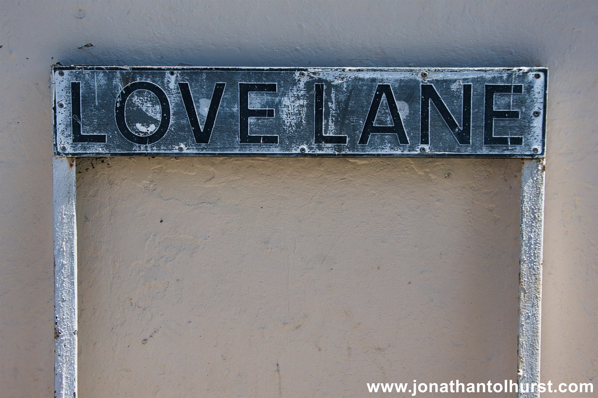
- Love Lane
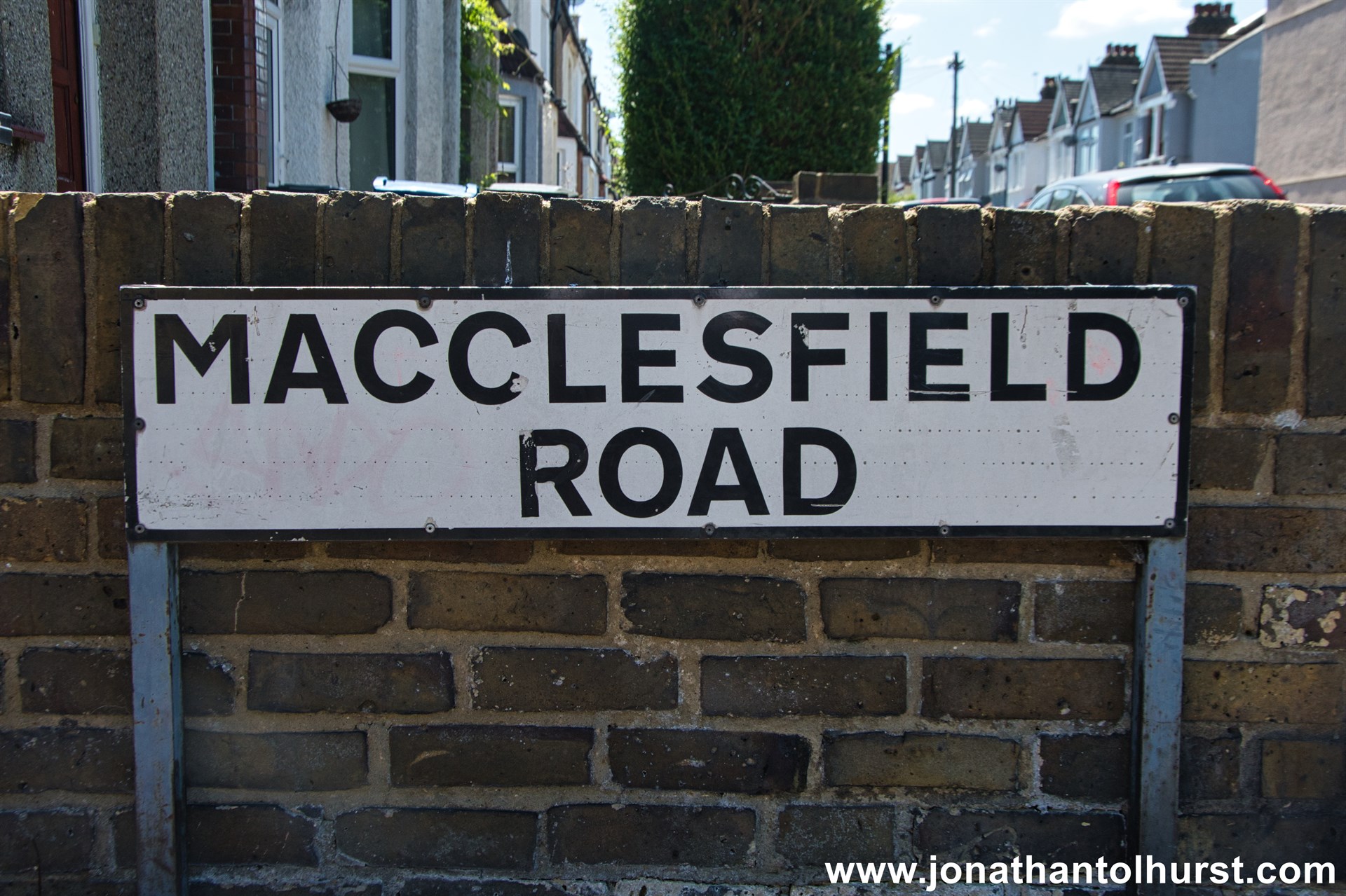
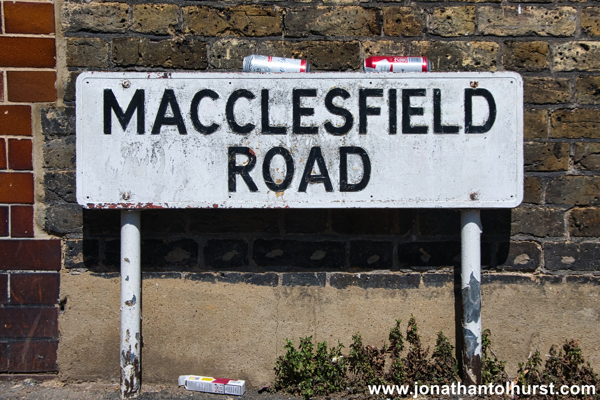
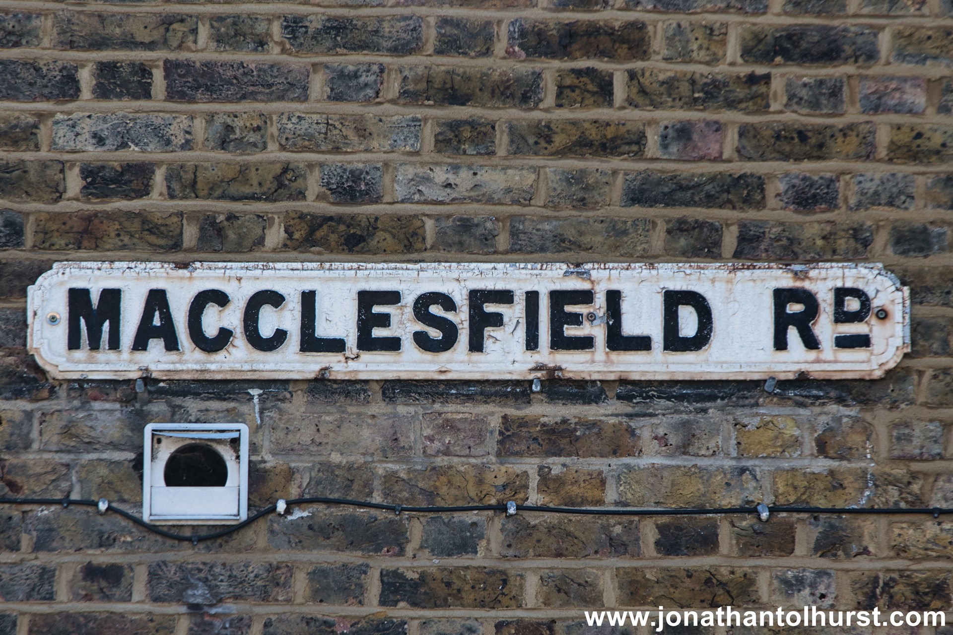
- Macclesfield Road
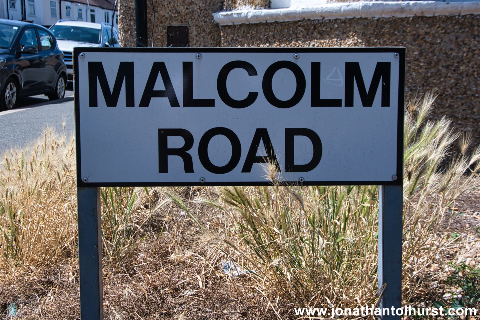
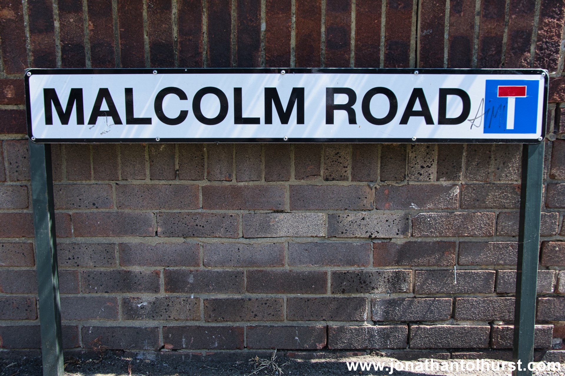
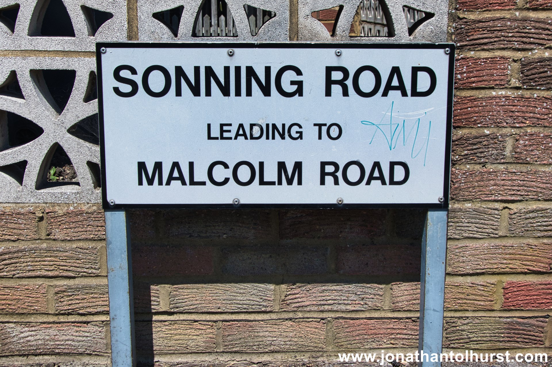
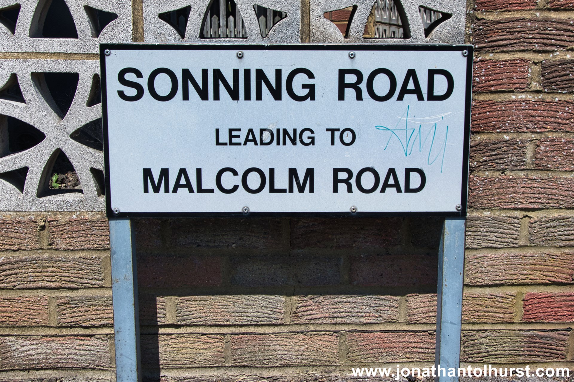
- Malcolm Road
- Malden Avenue
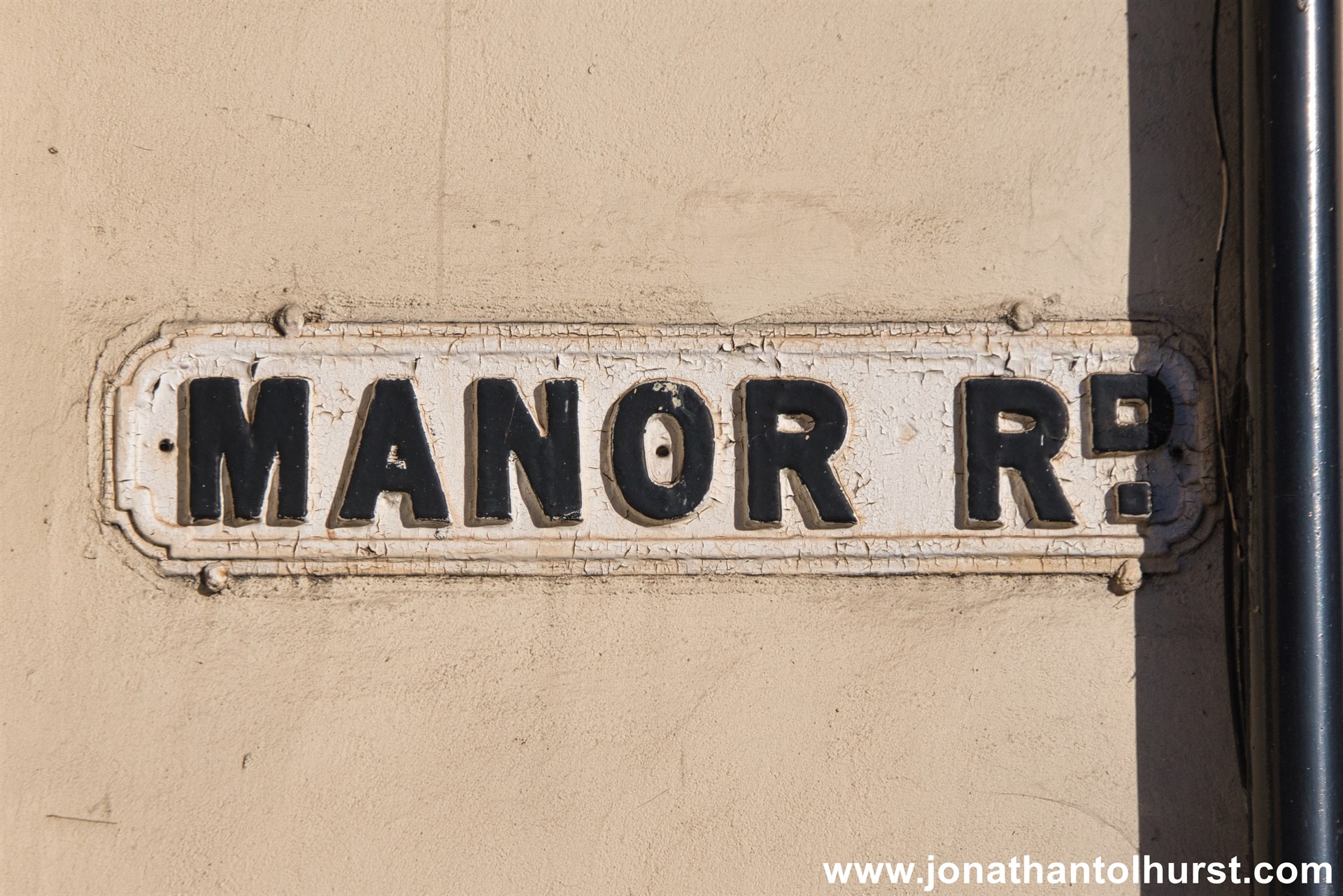
- Manor Road
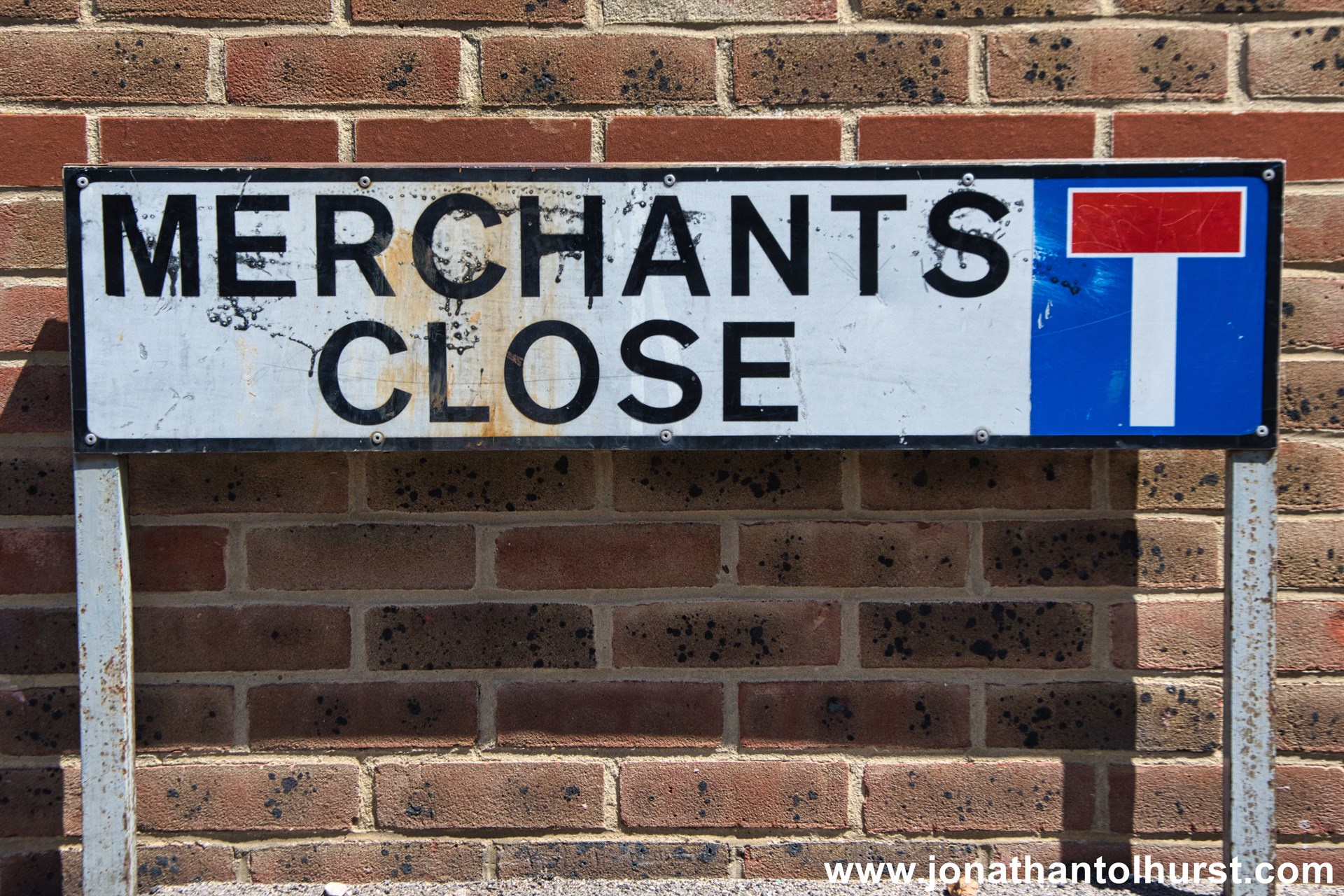
- Merchants Close
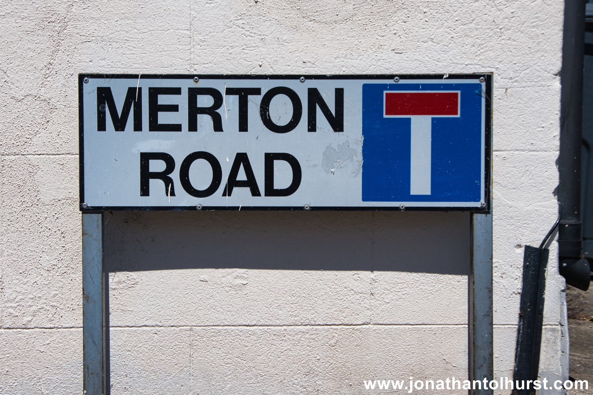
- Merton Road
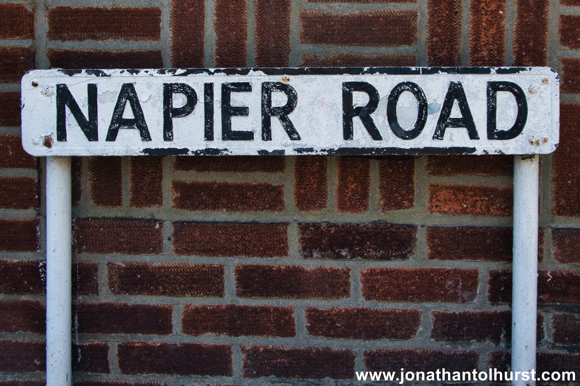
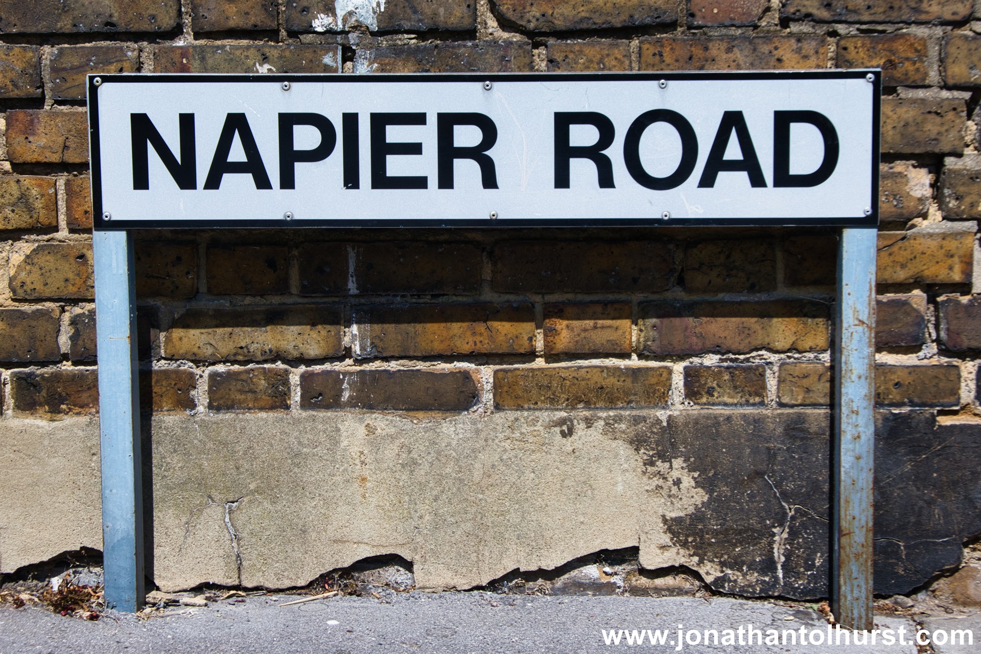
- Napier Road
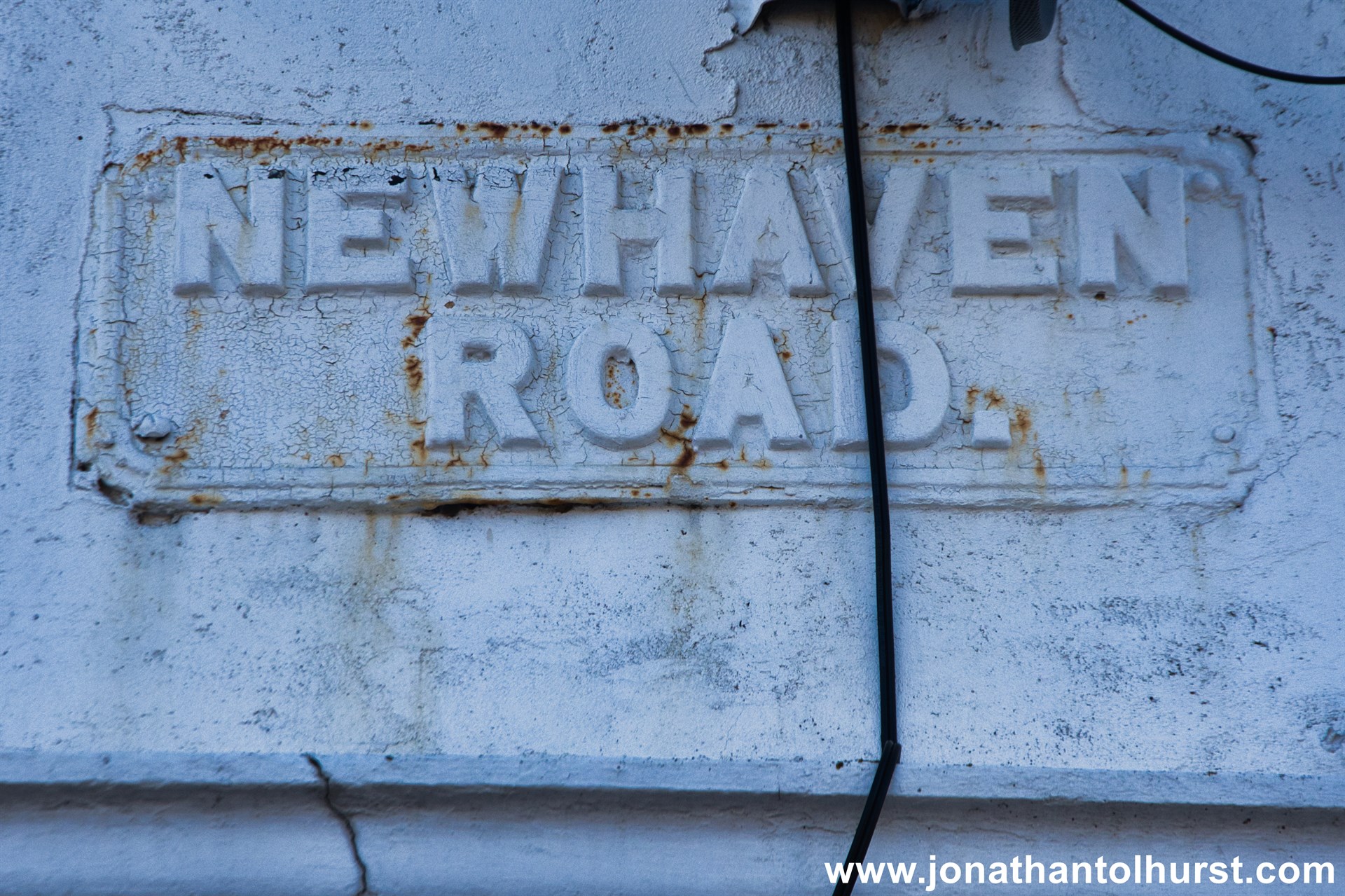
- Newhaven Road
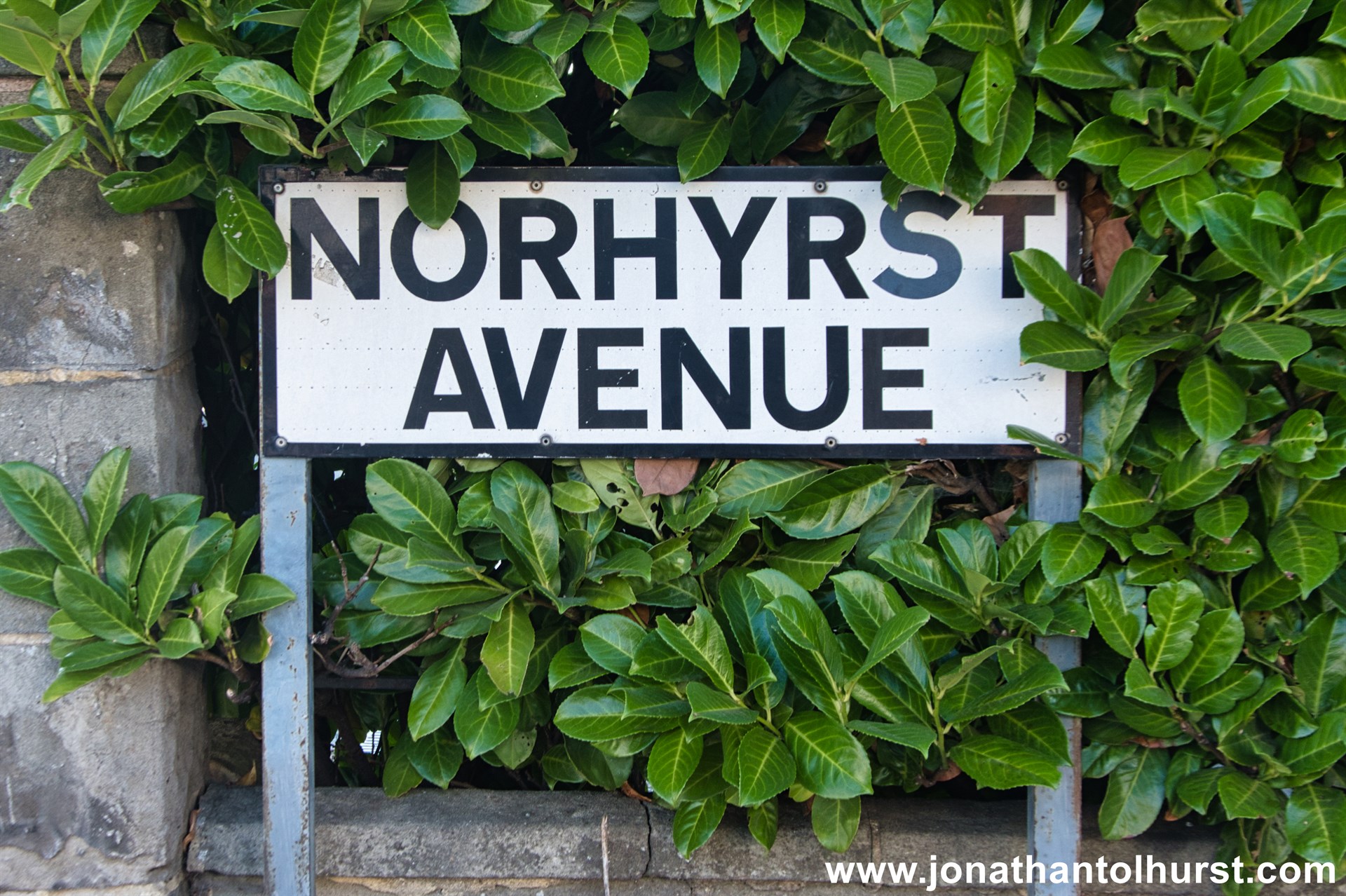
- Norhyrst Avenue
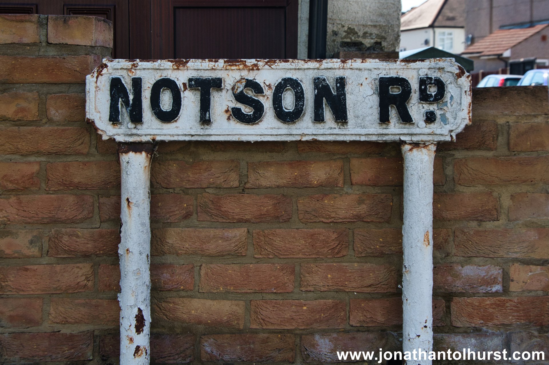
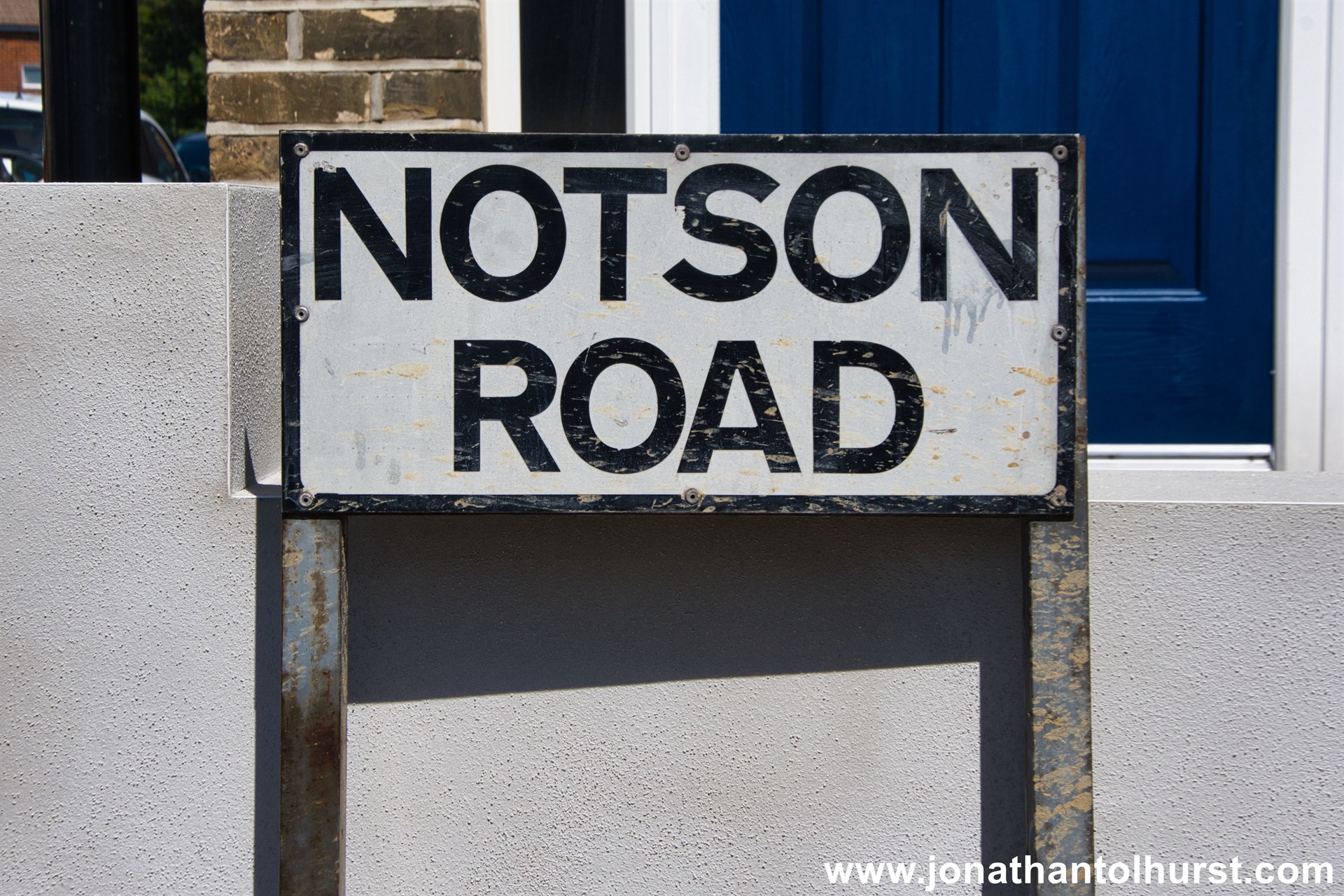
- Notson Road
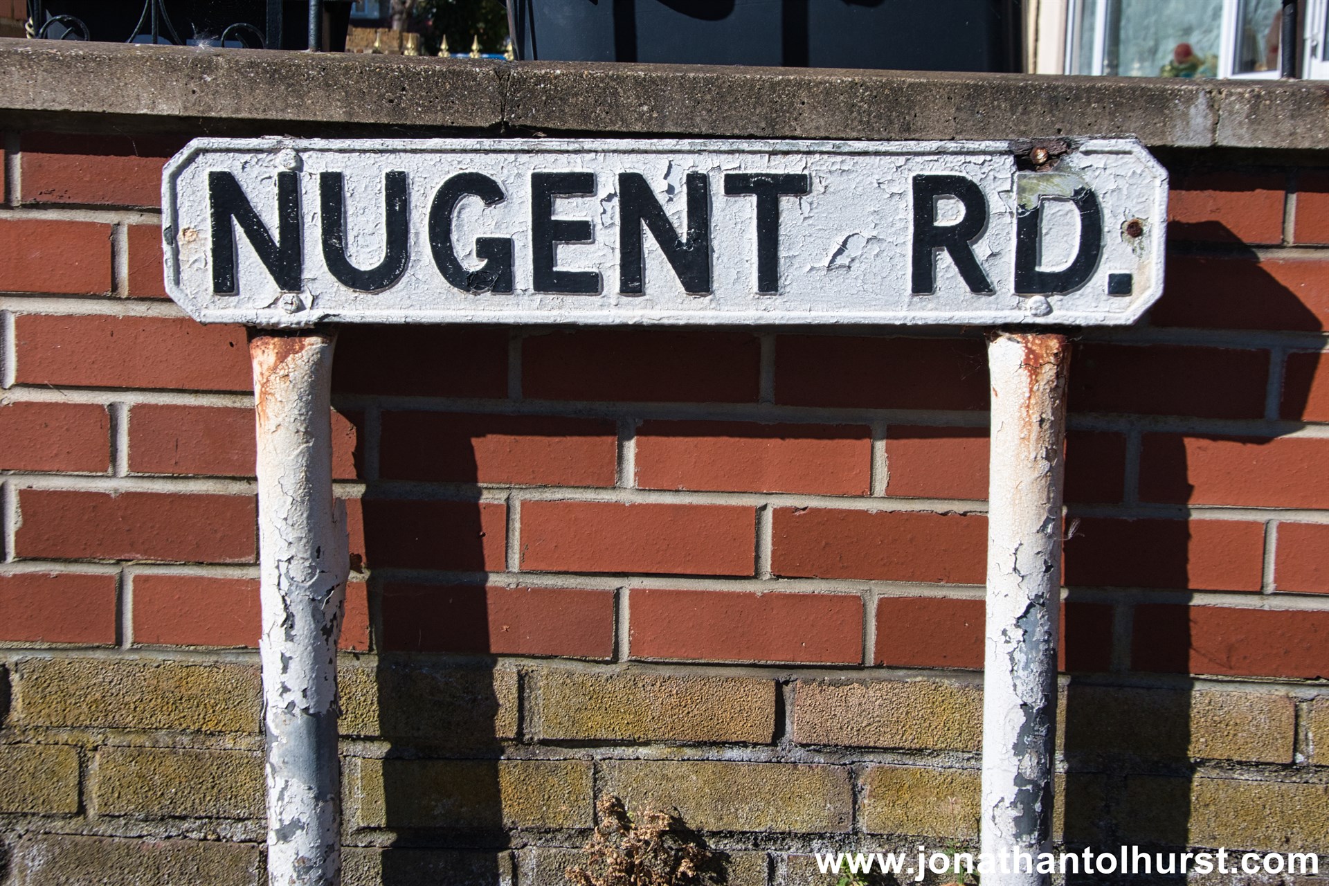
- Nugent Road
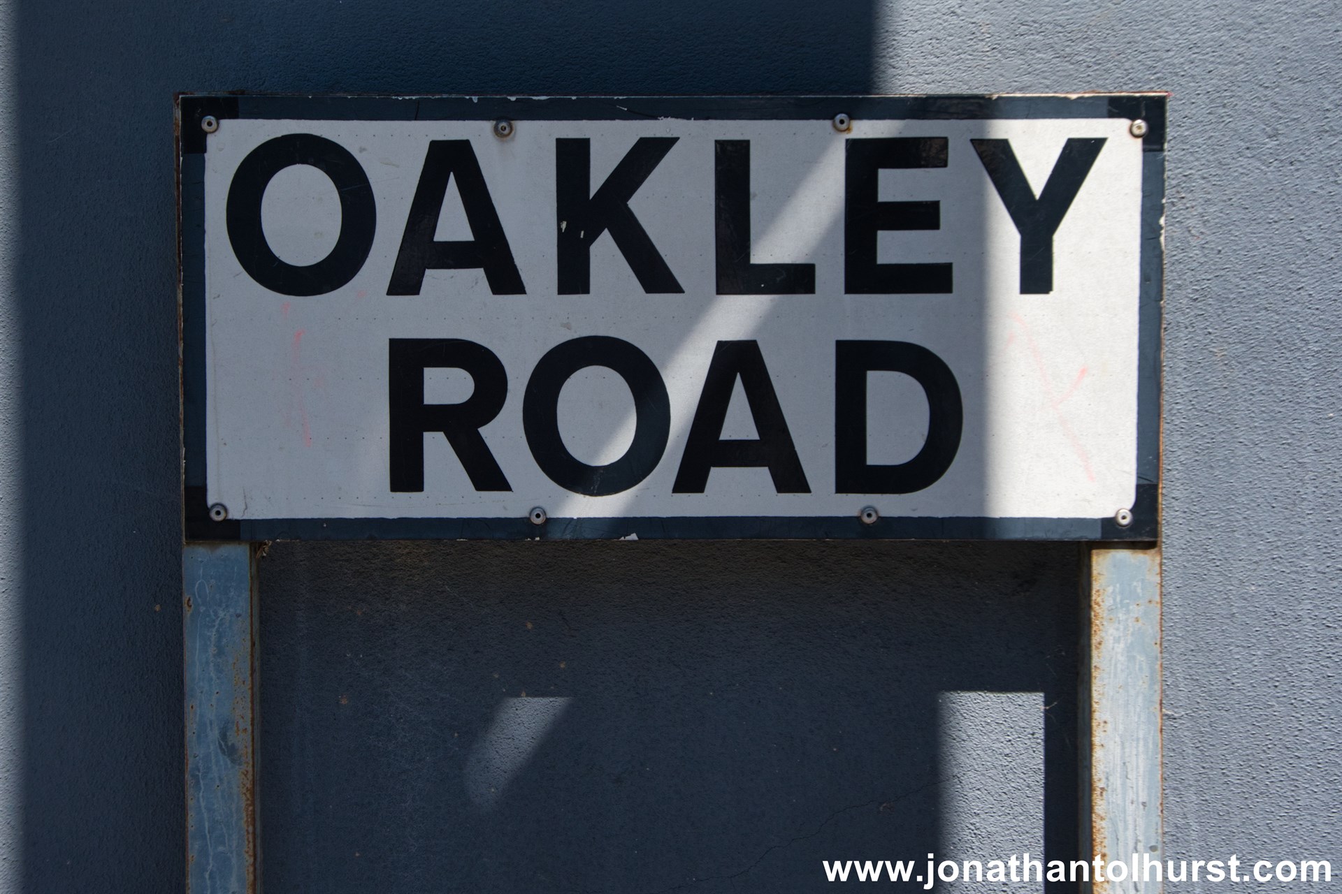
- Oakley Road
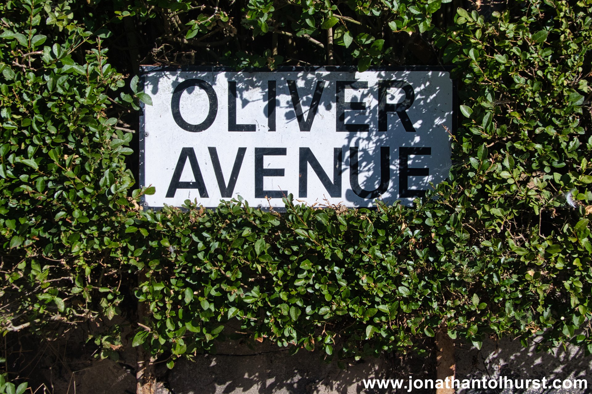
- Oliver Avenue
- Oliver Grove
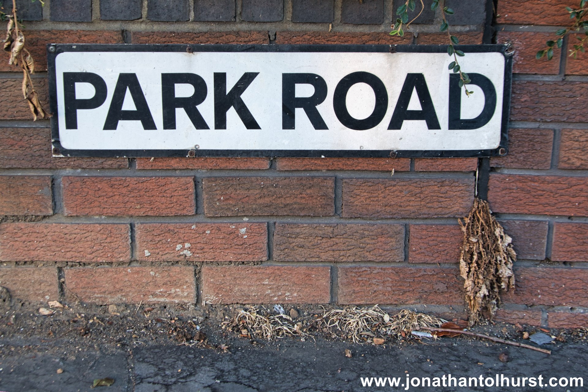
- Park Road
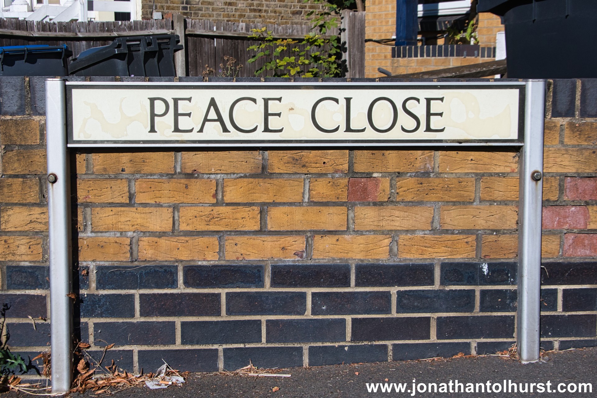
- Peace Close
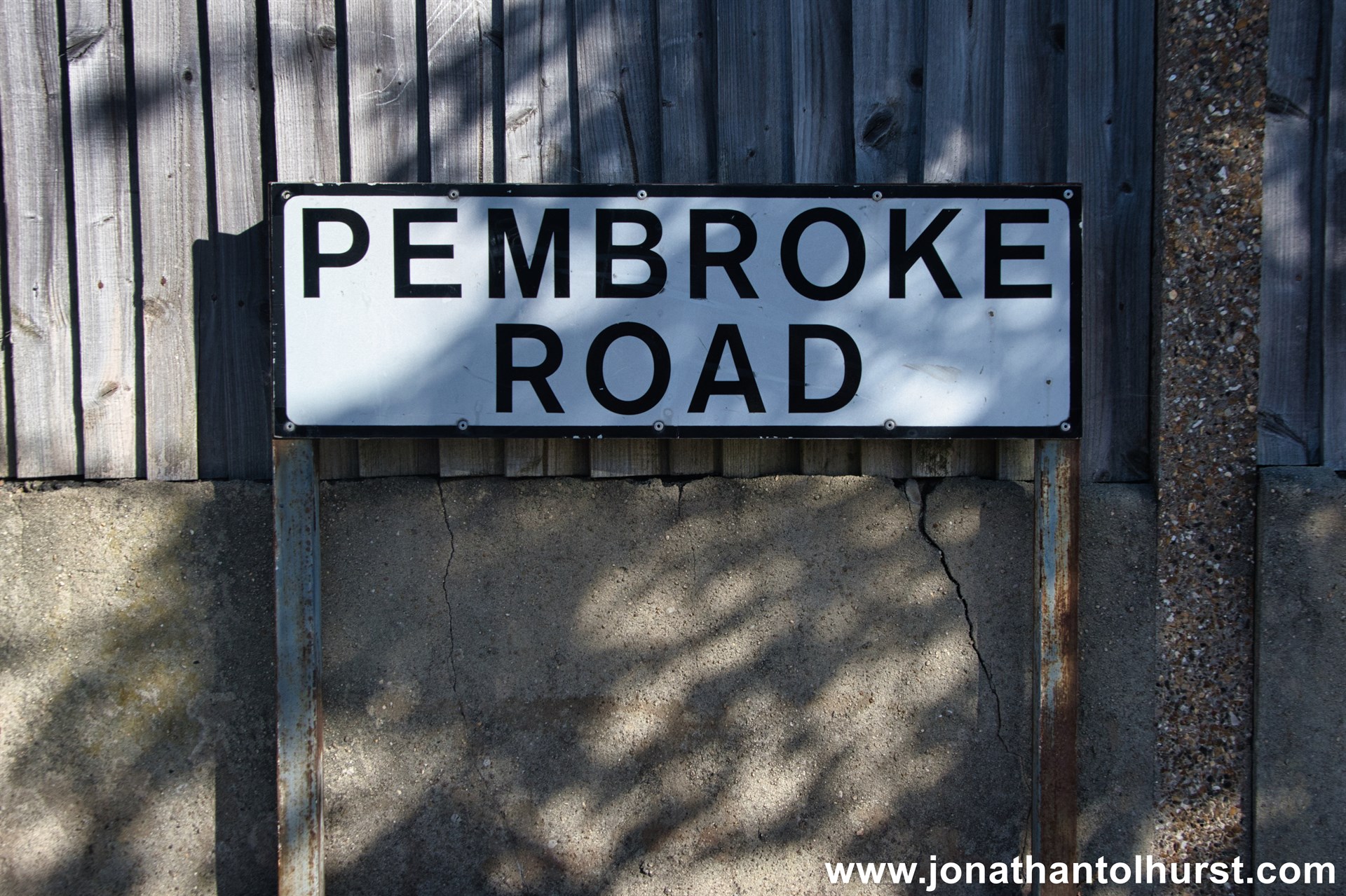
- Pembroke Road
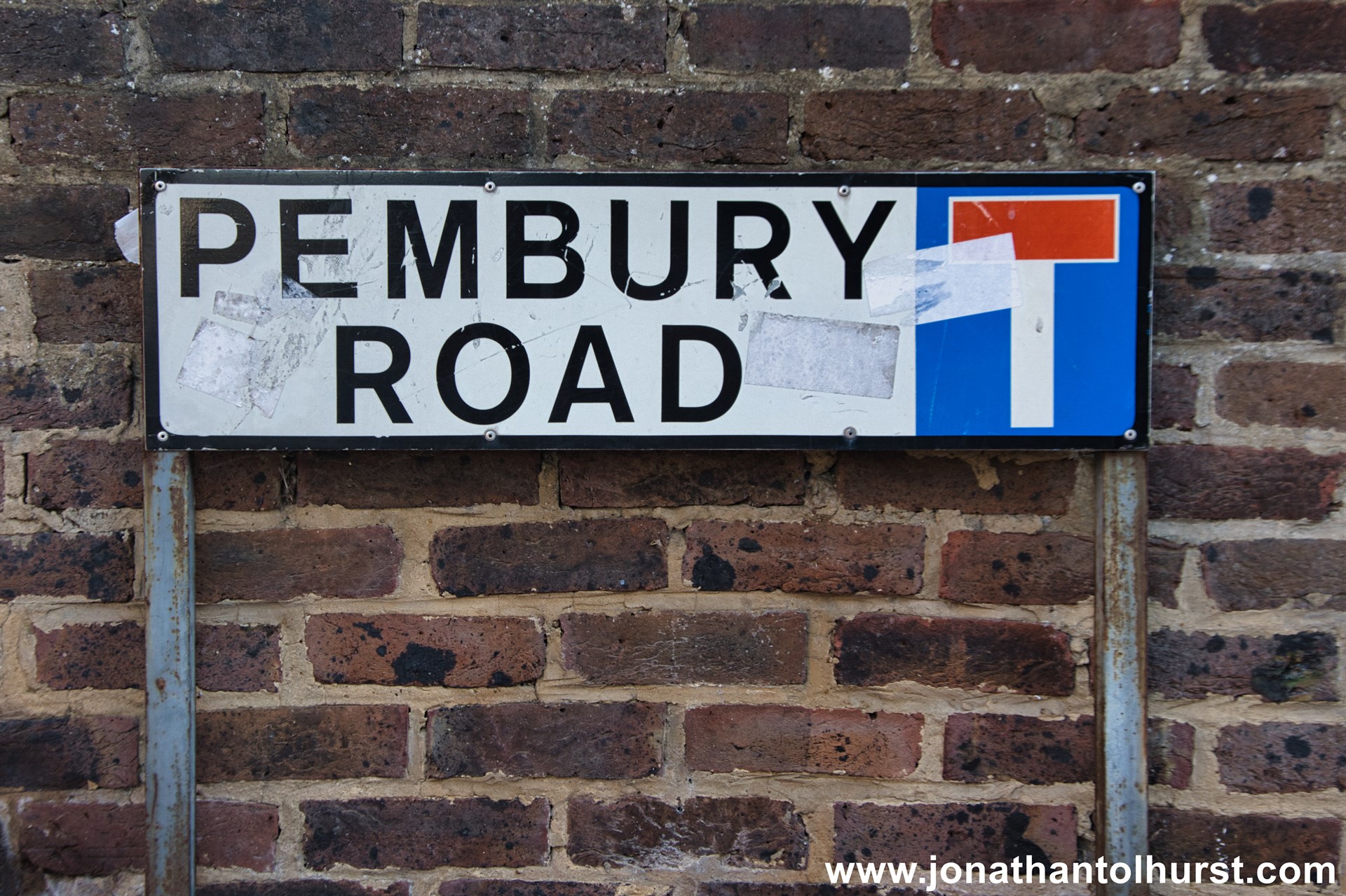
- Pembury Road
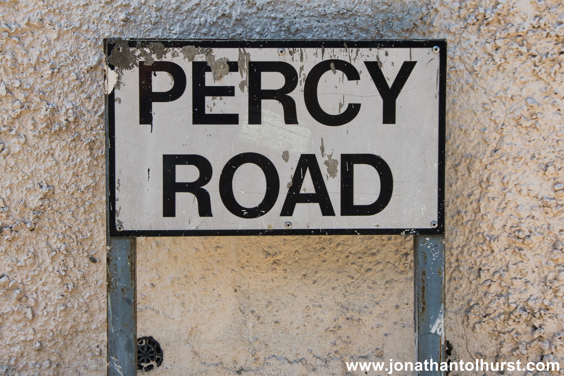
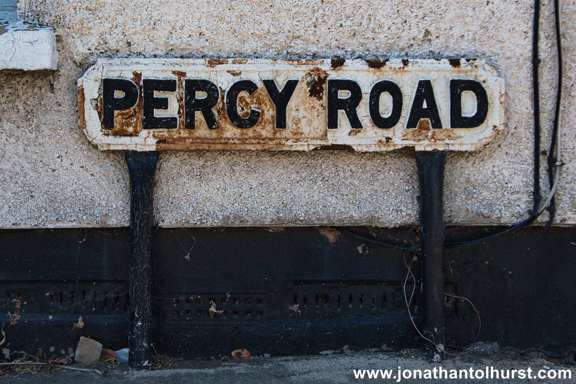
- Percy Road
- Pickering Gardens
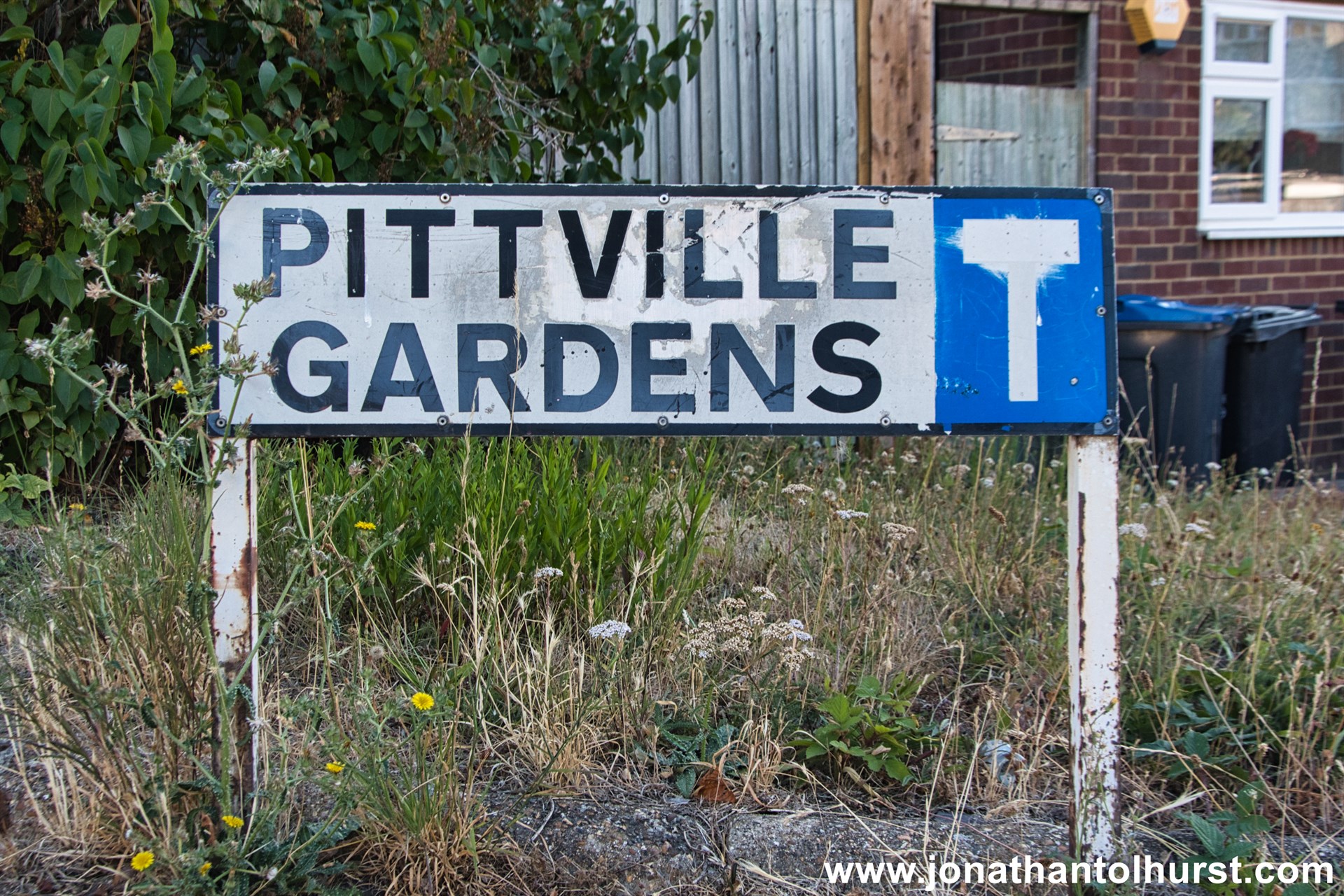
- Pittville Gardens
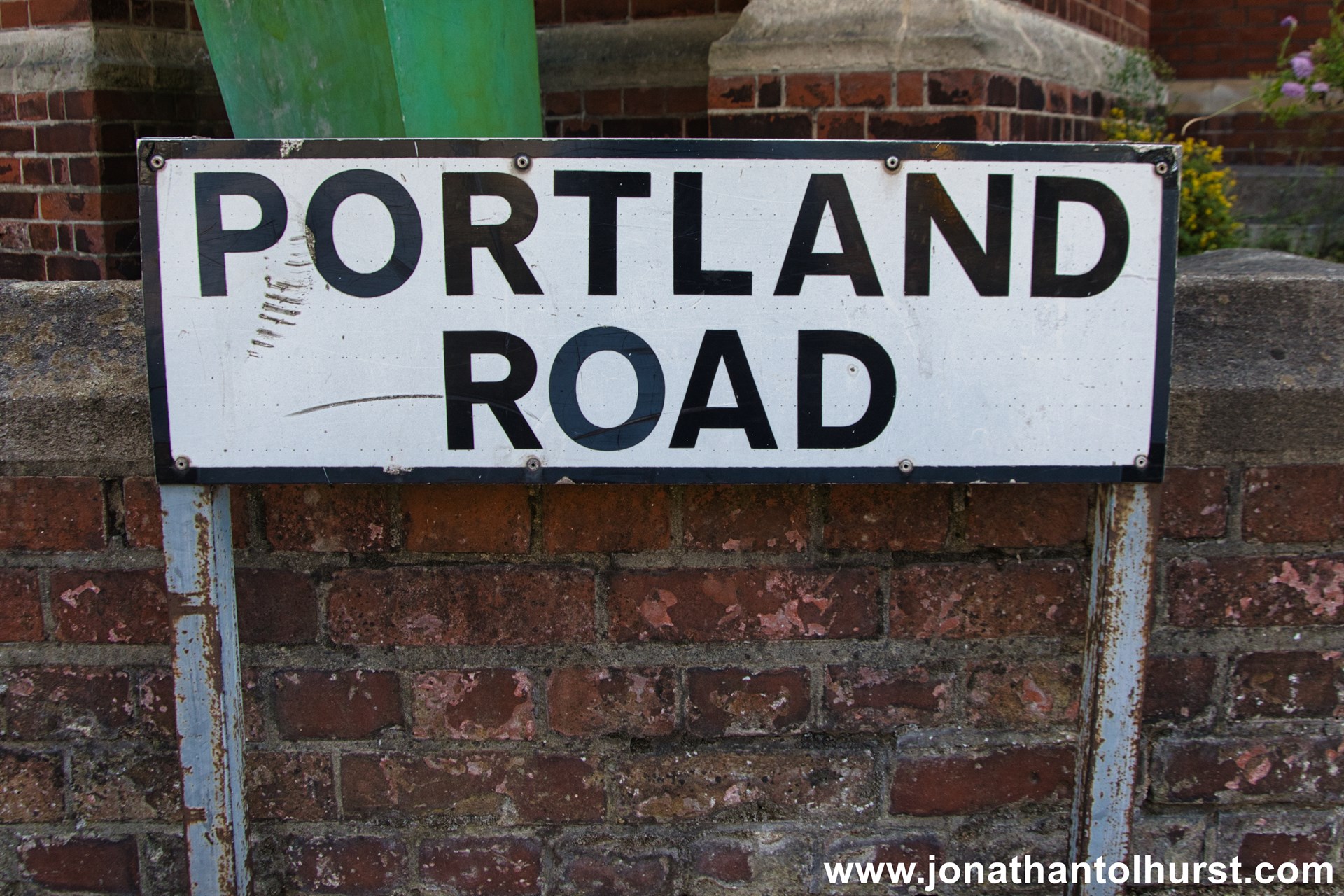
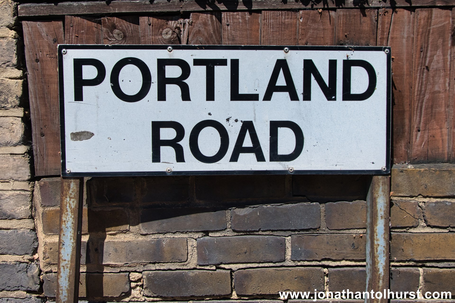
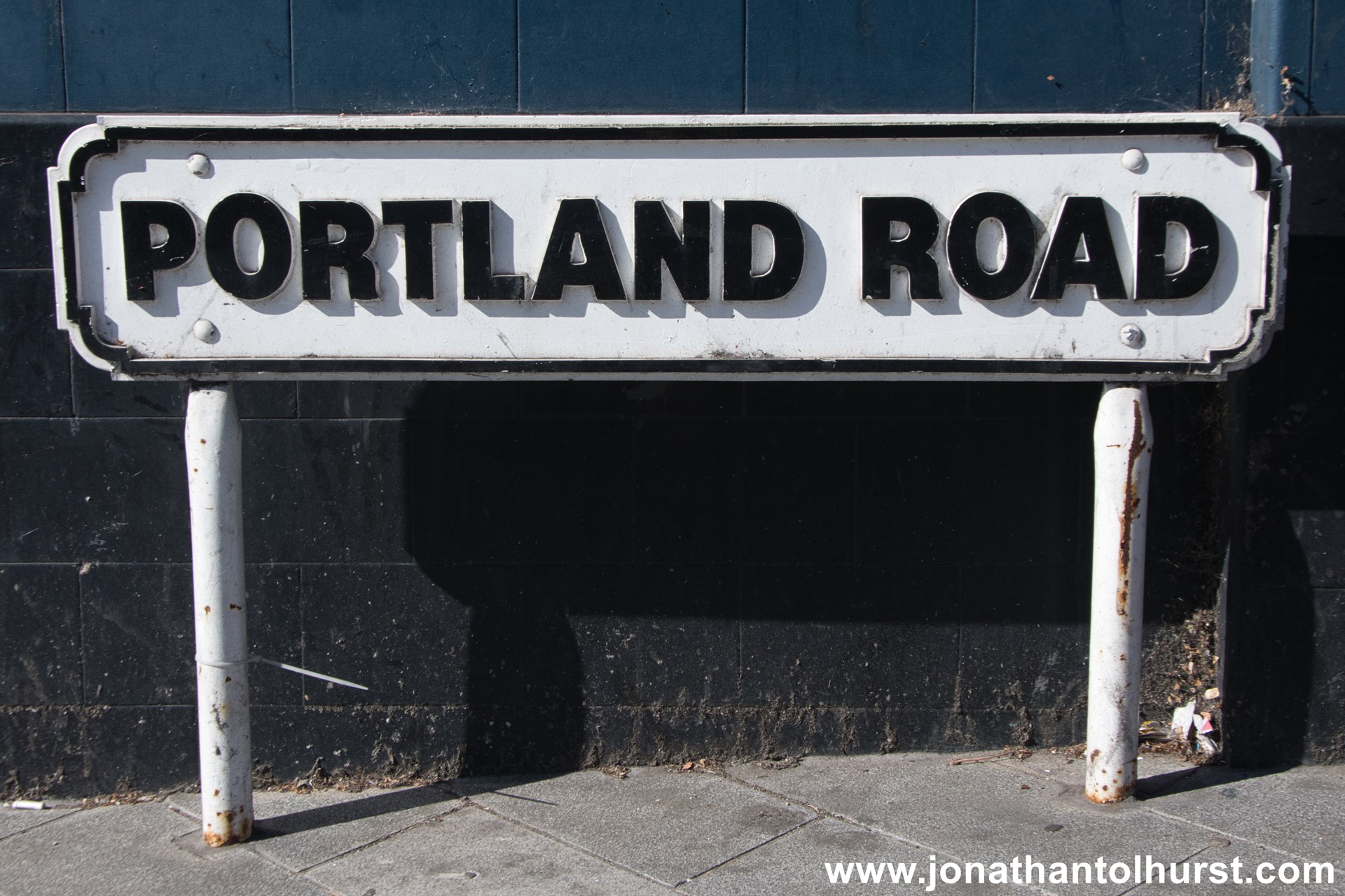
- Portland Road
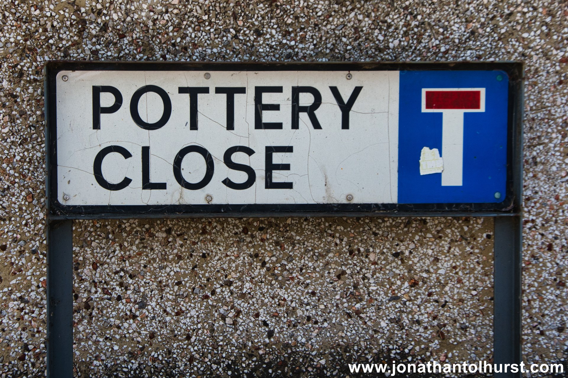
- Pottery Close
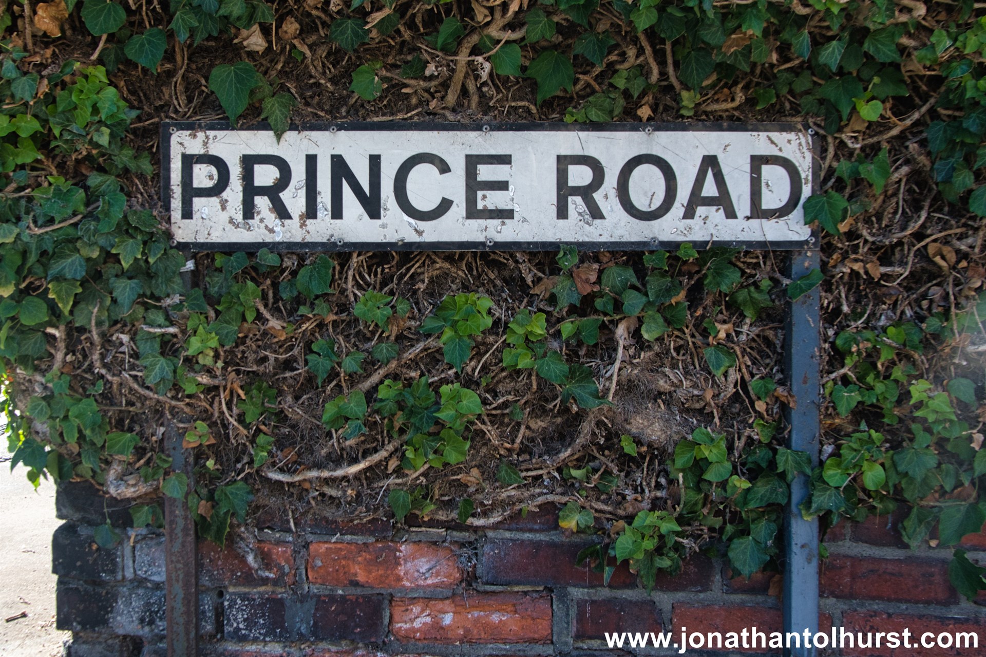
- Prince Road
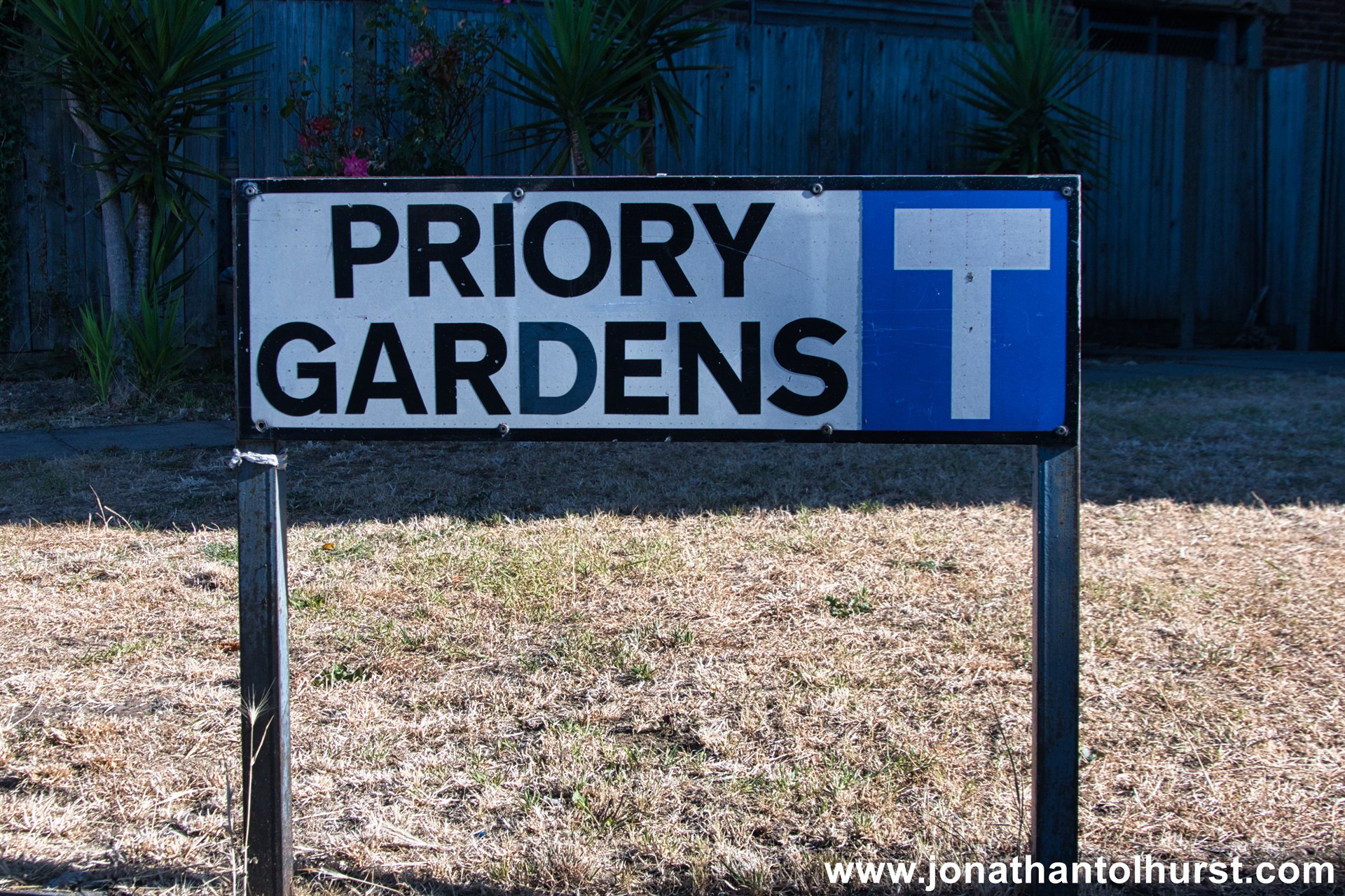
- Priory Gardens
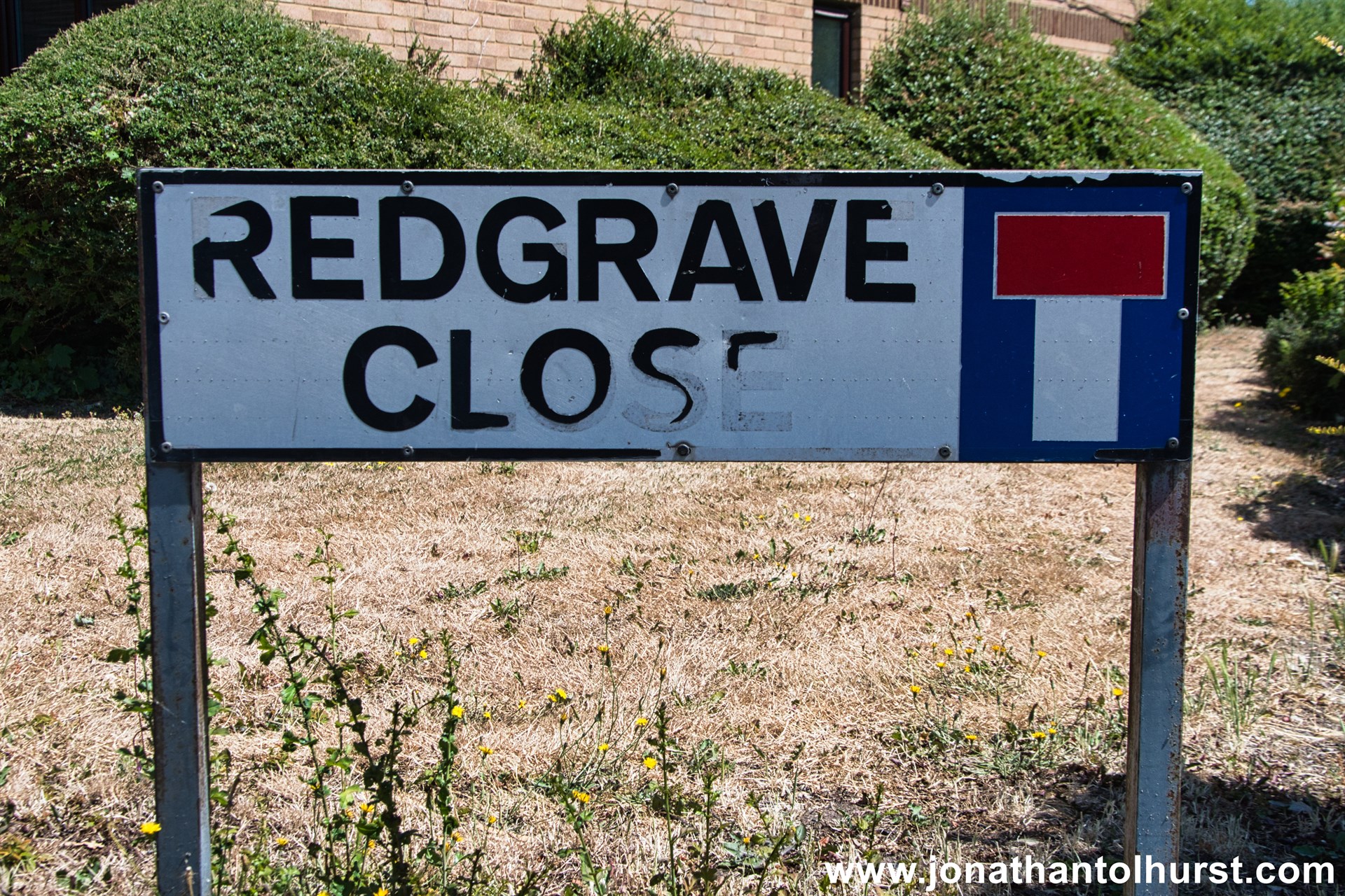
- Redgrave Close
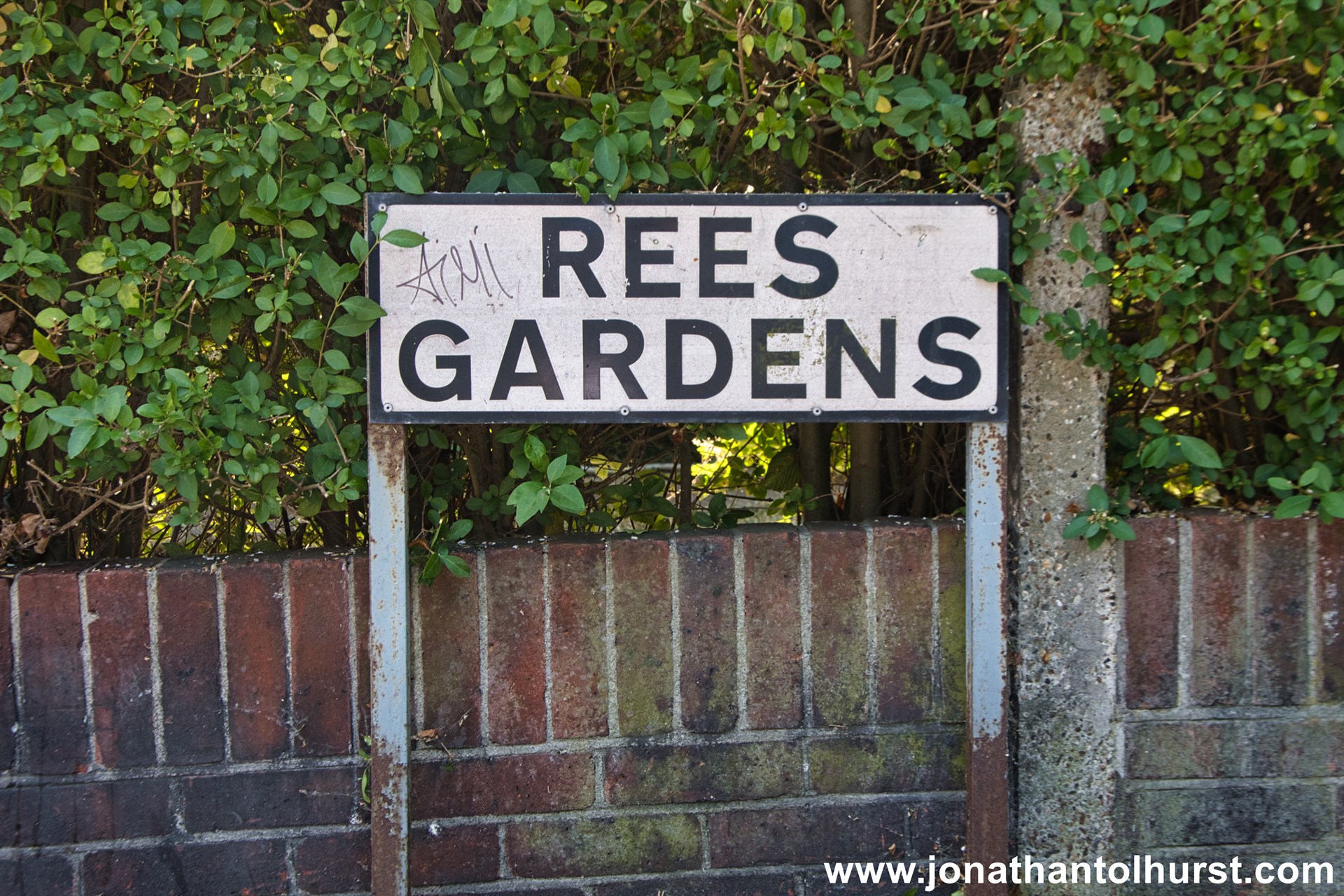
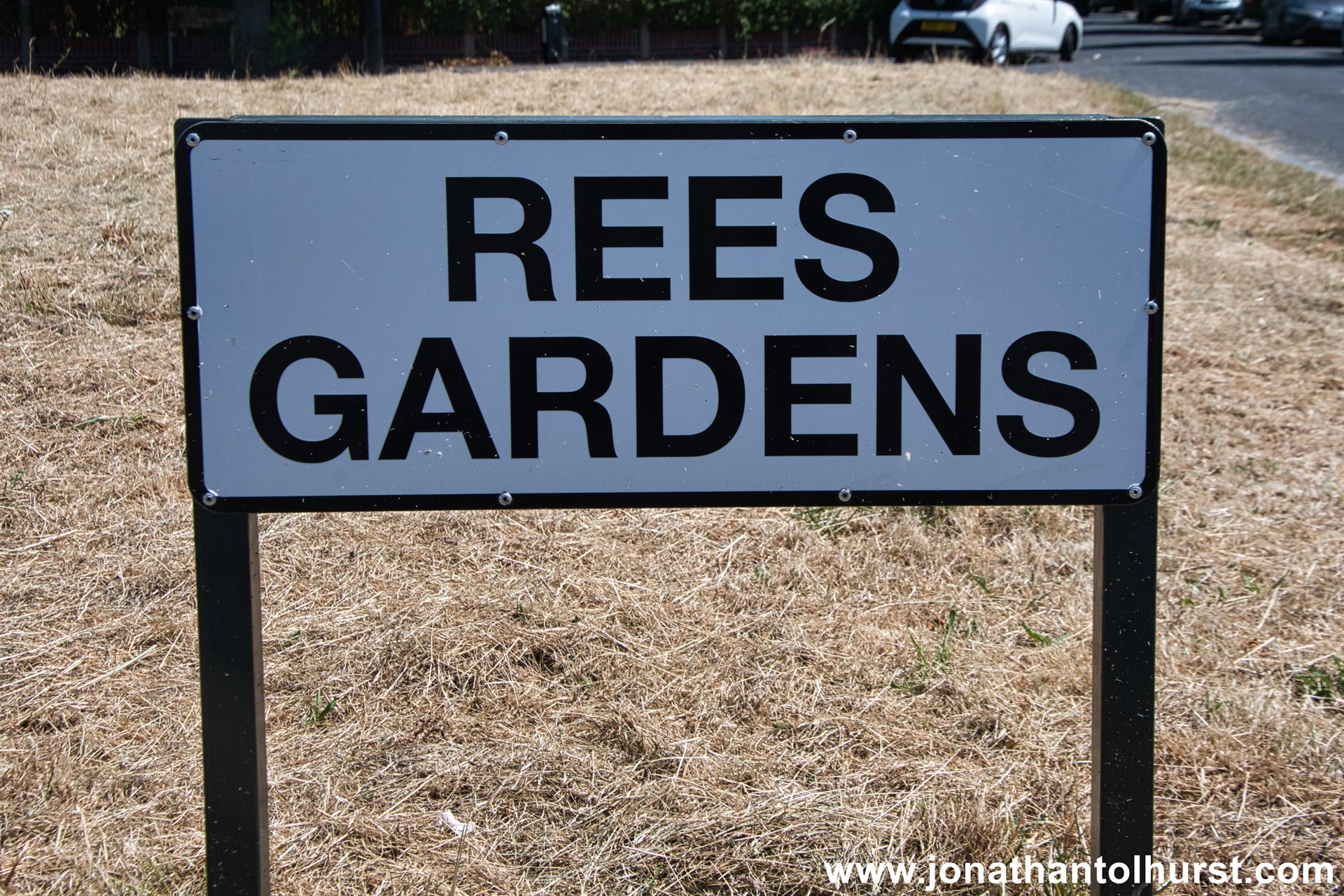
- Rees Gardens
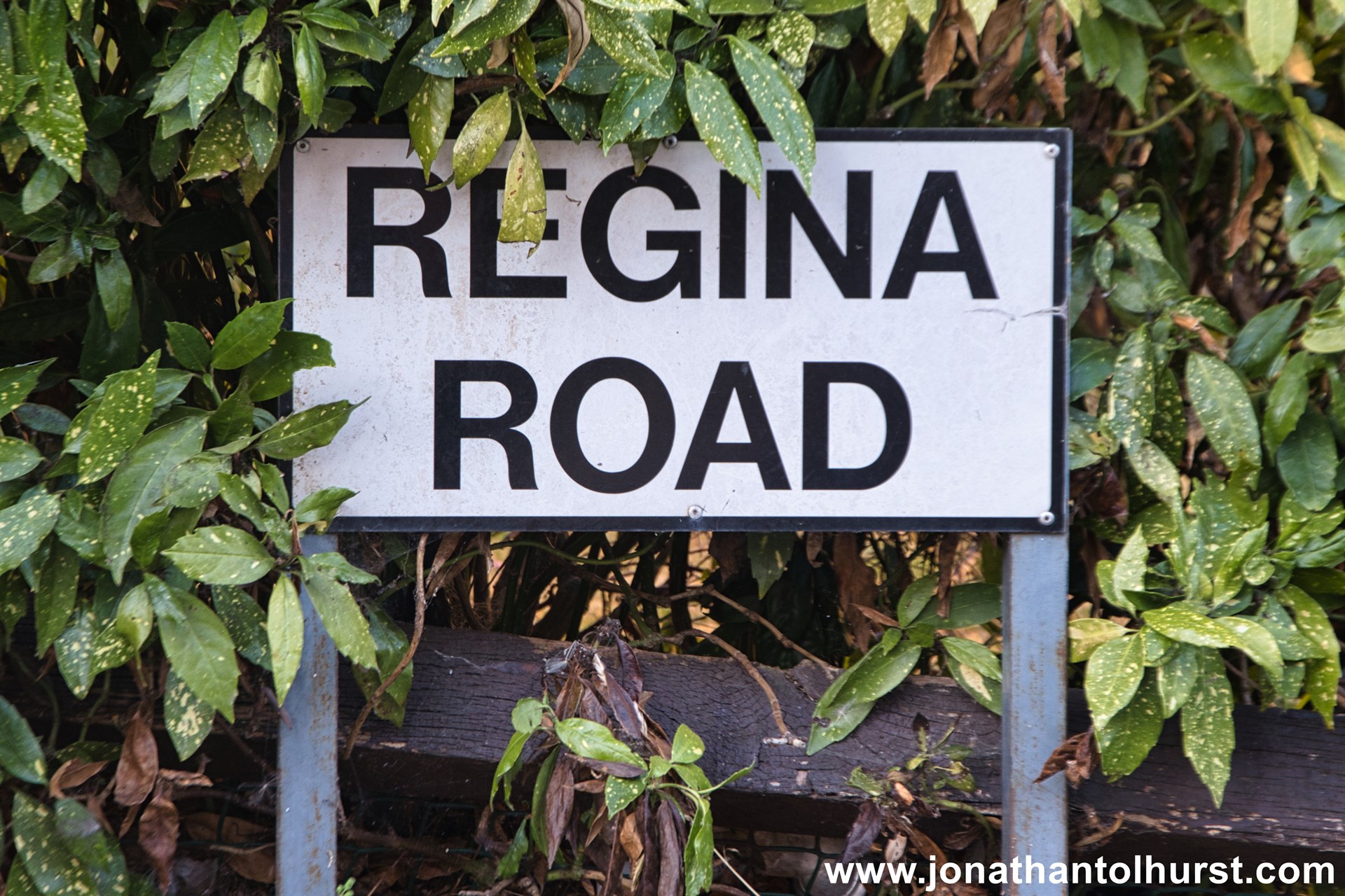
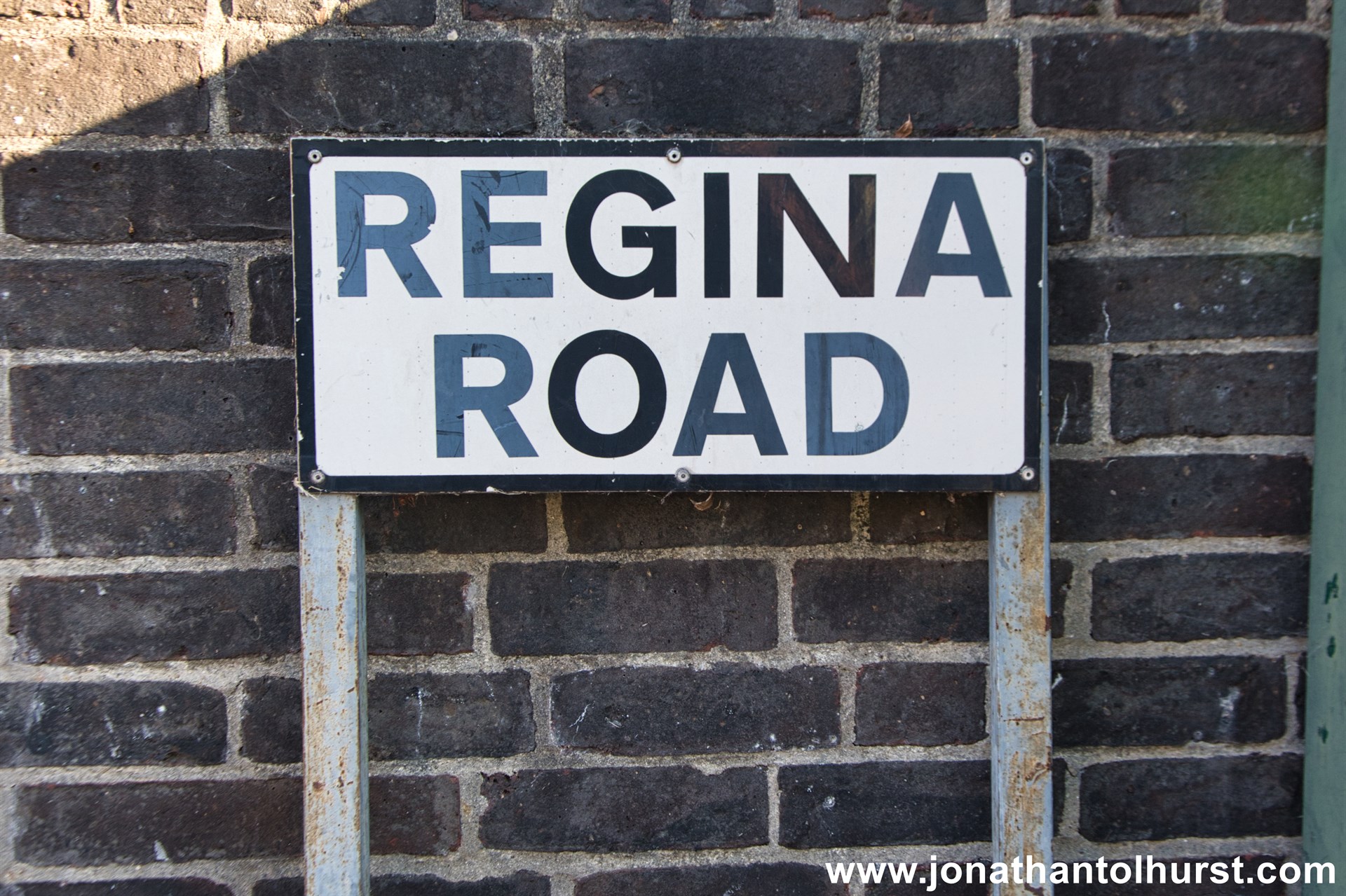
- Regina Road
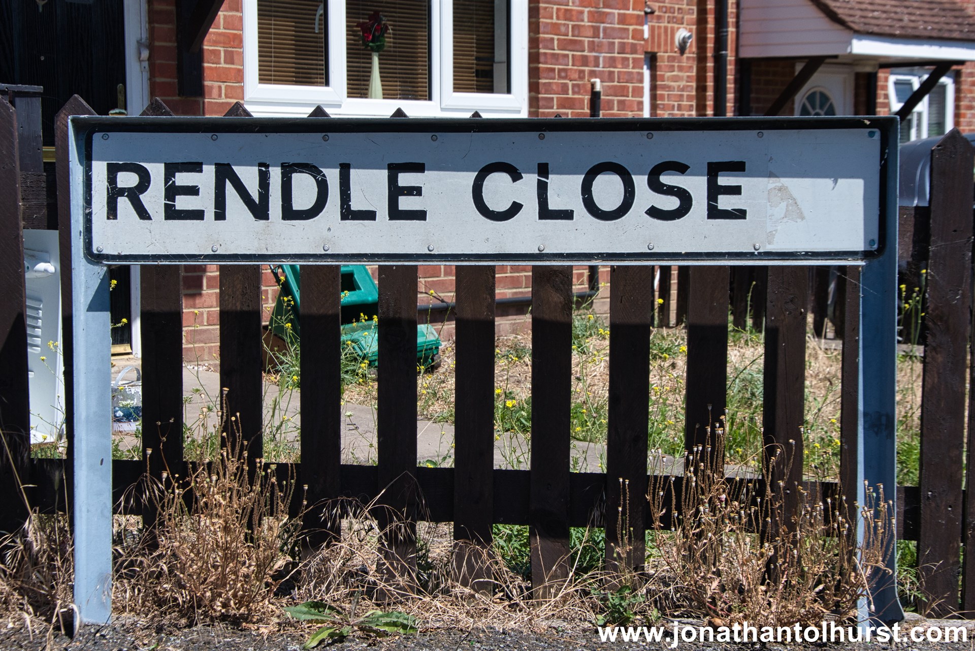
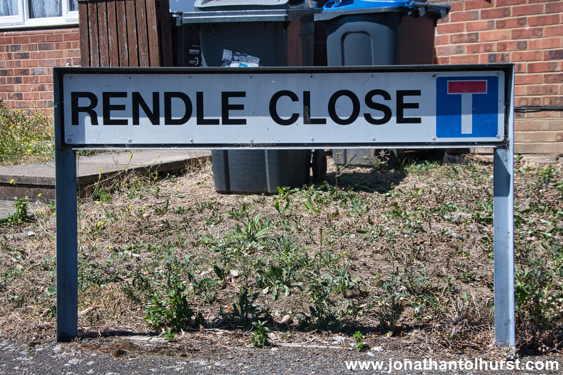
- Rendle Close
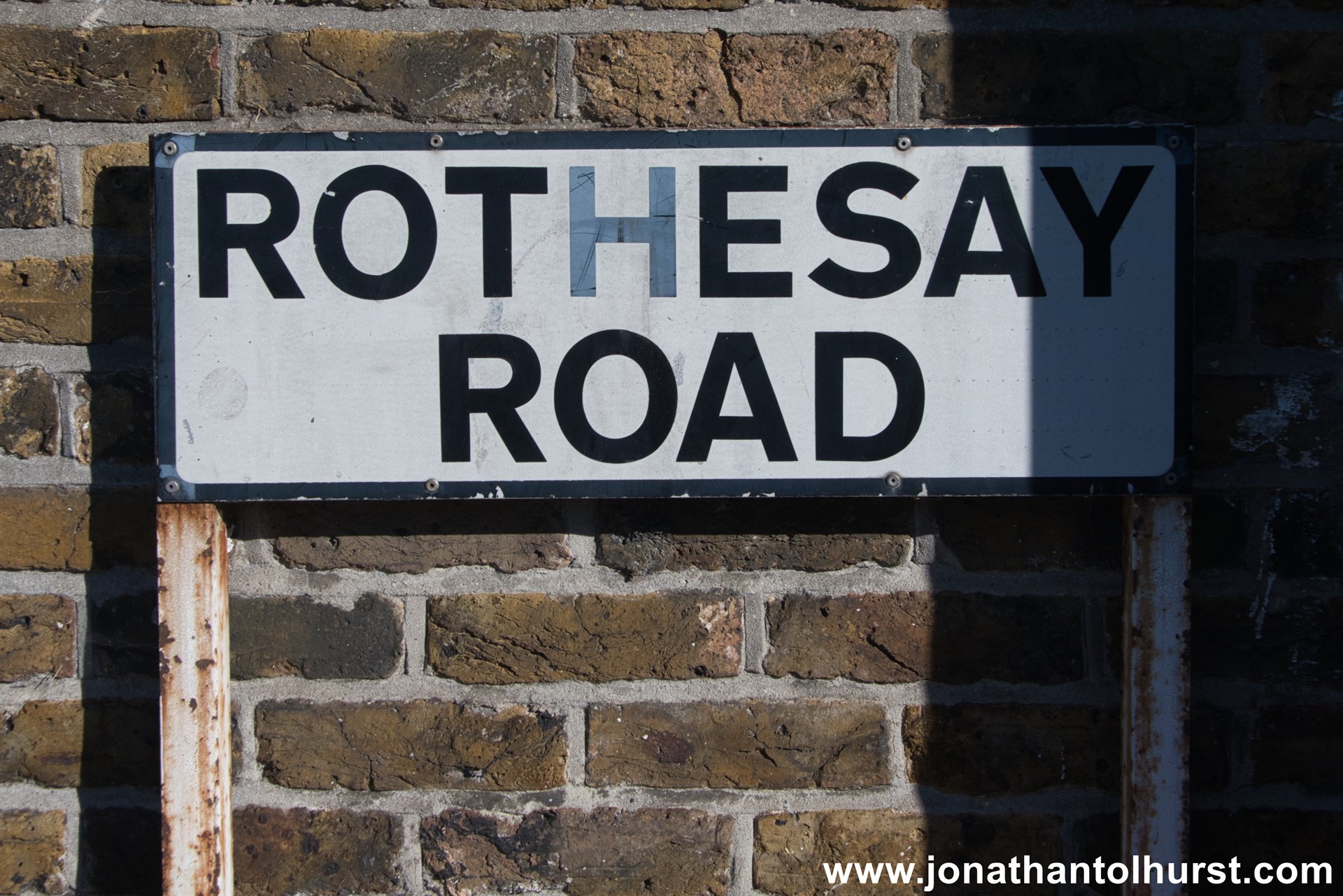
- Rothesay Road
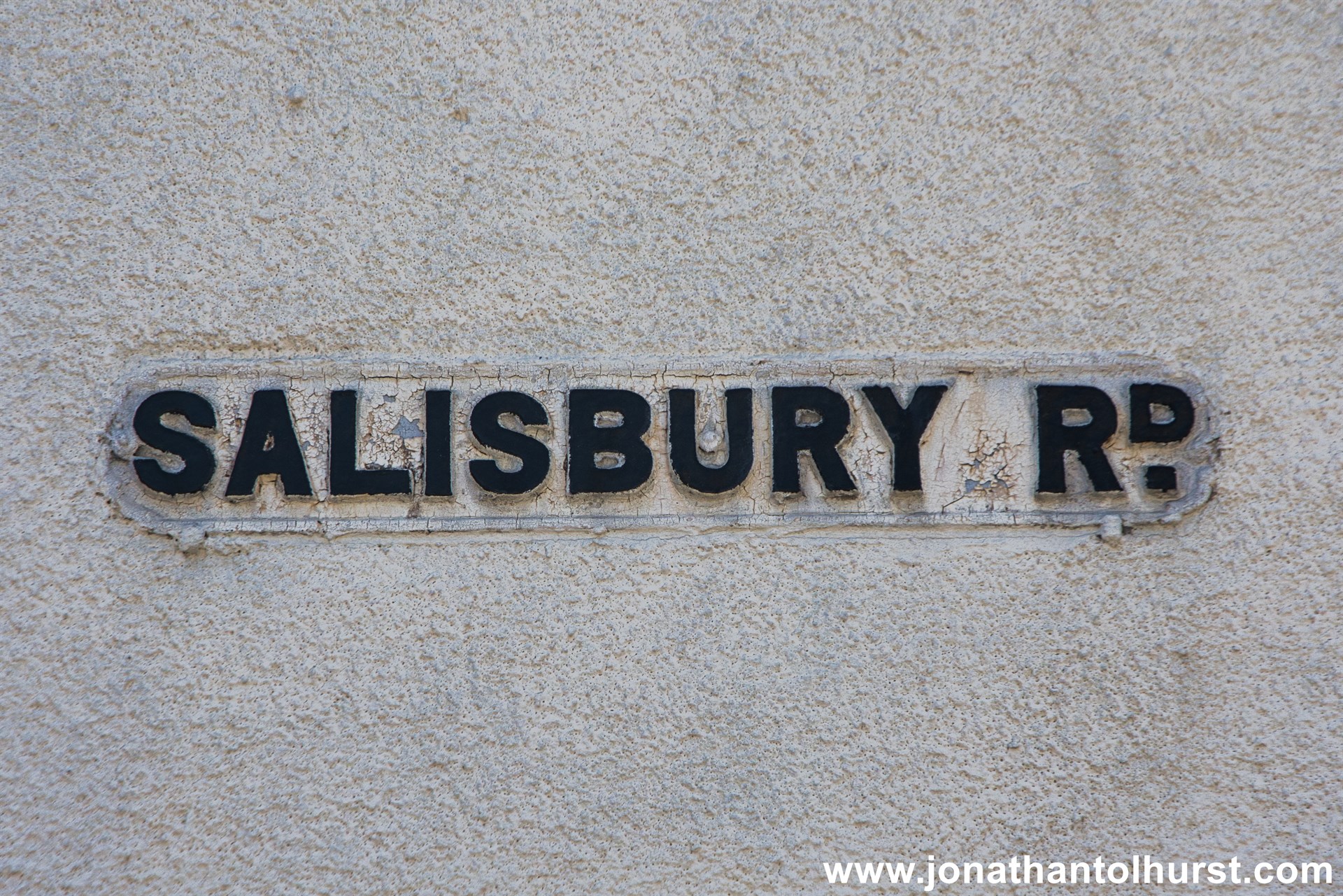
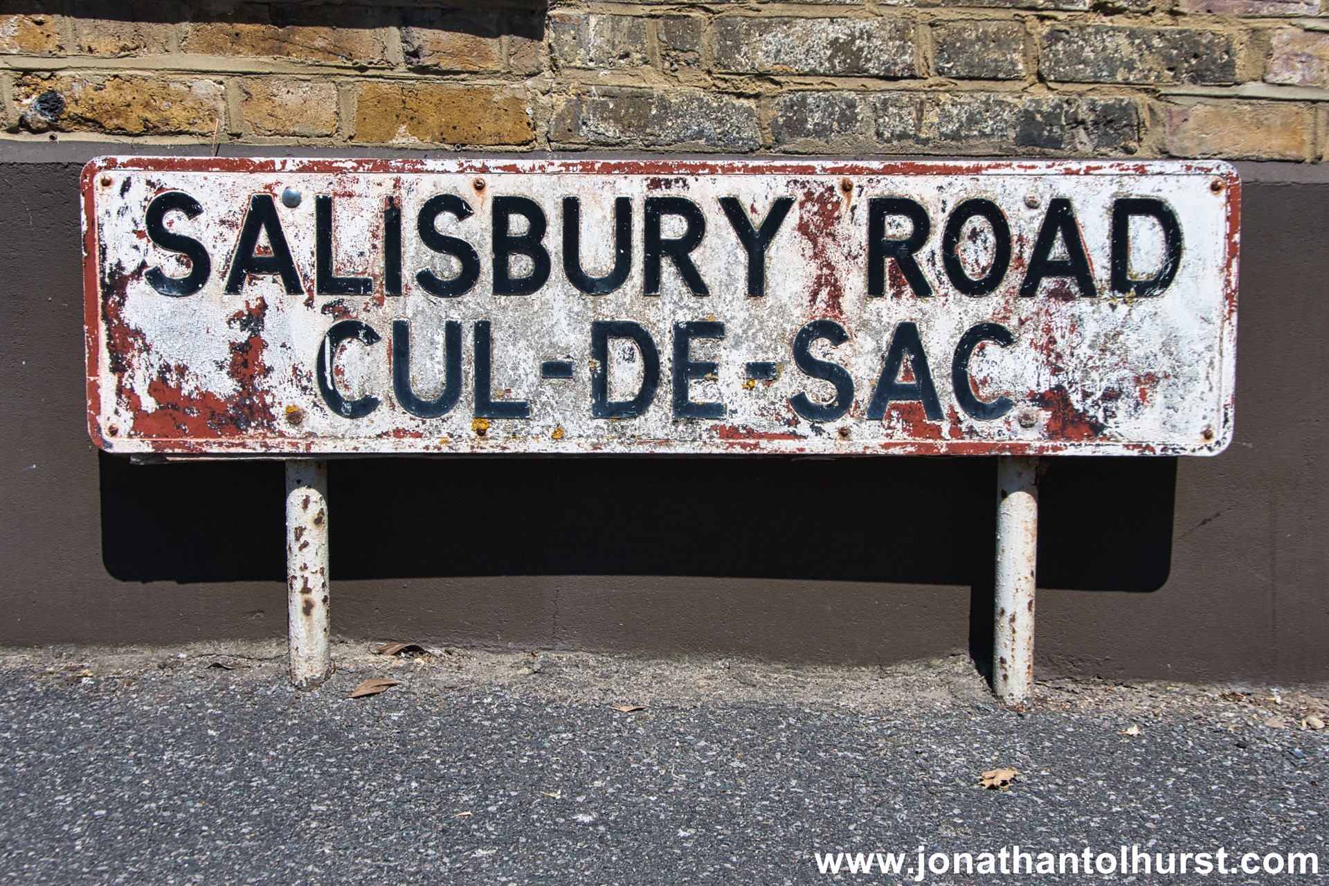
- Salisbury Road
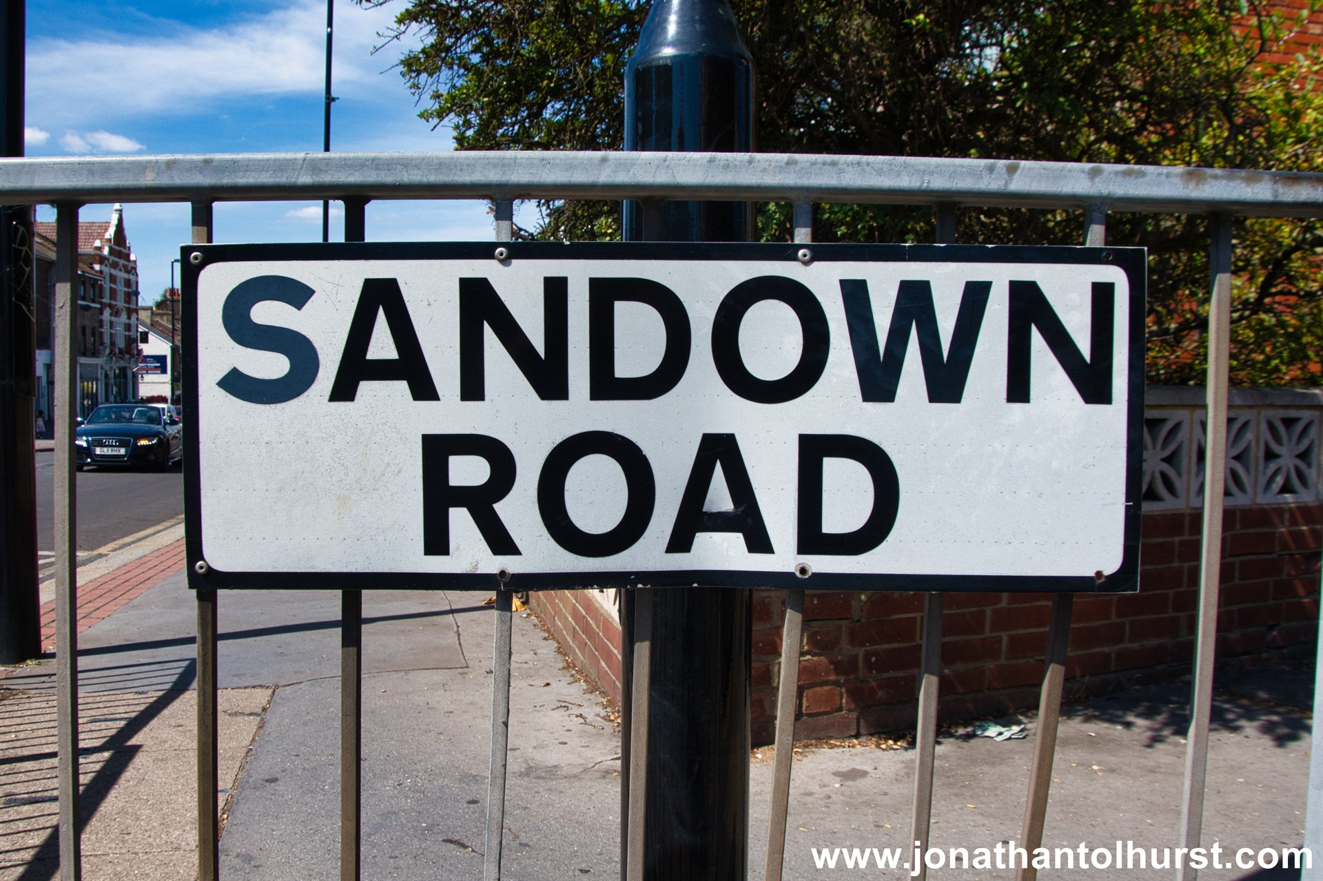
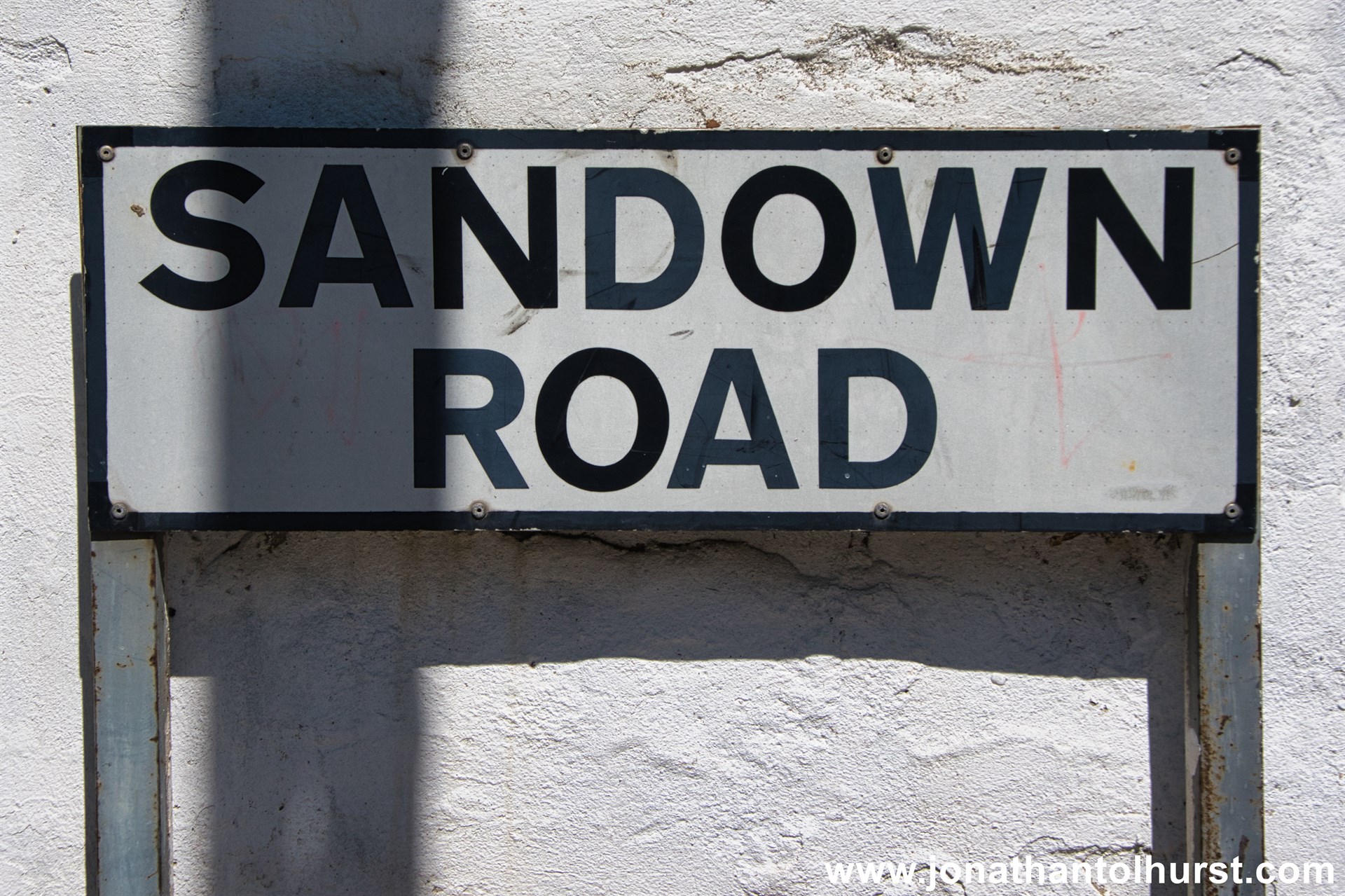
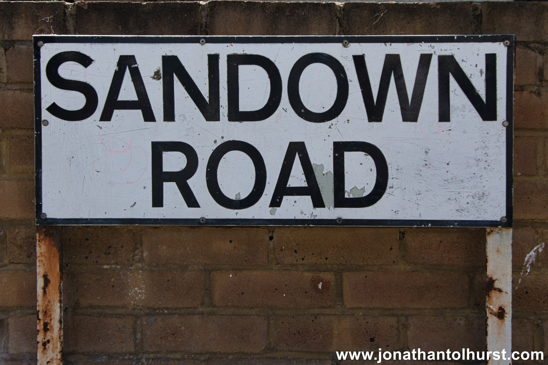
- Sandown Road
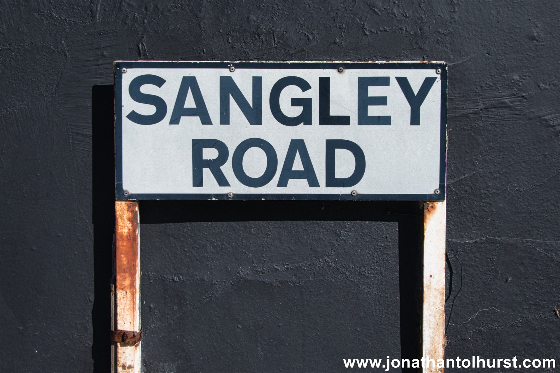
- Sangley Road
- Selhurst Road
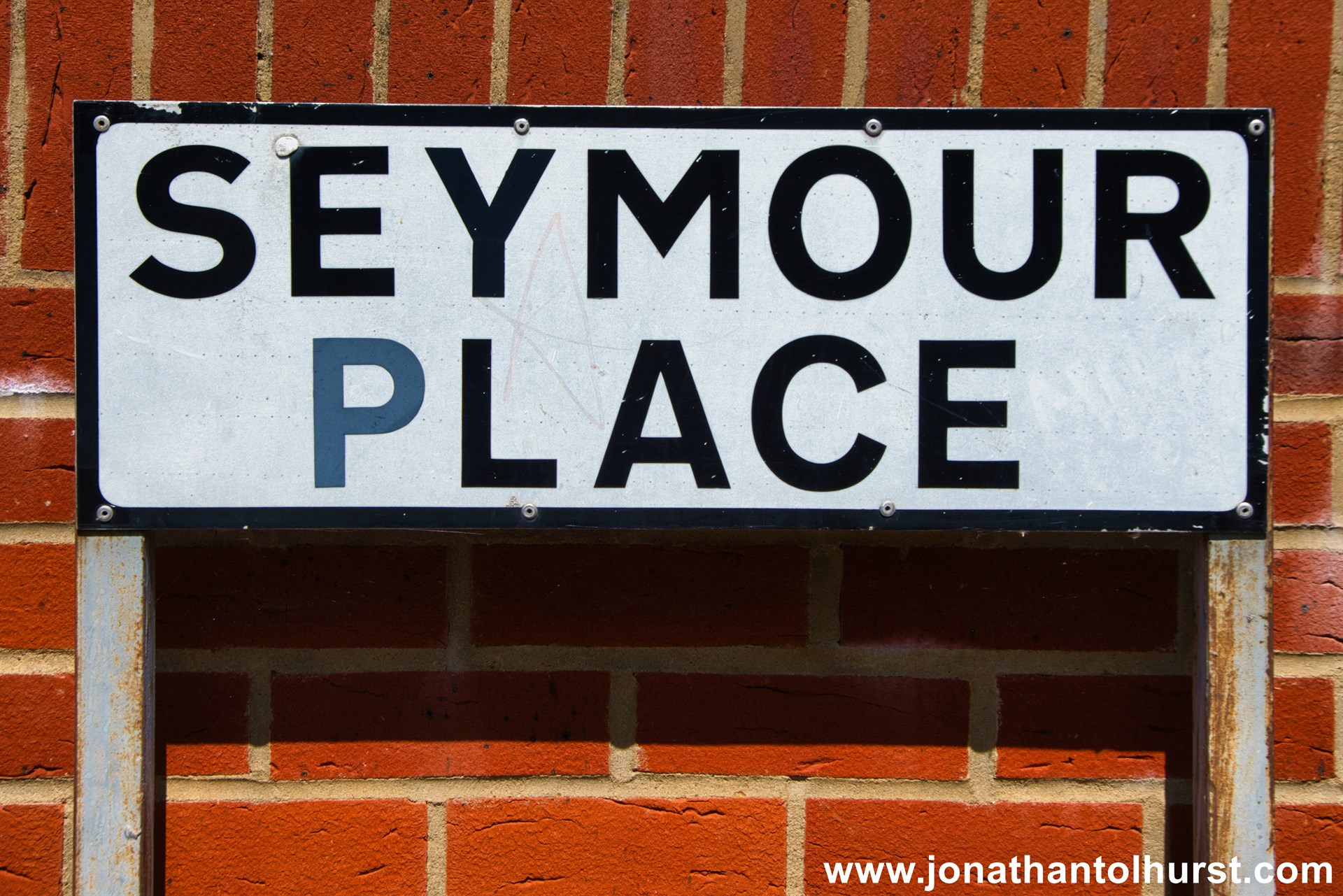
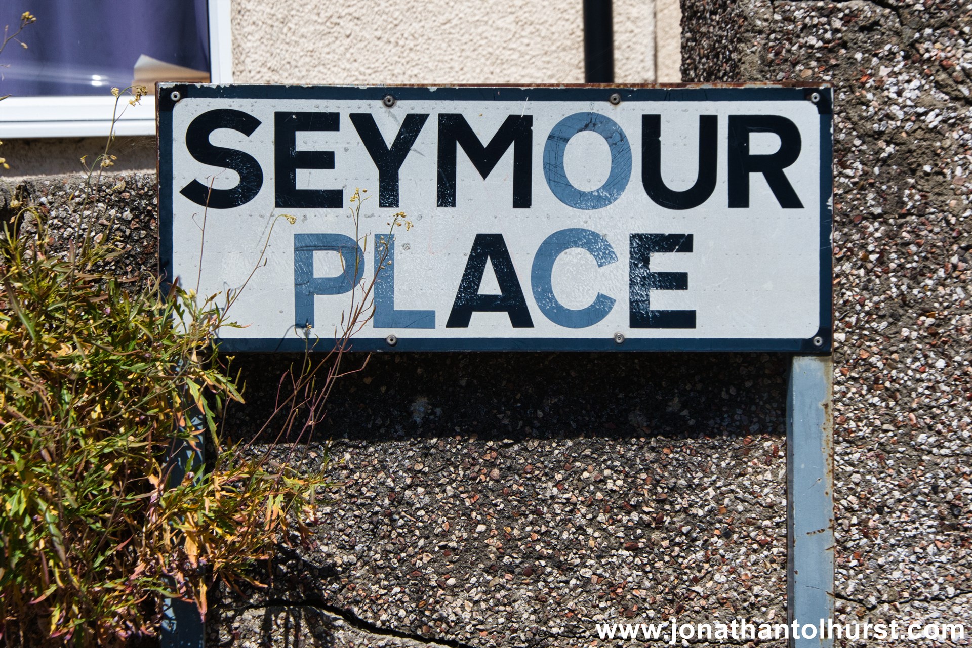
- Seymour Place
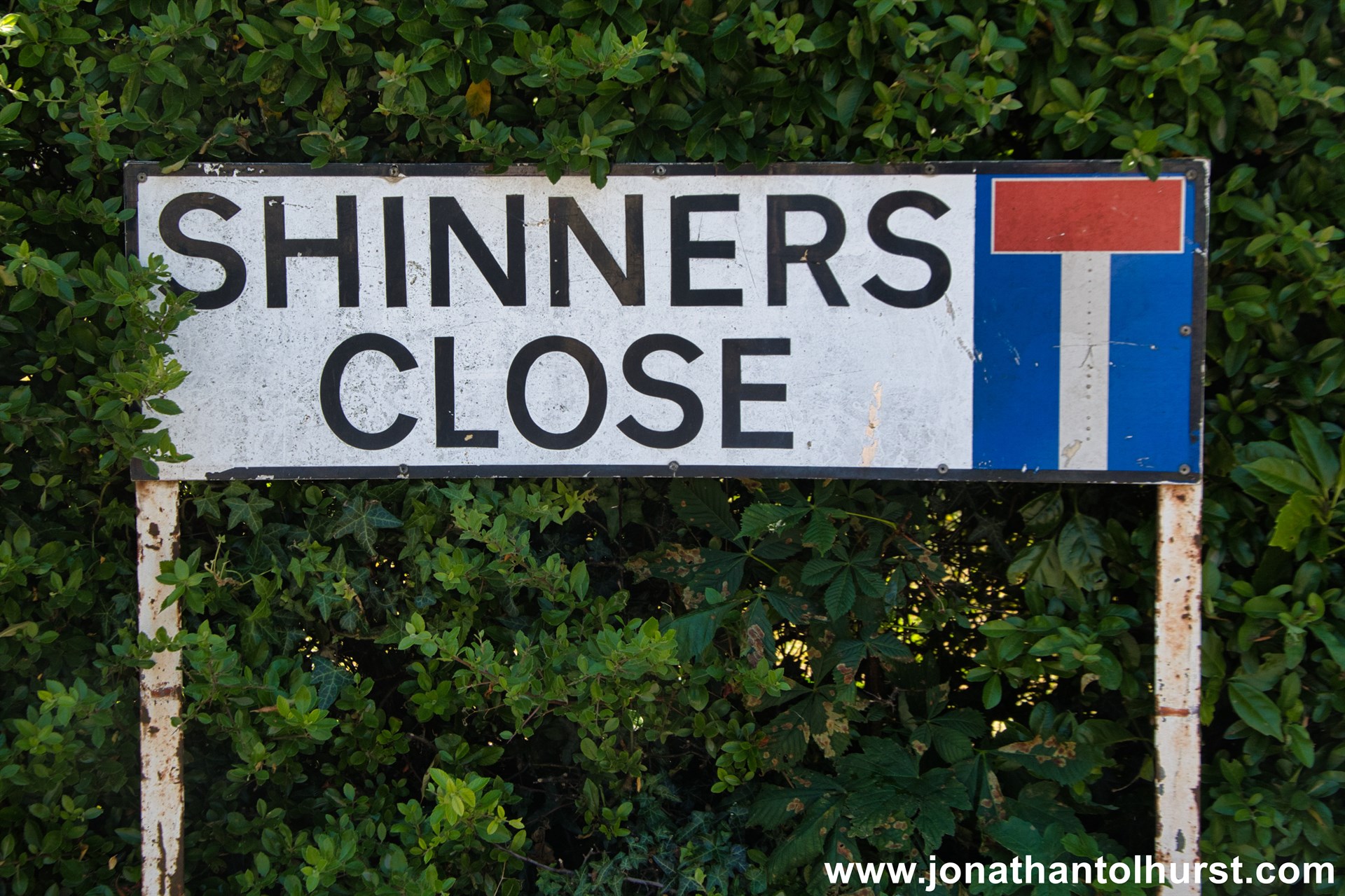
- Shinners Close
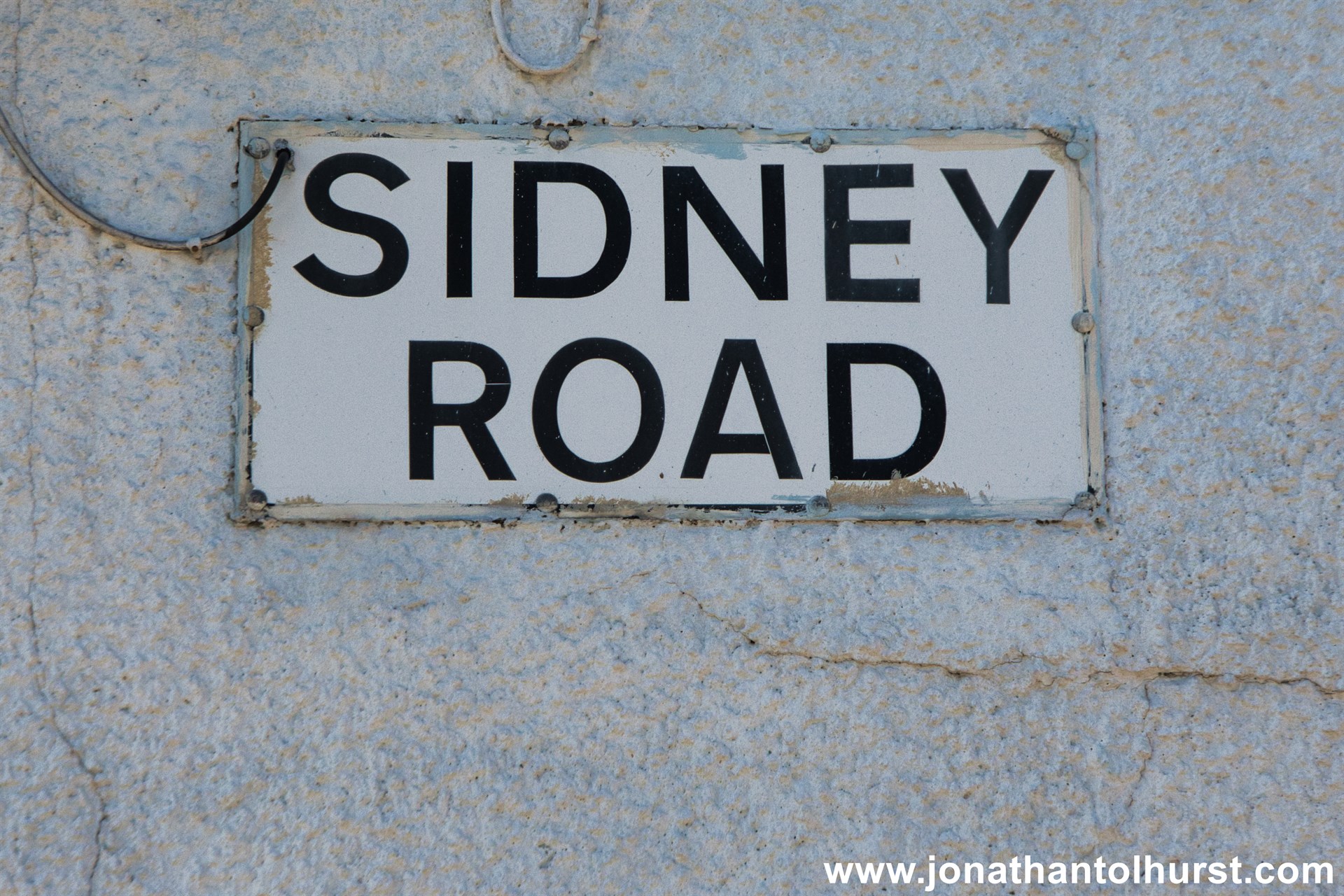
- Sidney Road
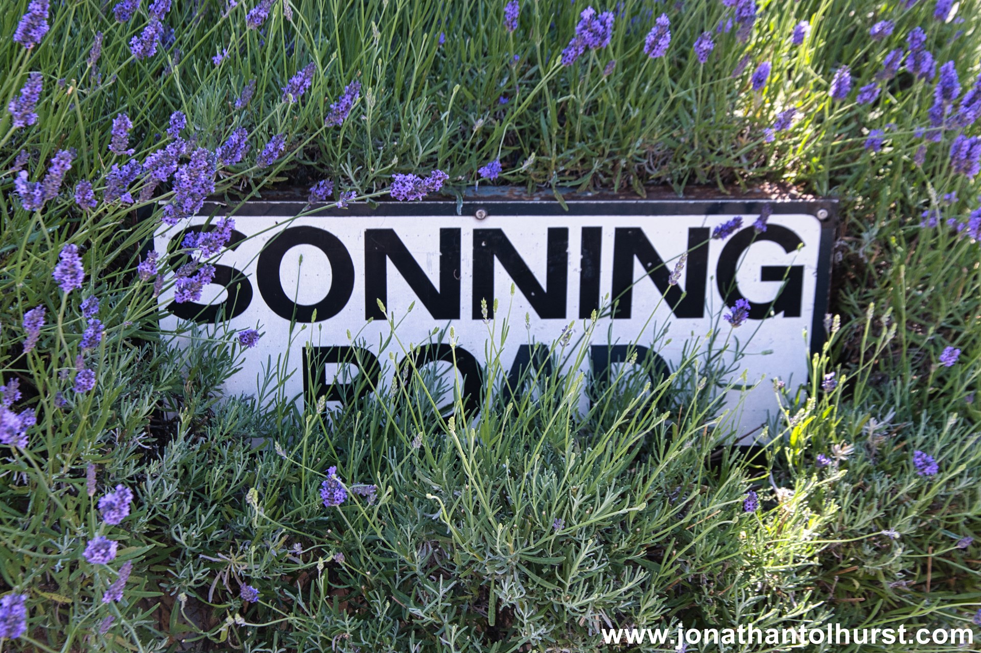
- Sonning Road
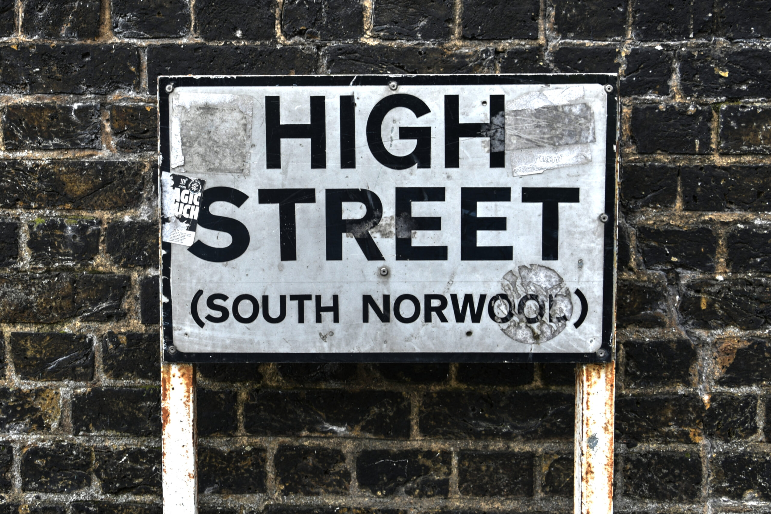
- South Norwood High Street
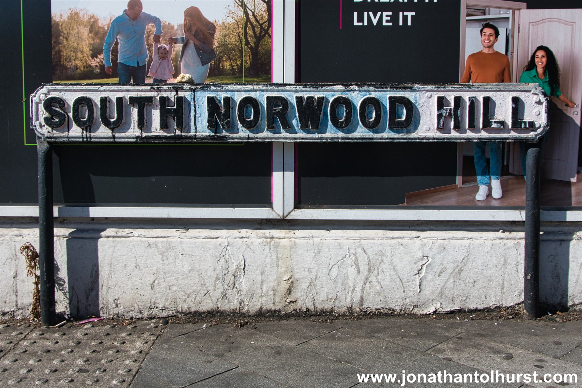
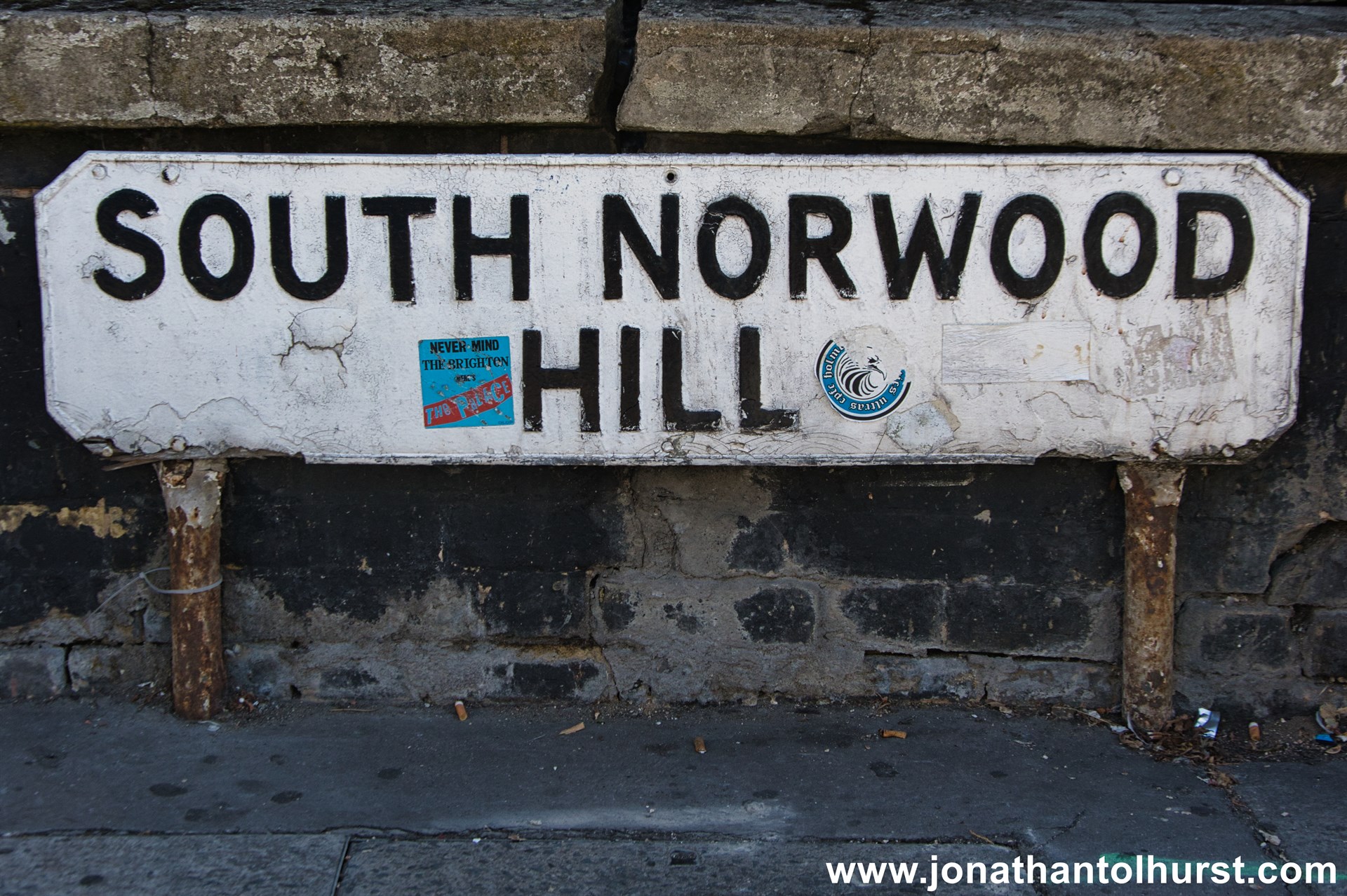
- South Norwood Hill
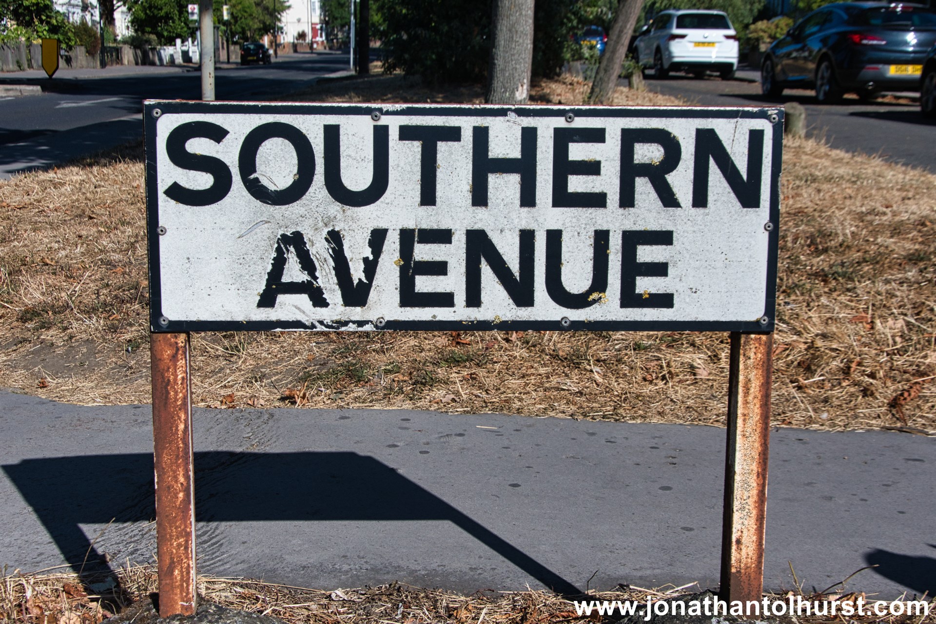
- Southern Avenue
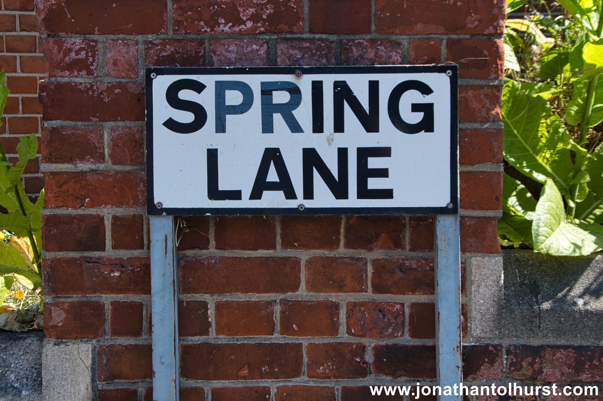
- Spring Lane
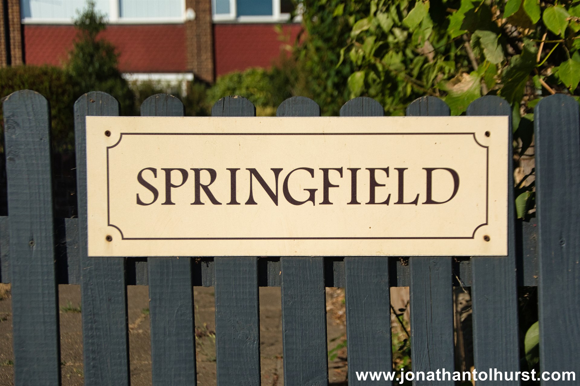
- Springfield
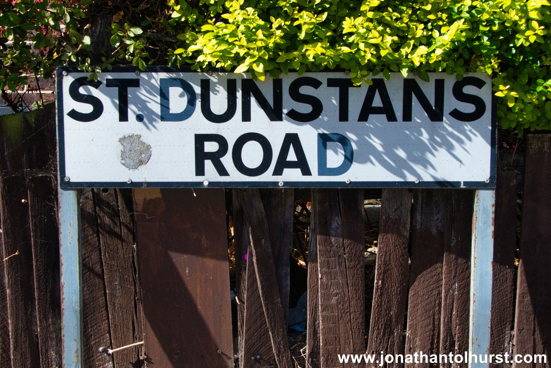
- St Dunstans Road
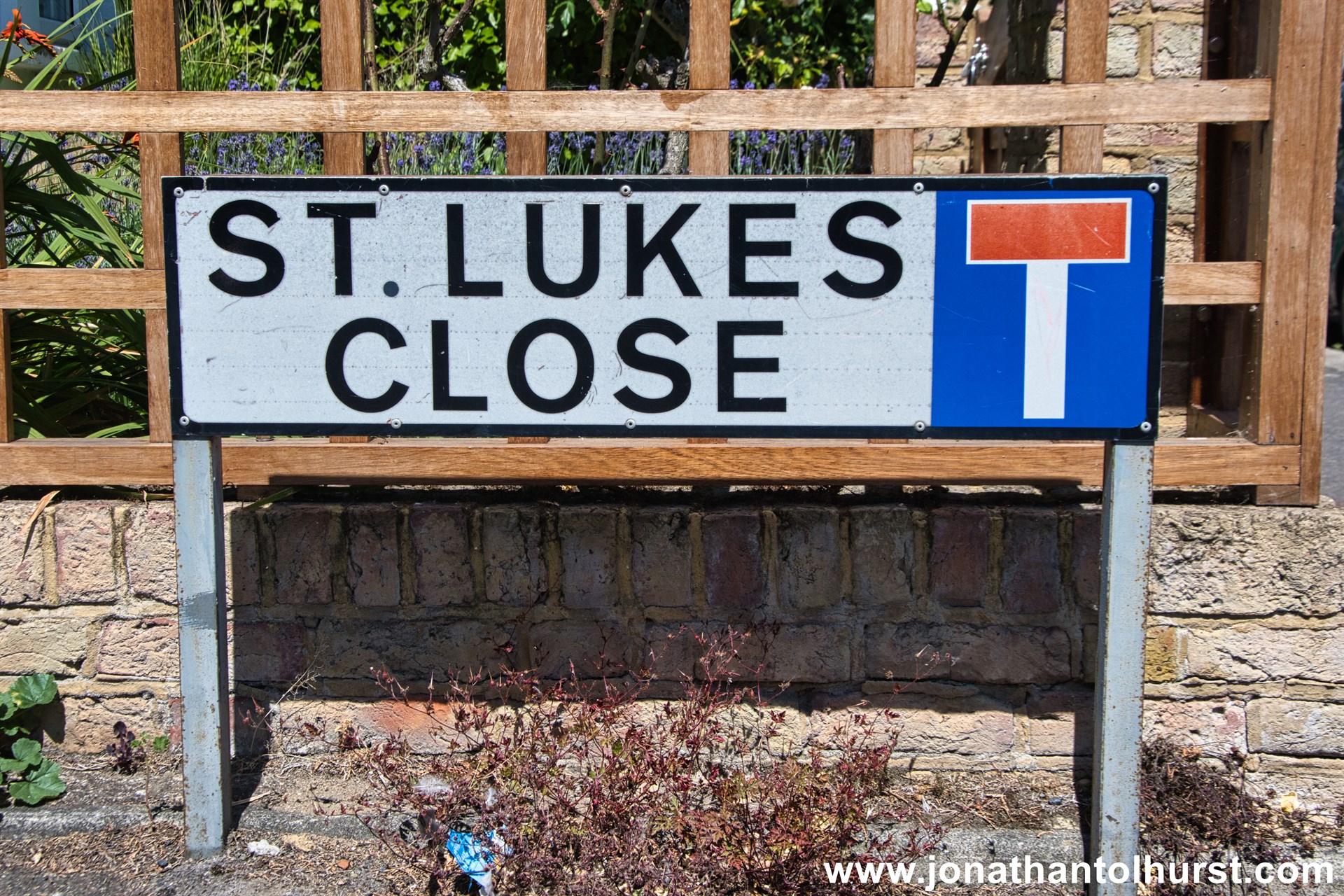
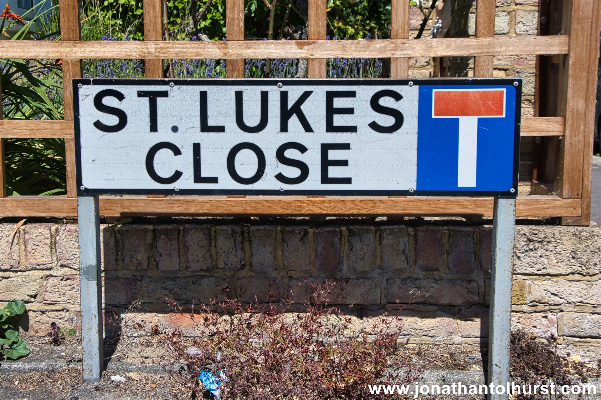
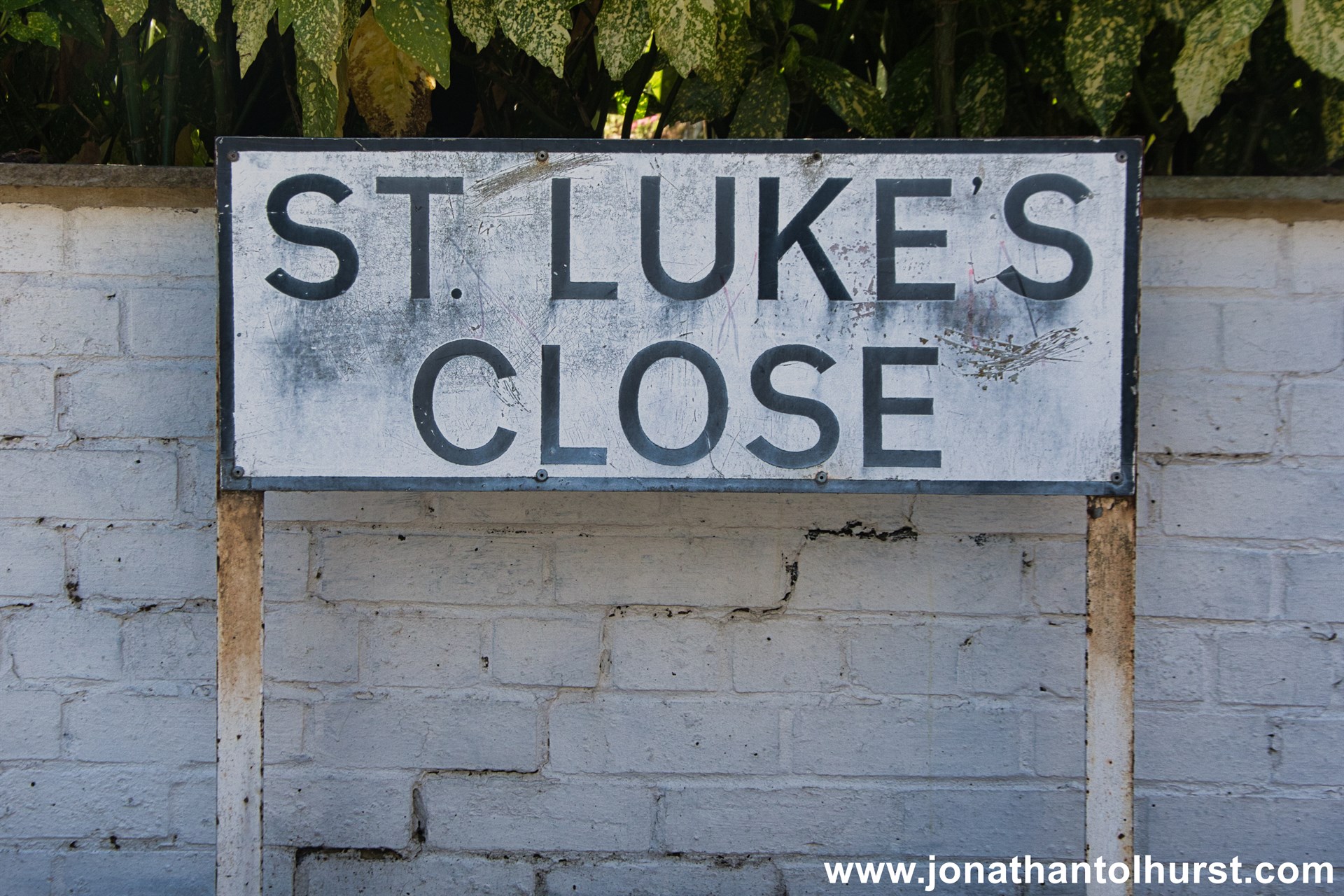
- St. Luke’s Close
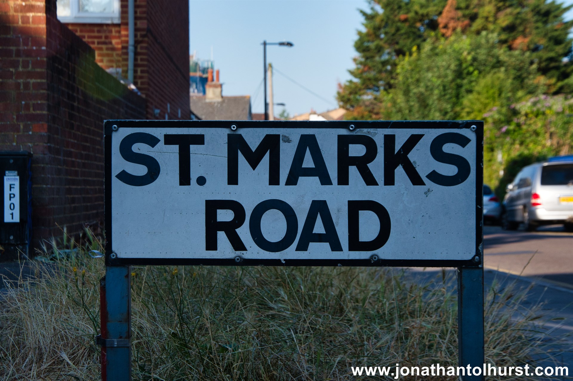
- St. Mark’s Road
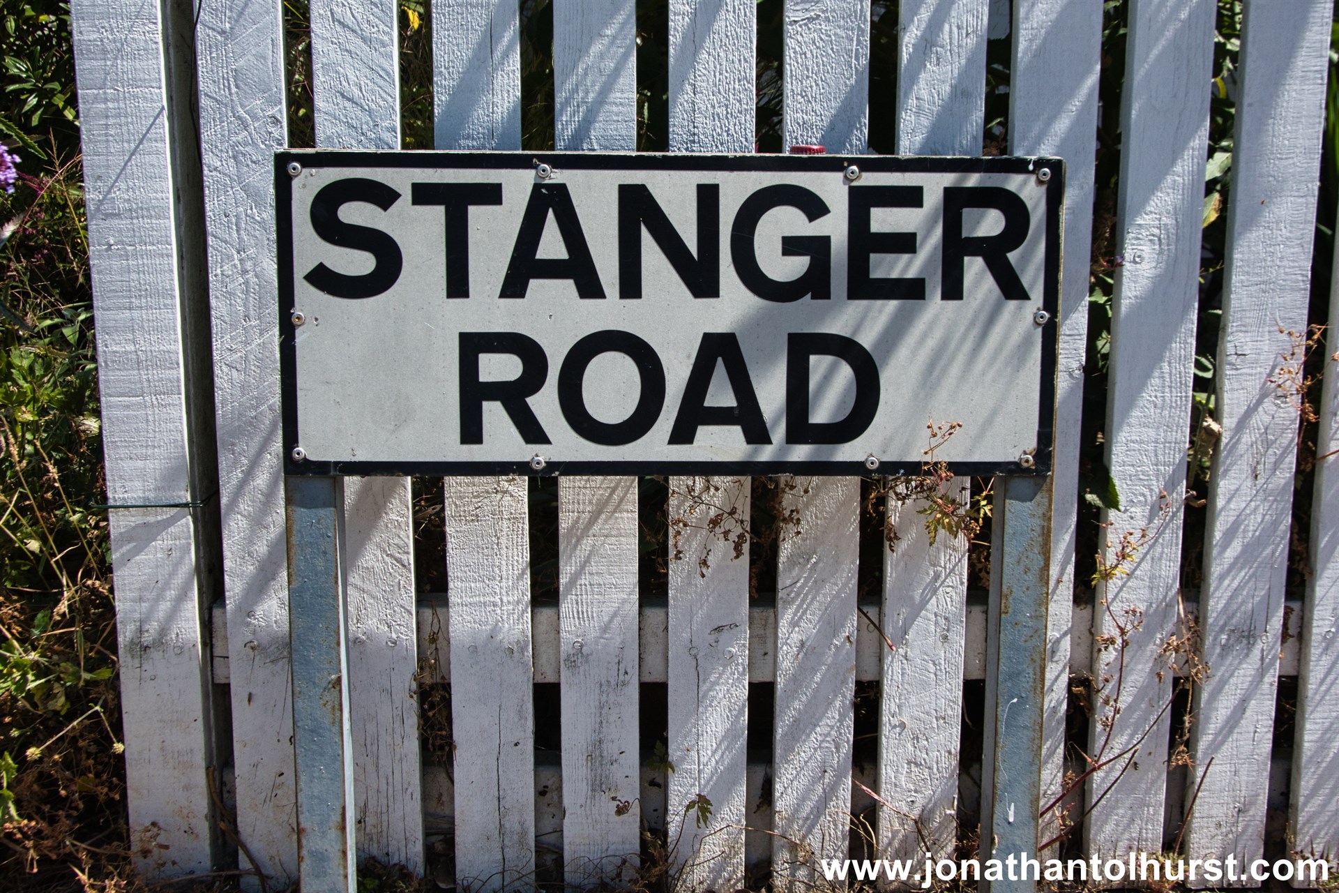
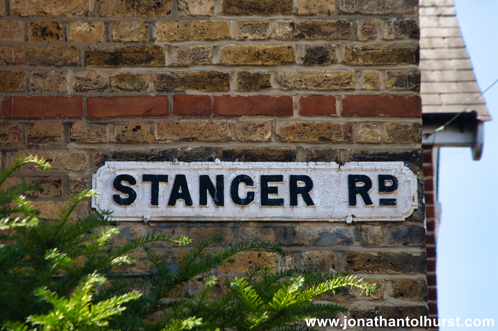
- Stanger Road
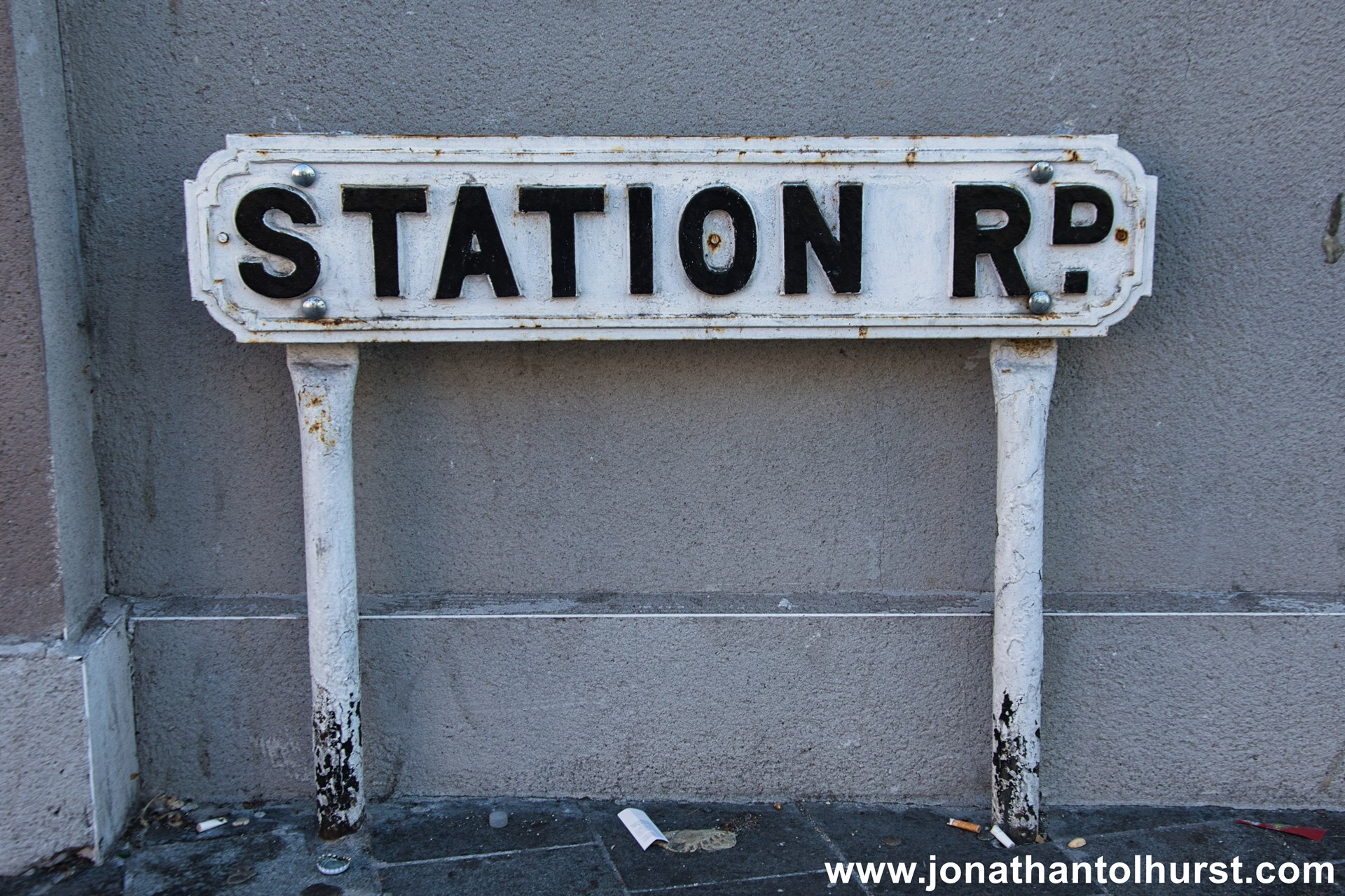
- Station Road
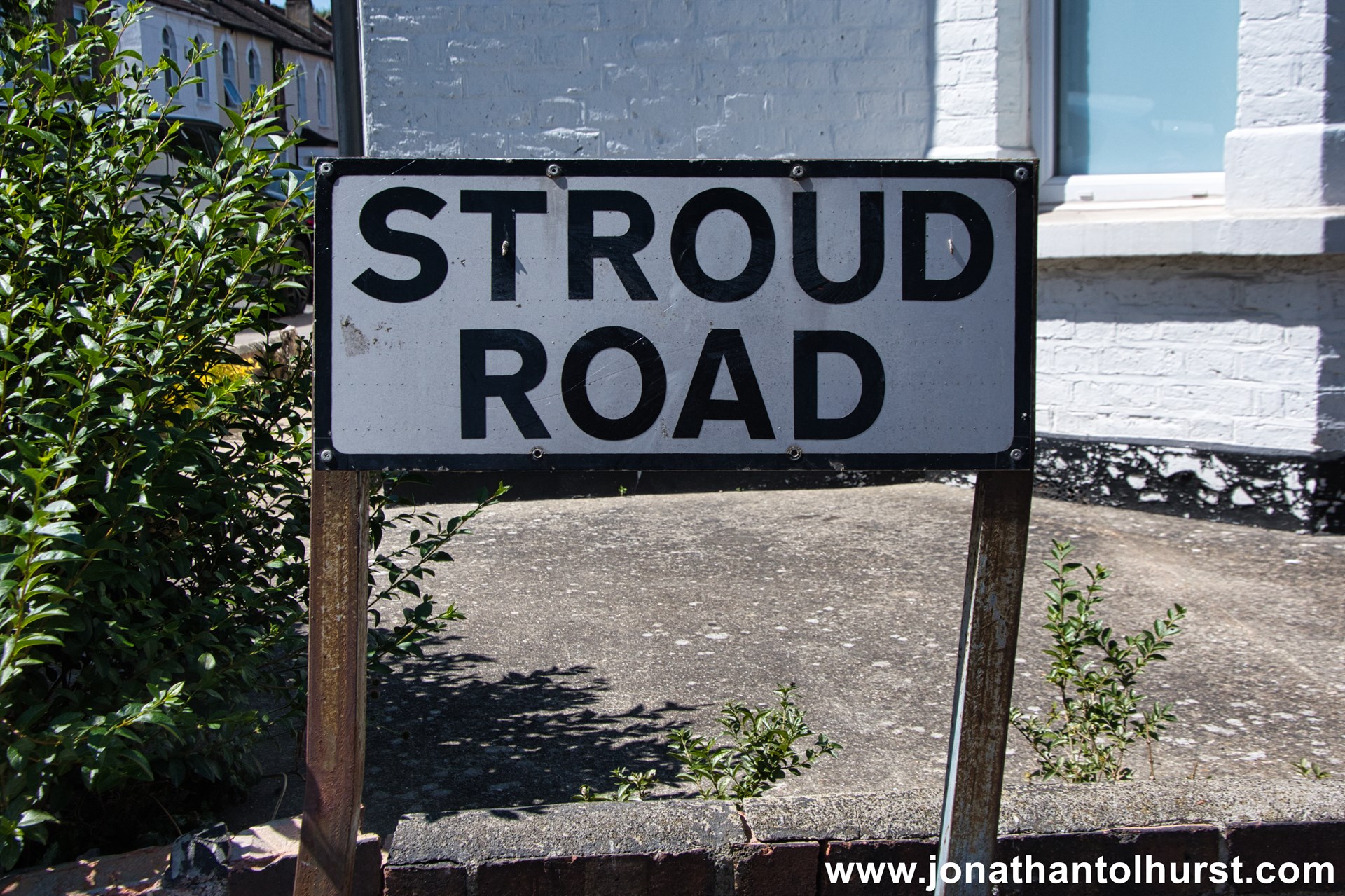
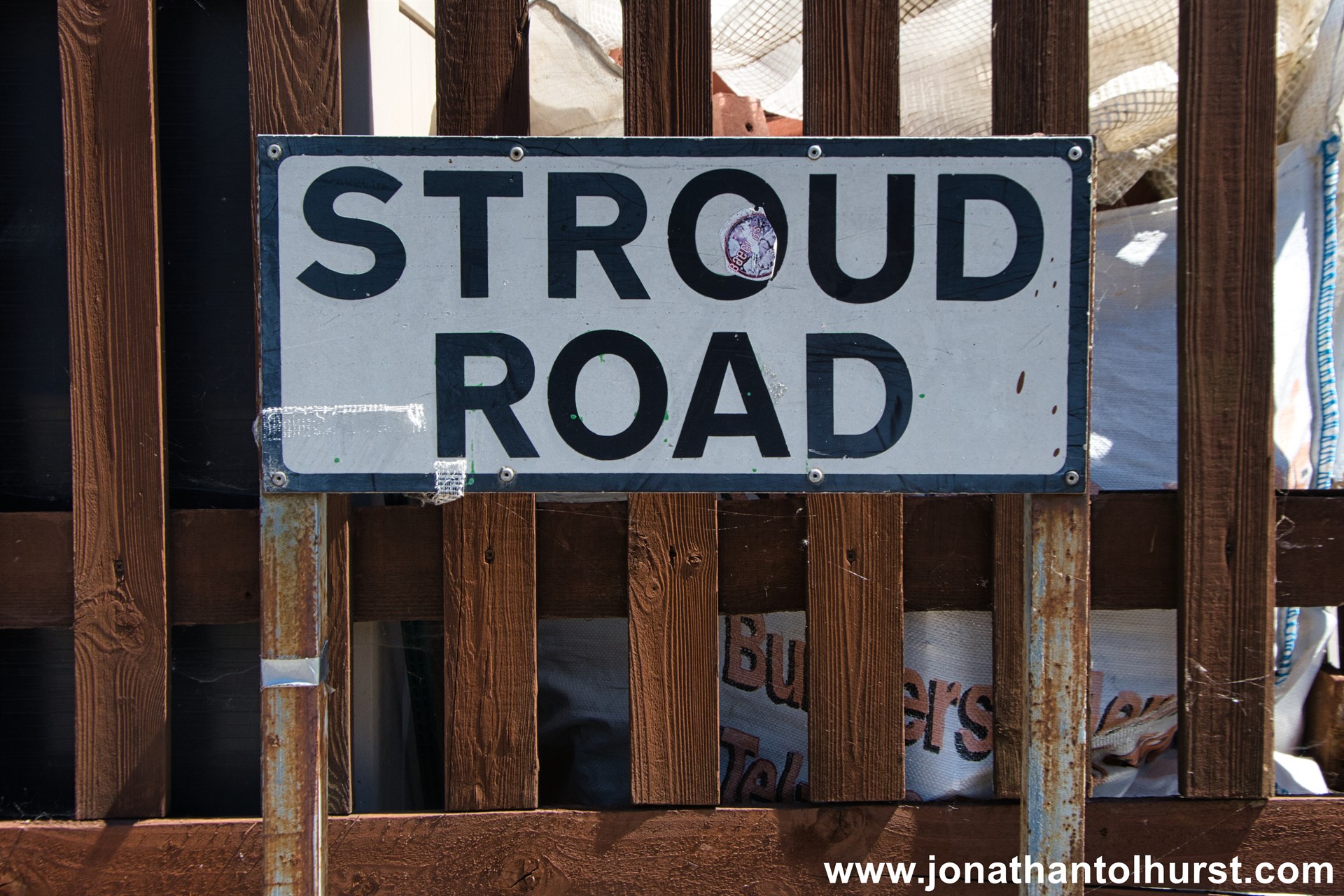
- Stroud Road
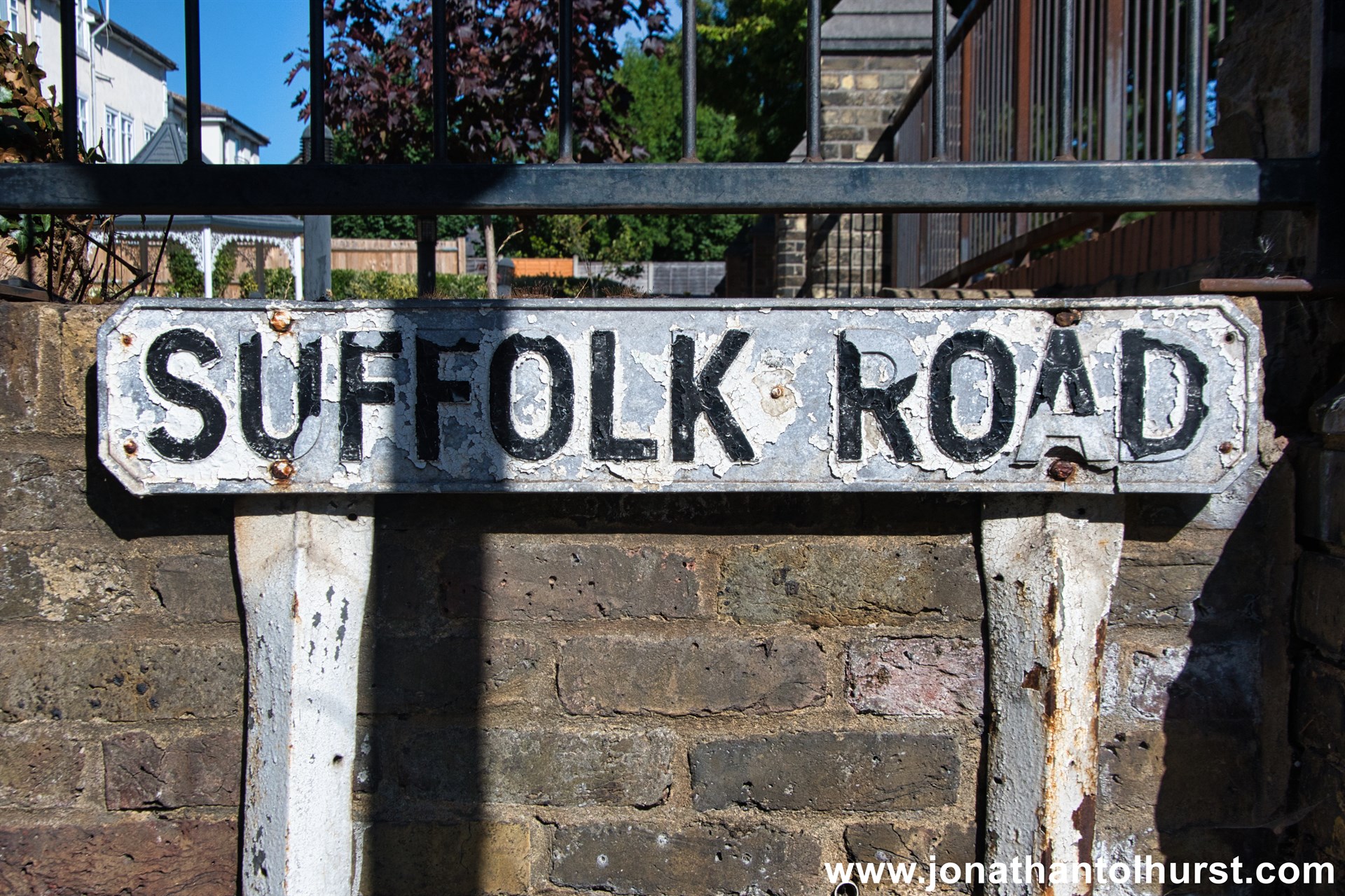
- Suffolk Road
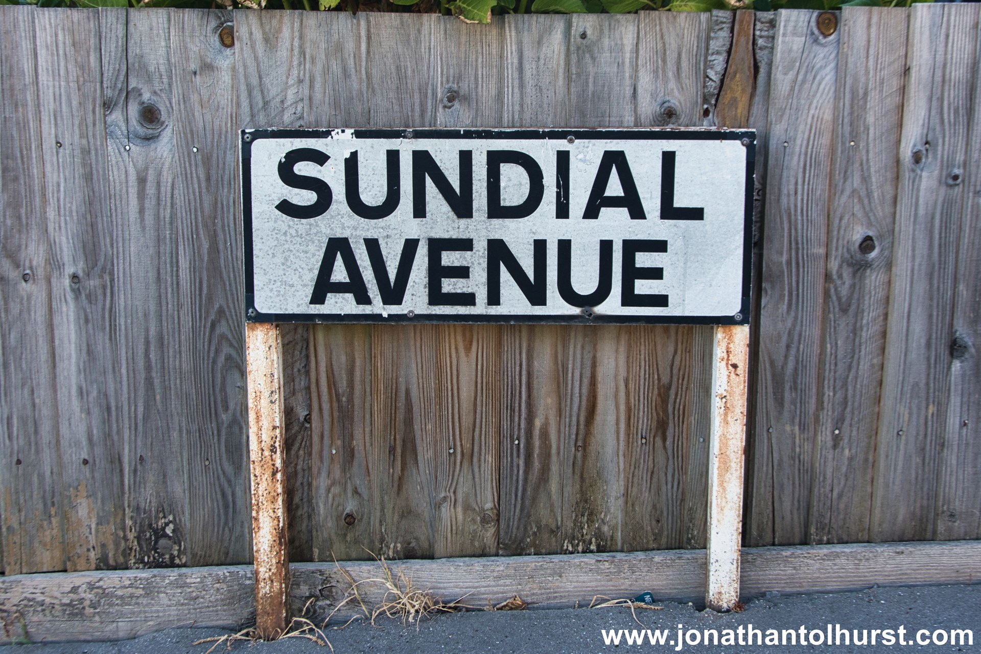
- Sundial Avenue
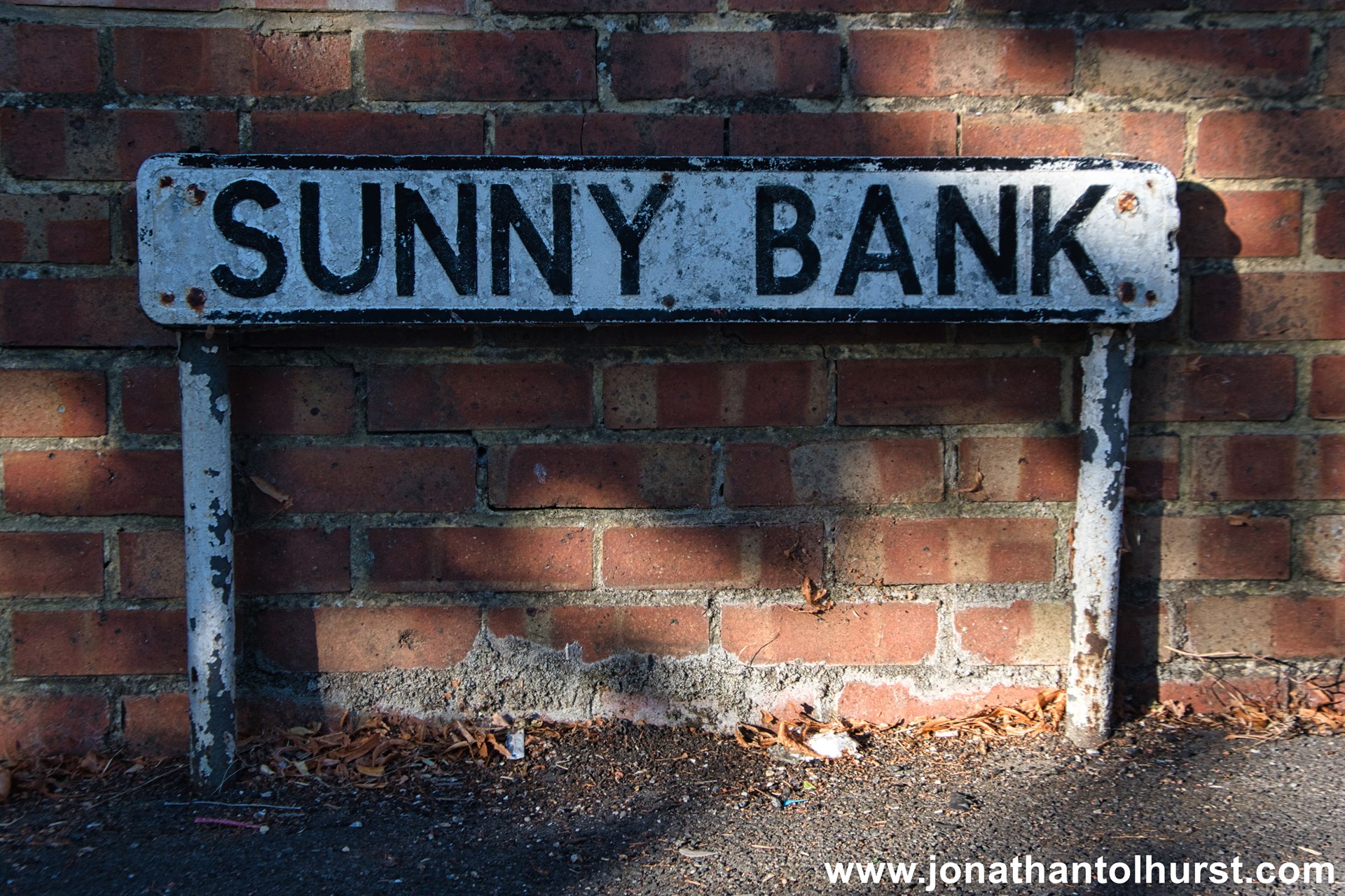
- Sunny Bank
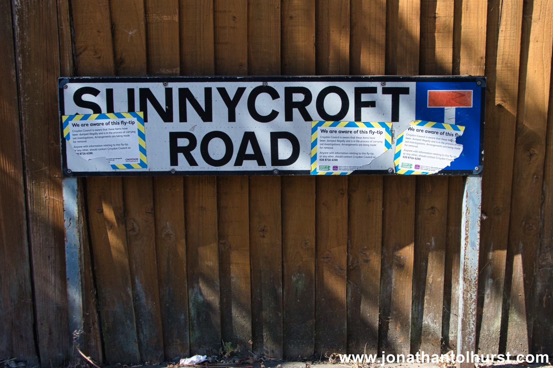
- Sunnycroft Road
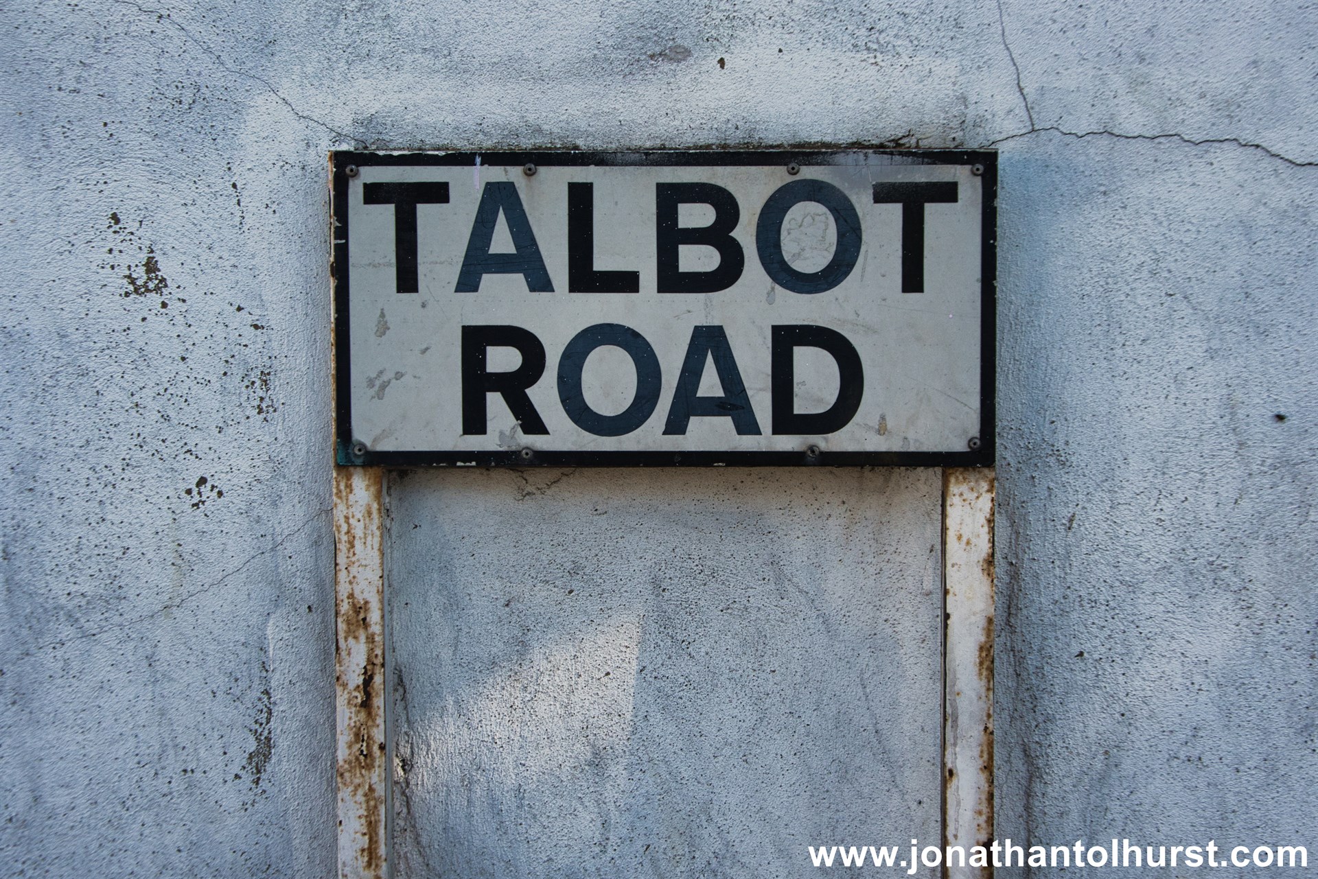
- Talbot Road
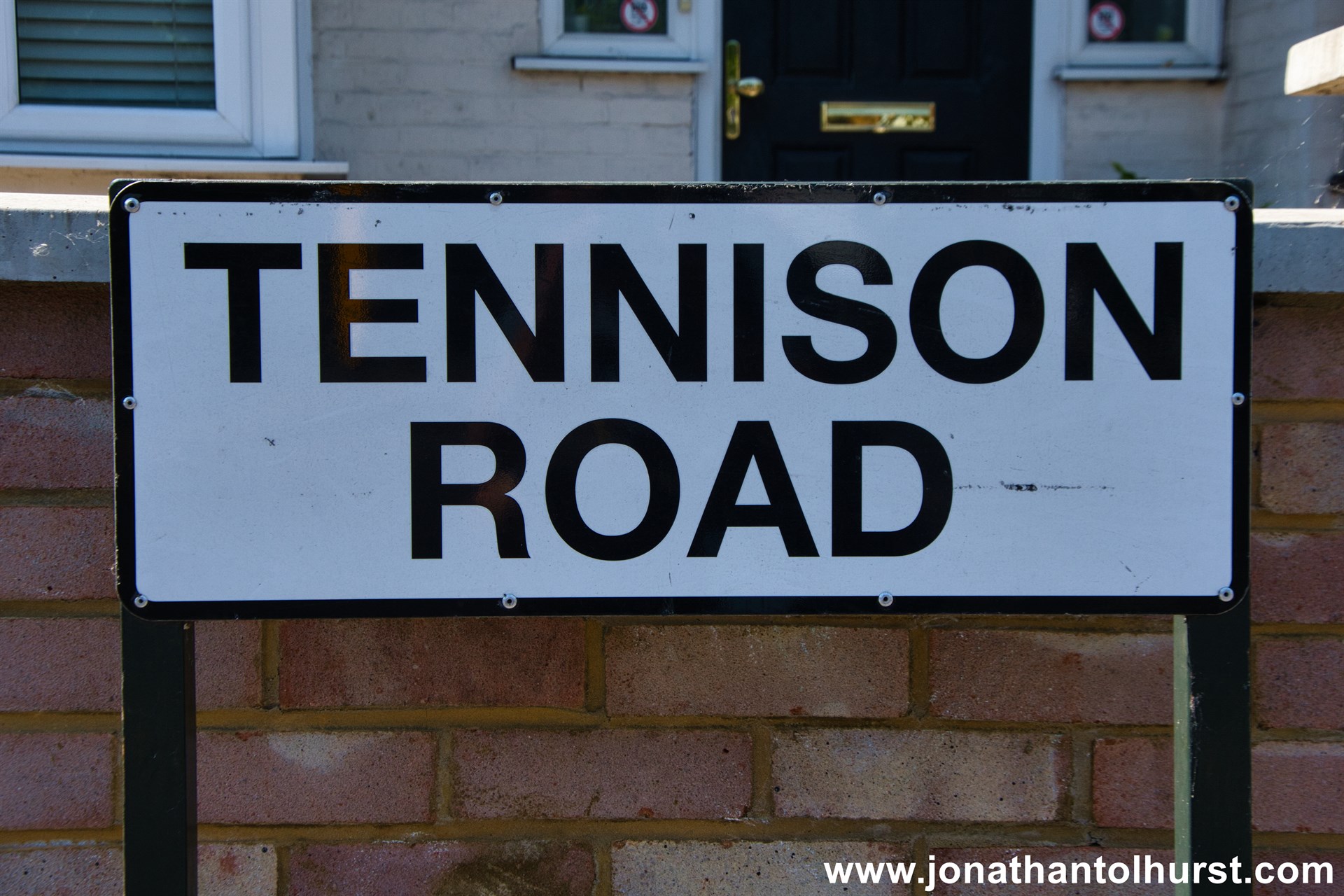
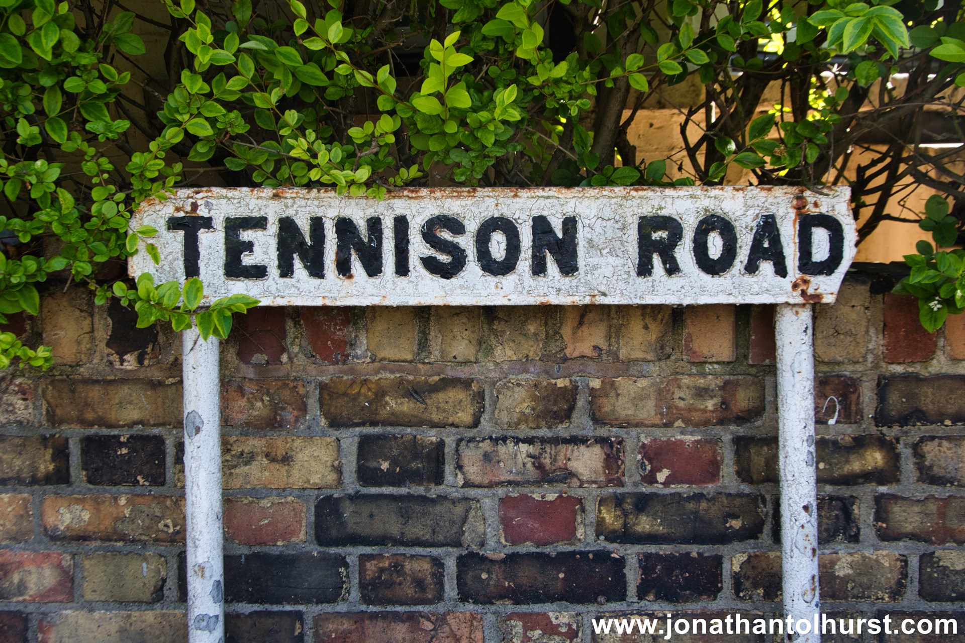
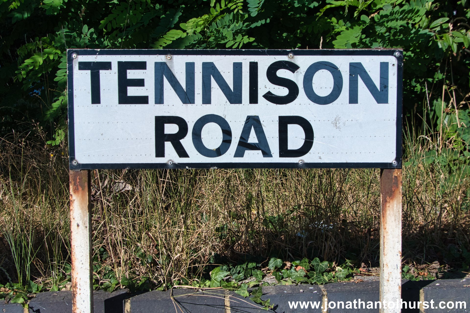
- Tennison Road
- Tennison Road
- The Bunny Hole
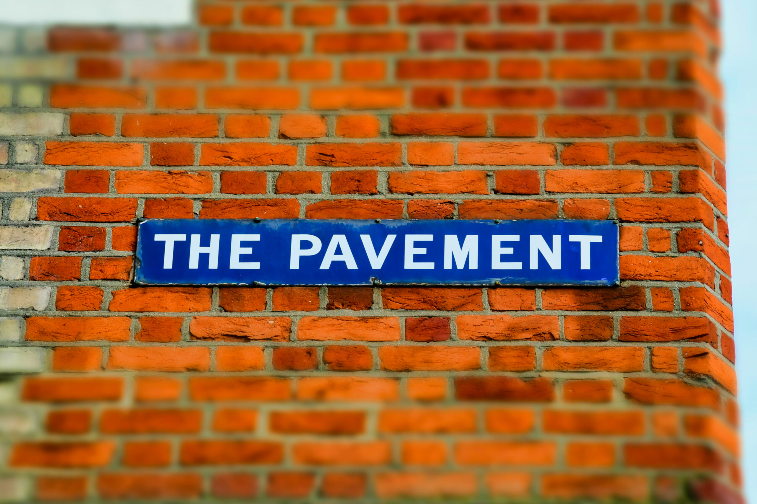
- The Pavement
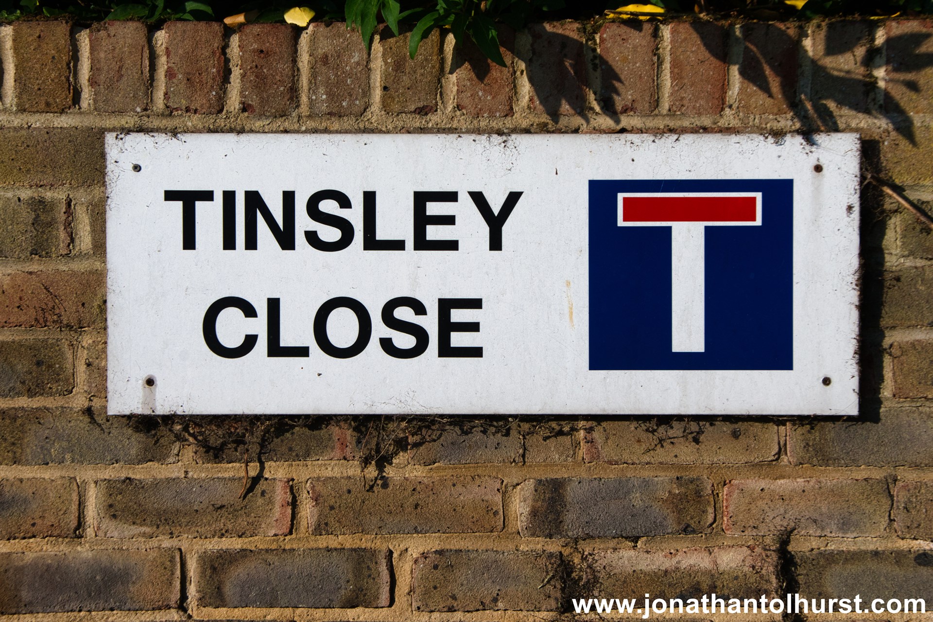
- Tinsley Close
- Towpath Way
- Upper Grove
- Walters Road
- Warminster Gardens
- Warminster Road
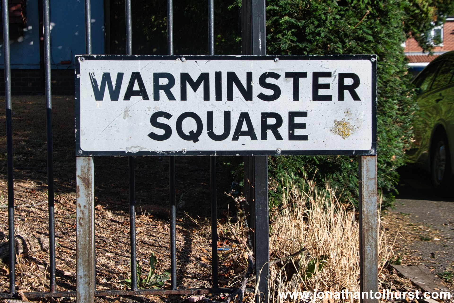
- Warminster Square
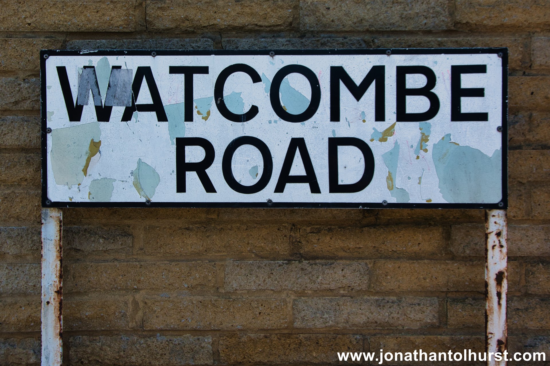
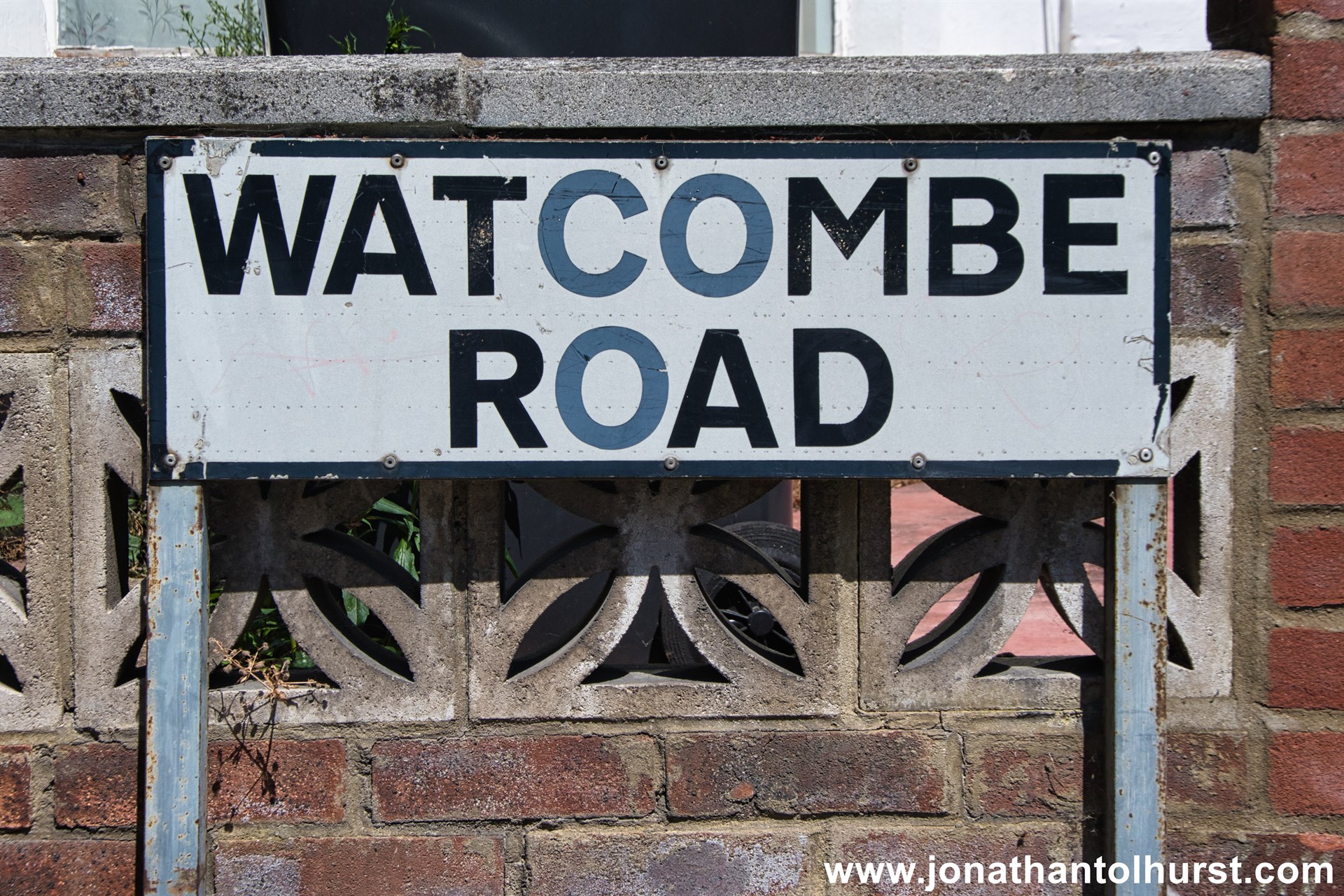
- Watcombe Road
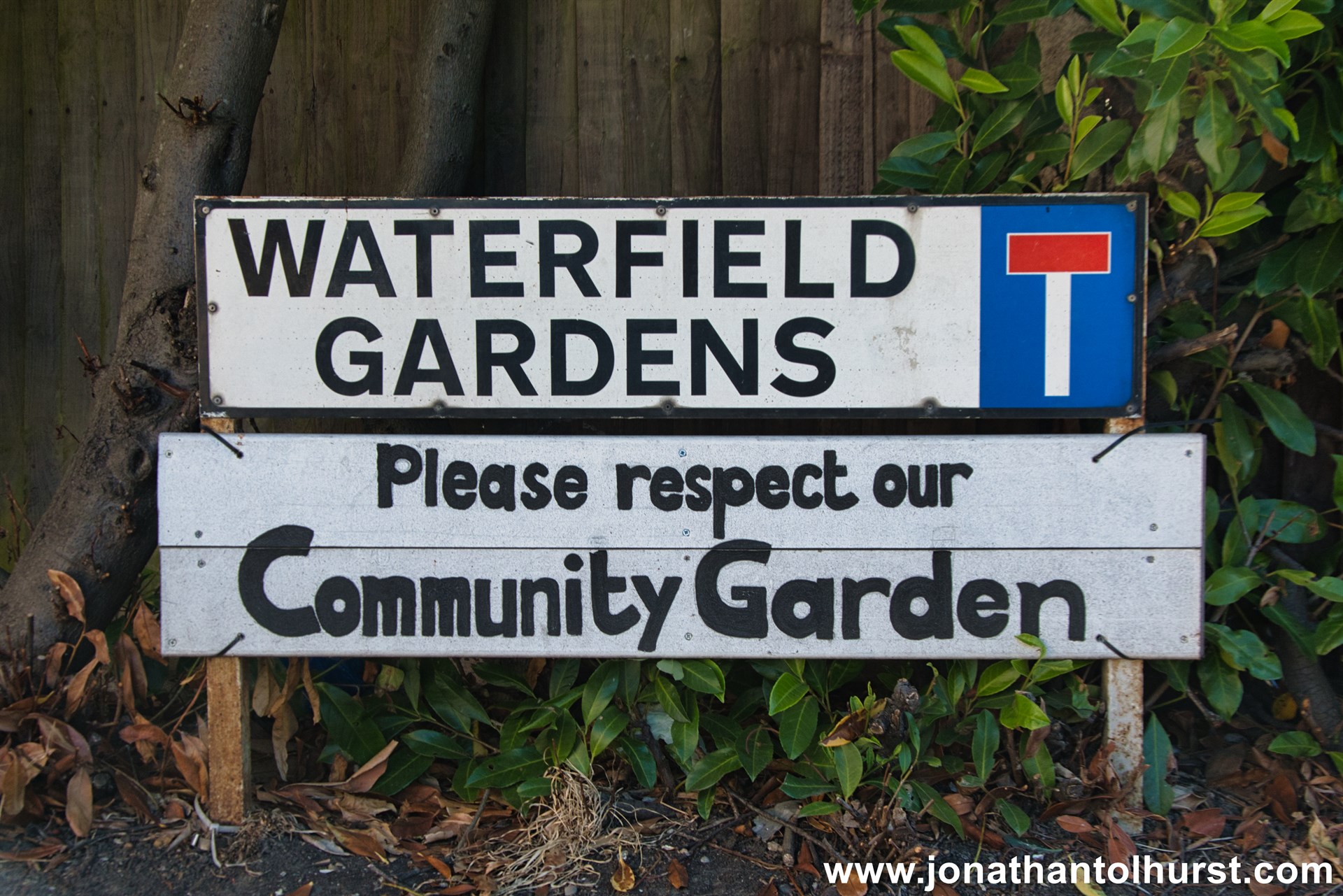
- Waterfield Gardens
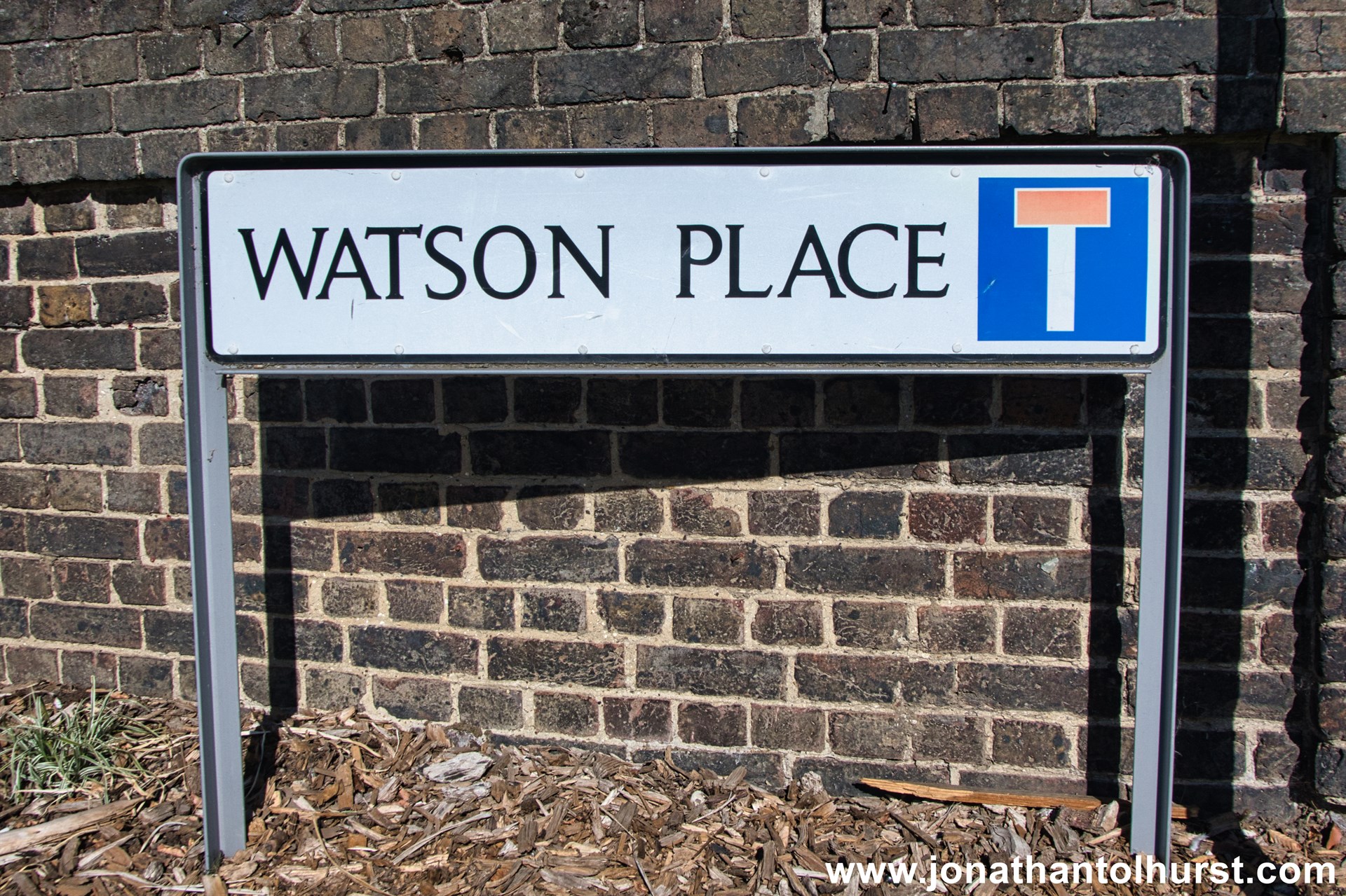
- Watson Place
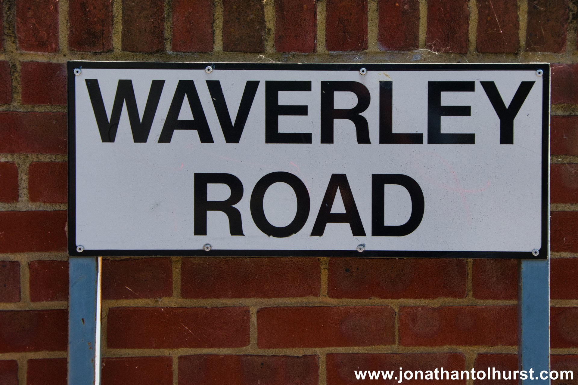
- Waverley Road
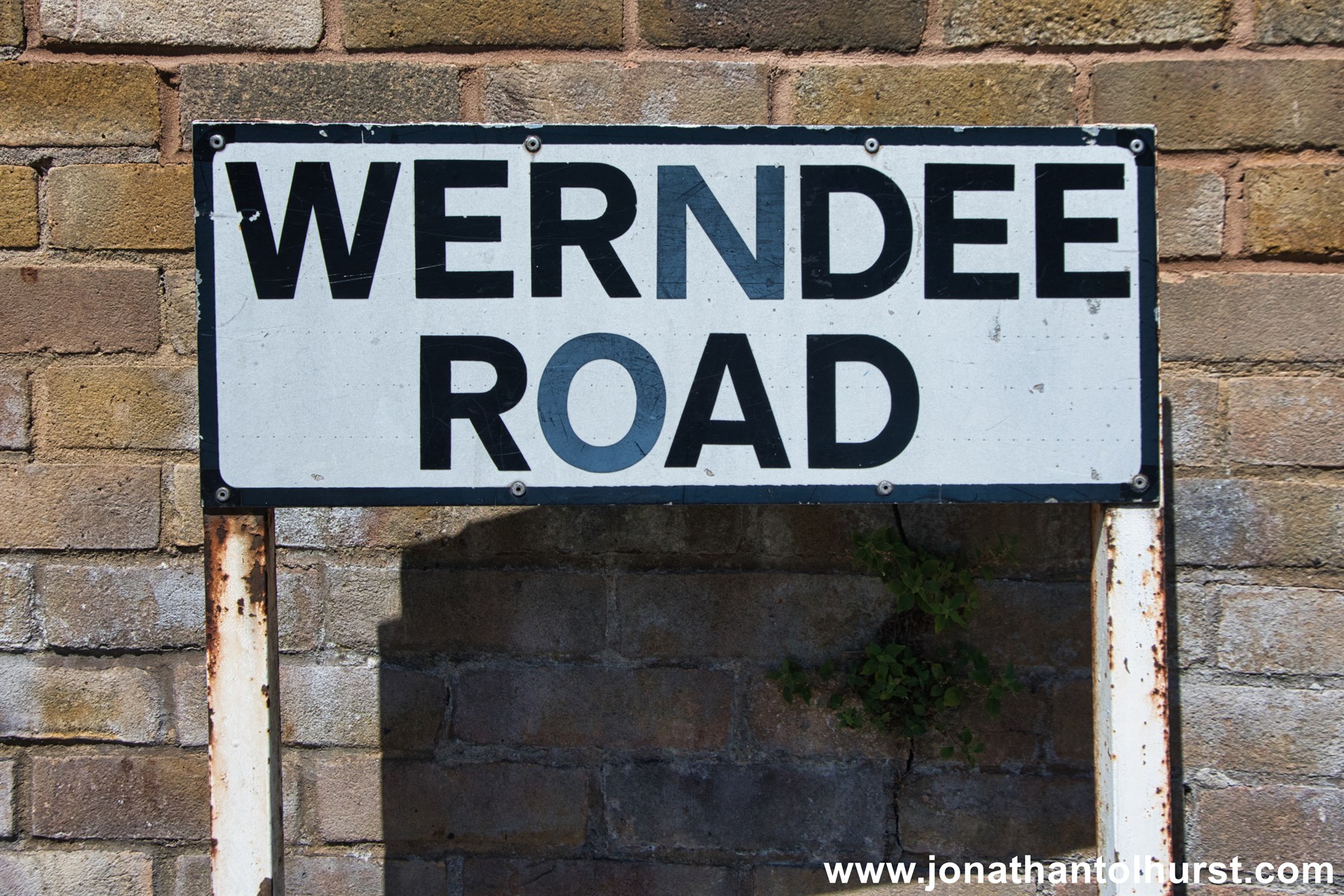
- Werndee Road
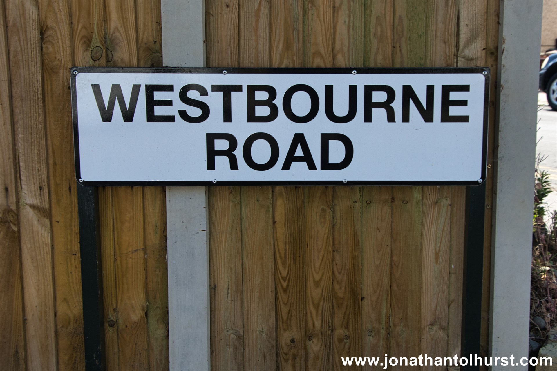
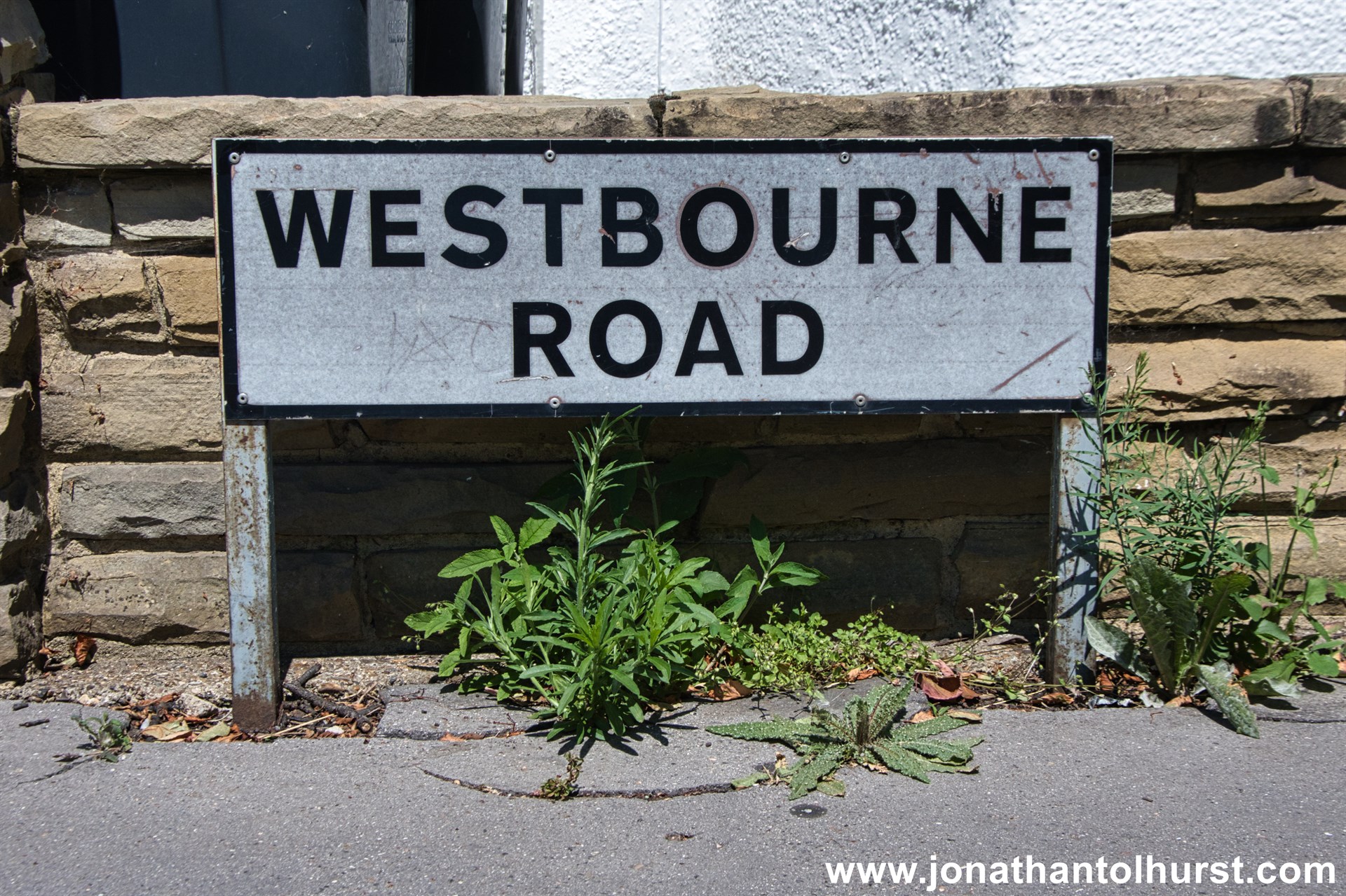
- Westbourne Road
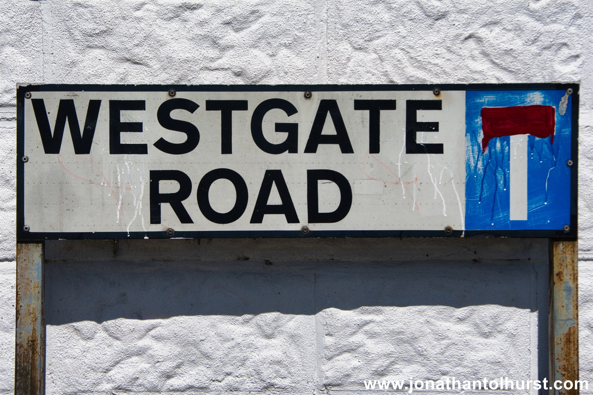
- Westgate Road
- Whitehorse Lane
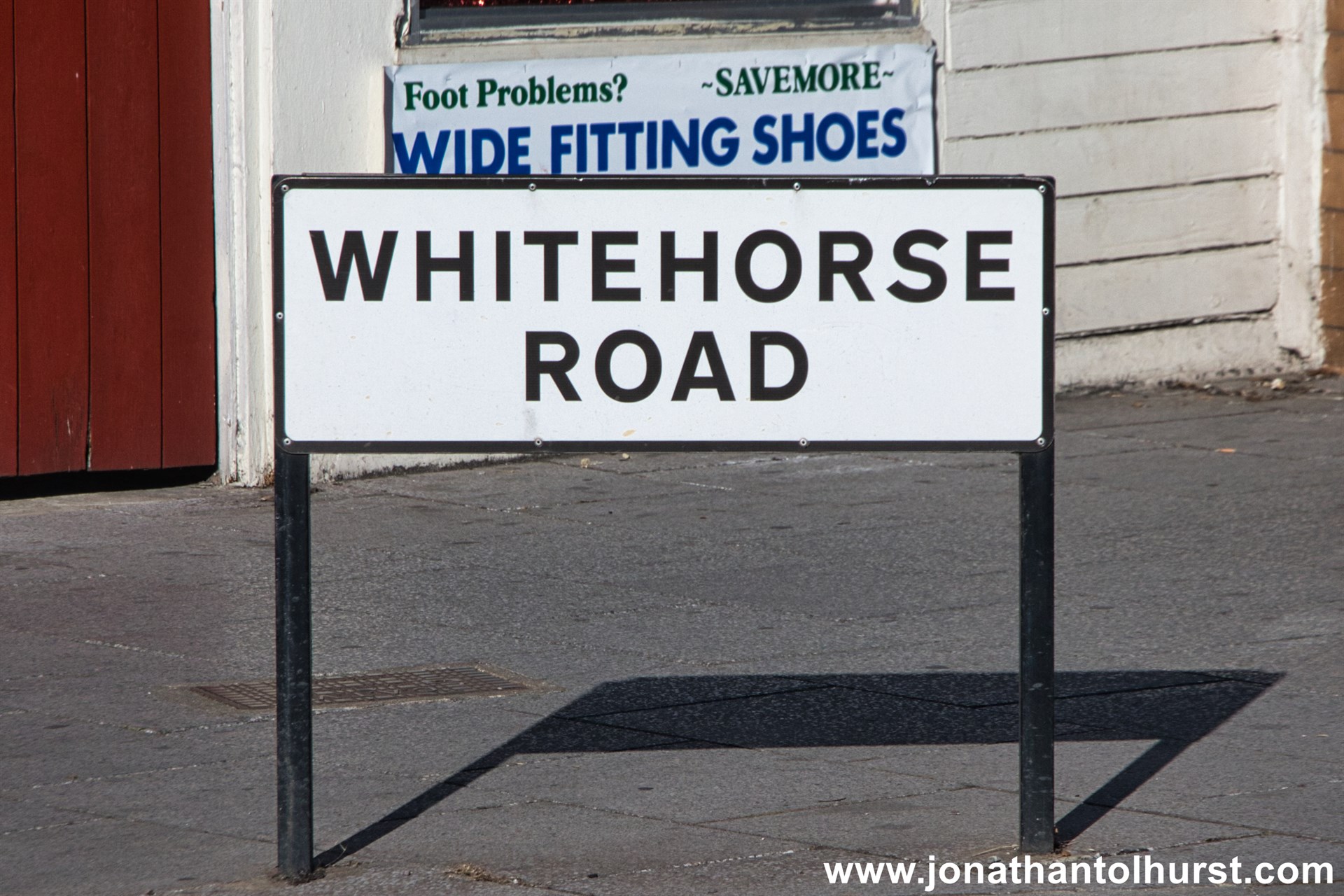
- Whitehorse Road
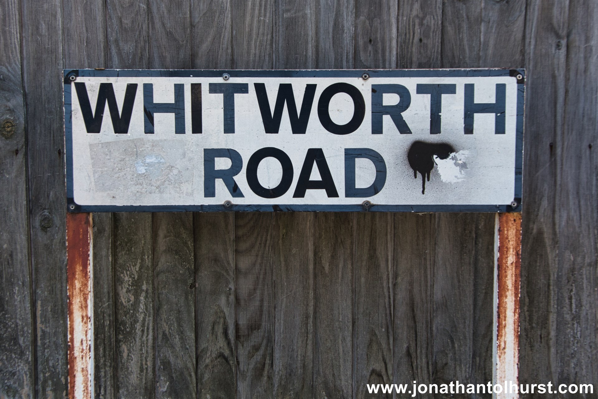
- Whitworth Road
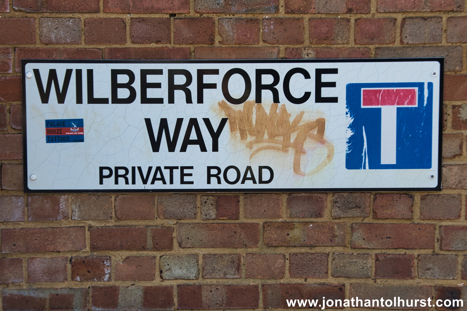
- Wilberforce Way
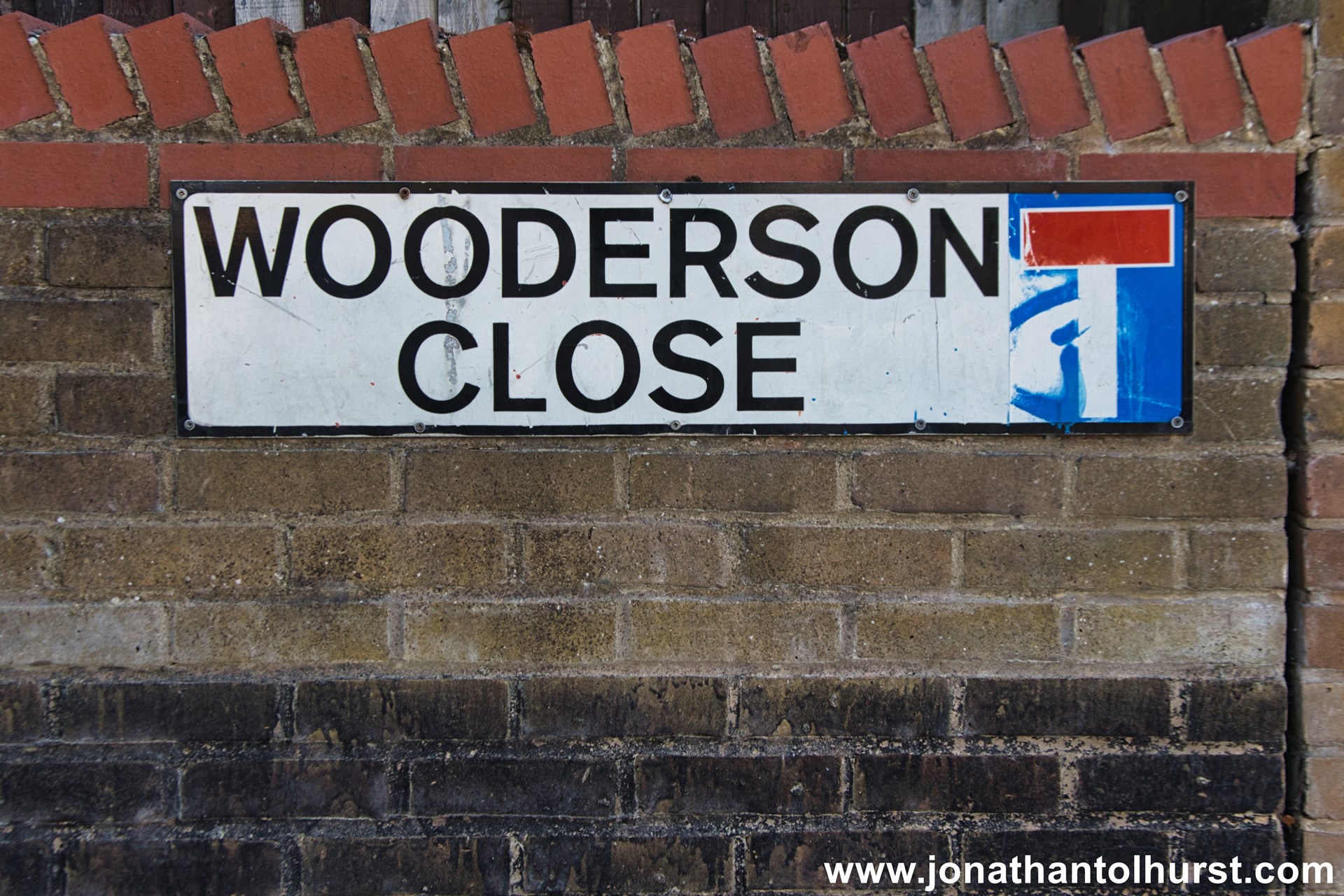
- Wooderson Close
- Woodside Avenue
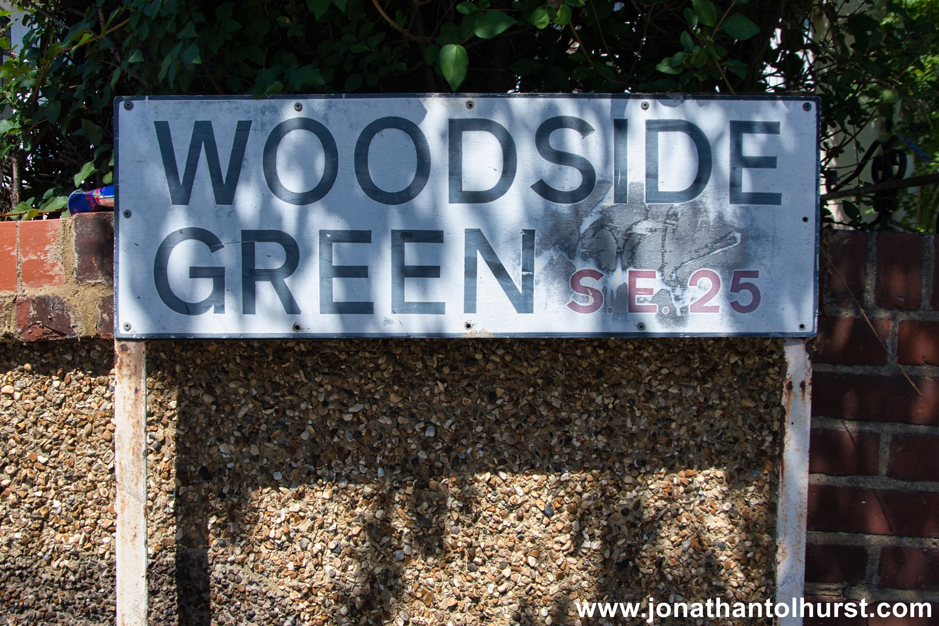
- Woodside Green
- Woodside Park
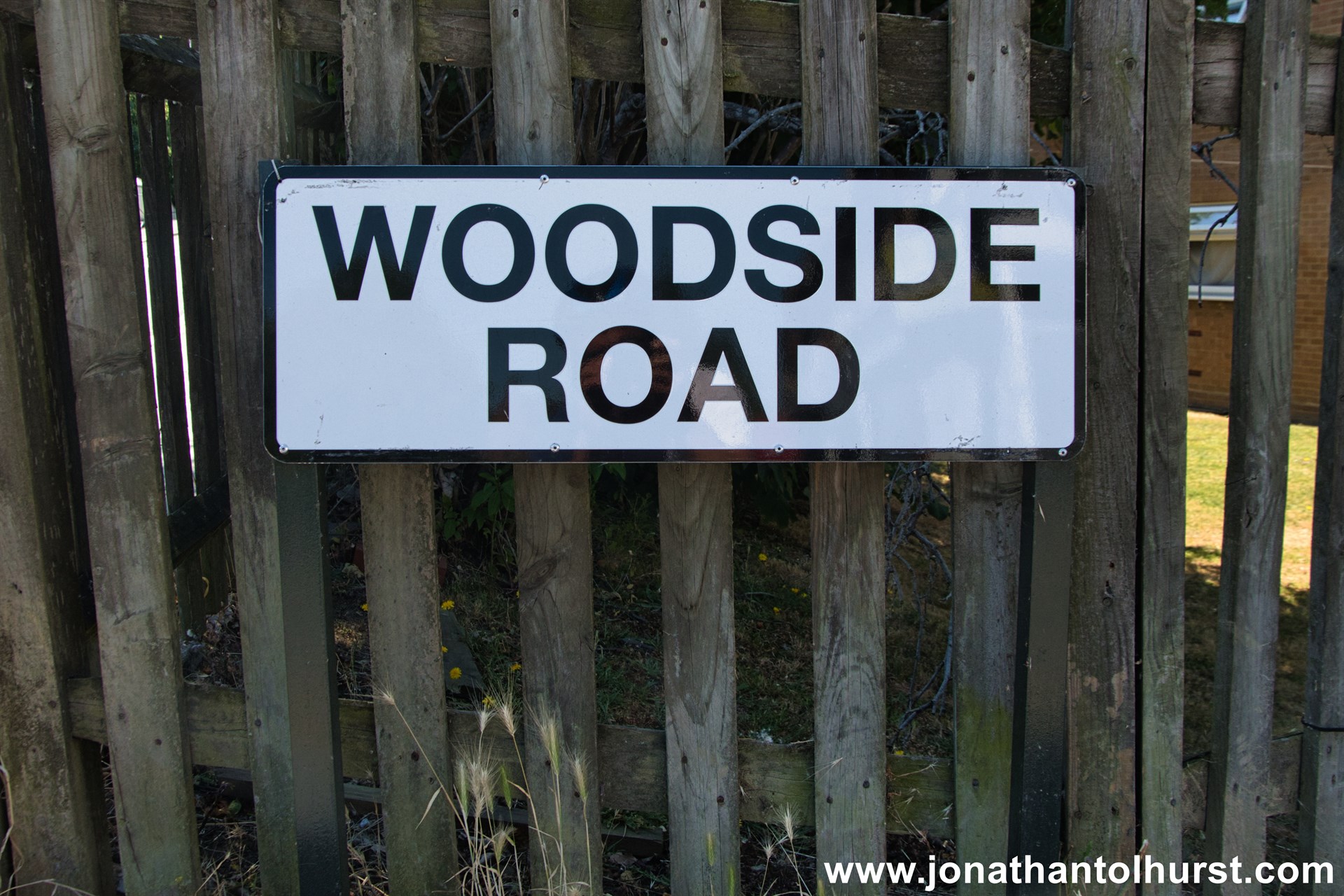
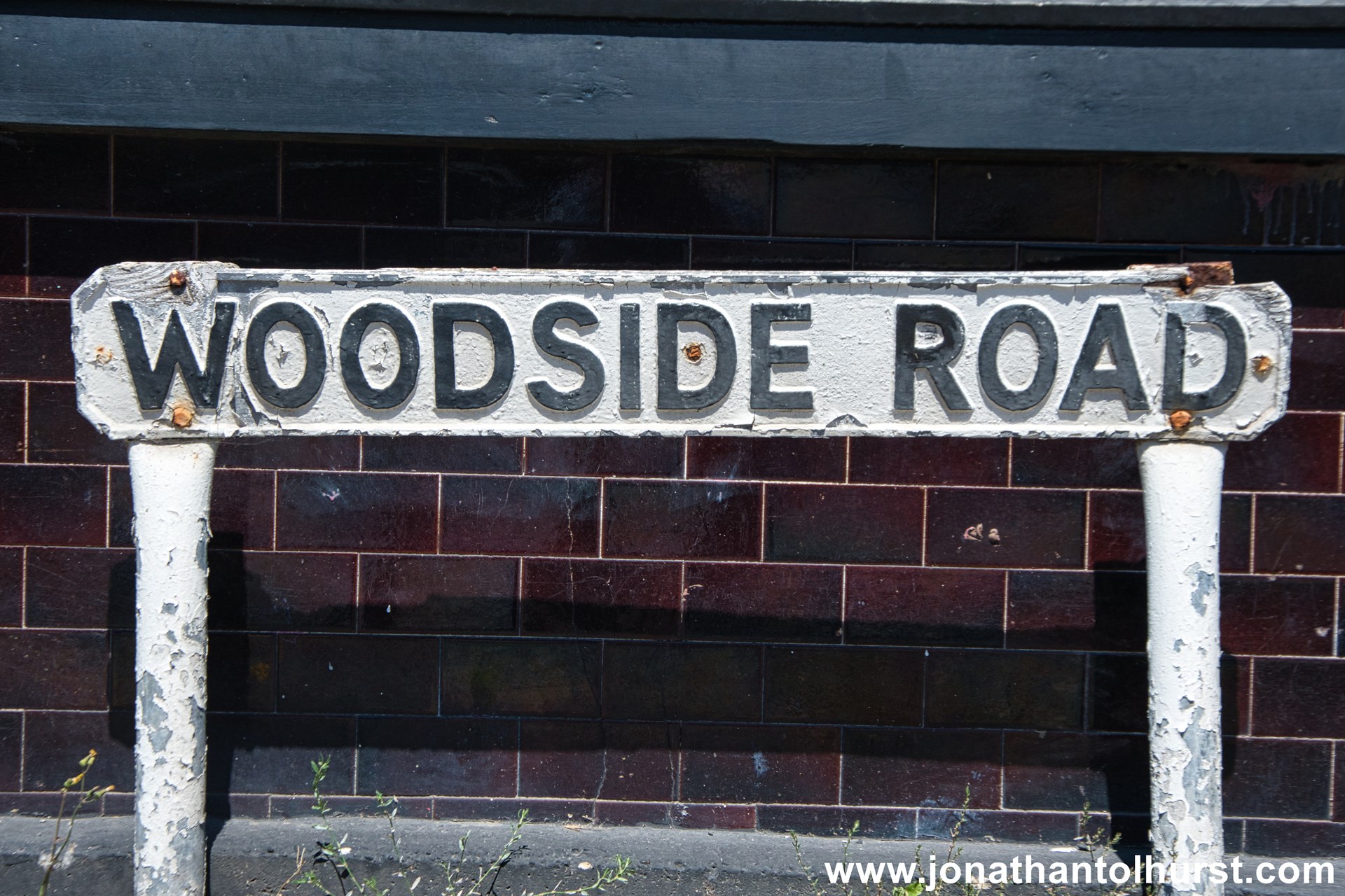
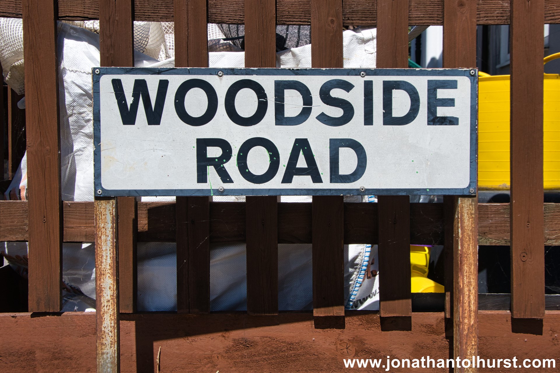
- Woodside Road
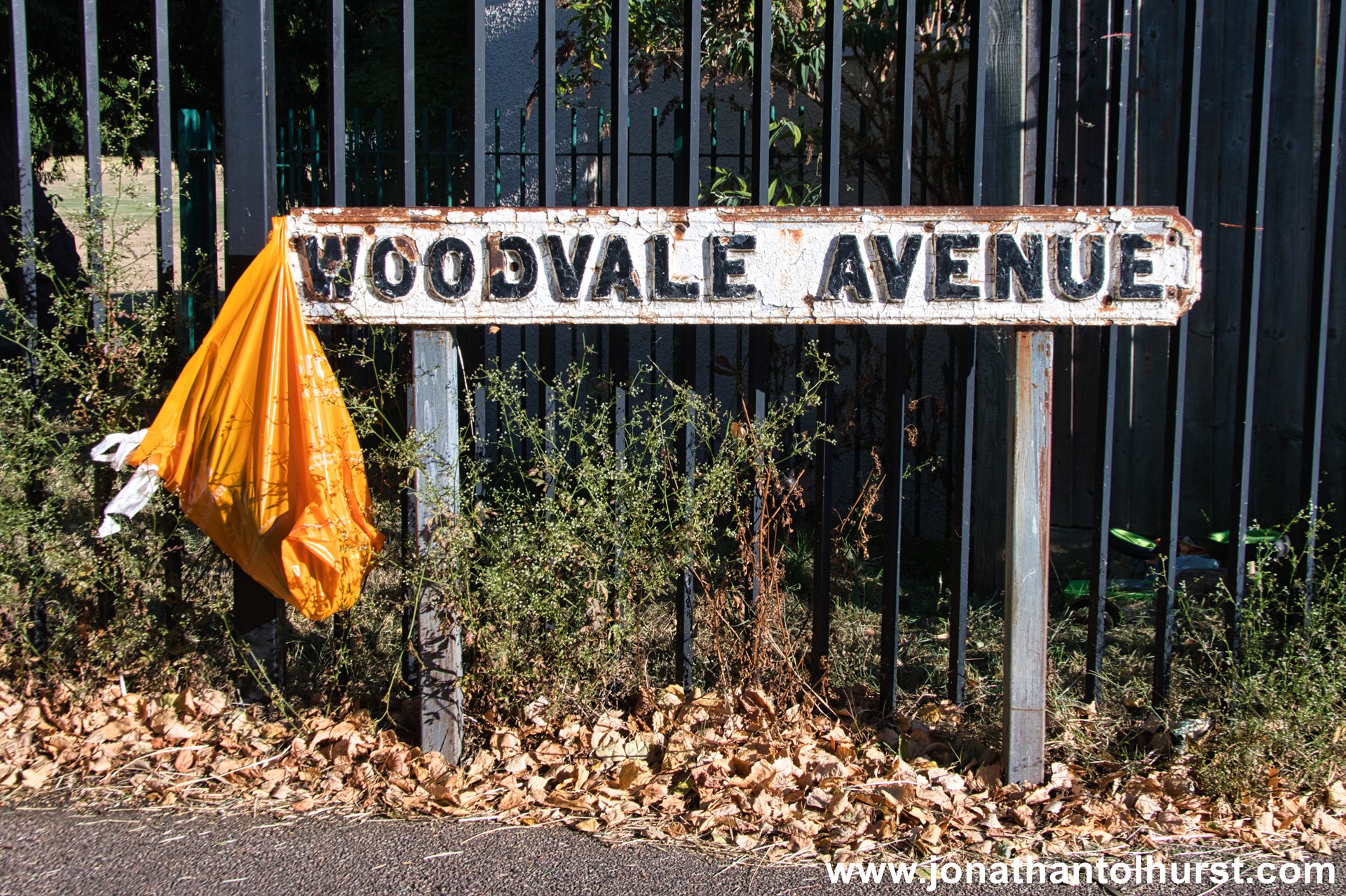
- Woodvale Avenue
- Wrights Road
- Wynton Gardens